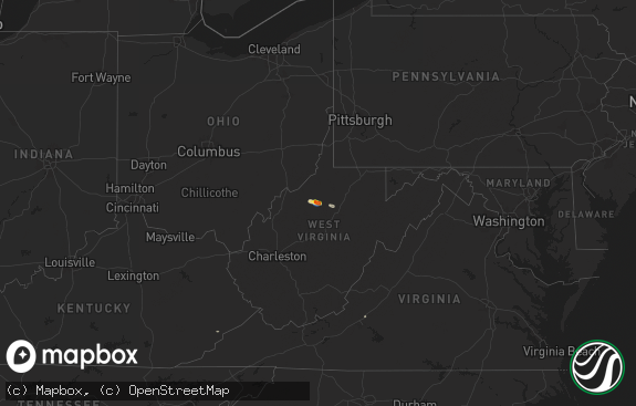
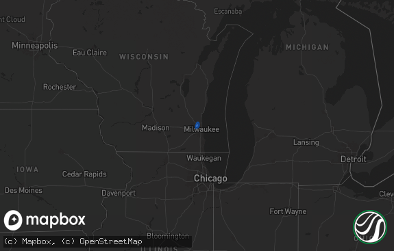
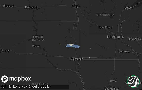
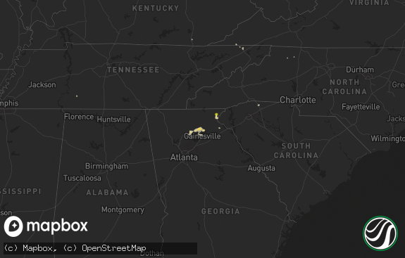
Hail Map in Delaware on August 28, 2020
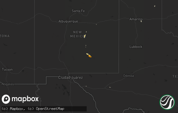
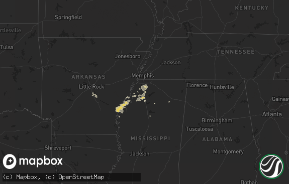
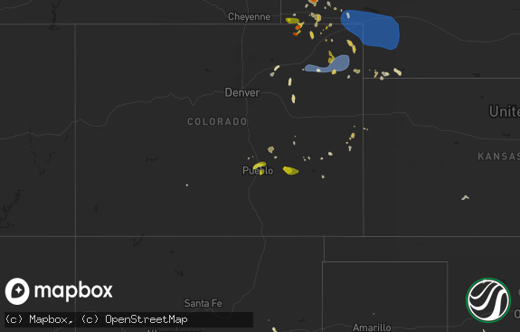
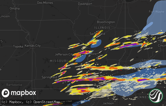
The weather event in Delaware on August 28, 2020 includes Wind and Hail maps. 25 states and 640 cities were impacted and suffered possible damage. The total estimated number of properties impacted is 2,784.

Wind
Hail
2,784
Estimated number of impacted properties by a 1.00" hail or larger1,273
Estimated number of impacted properties by a 1.75" hail or larger0
Estimated number of impacted properties by a 2.50" hail or largerStorm reports in Delaware
Delaware
| Date | Description |
|---|---|
| 08/28/20205:52 PM CDT | Downed tree limbs and wires near staytonville road east of farmington. Time estimated from radar. |
| 08/28/20204:35 PM CDT | Several reports of trees and wires down in the vicinity of cheswold. Time estimated from radar and power outage reports. |
| 08/28/20202:25 PM CDT | Downed tree limbs and power lines reported in the woodland beach area. Time estimated from radar. |
| 08/28/20201:17 AM CDT | At 617 PM EDT, a severe thunderstorm was located over Denton, or 16 miles northeast of Easton, moving southeast at 30 mph. HAZARD...60 mph wind gusts and half dollar size hail. SOURCE...Radar indicated. IMPACT...Minor damage to vehicles is possible. Wind damage to roofs, siding, trees, and power lines is possible. Locations impacted include... Seaford, Denton, Harrington, Bridgeville, Greensboro, Ridgely, Ellendale, Smithville, Griffin, Andrewsville, Greenwood and Farmington. |
| 08/27/202010:21 PM CDT | At 320 PM EDT, a severe thunderstorm was located near Smyrna, or 10 miles north of Dover, moving east at 30 mph. HAZARD...Two inch hail and 70 mph wind gusts. SOURCE...Radar indicated. IMPACT...People and animals outdoors will be injured. Expect hail damage to roofs, siding, windows, and vehicles. Expect considerable tree damage. Wind damage is also likely to mobile homes, roofs, and outbuildings. Locations impacted include... Dover, Smyrna, Clayton, Cheswold, Woodland Beach, Little Creek and Leipsic. |
All States Impacted by Hail Map on August 28, 2020
Cities Impacted by Hail Map on August 28, 2020
- Howard City, MI
- Pleasant Hill, OH
- Laura, OH
- Morland, KS
- Penokee, KS
- Hill City, KS
- Pritchett, CO
- Kim, CO
- Concordia, KS
- Winthrop, IA
- Ryan, IA
- Masonville, IA
- Coggon, IA
- Manchester, IA
- Sullivan, OH
- Fredericktown, OH
- Mount Vernon, OH
- Syracuse, KS
- Iola, TX
- Dover, DE
- Havre De Grace, MD
- Cecilton, MD
- Warwick, MD
- Smyrna, DE
- Townsend, DE
- Galena, MD
- Middletown, DE
- North East, MD
- Clayton, DE
- Earleville, MD
- Kennett Square, PA
- Chadds Ford, PA
- Traer, IA
- Gladbrook, IA
- Ashland, OH
- Ashley, MI
- Ithaca, MI
- Grinnell, KS
- Spencer, OH
- Litchfield, OH
- Valley City, OH
- Medina, OH
- Grafton, OH
- Wellington, OH
- Columbia Station, OH
- Morgantown, WV
- Hoxie, KS
- Andrews Air Force Base, MD
- Fort Washington, MD
- Temple Hills, MD
- Suitland, MD
- Clinton, MD
- Oxon Hill, MD
- Alexandria, VA
- Cimarron, KS
- Stratford, TX
- Hazleton, IA
- Fairbank, IA
- Immokalee, FL
- Winona, KS
- Olsburg, KS
- Kent City, MI
- Grant, MI
- Cedar Springs, MI
- Bailey, MI
- Sparta, MI
- Ionia, MI
- Muir, MI
- Lucas, KS
- Owings, MD
- Prince Frederick, MD
- Huntingtown, MD
- Brandywine, MD
- Waldorf, MD
- Port Republic, MD
- Aquasco, MD
- Woodbridge, VA
- New Lothrop, MI
- Tribune, KS
- Leoti, KS
- Lakeview, MI
- Morley, MI
- Greenville, PA
- Gore, VA
- Winchester, VA
- Dundee, IA
- Independence, IA
- Brandon, IA
- Hopkinton, IA
- Center Junction, IA
- Rowley, IA
- Delhi, IA
- Anamosa, IA
- Langworthy, IA
- Monticello, IA
- Quasqueton, IA
- West Chester, PA
- Mount Morris, PA
- Akron, OH
- Clinton, OH
- Hockessin, DE
- Avondale, PA
- Wilmington, DE
- Arcanum, OH
- Moline, KS
- Grainfield, KS
- Gove, KS
- Elkton, MD
- Aberdeen, MD
- Dover Afb, DE
- Camden Wyoming, DE
- Magnolia, DE
- Perry Point, MD
- Port Deposit, MD
- Chesapeake City, MD
- Perryville, MD
- Quinter, KS
- Park, KS
- Brooklyn, MI
- Medicine Lodge, KS
- New Bethlehem, PA
- Mayport, PA
- Fairmount City, PA
- Scott City, KS
- Healy, KS
- Newton, IA
- Union, IA
- Saugatuck, MI
- Douglas, MI
- Brookfield, WI
- Pewaukee, WI
- Waukesha, WI
- Elm Grove, WI
- Otsego, MI
- Hopkins, MI
- Menomonee Falls, WI
- South Haven, MI
- Milwaukee, WI
- Hamilton, MI
- Allegan, MI
- Fennville, MI
- Vermillion, KS
- Carmichaels, PA
- Lakin, KS
- Marshalltown, IA
- Dysart, IA
- Garrison, IA
- Garwin, IA
- Toledo, IA
- The Plains, VA
- Middleburg, VA
- Aldie, VA
- Tipton, KS
- Hunter, KS
- High View, WV
- Elyria, OH
- Holton, KS
- Valley Falls, KS
- Denison, KS
- Sedan, KS
- Cuba City, WI
- Oakley, KS
- Caldwell, OH
- Melbourne, IA
- Laurel, IA
- Flint, MI
- Flushing, MI
- Mount Morris, MI
- Martin, MI
- Greenville, MI
- Marienthal, KS
- Aberdeen, MS
- Belle Plaine, KS
- Udall, KS
- Oxford, KS
- Shelby, OH
- Waldo, KS
- Luray, KS
- Osborne, KS
- Kankakee, IL
- Herscher, IL
- Wooster, OH
- Cedar Vale, KS
- Crawford, WV
- Rockwell, NC
- China Grove, NC
- Salisbury, NC
- Kannapolis, NC
- Haymarket, VA
- Felicity, OH
- Bethel, OH
- Hume, VA
- Flint Hill, VA
- Huntly, VA
- Lansdowne, PA
- Clifton Heights, PA
- Springfield, PA
- Havertown, PA
- Upper Darby, PA
- Drexel Hill, PA
- Philadelphia, PA
- Charlestown, MD
- Bannister, MI
- Pompeii, MI
- Perrinton, MI
- Sumner, MI
- Johnson, KS
- Winfield, KS
- Lovelady, TX
- Dubuque, IA
- Potosi, WI
- Sherrill, IA
- Larned, KS
- Jeromesville, OH
- Kutztown, PA
- Lenhartsville, PA
- Fleetwood, PA
- Hamburg, PA
- Swartz Creek, MI
- Pullman, MI
- Colfax, IA
- Prairie City, IA
- Clifton, KS
- Bear, DE
- Sunbury, OH
- North Judson, IN
- Winston Salem, NC
- Farmdale, OH
- Kinsman, OH
- Wynnewood, PA
- Darby, PA
- Morton, PA
- Broomall, PA
- Glenolden, PA
- Ardmore, PA
- Swarthmore, PA
- Lyon Station, PA
- Shoemakersville, PA
- Cheltenham, MD
- Kellogg, IA
- Deforest, WI
- Dane, WI
- Benton, WI
- Shullsburg, WI
- Pierson, MI
- Coral, MI
- Eau Claire, MI
- Sodus, MI
- Hadley, PA
- Stoneboro, PA
- Clarks Mills, PA
- Sharpsville, PA
- Jackson Center, PA
- Fredonia, PA
- Mercer, PA
- Huron, OH
- Berlin Heights, OH
- Marshall, VA
- Longton, KS
- Elk City, KS
- Newcastle, NE
- Gilman, IA
- Frankfort, KS
- Jamestown, SC
- Garden City, KS
- Casnovia, MI
- Catharpin, VA
- Ashburn, VA
- Broad Run, VA
- Gainesville, VA
- Chantilly, VA
- Clearwater, KS
- Elwell, MI
- Saint Louis, MI
- Alma, MI
- Lyons, MI
- Annandale, VA
- McLean, VA
- Arlington, VA
- Fairfax, VA
- Vienna, VA
- Oakton, VA
- Falls Church, VA
- Dunn Loring, VA
- Grinnell, IA
- Bellevue, MI
- Shiloh, OH
- Manter, KS
- Glen Haven, WI
- Cassville, WI
- Muskegon, MI
- Gowen, MI
- Twin Lake, MI
- Fenwick, MI
- Pewamo, MI
- Orleans, MI
- Holton, MI
- Fowler, MI
- Saint Johns, MI
- Westphalia, MI
- Belding, MI
- Sand Lake, MI
- Ravenna, MI
- Rockford, MI
- Woodville, VA
- Washington, VA
- Sperryville, VA
- Castleton, VA
- Owosso, MI
- Merion Station, PA
- Wayne, PA
- Holmes, PA
- Wallingford, PA
- Haverford, PA
- Villanova, PA
- Media, PA
- Newtown Square, PA
- Bryn Mawr, PA
- Folsom, PA
- Westover, MD
- Princess Anne, MD
- Clarksburg, MD
- Barnesville, MD
- Boyds, MD
- Protection, KS
- Denton, MD
- Uniontown, OH
- Watertown, WI
- Wellington, KS
- Burden, KS
- Lenoir, NC
- Mitchellville, IA
- Runnells, IA
- North Star, MI
- Burton, MI
- Davison, MI
- Oakley, MI
- Corunna, MI
- Chesaning, MI
- Montrose, MI
- Bagley, WI
- Chester Heights, PA
- Glen Mills, PA
- Aston, PA
- Fulks Run, VA
- Elk Falls, KS
- Grenola, KS
- Clinton, MI
- Sylvan Grove, KS
- Galion, OH
- Spring, TX
- Weston, WV
- Horner, WV
- Lorton, VA
- Manassas, VA
- Fairfax Station, VA
- Reddick, IL
- Bonfield, IL
- Kittanning, PA
- Adrian, PA
- Templeton, PA
- Waynesburg, PA
- Spraggs, PA
- Hinton, VA
- Dayton, VA
- Jetmore, KS
- Ingalls, KS
- Zanesfield, OH
- West Liberty, OH
- Ellis, KS
- Eureka, KS
- Hockley, TX
- Earlville, IA
- Mazon, IL
- Gardner, IL
- Lancaster, WI
- Zearing, IA
- Monroe, IA
- Rushsylvania, OH
- Belle Center, OH
- Bussey, IA
- Alton, KS
- Holly, CO
- Hartland, WI
- Sussex, WI
- Jamestown, PA
- Decatur, MI
- Kennerdell, PA
- Emlenton, PA
- Wakarusa, IN
- Nappanee, IN
- New Paris, IN
- Goshen, IN
- Grove City, PA
- Dexter, KS
- Shelbyville, MI
- Russell, KS
- Hubbardston, MI
- Niles, MI
- Berrien Springs, MI
- Buchanan, MI
- Ubly, MI
- Bellefontaine, OH
- Guttenberg, IA
- Bloomington, WI
- Clio, MI
- Burghill, OH
- Barberton, OH
- Senecaville, OH
- Kipling, OH
- Cambridge, OH
- Lore City, OH
- Byesville, OH
- Drayden, MD
- Great Mills, MD
- Valley Lee, MD
- Park Hall, MD
- Lexington Park, MD
- Saint Inigoes, MD
- Dameron, MD
- Snow Hill, MD
- Altoona, IA
- Coal Township, PA
- Paxinos, PA
- Shamokin, PA
- Cutler, IN
- Urbana, OH
- Hornick, IA
- Bronson, IA
- Landenberg, PA
- Greenwood, DE
- Harrington, DE
- Ridgely, MD
- Ogallah, KS
- Aurora, IA
- Columbus, OH
- Henderson, MI
- Oelwein, IA
- Lima, OH
- Galena, OH
- Stockton, IL
- Apple River, IL
- Lennon, MI
- Tremont, MS
- Brant, MI
- Elsie, MI
- Middleton, MI
- Crystal, MI
- Wheeler, MI
- Merrill, MI
- Saint Charles, MI
- Demotte, IN
- Wheatfield, IN
- Conway Springs, KS
- Viola, KS
- Milton, KS
- Clemons, IA
- Albion, IA
- McCallsburg, IA
- Hubbard, IA
- Saint Anthony, IA
- New Providence, IA
- Liscomb, IA
- Pocomoke City, MD
- Grenville, NM
- Dunkerton, IA
- Continental, OH
- Chester Gap, VA
- Foster, KY
- Cambridge, MD
- Oconomowoc, WI
- Lexington, NC
- East Brady, PA
- Chicora, PA
- Cedarburg, WI
- Mequon, WI
- Grafton, WI
- Upperville, VA
- Syria, VA
- Stevensville, MI
- Saint Joseph, MI
- Indian Head, MD
- Pomfret, MD
- La Plata, MD
- Bryans Road, MD
- White Plains, MD
- Laurel, DE
- Madison, MD
- Chebanse, IL
- Exton, PA
- Downingtown, PA
- Lewis Center, OH
- Peru, KS
- Dewitt, MI
- Jackson, MI
- Worthington, IA
- Cascade, IA
- Spivey, KS
- La Porte City, IA
- Harper, KS
- Sergeant Bluff, IA
- Salix, IA
- Zenda, KS
- Lodi, WI
- Arlington, WI
- Haverhill, IA
- Clewiston, FL
- Hartly, DE
- Conroe, TX
- New Caney, TX
- Scales Mound, IL
- Odessa, DE
- North Beach, MD
- Tracys Landing, MD
- Chesapeake Beach, MD
- Friendship, MD
- Washington, DC
- Dunkirk, MD
- Fort Belvoir, VA
- Upper Marlboro, MD
- Woodstock, OH
- Cable, OH
- Mechanicsburg, OH
- Tomball, TX
- Cypress, TX
- Waller, TX
- Transfer, PA
- Beaman, IA
- Vinton, IA
- Conrad, IA
- Wilmington, IL
- Marengo, OH
- Kendall, KS
- Prairie Du Chien, WI
- Mount Hope, WI
- Lexington, AL
- Florence, AL
- Tuscumbia, AL
- Sheffield, AL
- Killen, AL
- Rogersville, AL
- Muscle Shoals, AL
- Haleyville, AL
- Moulton, AL
- Addison, AL
- Danville, AL
- Double Springs, AL
- Hartselle, AL
- Houston, AL
- Falkville, AL
- Vinemont, AL
- Broadway, VA
- Kingston Springs, TN
- Nashville, TN
- Ashland City, TN
- Pegram, TN
- Centerville, TN
- Madison, TN
- Whites Creek, TN
- Bon Aqua, TN
- Fairview, TN
- Lyles, TN
- Mcminnville, TN
- Morrison, TN
- Manchester, TN
- Dodge City, KS
- Mullinville, KS
- Bucklin, KS
- Wright, KS
- Holcomb, KS
- Ford, KS
- Spearville, KS
- Greensburg, KS
- Minneola, KS
- Mount Auburn, IA
- Bristol, PA
- Joint Base Mdl, NJ
- Langhorne, PA
- Warminster, PA
- Horsham, PA
- Huntingdon Valley, PA
- Southampton, PA
- Florence, NJ
- Dublin, PA
- Cookstown, NJ
- Lansdale, PA
- Willingboro, NJ
- Warrington, PA
- Doylestown, PA
- Richboro, PA
- Sellersville, PA
- Telford, PA
- Montgomeryville, PA
- Newtown, PA
- Roebling, NJ
- Pemberton, NJ
- Hatfield, PA
- Quakertown, PA
- Mount Holly, NJ
- Ambler, PA
- Bordentown, NJ
- Croydon, PA
- Line Lexington, PA
- Fairless Hills, PA
- Burlington, NJ
- Feasterville Trevose, PA
- Colmar, PA
- Jobstown, NJ
- Wrightstown, NJ
- Columbus, NJ
- Jamison, PA
- Furlong, PA
- Chalfont, PA
- Silverdale, PA
- Beverly, NJ
- Souderton, PA
- Bryn Athyn, PA
- Perkasie, PA
- Hatboro, PA
- Levittown, PA
- Fountainville, PA
- Bensalem, PA
- Hilltown, PA
- Lakehurst, NJ
- Browns Mills, NJ
- Vincentown, NJ
- North Wales, PA
- Belleville, PA
- Petersburg, PA
- Lewistown, PA
- Pennsylvania Furnace, PA
- Huntingdon, PA
- Ashville, PA
- Carrolltown, PA
- Hollidaysburg, PA
- Altoona, PA
- Gallitzin, PA
- Ebensburg, PA
- Loretto, PA
- Patton, PA


