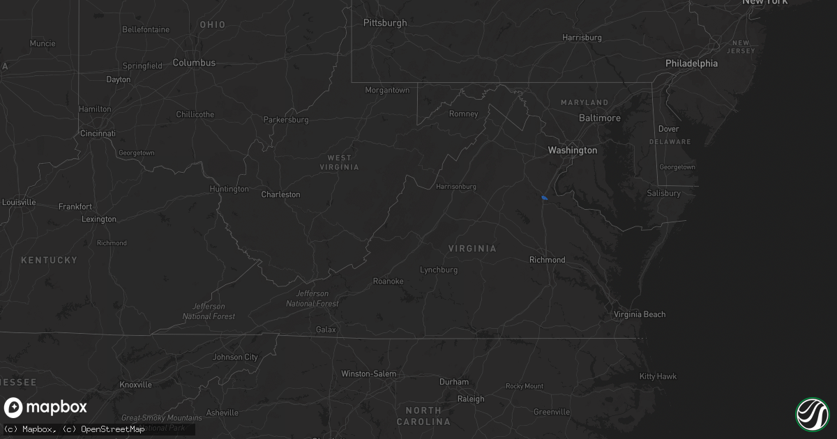
Hail Map in Virginia on August 24, 2020
Get this storm
August 24 map
$229
one time, instant access
Download today. No call, no setup
Keep the $229
Bought the map and want the full workflow? Apply the entire $229 to a subscription within 7 days. None of it is wasted.
Every map, not just this one
This buys you this map. Subscription and you get every map we run, in the markets you choose from a few cities to whole states to nationwide. Plus real-time alerts the moment a storm fires.
Contact data
Name, contact info, occupancy, even credit band for addresses in the footprint. You go from where it hit to who to call.
Become the source they trust
Unlimited branding weather history reports on demand. You already have the documented answer ready for the property owner, and you are the one who showed up with it.
Property data and RoofTrace estimates
Pull up any address you have got, its value and the exact code rules for that jurisdiction, straight from One Click Code. Then RoofTrace estimates the squares, pitch, and roof value, priced the way you price.
Storm reports in Virginia
Virginia
| Date | Description |
|---|---|
| 08/24/20206:46 PM CDT | Power-lines down along the 172 block of mount sterling drive. |
| 08/24/20206:45 PM CDT | Multiple large trees down all along sweeney circle due to strong winds associated with a thunderstorm. Storm debris scattered along roadways e.g leaves... Twigs... Bran |
| 08/24/20206:41 PM CDT | Power-lines reported down along the 120 block of ventura drive. |
| 08/24/20206:38 PM CDT | A tree down on power-line along the 1155 block of rainbow forest drive. |
| 08/24/20206:33 PM CDT | Trees and power lines down. |
| 08/24/20206:33 PM CDT | Power lines downed at intersection of enterprise drive and laxton road. |
| 08/24/20206:31 PM CDT | Power lines down. |
| 08/24/20206:30 PM CDT | Downed trees on sweeney circle. |
| 08/24/20205:59 PM CDT | 9 houses damaged with 1 roof collapsed in the lees park neighborhood. Specifically... The 5000 block of holley oak lane. 1 unfinished structure had associated debris im |
| 08/24/20205:58 PM CDT | Trees down blocking smith station rd at jefferson davis highway |
| 08/24/20205:40 PM CDT | Tree down on power line resulting in multiple power outages. Time estimated from radar data. |
| 08/24/20204:52 PM CDT | Trees down blocking a portion of jefferson davis highway in massaponax |
| 08/24/20204:06 PM CDT | Trees and powerlines down on the 3500 block of mine road |
| 08/24/20204:06 PM CDT | Tree down on the 300 block of landsdowne road |
| 08/24/20204:01 PM CDT | Tree down near the intersection of tignor lane and anderson street |
| 08/24/20203:55 PM CDT | Tree down on the 900 block of dahlgren road |
| 08/24/20203:53 PM CDT | Numerous reports of trees and powerlines down in the vicinity of the city of fredericksburg |
| 08/24/202012:45 PM CDT | Tree down near the intersection of paul spring road and rebecca drive. Time estimated from radar. |
| 08/24/202012:43 PM CDT | Road closed near the intersection of old keene mill road and hillside road due to downed powerlines. |
| 08/24/20202:14 AM CDT | At 713 PM EDT, a severe thunderstorm was located over Boonsboro, or near Forest, moving east at 15 mph. HAZARD...60 mph wind gusts. SOURCE...Radar indicated. IMPACT...Expect damage to roofs, siding, and trees. Locations impacted include... Lynchburg... Concord... Rustburg... Forest... Coleman Falls... Madison Heights... and Boonsboro.This includes The following Locations Liberty University andLynchburg Airport. |
| 08/24/20201:19 AM CDT | At 619 PM EDT, a severe thunderstorm was located over Massaponax, or 9 miles south of Fredericksburg, moving south at 15 mph. HAZARD...60 mph wind gusts and quarter size hail. SOURCE...Radar indicated. IMPACT...Damaging winds will cause some trees and large branches to fall. This could injure those outdoors, as well as damage homes and vehicles. Roadways may become blocked by downed trees. Localized power outages are possible. Unsecured light objects may become projectiles. Locations impacted include... Massaponax, Spotsylvania, Thornburg and Snell. |
| 08/24/202012:08 AM CDT | At 508 PM EDT, a severe thunderstorm was located 8 miles northwest of Fredericksburg, moving southeast at 20 mph. HAZARD...60 mph wind gusts and nickel size hail. SOURCE...Radar indicated. IMPACT...Expect damage to trees and powerlines. This severe thunderstorm will remain over mainly rural areas of northeastern Caroline County, including the following locations... Rappahannock Academy, Sparta, Villboro, Woodford, Guinea and Corbin. |
| 08/23/202011:46 PM CDT | At 446 PM EDT, a severe thunderstorm was located over Popes Creek, moving east at 20 mph. HAZARD...60 mph wind gusts and quarter size hail. SOURCE...Radar indicated. IMPACT...Damaging winds will cause some trees and large branches to fall. This could injure those outdoors, as well as damage homes and vehicles. Roadways may become blocked by downed trees. Localized power outages are possible. Unsecured light objects may become projectiles. Locations impacted include... Dahlgren, Nanjemoy Creek, Popes Creek, Port Tobacco River, Wicomico River, Wicomico, Mechanicsville, Cobb Island, Rock Point, Bushwood, Clements, Issue, Tompkinsville, Abell, Chaptico, Swan Point, Avenue, Faulkner, Loveville and Oakley. |
| 08/23/20209:31 PM CDT | At 231 PM EDT, a severe thunderstorm was located near Warrenton, moving east at 10 mph. HAZARD...60 mph wind gusts and quarter size hail. SOURCE...Radar indicated. IMPACT...Damaging winds will cause some trees and large branches to fall. This could injure those outdoors, as well as damage homes and vehicles. Roadways may become blocked by downed trees. Localized power outages are possible. Unsecured light objects may become projectiles. Locations impacted include... Warrenton, New Baltimore, Meadowville, Airlie, Broken Hill, Auburn and Casanova. |
| 08/23/20209:16 PM CDT | At 216 PM EDT, a severe thunderstorm was located over Big Meadows, or 13 miles northwest of Madison, moving southeast at 25 mph. HAZARD...60 mph wind gusts and quarter size hail. SOURCE...Radar indicated. IMPACT...Damaging winds will cause some trees and large branches to fall. This could injure those outdoors, as well as damage homes and vehicles. Roadways may become blocked by downed trees. Localized power outages are possible. Unsecured light objects may become projectiles. Locations impacted include... Culpeper, Madison, Big Meadows, Brightwood, Criglersville, Ida, Etlan, Oakpark, Haywood, Pratts, Syria, Aroda, Banco, Pine Grove, Reva, Fordsville, Graves Mill, Twymans Mill, Aylor and Leon. |
All States Impacted by Hail Map on August 24, 2020
Cities Impacted by Hail Map on August 24, 2020
- Greenwood, WI
- Stoughton, WI
- Janesville, WI
- Edgerton, WI
- Sharon, WI
- Milton, WI
- Darien, WI
- Avalon, WI
- Cambridge, WI
- Clinton, WI
- Fort Atkinson, WI
- Augusta, WI
- Osseo, WI
- Fairchild, WI
- Markesan, WI
- Cambria, WI
- Fox Lake, WI
- Randolph, WI
- Columbus, WI
- Sun Prairie, WI
- Marshall, WI
- Deforest, WI
- Arlington, WI
- Rio, WI
- Poynette, WI
- Spencer, WI
- Chili, WI
- Pittsville, WI
- Necedah, WI
- Nekoosa, WI
- Arkdale, WI
- Willard, WI
- Franklin, MN
- Fairfax, MN
- Westfield, WI
- Oxford, WI
- Gibbon, MN
- Hector, MN
- Grand Marsh, WI
- Wisconsin Dells, WI
- Delavan, WI
- Butler, WI
- Brookfield, WI
- Milwaukee, WI
- Walworth, WI
- Burlington, WI
- Springfield, WI
- Lake Geneva, WI
- Elkhorn, WI
- Whitewater, WI
- Palmyra, WI
- Westfield, NY
- Eau Claire, WI
- Wisconsin Rapids, WI
- Stanley, WI
- Alma Center, WI
- Wautoma, WI
- Neshkoro, WI
- Lake Mills, WI
- Waterloo, WI
- Neillsville, WI
- Deerfield, WI
- Stratford, WI
- Waupun, WI
- Beaver Dam, WI
- Friendship, WI
- Coloma, WI
- Chippewa Falls, WI
- Elk Mound, WI
- Colfax, WI
- Olivia, MN
- Bird Island, MN
- Hebron, IL
- Woodstock, IL
- Wonder Lake, IL
- Babcock, WI
- Ripley, NY
- North East, PA
- Iron Ridge, WI
- Hartford, WI
- Rubicon, WI
- Horicon, WI
- Lodi, WI
- Dane, WI
- Adams, WI
- Montello, WI
- Marshfield, WI
- Auburndale, WI
- Hubertus, WI
- Colgate, WI
- Fall River, WI
- Pardeeville, WI
- Portage, WI
- Granton, WI
- Mosinee, WI
- Endeavor, WI
- Packwaukee, WI
- Hancock, WI
- Watertown, WI
- Dalton, WI
- Bancroft, WI
- Mchenry, IL
- Crystal Lake, IL
- Wyocena, WI
- Burnett, WI
- Harvard, IL
- Humbird, WI
- Fall Creek, WI
- Merrillan, WI
- Madison, WI
- Berlin, WI
- Hilton, NY
- Jefferson, WI
- Loyal, WI
- Cadott, WI
- Vesper, WI
- Arpin, WI
- Buffalo Lake, MN
- Lowell, WI
- Hustisford, WI
- Eleva, WI
- Neosho, WI
- Black River Falls, WI
- Port Edwards, WI
- Williams Bay, WI
- Lake In The Hills, IL
- Algonquin, IL
- Cottage Grove, WI
- Sussex, WI
- Barrington, IL
- Cary, IL
- Fox River Grove, IL
- Hoffman Estates, IL
- Richmond, IL
- Reeseville, WI
- Richfield, WI
- Fontana, WI
- Strum, WI
- Juneau, WI
- Palatine, IL
- Doylestown, WI
- Ringwood, IL
- Kingston, WI
- Brandon, WI
- New Lisbon, WI
- Tomah, WI
- Theresa, WI
- Allenton, WI
- Mayville, WI
- Owen, WI
- Brownsville, WI
- Lomira, WI
- Fond Du Lac, WI
- Oakfield, WI
- Menomonee Falls, WI
- West Bend, WI
- Lebanon, WI
- Ripon, WI
- Hewitt, WI
- Princeton, WI
- Carpentersville, IL
- Londonderry, NH
- Derry, NH
- Northfield, MA
- Winchester, NH
- Vernon, VT
- Hinsdale, NH
- East Hampton, CT
- Colchester, CT
- Portland, CT
- Cromwell, CT
- South Glastonbury, CT
- New Fairfield, CT
- Starksboro, VT
- Whitehall, NY
- Fair Haven, VT
- Huletts Landing, NY
- Clemons, NY
- Goffstown, NH
- Manchester, NH
- Rehoboth, MA
- Kents Hill, ME
- Canton, ME
- Livermore Falls, ME
- Jay, ME
- Skowhegan, ME
- Anson, ME
- Norridgewock, ME
- Naples, ME
- Sebago, ME
- Gardiner, ME
- Whitefield, ME
- Windham, ME
- Bristol, VT
- Poultney, VT
- Fredericksburg, VA
- Shickshinny, PA
- Plymouth, PA
- Wilkes Barre, PA
- Nanticoke, PA
- Wapwallopen, PA
- Hunlock Creek, PA
- Glen Lyon, PA
- Kingston, PA
- Mountain Top, PA
- Altoona, WI


