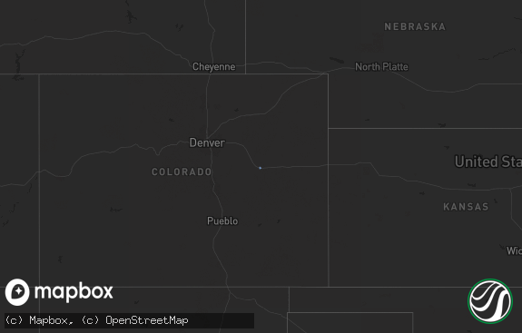
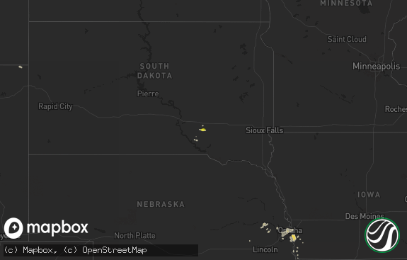
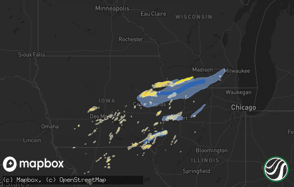
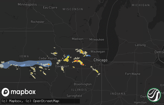
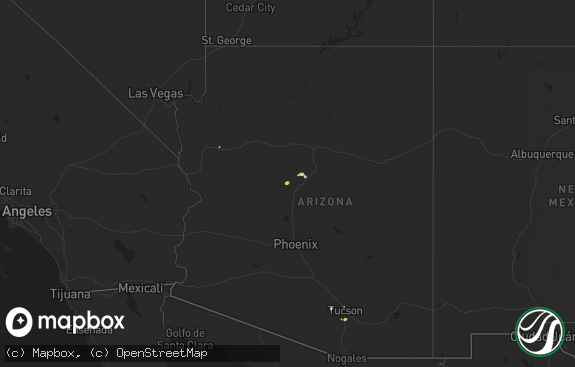
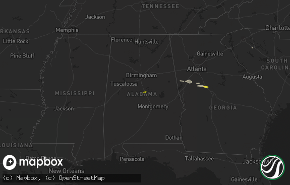
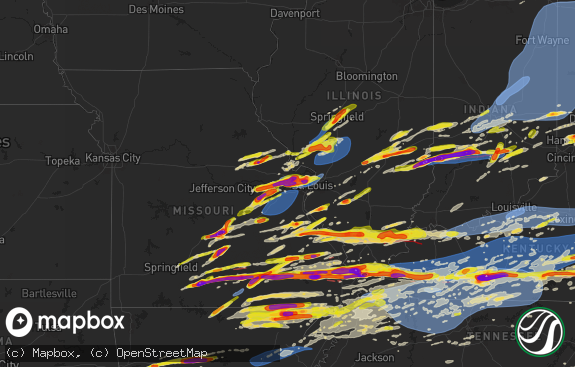
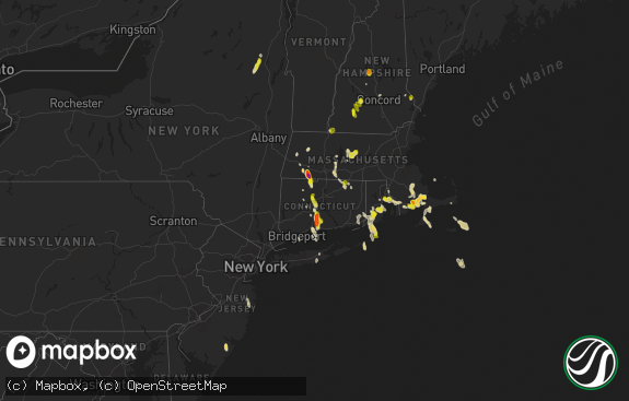
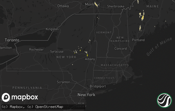
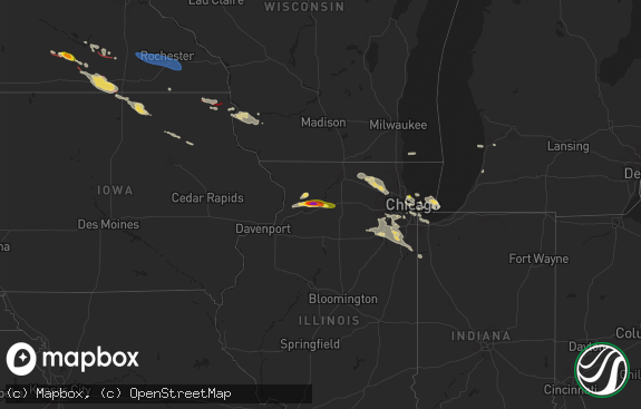
Hail Map in Vermont on August 3, 2018
The weather event in Vermont on August 3, 2018 includes Hail map. 23 states and 387 cities were impacted and suffered possible damage. The total estimated number of properties impacted is 0.

Hail
0
Estimated number of impacted properties by a 1.00" hail or larger0
Estimated number of impacted properties by a 1.75" hail or larger0
Estimated number of impacted properties by a 2.50" hail or largerStorm reports in Vermont
Vermont
| Date | Description |
|---|---|
| 08/03/20182:15 PM CDT | Trees down |
| 08/02/201810:15 PM CDT | At 314 PM EDT, a severe thunderstorm was located near Alstead, or 12 miles south of Claremont, moving northeast at 35 mph. HAZARD...60 mph wind gusts and penny size hail. SOURCE...Radar indicated. IMPACT...Expect damage to roofs, siding, and trees. Locations impacted include... Keene, Henniker, New London, Hopkinton, Charlestown, Bradford, Newport, Gilsum, Walpole, Warner, Alstead, Westmoreland, Marlow, Surry, Sullivan, Chesterfield, Hillsborough, Lempster, Acworth and Goshen.This includes Interstate 89 between mile markers 18 and 38. This also includes... Mount Sunapee. |
| 08/02/20188:02 PM CDT | At 101 PM EDT, a severe thunderstorm was located near Cambridge, or near Hoosick Falls, moving northeast at 30 mph. HAZARD...60 mph wind gusts and quarter size hail. SOURCE...Radar indicated. IMPACT...Hail damage to vehicles is expected. Expect wind damage to roofs, siding, and trees. This severe thunderstorm will be near... Cambridge around 105 PM EDT. Shaftsbury around 125 PM EDT. Arlington around 135 PM EDT. Manchester around 145 PM EDT. Manchester Center around 150 PM EDT. Stratton around 155 PM EDT.Other locations impacted by this severe thunderstorm includeWardsboro Center, Center White Creek, Hoosick Junction, Paper MillVillage, Sodom, Chiselville, South Shaftsbury, Barnumville,Eagleville and North Cambridge. |
All States Impacted by Hail Map on August 3, 2018
Cities Impacted by Hail Map on August 3, 2018
- Fifield, WI
- Park Falls, WI
- Clear Lake, SD
- Cottonwood, MN
- Goodland, KS
- Edson, KS
- Glidden, WI
- Iron Belt, WI
- Upson, WI
- Billings, MT
- Hettinger, ND
- Ellsworth, WI
- Elmwood, WI
- Washburn, WI
- Saint Paul, MN
- Saint Francis, KS
- Livingston, MT
- Saxon, WI
- Hurley, WI
- Rugby, ND
- Pierz, MN
- Hillman, MN
- Durham, NH
- Nottingham, NH
- Lee, NH
- Eau Claire, WI
- Fall Creek, WI
- Altoona, WI
- Hamilton, CO
- Craig, CO
- Barrington, NH
- Madbury, NH
- Lamar, CO
- Hot Springs, SD
- Oral, SD
- Saint Croix Falls, WI
- Balsam Lake, WI
- Woodville, WI
- Baldwin, WI
- Jordan, MN
- New Prague, MN
- Greenville, MO
- River Falls, WI
- Prentice, WI
- Annandale, MN
- Glen Ullin, ND
- Grove City, MN
- White Rock, NM
- Montreal, WI
- Ashland, WI
- Gile, WI
- Beldenville, WI
- Maiden Rock, WI
- Danbury, WI
- Cheneyville, LA
- Saint Landry, LA
- Wilson, WI
- Spring Valley, WI
- Onamia, MN
- Idalia, CO
- Kirk, CO
- Peridot, AZ
- Benkelman, NE
- Phillips, WI
- Avon, MN
- Enders, NE
- Imperial, NE
- Plum City, WI
- Anamoose, ND
- Mellen, WI
- Marengo, WI
- Trego, WI
- Watertown, SD
- North Platte, NE
- Hershey, NE
- Oakes, ND
- Clark, CO
- Benson, MN
- Murdock, MN
- Sunburg, MN
- Elsie, NE
- Ludlow, SD
- Mora, MN
- Pillager, MN
- Nisswa, MN
- Carson, ND
- Eau Galle, WI
- Menomonie, WI
- Madison, MN
- Marietta, MN
- Litchfield, MN
- Dassel, MN
- Darwin, MN
- Scandia, MN
- Forest Lake, MN
- Marine On Saint Croix, MN
- Hugo, MN
- Osceola, WI
- Medford, WI
- Avoca, MI
- Brewster, KS
- Graceville, MN
- Dequincy, LA
- Thompson, UT
- Isle, MN
- Wahkon, MN
- Lemmon, SD
- Minneapolis, MN
- Osseo, MN
- Maple Grove, MN
- Holly, CO
- Revillo, SD
- Milbank, SD
- Appleton, MN
- Bellingham, MN
- Dawson, MN
- Gary, SD
- Oldsmar, FL
- Flasher, ND
- Mandan, ND
- Ville Platte, LA
- Buffalo, SD
- Rosemount, MN
- Holloway, MN
- Montevideo, MN
- Spanish Fork, UT
- Bridger, MT
- Wray, CO
- Dover, NH
- Eden Prairie, MN
- Shakopee, MN
- Burnsville, MN
- Savage, MN
- Hastings, MN
- Inver Grove Heights, MN
- Prior Lake, MN
- Cushing, MN
- Motley, MN
- Drake, ND
- Lodgepole, SD
- Roberts, MT
- East Carbon, UT
- Odessa, MN
- Ainsworth, NE
- Johnstown, NE
- Glencoe, MN
- Hill City, SD
- Weskan, KS
- Arapahoe, CO
- Elgin, ND
- Almont, ND
- Center City, MN
- Weyerhaeuser, WI
- Rice Lake, WI
- Welch, MN
- Brantwood, WI
- Beardsley, MN
- Alzada, MT
- Capitol, MT
- Becker, MN
- Monticello, MN
- Milford, UT
- Palisade, NE
- Wauneta, NE
- New Richmond, WI
- Pine Ridge, SD
- Sebeka, MN
- Lecompte, LA
- Mcclusky, ND
- Lodge Grass, MT
- Karlsruhe, ND
- Brainerd, MN
- Champion, NE
- Hudson, WI
- North Branch, MN
- Pequot Lakes, MN
- Staples, MN
- Baxter, MN
- Santa Fe, NM
- Kimball, MN
- Cokato, MN
- South Haven, MN
- Buffalo, MN
- Maple Lake, MN
- Saint Cloud, MN
- Waite Park, MN
- Rockville, MN
- Cold Spring, MN
- Saint Michael, MN
- Salisbury, NH
- Franklin, NH
- Canterbury, NH
- Belmont, NH
- Gilmanton, NH
- Concord, NH
- Tilton, NH
- Gilmanton Iron Works, NH
- Delmar, NY
- Albany, NY
- Ravena, NY
- Feura Bush, NY
- Selkirk, NY
- Coeymans Hollow, NY
- Glenmont, NY
- Exeland, WI
- Hawkins, WI
- Glen Flora, WI
- Mondovi, WI
- Stanchfield, MN
- Cambridge, MN
- Ortonville, MN
- Sheridan Lake, CO
- Elk Mound, WI
- Wiley, CO
- New Leipzig, ND
- Saint Anthony, ND
- New Salem, ND
- Circle Pines, MN
- High Bridge, WI
- Roberts, WI
- Somerset, WI
- Burwell, NE
- Kennan, WI
- Catawba, WI
- Haugen, WI
- Mikana, WI
- Rib Lake, WI
- Ogema, WI
- Peever, SD
- Canby, MN
- La Pointe, WI
- Mercer, WI
- Winthrop, MN
- Spicer, MN
- New London, MN
- Forest Hill, LA
- Woodworth, LA
- Alexandria, LA
- Watkins, MN
- Greencastle, IN
- Le Sueur, MN
- Westboro, WI
- Spooner, WI
- Hager City, WI
- Prescott, WI
- Le Center, MN
- Shafer, MN
- Star Prairie, WI
- Centuria, WI
- Tryon, NE
- Sutherland, NE
- Sartell, MN
- Saint Joseph, MN
- Atwater, MN
- Pennock, MN
- Watauga, SD
- McNeal, AZ
- Merrill, WI
- Tomahawk, WI
- Denhoff, ND
- Carver, MN
- Lakeville, MN
- New Iberia, LA
- Hulett, WY
- Alva, WY
- Punta Gorda, FL
- Meeker, CO
- Garrison, MN
- Birchwood, WI
- Wallace, NE
- Barron, WI
- Vulcan, MI
- Niagara, WI
- Danvers, MN
- Wallace, KS
- Webster, MN
- Hayes Center, NE
- Washington Court House, OH
- Clinton, MN
- Sharon Springs, KS
- Moorcroft, WY
- Fort Ripley, MN
- Athens, WI
- Butte, NE
- Garita, NM
- Goodrich, ND
- Lindstrom, MN
- Kerkhoven, MN
- Levant, KS
- Yale, MI
- Clarkfield, MN
- McGrath, MN
- Starbuck, MN
- Hancock, MN
- Springview, NE
- Kirklin, IN
- Glenwood, MN
- Buffalo Gap, SD
- Sarona, WI
- Shell Lake, WI
- Cadott, WI
- Bena, MN
- Gallatin Gateway, MT
- Gypsum, CO
- Corona, SD
- Oak Park, MN
- Princeton, MN
- Frankfort, IN
- Sabina, OH
- Goodwin, SD
- Strandburg, SD
- Jamestown, OH
- Howard Lake, MN
- Rensselaer, NY
- Sandstone, MN
- Milaca, MN
- Ogilvie, MN
- Wolbach, NE
- Correll, MN
- Granite Falls, MN
- Butternut, WI
- Rapid River, MI
- Epsom, NH
- Suncook, NH
- Chichester, NH
- Bird City, KS
- Douglas, AZ
- Dickens, NE
- Brownton, MN
- Vernon, CO
- Mount Washington, KY
- Hinckley, MN
- Putney, VT
- Westmoreland, NH
- North Street, MI
- Echo, MN
- Belview, MN
- Hammond, WI
- Glenwood City, WI
- Wayzata, MN
- Long Lake, MN
- Hopkins, MN
- Hamel, MN
- Ragley, LA
- Emigrant, MT
- Sheldon, WI
- Garfield, MN
- Stewart, MN
- Thermopolis, WY
- Worland, WY
- Chokio, MN
- Stillwater, MN
- Amery, WI
- Dresser, WI
- Willernie, MN
- Minong, WI
- Afton, MN
- Draper, UT
- Butte, ND
- Conchas Dam, NM
- Newkirk, NM
- Arkansaw, WI
- Trementina, NM
- Trinchera, CO
- Browerville, MN
- Verndale, MN
- Sacred Heart, MN
- Cottage Grove, MN
- Edgemont, SD
- Wood Lake, MN
- Hanley Falls, MN
- Jeanerette, LA
- Frazee, MN
- Watson, MN
- Milan, MN
- Marcell, MN
- Bismarck, ND
- Crow Agency, MT
- Custer, SD
- Lorman, MS
- Detroit Lakes, MN
- Rolette, ND
- Pelahatchie, MS
- Alton Bay, NH
- Andover, NH
- North Sutton, NH
- Warner, NH


