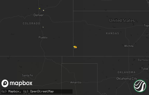
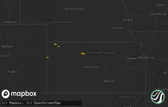
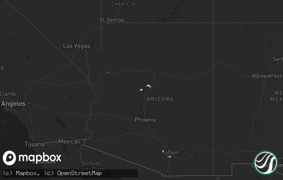
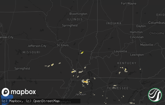
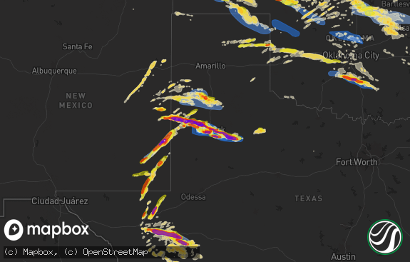
Hail Map in Massachusetts on August 17, 2018
The weather event in Massachusetts on August 17, 2018 includes Hail map. 26 states and 299 cities were impacted and suffered possible damage. The total estimated number of properties impacted is 0.

Hail
0
Estimated number of impacted properties by a 1.00" hail or larger0
Estimated number of impacted properties by a 1.75" hail or larger0
Estimated number of impacted properties by a 2.50" hail or largerStorm reports in Massachusetts
Massachusetts
| Date | Description |
|---|---|
| 08/17/20185:28 PM CDT | Tree down on carver street |
| 08/17/20183:10 PM CDT | Tree down on bridge street blocking half the road |
| 08/17/20183:03 PM CDT | Limb down on wires in the area of 82 main street |
| 08/17/20185:17 AM CDT | At 1016 PM EDT, a severe thunderstorm was located near Amenia, or 17 miles east of Rhinebeck, moving east at 45 mph. HAZARD...60 mph wind gusts and quarter size hail. SOURCE...Radar indicated. IMPACT...Hail damage to vehicles is expected. Expect wind damage to roofs, siding, and trees. This severe thunderstorm will be near... Millerton around 1020 PM EDT. Sharon around 1025 PM EDT. Falls Village around 1030 PM EDT. Canaan and Ashley Falls around 1035 PM EDT. Torrington and Norfolk around 1045 PM EDT. Winsted around 1050 PM EDT.Other locations impacted by this severe thunderstorm include SouthNorfolk, Sodom, Pachin Mills, Ancramdale, South Canaan, Mooreville,Wangum Village, Gomorrah, Kelly Corner and Mill Brook. |
| 08/17/20182:52 AM CDT | At 752 PM EDT, a severe thunderstorm was located over Chatham, moving east at 30 mph. HAZARD...60 mph wind gusts and quarter size hail. SOURCE...Radar indicated. IMPACT...Hail damage to vehicles is expected. Expect wind damage to roofs, siding, and trees. This severe thunderstorm will be near... Austerlitz around 805 PM EDT. Lenox around 825 PM EDT. Lee around 830 PM EDT. Pittsfield around 835 PM EDT. Becket around 845 PM EDT.Other locations impacted by this severe thunderstorm includeBarkerville, Glendale, Lenox Dale, The Center At Lenox, AdamsJunction, West Ghent, Stearnsville, Carey Corner, West Pittsfield andBuckleyville. |
| 08/17/20182:01 AM CDT | At 700 PM EDT, a severe thunderstorm was located near Royalston, or near Orange, moving northeast at 30 mph. HAZARD...60 mph wind gusts and penny size hail. SOURCE...Radar indicated. IMPACT...Expect damage to trees and power lines. Locations impacted include... Orange, Athol, Winchendon, Templeton, Ashburnham, Ashby, Northfield, Phillipston, Royalston and Warwick. |
| 08/17/20181:39 AM CDT | At 639 PM EDT, a severe thunderstorm was located near Sheffield, or 7 miles southeast of Great Barrington, moving east at 20 mph. HAZARD...60 mph wind gusts and quarter size hail. SOURCE...Radar indicated. IMPACT...Hail damage to vehicles is expected. Expect wind damage to roofs, siding, and trees. This severe thunderstorm will be near... Sandisfield around 700 PM EDT. Otis around 715 PM EDT. |
| 08/17/20181:19 AM CDT | At 619 PM EDT, a severe thunderstorm was located over Somerville, moving northeast at 15 mph. HAZARD...60 mph wind gusts and quarter size hail. SOURCE...Radar indicated. IMPACT...Hail damage to vehicles is possible. Expect damage to trees and power lines. Locations impacted include... Boston, Cambridge, Lynn, Somerville, Malden, Medford, Revere, Everett, Chelsea, Melrose, Saugus, Wakefield, Winthrop, Lynnfield and Nahant. |
| 08/16/201810:30 PM CDT | Tree down blocking road with no street given... Tree and wires down on new boston road... Tree down blocking brookfield road |
| 08/16/201810:15 PM CDT | Tree and wires down on lower part of town hillroad |
All States Impacted by Hail Map on August 17, 2018
Cities Impacted by Hail Map on August 17, 2018
- Woodrow, CO
- Dalhart, TX
- Mountain Park, OK
- Snyder, OK
- Frederick, OK
- Loveland, OK
- Hollister, OK
- Micanopy, FL
- Williston, FL
- Lockney, TX
- Parker, CO
- Newmanstown, PA
- Lebanon, PA
- Cove, AR
- Hatfield, AR
- Stoneham, CO
- Matador, TX
- Lititz, PA
- Manheim, PA
- Stinnett, TX
- Wiggins, CO
- Westcliffe, CO
- Louann, AR
- Smackover, AR
- Bear Lake, MI
- Saddle Brook, NJ
- Paramus, NJ
- Fair Lawn, NJ
- Elmwood Park, NJ
- Nowata, OK
- Vinita, OK
- Foster, OK
- Elmore City, OK
- Gould, OK
- Colorado Springs, CO
- Fountain, CO
- Rogers, NM
- Breaux Bridge, LA
- Chugwater, WY
- Rye, CO
- Colorado City, CO
- Pueblo, CO
- Pearl, MS
- Strasburg, CO
- Roggen, CO
- Bennett, CO
- Wheatland, WY
- Grenville, NM
- Kenton, OK
- Duke, OK
- Fort White, FL
- Branford, FL
- Weldona, CO
- Talala, OK
- Plainview, TX
- Petersburg, TX
- Gainesville, FL
- Rocky Ford, CO
- Nazareth, TX
- Ludowici, GA
- Greencastle, PA
- Texico, NM
- Friona, TX
- Bovina, TX
- Floydada, TX
- Sunray, TX
- Stratford, TX
- Yoder, WY
- Quanah, TX
- Chattanooga, OK
- Orchard, CO
- Kersey, CO
- Crosbyton, TX
- Roaring Springs, TX
- Manitou Springs, CO
- Cascade, CO
- Usaf Academy, CO
- Muleshoe, TX
- Crowell, TX
- Alex, OK
- Blanchard, OK
- Pauls Valley, OK
- Mercersburg, PA
- Chambersburg, PA
- Childress, TX
- Elk City, ID
- McGehee, AR
- Lewisville, AR
- Yoder, CO
- Lake City, FL
- Randlett, OK
- Wichita Falls, TX
- Elizabeth, CO
- Mount Jackson, VA
- Ashuelot, NH
- Winchester, NH
- Headrick, OK
- Morse, TX
- Cache, OK
- Upperstrasburg, PA
- Fort Loudon, PA
- Broken Bow, OK
- Chiefland, FL
- Agate, CO
- La Junta, CO
- Las Animas, CO
- Schaefferstown, PA
- Shartlesville, PA
- Richland, PA
- Stevens, PA
- Mohrsville, PA
- Denver, PA
- Bernville, PA
- Robesonia, PA
- Hamburg, PA
- Myerstown, PA
- Womelsdorf, PA
- La Veta, CO
- Fort Morgan, CO
- Buford, WY
- Granite Canon, WY
- Lodge, SC
- Chickasha, OK
- Amber, OK
- Pocasset, OK
- Dickens, TX
- Borger, TX
- Limon, CO
- Ralls, TX
- Westford, MA
- Acton, MA
- Littleton, MA
- Boxborough, MA
- Boise City, OK
- Arlington, CO
- Haswell, CO
- Eads, CO
- Cheyenne, WY
- Lindon, CO
- Dunnellon, FL
- Ramah, CO
- Thompsonville, MI
- Albin, WY
- Lagrange, WY
- Tulia, TX
- Mena, AR
- High Springs, FL
- Bard, NM
- Huntington, OR
- Lawton, OK
- Saint Thomas, PA
- Valhalla, NY
- Armonk, NY
- Thornwood, NY
- Stratford, OK
- Fargo, GA
- White Springs, FL
- Grahamsville, NY
- Bell, FL
- Frenchtown, NJ
- Stockton, NJ
- Model, CO
- Palatka, FL
- White Post, VA
- Front Royal, VA
- Wynnewood, OK
- Joseph, OR
- Guyton, GA
- Springfield, GA
- Washington, VA
- Throckmorton, TX
- Estill, SC
- Garnett, SC
- Walsenburg, CO
- Littlefield, AZ
- Stonewall, OK
- Tishomingo, OK
- Mccurtain, OK
- Roosevelt, OK
- Hobart, OK
- Goodman, MS
- Sallis, MS
- Tulsa, OK
- Indiahoma, OK
- Edinburg, VA
- Mill River, MA
- Great Barrington, MA
- Camden, AR
- Mathias, WV
- Paoli, OK
- Florissant, CO
- Palisades, NY
- Tarrytown, NY
- Northvale, NJ
- Piermont, NY
- Sparkill, NY
- Kiowa, CO
- Brooklet, GA
- Kaleva, MI
- Lost City, WV
- Eldorado, OK
- Olney, TX
- Fayette, MS
- Roxie, MS
- Byers, TX
- Paducah, TX
- Imnaha, OR
- Canon City, CO
- New Raymer, CO
- Flomot, TX
- Saint Augustine, FL
- Monument, CO
- Middleburg, FL
- Green Cove Springs, FL
- Shamrock, TX
- Roff, OK
- Brandon, MS
- Northampton, PA
- York, PA
- Timberville, VA
- Quicksburg, VA
- Hilliard, FL
- Folkston, GA
- Jemez Springs, NM
- Bentonville, VA
- Boone, CO
- Lafayette, LA
- Copemish, MI
- Arkadelphia, AR
- Sparkman, AR
- Charles Town, WV
- Shenandoah Junction, WV
- Kearneysville, WV
- Woodland Park, CO
- Ocean Gate, NJ
- Seaside Park, NJ
- Bayville, NJ
- Faxon, OK
- Walters, OK
- Keota, OK
- Asbury, NJ
- Bloomsbury, NJ
- Stigler, OK
- Effingham, SC
- Eupora, MS
- Peyton, CO
- Spiro, OK
- Bedford, NY
- Marion, NC
- Reevesville, SC
- Saint George, SC
- Altus, OK
- Tipton, OK
- Hudson, NY
- Ghent, NY
- Hollandale, MS
- Pittstown, NJ
- Florence, SC
- Palmer Lake, CO
- Deming, NM
- Ellisville, MS
- Wind Gap, PA
- Pen Argyl, PA
- Mosquero, NM
- Cameron, OK
- Pocola, OK
- Big Cove Tannery, PA
- Keenesburg, CO
- Divide, CO
- Pampa, TX
- Twin Falls, ID
- Castle Rock, CO
- Bowman, SC
- Canton, MS
- Jacksonville, FL
- Blackshear, GA
- Waycross, GA
- Vernon, VT
- Hinsdale, NH
- Swanzey, NH
- Dermott, AR
- Shady Point, OK
- Valatie, NY
- Kinderhook, NY
- Chatham, NY
- Stamford, CT
- Pound Ridge, NY
- Pineland, SC
- Islandton, SC
- Williams, SC
- Ruffin, SC
- Smoaks, SC
- Bokoshe, OK
- Glen Rock, NJ
- Township Of Washington, NJ
- Emerson, NJ
- Westwood, NJ
- Ridgewood, NJ
- Paterson, NJ

