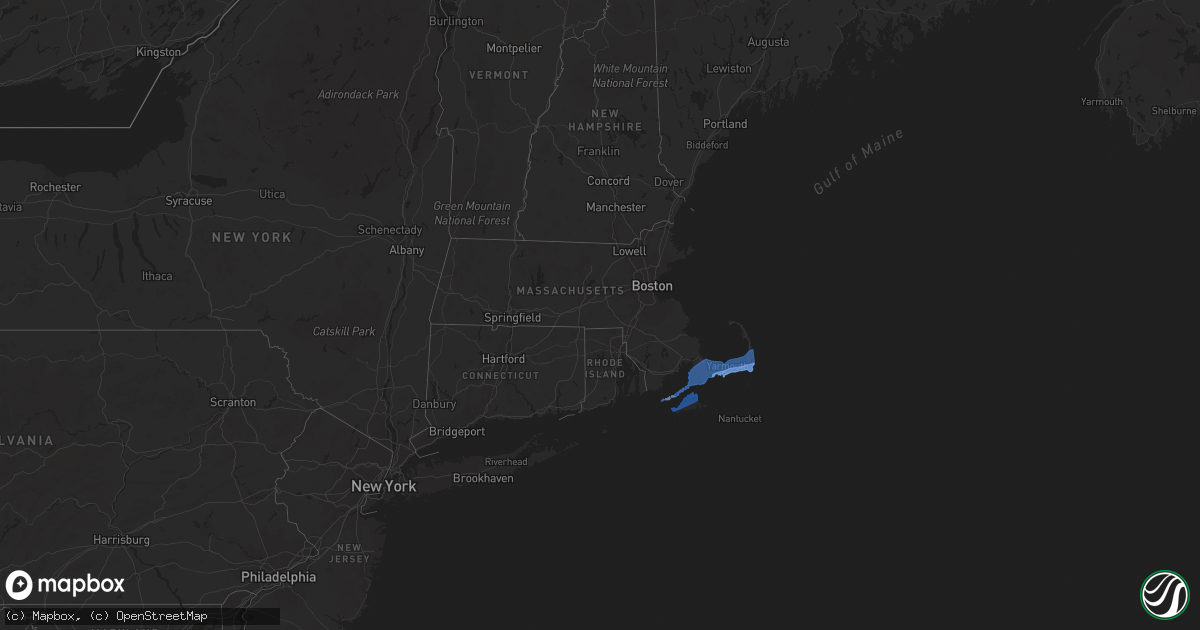
Hail Map in Massachusetts on July 23, 2019
Get this storm
July 23 map
$229
one time, instant access
Download today. No call, no setup
Keep the $229
Bought the map and want the full workflow? Apply the entire $229 to a subscription within 7 days. None of it is wasted.
Every map, not just this one
This buys you this map. Subscription and you get every map we run, in the markets you choose from a few cities to whole states to nationwide. Plus real-time alerts the moment a storm fires.
Contact data
Name, contact info, occupancy, even credit band for addresses in the footprint. You go from where it hit to who to call.
Become the source they trust
Unlimited branding weather history reports on demand. You already have the documented answer ready for the property owner, and you are the one who showed up with it.
Property data and RoofTrace estimates
Pull up any address you have got, its value and the exact code rules for that jurisdiction, straight from One Click Code. Then RoofTrace estimates the squares, pitch, and roof value, priced the way you price.
Storm reports in Massachusetts
Massachusetts
| Date | Description |
|---|---|
| 07/23/201911:30 AM CDT | Multiple trees down. |
| 07/23/201911:30 AM CDT | Trees down with one blocking route 28 southbound. Wires down on main street. Large tree down on quanset road by ridgewood motel. Wires down on karen lane. Tree down on |
| 07/23/201911:24 AM CDT | Several dozen trees down on route 28. |
| 07/23/201911:20 AM CDT | 2 utility poles leaning on morris island causeway with 1 snapped in half and wires hanging low to the ground. |
| 07/23/201911:19 AM CDT | A local report indicates 84 MPH wind near CHATHAM |
| 07/23/201911:15 AM CDT | Trees... Utility poles and wires down on south street at sisson road. Wires down on route 137 at route 39. Tree down on route 39. |
| 07/23/201911:15 AM CDT | A local report indicates 85 MPH wind near CHATHAM |
| 07/23/201911:14 AM CDT | Large tree down blocking stony brook road. Tree and power lines down on run hill road. |
| 07/23/201911:10 AM CDT | Roof blown off a section of the cape sands inn. Confirmed tornado by radar |
| 07/23/201911:10 AM CDT | Tree and wires down on route 28 at pond street... Route 28 at geneva street... Sharon way... Uncle ephriams way... Pine street... Highland avenue... Kelly road and star |
| 07/23/201911:10 AM CDT | Same cell that produced the barnstable-yarmouth tornado caused another tornado in harwich that was on the ground from 1210 pm to 1215 pm. Ef1 ranking with max wind gust |
| 07/23/201911:06 AM CDT | Trees and wires down on loring avenue. Wires down on corporation road. Tree... Wires and utility pole down on pleasant street. Wires down on car on depot street at vest |
| 07/23/201911:05 AM CDT | Tree down on wires on scudder road. Several large trees and many large branches down on wianno avenue. 2 small boats flipped over in west bay. |
| 07/23/201911:04 AM CDT | Tree down on a car. Wires down. |
| 07/23/201911:04 AM CDT | A local report indicates 66 MPH wind near CHAPIN |
| 07/23/201911:01 AM CDT | Tree down on gosnold street at old colony road. |
| 07/23/201911:00 AM CDT | A brief... Narrow tornado touched down in west yarmouth at the same time as another tornado was on the ground just to its north. This tornado was only 50 yards wide and |
| 07/23/201911:00 AM CDT | Roof blown off a section of cape sands inn. |
| 07/23/201910:57 AM CDT | Waterspout moved onshore just west of kalmus in southeast barnstable. 91 mph gust was recorded. Ef1 tornado with max winds of 110 mph moved ne across yarmouth and lifte |
| 07/23/201910:48 AM CDT | Tree down on wires on barnstable road. Large branch down in front of the simmons homestead on pitchers way blocking one lane. Wires down on scudder avenue. Tree down bl |
| 07/23/201910:40 AM CDT | Tree down across driveway on alma road. Tree and wires down on car in driveway on cordwood road. Tree across the road on hunt circle. |
| 07/23/201910:38 AM CDT | Popponesset |
| 07/23/201910:30 AM CDT | Tree and wires down on california avenue at hudson avenue. |
| 07/23/201910:25 AM CDT | Two trees down on lamberts cove road. One tree and wires down on state road. |
| 07/23/20195:45 AM CDT | At 1044 AM EDT, a severe thunderstorm was located 10 miles west of Aquinnah, moving northeast at 35 mph. HAZARD...60 mph wind gusts. SOURCE...Radar indicated. IMPACT...Expect damage to trees and power lines. Locations impacted include... Falmouth, Oak Bluffs, Edgartown, Tisbury, Aquinnah, West Tisbury, Chilmark and Gosnold. |
All States Impacted by Hail Map on July 23, 2019
Cities Impacted by Hail Map on July 23, 2019
- Havre, MT
- South Mills, NC
- Libby, MT
- Florissant, CO
- Divide, CO
- Hill City, SD
- Saint George, SC
- Custer, SD
- Kaycee, WY
- Buffalo, WY
- Thompson Falls, MT
- Trout Creek, MT
- Lillian, AL
- Roosevelt, WA
- Red Lodge, MT
- Elizabeth City, NC
- Cottageville, SC
- Box Elder, MT
- Kila, MT
- Marion, MT
- Bickleton, WA
- Usk, WA
- Alger, MI
- Shawboro, NC
- Elberta, AL
- Wilson, NC
- Lucama, NC
- Cary, NC
- Holly Springs, NC
- Apex, NC
- Hialeah, FL
- Miami, FL
- Raleigh, NC
- Early Branch, SC
- Varnville, SC
- Yemassee, SC
- Daytona Beach, FL
- Sims, NC
- Kenly, NC
- Middlesex, NC
- Ormond Beach, FL
- Edenton, NC
- Estes Park, CO
- Hertford, NC
- Nichols, SC
- Garner, NC
- Thermal, CA
- Goldston, NC
- Bear Creek, NC
- Show Low, AZ
- Clayton, WA
- Bladenboro, NC
- Evergreen, NC
- Greenville, NC
- Virginia Beach, VA
- Whitefish, MT
- Robertsdale, AL
- Macclesfield, NC
- Tarboro, NC
- Madera, CA
- Globe, AZ
- Cerro Gordo, NC
- Chadbourn, NC
- Camden, NC
- Chilmark, MA
- Vineyard Haven, MA
- Edgartown, MA
- Oak Bluffs, MA
- West Tisbury, MA
- Cuttyhunk, MA
- Eastham, MA
- Chatham, MA
- West Harwich, MA
- Forestdale, MA
- South Chatham, MA
- Hyannis, MA
- South Dennis, MA
- North Falmouth, MA
- Cataumet, MA
- North Chatham, MA
- Barnstable, MA
- Osterville, MA
- Buzzards Bay, MA
- Cummaquid, MA
- Falmouth, MA
- West Yarmouth, MA
- South Yarmouth, MA
- Pocasset, MA
- West Barnstable, MA
- Marstons Mills, MA
- East Sandwich, MA
- Harwich, MA
- Brewster, MA
- West Dennis, MA
- Cotuit, MA
- Yarmouth Port, MA
- Mashpee, MA
- Dennis, MA
- Dennis Port, MA
- Orleans, MA
- Woods Hole, MA
- Centerville, MA
- Sandwich, MA
- Harwich Port, MA
- East Falmouth, MA
- Sanford, NC
- Fuquay Varina, NC
- Willow Spring, NC
- New Hill, NC
- Clayton, NC
- Moncure, NC


