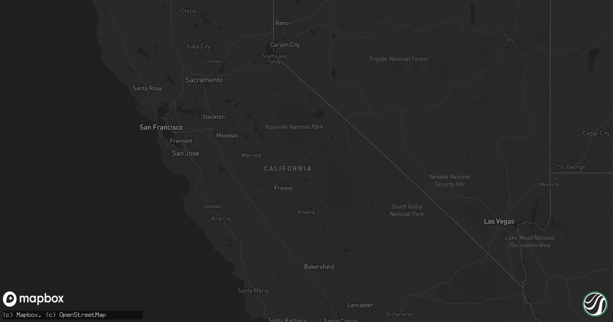
Hail Map in California on July 23, 2019
Get this storm
July 23 map
$229
one time, instant access
Download today. No call, no setup
Keep the $229
Bought the map and want the full workflow? Apply the entire $229 to a subscription within 7 days. None of it is wasted.
Every map, not just this one
This buys you this map. Subscription and you get every map we run, in the markets you choose from a few cities to whole states to nationwide. Plus real-time alerts the moment a storm fires.
Contact data
Name, contact info, occupancy, even credit band for addresses in the footprint. You go from where it hit to who to call.
Become the source they trust
Unlimited branding weather history reports on demand. You already have the documented answer ready for the property owner, and you are the one who showed up with it.
Property data and RoofTrace estimates
Pull up any address you have got, its value and the exact code rules for that jurisdiction, straight from One Click Code. Then RoofTrace estimates the squares, pitch, and roof value, priced the way you price.
Storm reports in California
California
| Date | Description |
|---|---|
| 07/23/201912:03 AM CDT | At 503 PM PDT, a severe thunderstorm was located over Thermal, or 9 miles south of Coachella, moving east at 15 mph. HAZARD...60 mph wind gusts. SOURCE...Radar indicated. IMPACT...Expect damage to roofs, siding, and trees. Locations impacted include... Coachella, Thermal, Mecca and Santa Rosa Mountain. |
| 07/22/201910:56 PM CDT | At 355 PM PDT, a severe thunderstorm was located over Hwy S22 Between Ranchita And Borrego Springs, or 7 miles west of Borrego Springs, and is nearly stationary. HAZARD...60 mph wind gusts and quarter size hail. SOURCE...Radar indicated. IMPACT...Hail damage to vehicles is expected. Expect wind damage to roofs, siding, and trees. Locations impacted include... Borrego Springs, Borrego Palm Canyon, Hwy S22 Between Ranchita And Borrego Springs, Ranchita, Hwy S2 Between Hwy 79 And Hwy 78 and Los Coyotes Indian Reservation. |
| 07/22/20197:33 PM CDT | Power pole down. |
| 07/22/20197:29 PM CDT | Large tree branch blocking the road at 60th avenue and van buren street. |
| 07/22/20197:27 PM CDT | Power pole down. |
| 07/22/20197:24 PM CDT | Tree fell on top of vehicle. Man was inside the vehicle and is now pinned inside the vehicle. |
| 07/22/20197:21 PM CDT | Tree in roadway. |
| 07/22/20197:13 PM CDT | Power pole down... Blocking roadway. |
| 07/22/20197:09 PM CDT | Power pole leaning across roadway. |
| 07/22/20197:08 PM CDT | Power pole down. |
All States Impacted by Hail Map on July 23, 2019
Cities Impacted by Hail Map on July 23, 2019
- Havre, MT
- South Mills, NC
- Libby, MT
- Florissant, CO
- Divide, CO
- Hill City, SD
- Saint George, SC
- Custer, SD
- Kaycee, WY
- Buffalo, WY
- Thompson Falls, MT
- Trout Creek, MT
- Lillian, AL
- Roosevelt, WA
- Red Lodge, MT
- Elizabeth City, NC
- Cottageville, SC
- Box Elder, MT
- Kila, MT
- Marion, MT
- Bickleton, WA
- Usk, WA
- Alger, MI
- Shawboro, NC
- Elberta, AL
- Wilson, NC
- Lucama, NC
- Cary, NC
- Holly Springs, NC
- Apex, NC
- Hialeah, FL
- Miami, FL
- Raleigh, NC
- Early Branch, SC
- Varnville, SC
- Yemassee, SC
- Daytona Beach, FL
- Sims, NC
- Kenly, NC
- Middlesex, NC
- Ormond Beach, FL
- Edenton, NC
- Estes Park, CO
- Hertford, NC
- Nichols, SC
- Garner, NC
- Thermal, CA
- Goldston, NC
- Bear Creek, NC
- Show Low, AZ
- Clayton, WA
- Bladenboro, NC
- Evergreen, NC
- Greenville, NC
- Virginia Beach, VA
- Whitefish, MT
- Robertsdale, AL
- Macclesfield, NC
- Tarboro, NC
- Madera, CA
- Globe, AZ
- Cerro Gordo, NC
- Chadbourn, NC
- Camden, NC
- Chilmark, MA
- Vineyard Haven, MA
- Edgartown, MA
- Oak Bluffs, MA
- West Tisbury, MA
- Cuttyhunk, MA
- Eastham, MA
- Chatham, MA
- West Harwich, MA
- Forestdale, MA
- South Chatham, MA
- Hyannis, MA
- South Dennis, MA
- North Falmouth, MA
- Cataumet, MA
- North Chatham, MA
- Barnstable, MA
- Osterville, MA
- Buzzards Bay, MA
- Cummaquid, MA
- Falmouth, MA
- West Yarmouth, MA
- South Yarmouth, MA
- Pocasset, MA
- West Barnstable, MA
- Marstons Mills, MA
- East Sandwich, MA
- Harwich, MA
- Brewster, MA
- West Dennis, MA
- Cotuit, MA
- Yarmouth Port, MA
- Mashpee, MA
- Dennis, MA
- Dennis Port, MA
- Orleans, MA
- Woods Hole, MA
- Centerville, MA
- Sandwich, MA
- Harwich Port, MA
- East Falmouth, MA
- Sanford, NC
- Fuquay Varina, NC
- Willow Spring, NC
- New Hill, NC
- Clayton, NC
- Moncure, NC


