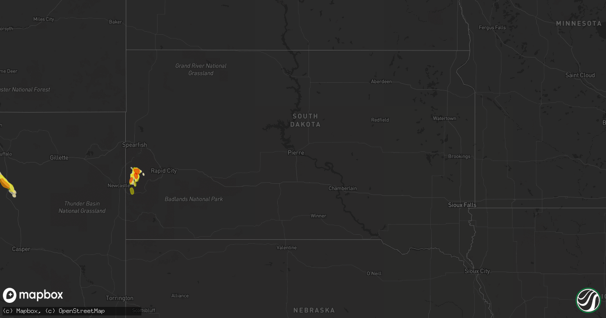
Hail Map in South Dakota on July 23, 2019
Get this storm
July 23 map
$229
one time, instant access
Download today. No call, no setup
Keep the $229
Bought the map and want the full workflow? Apply the entire $229 to a subscription within 7 days. None of it is wasted.
Every map, not just this one
This buys you this map. Subscription and you get every map we run, in the markets you choose from a few cities to whole states to nationwide. Plus real-time alerts the moment a storm fires.
Contact data
Name, contact info, occupancy, even credit band for addresses in the footprint. You go from where it hit to who to call.
Become the source they trust
Unlimited branding weather history reports on demand. You already have the documented answer ready for the property owner, and you are the one who showed up with it.
Property data and RoofTrace estimates
Pull up any address you have got, its value and the exact code rules for that jurisdiction, straight from One Click Code. Then RoofTrace estimates the squares, pitch, and roof value, priced the way you price.
Storm reports in South Dakota
South Dakota
| Date | Description |
|---|---|
| 07/23/20195:59 PM CDT | A local report indicates 1.50 inch wind near 2 SW ROCHFORD |
| 07/23/20195:48 PM CDT | A local report indicates 1.50 inch wind near 2 SW ROCHFORD |
| 07/23/20195:41 PM CDT | A local report indicates 1.50 inch wind near 2 SW ROCHFORD |
| 07/23/20195:00 PM CDT | A local report indicates 1.75 inch wind near 3 SE DEERFIELD |
| 07/23/201912:43 AM CDT | At 542 PM MDT, a severe thunderstorm was located 3 miles southeast of Moon, or 13 miles east of Newcastle, moving south at 15 mph. HAZARD...Golf ball size hail. SOURCE...Radar indicated. IMPACT...People and animals outdoors will be injured. Expect damage to roofs, siding, windows, and vehicles. Locations impacted include... Moon, Jewel Cave National Monument and Elk Mountain Lookout. |
| 07/22/201911:50 PM CDT | At 450 PM MDT, a severe thunderstorm was located near Flag Mountain, or 15 miles northwest of Hill City, and is nearly stationary. HAZARD...Ping pong ball size hail. SOURCE...Trained weather spotters. At 448 PM MDT ping pong ball size hail was reported 2 miles southwest of Rochford. IMPACT...People and animals outdoors will be injured. Expect damage to roofs, siding, windows, and vehicles. Locations impacted include... Rochford, Flag Mountain, Mystic, Deerfield, Deerfield Reservoir, Crooks Tower and Black Fox Campground. |
| 07/22/201911:25 PM CDT | At 425 PM MDT, a severe thunderstorm was located over Flag Mountain, or 17 miles northwest of Hill City, and is nearly stationary. HAZARD...Ping pong ball size hail. SOURCE...Radar indicated. IMPACT...People and animals outdoors will be injured. Expect damage to roofs, siding, windows, and vehicles. Locations impacted include... Rochford, Flag Mountain, Deerfield and Deerfield Reservoir. |
| 07/22/201910:57 PM CDT | At 356 PM MDT, a severe thunderstorm was located over Deerfield, or 14 miles northwest of Hill City, moving south at 15 mph. HAZARD...Quarter size hail. SOURCE...Radar indicated. IMPACT...Damage to vehicles is expected. Locations impacted include... Flag Mountain, Deerfield, Deerfield Reservoir, Medicine Mountain and Bear Mountain Lookout. |
All States Impacted by Hail Map on July 23, 2019
Cities Impacted by Hail Map on July 23, 2019
- Havre, MT
- South Mills, NC
- Libby, MT
- Florissant, CO
- Divide, CO
- Hill City, SD
- Saint George, SC
- Custer, SD
- Kaycee, WY
- Buffalo, WY
- Thompson Falls, MT
- Trout Creek, MT
- Lillian, AL
- Roosevelt, WA
- Red Lodge, MT
- Elizabeth City, NC
- Cottageville, SC
- Box Elder, MT
- Kila, MT
- Marion, MT
- Bickleton, WA
- Usk, WA
- Alger, MI
- Shawboro, NC
- Elberta, AL
- Wilson, NC
- Lucama, NC
- Cary, NC
- Holly Springs, NC
- Apex, NC
- Hialeah, FL
- Miami, FL
- Raleigh, NC
- Early Branch, SC
- Varnville, SC
- Yemassee, SC
- Daytona Beach, FL
- Sims, NC
- Kenly, NC
- Middlesex, NC
- Ormond Beach, FL
- Edenton, NC
- Estes Park, CO
- Hertford, NC
- Nichols, SC
- Garner, NC
- Thermal, CA
- Goldston, NC
- Bear Creek, NC
- Show Low, AZ
- Clayton, WA
- Bladenboro, NC
- Evergreen, NC
- Greenville, NC
- Virginia Beach, VA
- Whitefish, MT
- Robertsdale, AL
- Macclesfield, NC
- Tarboro, NC
- Madera, CA
- Globe, AZ
- Cerro Gordo, NC
- Chadbourn, NC
- Camden, NC
- Chilmark, MA
- Vineyard Haven, MA
- Edgartown, MA
- Oak Bluffs, MA
- West Tisbury, MA
- Cuttyhunk, MA
- Eastham, MA
- Chatham, MA
- West Harwich, MA
- Forestdale, MA
- South Chatham, MA
- Hyannis, MA
- South Dennis, MA
- North Falmouth, MA
- Cataumet, MA
- North Chatham, MA
- Barnstable, MA
- Osterville, MA
- Buzzards Bay, MA
- Cummaquid, MA
- Falmouth, MA
- West Yarmouth, MA
- South Yarmouth, MA
- Pocasset, MA
- West Barnstable, MA
- Marstons Mills, MA
- East Sandwich, MA
- Harwich, MA
- Brewster, MA
- West Dennis, MA
- Cotuit, MA
- Yarmouth Port, MA
- Mashpee, MA
- Dennis, MA
- Dennis Port, MA
- Orleans, MA
- Woods Hole, MA
- Centerville, MA
- Sandwich, MA
- Harwich Port, MA
- East Falmouth, MA
- Sanford, NC
- Fuquay Varina, NC
- Willow Spring, NC
- New Hill, NC
- Clayton, NC
- Moncure, NC


