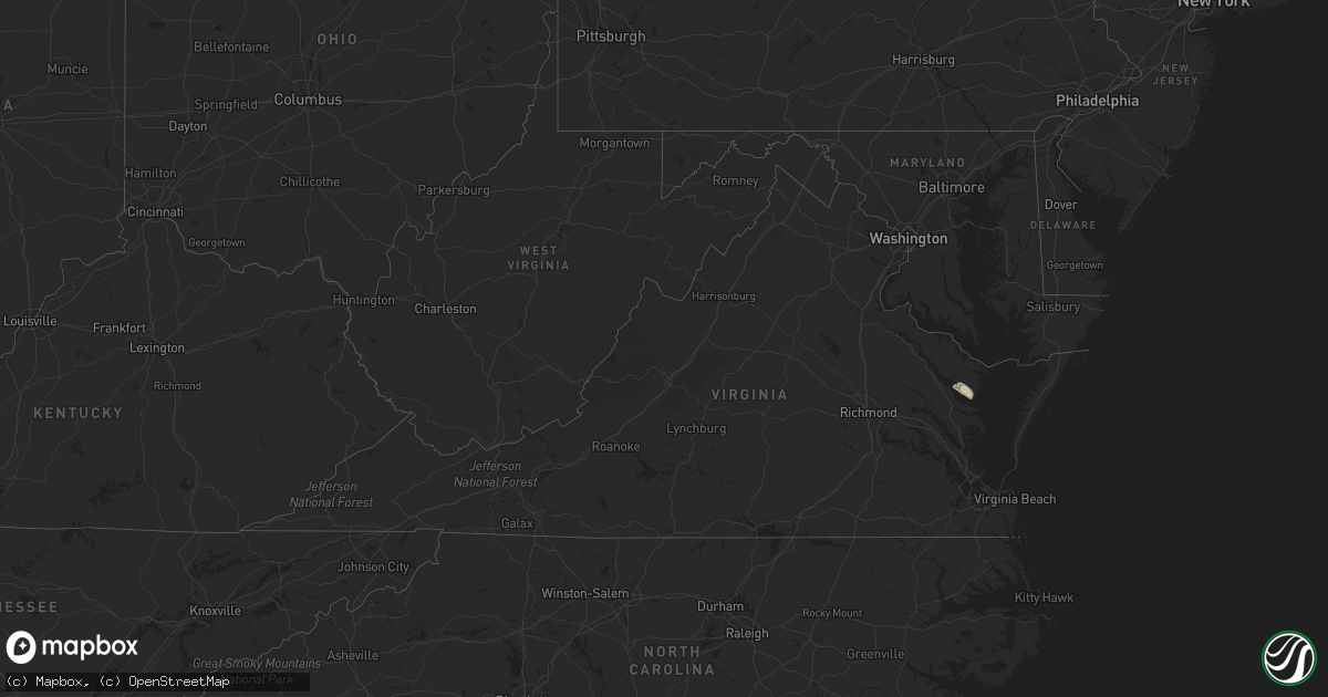
Hail Map in Virginia on October 5, 2021
Get this storm
October 5 map
$229
one time, instant access
Download today. No call, no setup
Keep the $229
Bought the map and want the full workflow? Apply the entire $229 to a subscription within 7 days. None of it is wasted.
Every map, not just this one
This buys you this map. Subscription and you get every map we run, in the markets you choose from a few cities to whole states to nationwide. Plus real-time alerts the moment a storm fires.
Contact data
Name, contact info, occupancy, even credit band for addresses in the footprint. You go from where it hit to who to call.
Become the source they trust
Unlimited branding weather history reports on demand. You already have the documented answer ready for the property owner, and you are the one who showed up with it.
Property data and RoofTrace estimates
Pull up any address you have got, its value and the exact code rules for that jurisdiction, straight from One Click Code. Then RoofTrace estimates the squares, pitch, and roof value, priced the way you price.
Storm reports in Virginia
Virginia
| Date | Description |
|---|---|
| 10/05/20216:45 PM CDT | Power lines downed along mosquito beach ln. |
| 10/05/20212:37 AM CDT | At 736 PM EDT, severe thunderstorms were located along a line extending from near Kilmarnock to near White Stone to Saluda, moving southeast at 15 mph. HAZARD...60 mph wind gusts and nickel size hail. SOURCE...Radar indicated. IMPACT...Expect damage to trees and powerlines. Severe thunderstorms will be near... Kilmarnock and White Stone around 740 PM EDT. Deltaville around 810 PM EDT. Hartfield, Gwynn and Blakes around 815 PM EDT.Other locations impacted by these severe thunderstorms includeByrdton, Regina, Mollusk, Senora, Brook Vale, Harmony Village,Bertrand, Grafton, Amburg and Millenbeck. |
| 10/04/202111:42 PM CDT | At 441 PM EDT, a severe thunderstorm was located near Pocomoke City, moving southeast at 15 mph. HAZARD...60 mph wind gusts and quarter size hail. SOURCE...Radar indicated. IMPACT...Minor damage to vehicles is possible. Expect wind damage to trees and powerlines. This severe thunderstorm will remain over mainly rural areas of southwestern Worcester and northern Accomack Counties, including the following locations... Horntown, Goodwill, Greenbackville, Beaver Dam, Girdletree, Stockton and New Church. |
All States Impacted by Hail Map on October 5, 2021
Cities Impacted by Hail Map on October 5, 2021
- Winslow, AZ
- Superior, AZ
- Congress, AZ
- Watson, AR
- Willcox, AZ
- Marianna, AR
- Clarksdale, MS
- Crawford, MS
- Brooksville, MS
- Peridot, AZ
- Helena, AR
- Coahoma, MS
- Louisville, MS
- Carthage, MS
- Wickenburg, AZ
- Carrollton, MS
- Greenwood, MS
- Holcomb, MS
- Young, AZ
- Globe, AZ
- De Witt, AR
- Gillett, AR
- McCool, MS
- Noxapater, MS
- Payson, AZ
- Roosevelt, AZ
- Gila Bend, AZ
- Lexa, AR
- Buckeye, AZ
- Hollandale, MS
- Tunica, MS
- San Simon, AZ
- Cochise, AZ
- Steens, MS
- Starkville, MS
- Sturgis, MS
- Philadelphia, MS
- Millport, AL
- Columbus, MS
- Caledonia, MS
- Sulligent, AL
- Hampton, AR
- Junction City, AR
- Kosciusko, MS
- Crystal Springs, MS
- Hazlehurst, MS
- Belzoni, MS
- Smithdale, MS
- Concho, AZ
- Forest Lakes, AZ
- Rosedale, MS
- Moro, AR
- Aberdeen, MS
- West Point, MS
- Greenville, MS
- Montrose, AR
- Laveen, AZ
- Fountain Hill, AR
- Hermitage, AR
- Tchula, MS
- Dundee, MS
- Huttig, AR
- Phoenix, AZ
- Crossett, AR
- Macon, MS
- Lakeside, AZ
- Show Low, AZ
- Fort Mcdowell, AZ
- Tonto Basin, AZ
- Lancaster, VA
- Irvington, VA
- White Stone, VA
- Weems, VA
- Tonopah, AZ
- Clarendon, AR
- Choudrant, LA
- Downsville, LA
- Bowie, AZ
- Vernon, AL
- Strong, AR
- Stuttgart, AR
- Pinetop, AZ
- Preston, MS
- Gould, AR
- Coffeeville, MS
- El Dorado, AR
- Calhoun City, MS
- Snowflake, AZ
- Dumas, AR
- Grady, AR
- Taylor, AZ
- Lake Village, AR
- Heber, AZ
- Salome, AZ
- Meadview, AZ
- Overton, NV
- Kingman, AZ
- Dolan Springs, AZ
- Chloride, AZ
- Golden Valley, AZ
- Bullhead City, AZ
- Yucca, AZ
- Willow Beach, AZ
- Winkelman, AZ
- Jackson, MS


