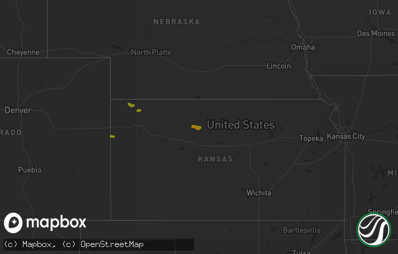
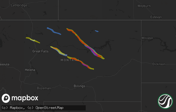
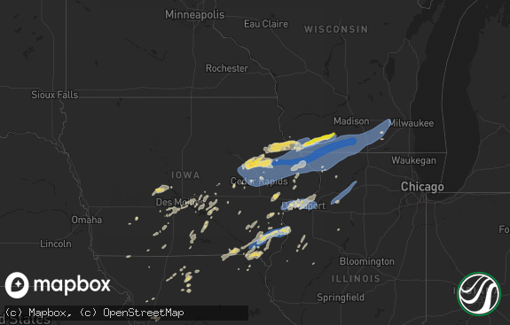
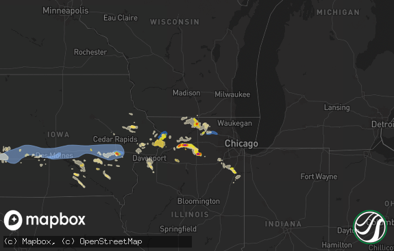
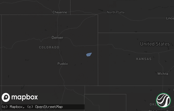
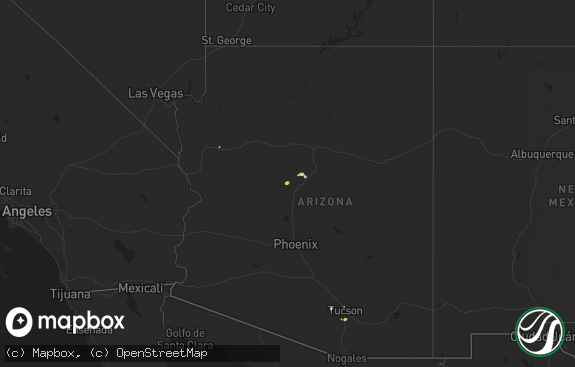
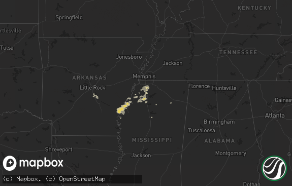
Hail Map in Maine on August 3, 2019
The weather event in Maine on August 3, 2019 includes Hail and Wind maps. 23 states and 272 cities were impacted and suffered possible damage. The total estimated number of properties impacted is 0.

Hail
Wind
0
Estimated number of impacted properties by a 1.00" hail or larger0
Estimated number of impacted properties by a 1.75" hail or larger0
Estimated number of impacted properties by a 2.50" hail or largerStorm reports in Maine
Maine
| Date | Description |
|---|---|
| 08/03/20195:24 PM CDT | Trees and telephone poles down in vicinity of lower guinea rd... Via facebook |
| 08/03/20195:00 PM CDT | Trees and telephone poles down in vicinity of lower guinea rd... Via facebook |
| 08/03/201912:28 AM CDT | At 527 PM EDT, a severe thunderstorm was located near Berwick, or near Rochester, moving east at 30 mph. HAZARD...60 mph wind gusts and quarter size hail. SOURCE...Radar indicated. IMPACT...Hail damage to vehicles is expected. Expect wind damage to roofs, siding, and trees. Locations impacted include... Rochester, Sanford, Dover, Somersworth, Kennebunk, Barrington, Berwick, Farmington, Lebanon, South Berwick, York, Wells, Eliot, Strafford, Ogunquit, Rollinsford, Middleton, North Berwick, Milton and New Durham.This includes Interstate 95 between mile markers 6 and 22. This also includes... York Beach, Ogunquit Beach, and Wells Beach. |
| 08/02/201910:46 PM CDT | At 346 PM EDT, a severe thunderstorm was located near Caribou, moving east at 35 mph. HAZARD...60 mph wind gusts and quarter size hail. SOURCE...Radar indicated. IMPACT...Minor hail damage to vehicles is possible. Expect wind damage to trees and power lines. Locations impacted include... Presque Isle, Caribou, Fort Fairfield, Limestone, Washburn and Woodland. |
All States Impacted by Hail Map on August 3, 2019
Cities Impacted by Hail Map on August 3, 2019
- Bowman, ND
- Makinen, MN
- Lance Creek, WY
- Ozark, AL
- Newton, AL
- Duluth, MN
- Canyon, MN
- Upton, WY
- Newcastle, WY
- Menasha, WI
- Brownfield, TX
- Saginaw, MN
- Palermo, ND
- Stanley, ND
- Killdeer, ND
- Halliday, ND
- Plaza, ND
- Berthold, ND
- Des Lacs, ND
- Powers Lake, ND
- Hammond, MT
- Bigfork, MN
- Reva, SD
- Kerrick, MN
- Moose Lake, MN
- Barnum, MN
- Lagrange, WY
- Lebanon, ME
- Reeder, ND
- Scranton, ND
- Ralph, SD
- Lodgepole, SD
- Tombstone, AZ
- Beulah, ND
- Brimson, MN
- Wheatland, WY
- Ludlow, SD
- Camp Douglas, WI
- Athol, MA
- Pulaski, WI
- Belle Fourche, SD
- Muleshoe, TX
- Ravena, NY
- Hannacroix, NY
- Coeymans Hollow, NY
- Weston, WY
- Athens, AL
- Vernon, AL
- Rhame, ND
- Prairie City, SD
- Lancaster, PA
- Abernathy, TX
- Amherst, TX
- Willcox, AZ
- Fort Rucker, AL
- Athelstane, WI
- Buffalo, SD
- Wilson, TX
- Post, TX
- Chugwater, WY
- Flaxton, ND
- Bowbells, ND
- Verbena, AL
- Marbury, AL
- Tucson, AZ
- Evart, MI
- Gordon, WI
- Friona, TX
- Hardin, MT
- Oconto Falls, WI
- Abrams, WI
- Amidon, ND
- New England, ND
- Volborg, MT
- Stratford, OK
- Somers, NY
- Purdys, NY
- Carmel, NY
- Mahopac, NY
- Shallowater, TX
- Boyes, MT
- Biddle, MT
- Capitol, MT
- Medora, ND
- Lena, WI
- Minneapolis, MN
- Salt Lake City, UT
- Crivitz, WI
- Colfax, WI
- Elk Mound, WI
- Manville, WY
- Moorcroft, WY
- Rhinebeck, NY
- Selkirk, NY
- Gillett, WI
- Donnybrook, ND
- Kenmare, ND
- Berry, AL
- Askov, MN
- Mandaree, ND
- Cotton, MN
- Wetumpka, AL
- Winter, WI
- Nashville, TN
- Franklin, TN
- Brentwood, TN
- Red Hook, NY
- Goldens Bridge, NY
- North Salem, NY
- Brewster, NY
- Holmes, NY
- Croton Falls, NY
- Patterson, NY
- Granby, MA
- Belchertown, MA
- Amherst, MA
- Aladdin, WY
- Chippewa Lake, MI
- Big Rapids, MI
- Hersey, MI
- Rodney, MI
- Hohenwald, TN
- Ropesville, TX
- Meadow, TX
- Levelland, TX
- Solon Springs, WI
- Rogers, NM
- Cloquet, MN
- Carlton, MN
- Clinton Corners, NY
- Berlin, WI
- Green Lake, WI
- Charleston, MO
- Fredonia, WI
- Saukville, WI
- Crane Hill, AL
- Cullman, AL
- Logan, AL
- Surprise, NY
- Greenville, NY
- Earlton, NY
- Midland City, AL
- Bisbee, AZ
- Bruno, MN
- Portales, NM
- Acra, NY
- Lignite, ND
- Broadus, MT
- Cornell, WI
- Boyd, WI
- Clarksville, TN
- Payson, AZ
- Seymour, WI
- Brillion, WI
- Ada, OK
- Asher, OK
- Konawa, OK
- Bardwell, KY
- Sandisfield, MA
- Monterey, MA
- Farwell, TX
- Palenville, NY
- Hadley, MA
- Heflin, AL
- Carbon Hill, AL
- West Coxsackie, NY
- Holcombe, WI
- Sundown, TX
- Douglas, WY
- Garrett, WY
- Lurgan, PA
- Newburg, PA
- Shippensburg, PA
- Orrstown, PA
- Southside, TN
- Greenleaf, WI
- Boulder Junction, WI
- Middleburgh, NY
- Rensselaerville, NY
- Preston Hollow, NY
- Orange, MA
- New Salem, MA
- San Simon, AZ
- Lubbock, TX
- Clanton, AL
- Billingsley, AL
- Ira, TX
- Snyder, TX
- Benson, AZ
- Butternut, WI
- Deerfield, WI
- Cambridge, WI
- Stephenson, MI
- Daggett, MI
- Sonoita, AZ
- Manitowish Waters, WI
- Autaugaville, AL
- Milton, NH
- Rochester, NH
- Sandy, UT
- Alpine, UT
- Marshall, WI
- Defuniak Springs, FL
- Menomonie, WI
- Crown King, AZ
- Round Top, NY
- Collinwood, TN
- Tuskegee Institute, AL
- Tuskegee, AL
- Osage, WY
- Hayward, WI
- Cerulean, KY
- West Bend, WI
- Chetek, WI
- Baker, FL
- Crestview, FL
- Gresham, WI
- Dallas, WI
- Barron, WI
- Sylacauga, AL
- Jemez Springs, NM
- Eagle River, WI
- Rhinelander, WI
- Three Lakes, WI
- Iron River, MI
- Texico, NM
- Savannah, TN
- Hulett, WY
- Hatfield, MA
- South Hadley, MA
- Sherwood, ND
- Alcove, NY
- South Bethlehem, NY
- Coxsackie, NY
- Climax, NY
- Northampton, MA
- Clifton, TN
- Patagonia, AZ
- Notasulga, AL
- Princeton, WI
- Rockford, AL
- Wallace, MI
- New Town, ND
- Bath Springs, TN
- Oakman, AL
- Kaukauna, WI
- Carpenter, WY
- Culleoka, TN
- Oconto, WI
- Bitely, MI
- Saint Louis, MI
- Durham, NY
- Kevil, KY
- La Center, KY
- Forest Junction, WI
- Rio Rico, AZ
- Blandford, MA
- Granville, MA
- Hettinger, ND
- Schodack Landing, NY
- Delmar, NY
- Albany, NY
- Slingerlands, NY
- West Camp, NY
- Saugerties, NY
- Germantown, NY
- Malden On Hudson, NY
- Peshtigo, WI
- Marinette, WI
- Kingston, NY
- Barrytown, NY
- New Milford, CT


