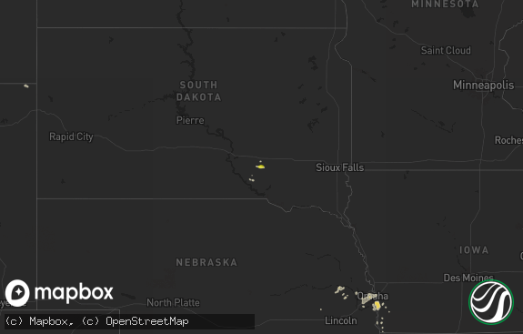
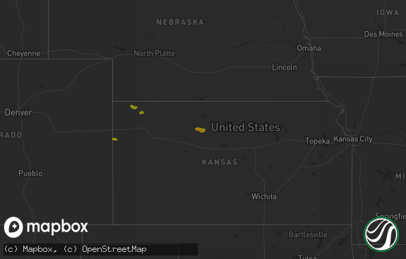
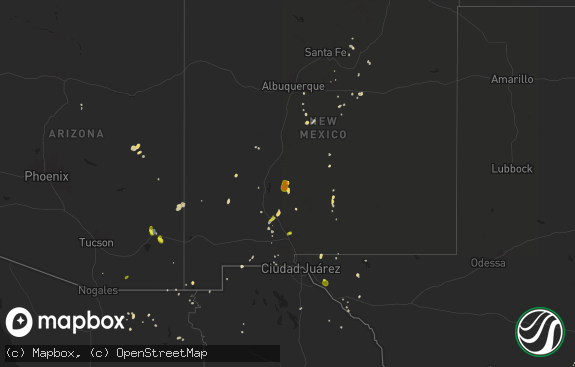
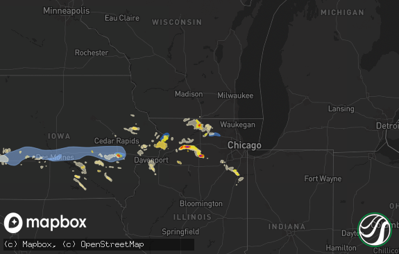
Hail Map in New York on July 6, 2019
The weather event in New York on July 6, 2019 includes Wind and Hail maps. 30 states and 454 cities were impacted and suffered possible damage. The total estimated number of properties impacted is 0.

Wind
Hail
0
Estimated number of impacted properties by a 1.00" hail or larger0
Estimated number of impacted properties by a 1.75" hail or larger0
Estimated number of impacted properties by a 2.50" hail or largerStorm reports in New York
New York
| Date | Description |
|---|---|
| 07/06/20193:40 PM CDT | Metal shed destroyed at lowes and blown into walmart in greenport. |
| 07/06/20193:40 PM CDT | One tree down south of catskill on route 9w. |
| 07/06/20193:20 PM CDT | Tree down north of east kerley rd |
| 07/06/20193:18 PM CDT | Numerous trees and wires down in the village. |
| 07/06/20192:40 PM CDT | Trees down on creekslocks rd and schoolhouse lane. |
| 07/06/20191:46 PM CDT | Metal shed destroyed at lowes and blown into walmart in greenport. |
| 07/06/201912:57 PM CDT | Trees down on roads. |
| 07/06/20196:56 AM CDT | At 1156 AM EDT, a severe thunderstorm was located 8 miles northeast of Chaffee, or 16 miles southeast of East Aurora, moving east at 35 mph. HAZARD...60 mph wind gusts. SOURCE...Radar indicated. IMPACT...Expect damage to roofs, siding, and trees. Locations impacted include... Letchworth State Park, Perry, Warsaw, Arcade, Portageville, Varysburg, Sheldon, Nunda, Eagle and Pike. |
| 07/05/201911:28 PM CDT | At 428 PM EDT, a severe thunderstorm was located near Catskill, moving southeast at 40 mph. HAZARD...60 mph wind gusts and quarter size hail. SOURCE...Radar indicated. IMPACT...Hail damage to vehicles is expected. Expect wind damage to roofs, siding, and trees. Locations impacted include... Hudson, Catskill, Claverack, Coxsackie, Athens, Lorenz Park, Claverack-Red Mills, Cairo, Stockport, Germantown, Hamburg Light, Jefferson Heights, Burden Dock, Columbiaville, Greenport Center, Mellenville, Burden, Round Top, Earlton and Stockport Station. |
| 07/05/201911:03 PM CDT | At 402 PM EDT, a severe thunderstorm was located over Saugerties, moving east at 10 mph. HAZARD...60 mph wind gusts and nickel size hail. SOURCE...Radar indicated. IMPACT...Expect damage to roofs, siding, and trees. Locations impacted include... Clermont, Red Hook, Tivoli, Cokertown, Kerleys Corners, Barrytown, Viewmonte, Manorton, Linden Acres, Annandale-On-Hudson, Bingham Mills, Snyderville, Mount Ross, Nevis, Fraleighs, Blue Store, Red Hook Mills, Jackson Corners, Upper Red Hook and Elizaville. |
| 07/05/201910:50 PM CDT | At 349 PM EDT, a severe thunderstorm was located over Colonie, moving east at 30 mph. HAZARD...60 mph wind gusts. SOURCE...Radar indicated. IMPACT...Expect damage to roofs, siding, and trees. Locations impacted include... Albany, Troy, East Greenbush, Cohoes, Watervliet, Rensselaer, Colonie, Latham, Delmar, Guilderland, Menands, Voorheesville, Green Island, Grafton, Waterford, Berlin, Loudonville, West Sand Lake, Center Brunswick and Wyantskill. |
| 07/05/20199:44 PM CDT | At 243 PM EDT, a severe thunderstorm was located over Lorenz Park, or near Hudson, moving southeast at 15 mph. Damage has been reported with this storm. HAZARD...60 mph wind gusts and penny size hail. SOURCE...Radar indicated. IMPACT...Expect damage to roofs, siding, and trees. Locations impacted include... Hudson, Chatham, Claverack, Philmont, Kinderhook, Lorenz Park, Claverack-Red Mills, Ghent, Stockport, Hillsdale, Stuyvesant Falls, Columbiaville, Mellenville, Craryville, Rossman, North Hillsdale, Stockport Station, Arnolds Mill, Brick Tavern and Harlemville. |
All States Impacted by Hail Map on July 6, 2019
Cities Impacted by Hail Map on July 6, 2019
- Wheatland, WY
- Bushnell, NE
- Kimball, NE
- Hanna, WY
- Burns, WY
- Buffalo, WY
- Oxford, ME
- Hebron, ME
- South Paris, ME
- Norway, ME
- Sun River, MT
- Drummond, MT
- Marathon, TX
- Saugerties, NY
- Pontiac, IL
- Cornell, IL
- Malvern, PA
- Rogers, NM
- Cascade, MT
- Ropesville, TX
- Big Springs, NE
- Hamilton, MT
- Corvallis, MT
- Martinsdale, MT
- Lagrange, ME
- Milo, ME
- Chugwater, WY
- Meadow, TX
- Libby, MT
- Kaycee, WY
- Gering, NE
- Scottsbluff, NE
- Arkansas City, KS
- Trego, MT
- Red Lodge, MT
- Roscoe, MT
- White Sulphur Springs, MT
- Crook, CO
- Cheyenne, WY
- Vaughn, MT
- Ney, OH
- Millfield, OH
- Amesville, OH
- Cameron, OK
- Stuart, OK
- Mcalester, OK
- Gordon, NE
- Rushville, NE
- Clearmont, WY
- Muskogee, OK
- Newkirk, OK
- Sand Springs, OK
- Laramie, WY
- Winifred, MT
- Bridgeport, WV
- Shinnston, WV
- Great Falls, MT
- Whitefish, MT
- Washington, DC
- Traphill, NC
- Pine Bluffs, WY
- Albin, WY
- Cuervo, NM
- West Finley, PA
- Cameron, WV
- Dallas, WV
- Burlington, ME
- Purling, NY
- Catskill, NY
- South Cairo, NY
- Cairo, NY
- Bosler, WY
- Rock River, WY
- Greenville, MS
- Freedom, PA
- Lubbock, TX
- Brule, NE
- Lodge Grass, MT
- Dalton, NE
- Wewoka, OK
- Sasakwa, OK
- Mount Sterling, OH
- Balmorhea, TX
- Ogallala, NE
- Wichita, KS
- Roy, MT
- Hilger, MT
- Vilonia, AR
- Cabot, AR
- Jacksonville, AR
- Jal, NM
- Big Sandy, MT
- Wagoner, OK
- Porter, OK
- Havre, MT
- Greenwich, CT
- Sedgwick, CO
- Burnt Cabins, PA
- Neelyton, PA
- Shade Gap, PA
- Konawa, OK
- Fairbury, IL
- Casper, WY
- Hawk Springs, WY
- Meriden, WY
- Lagrange, WY
- Kermit, TX
- Lincoln, ME
- West Enfield, ME
- Okemah, OK
- Fishtail, MT
- Cassville, PA
- Three Springs, PA
- Mapleton Depot, PA
- Gurley, NE
- Tivoli, NY
- Worthington, WV
- Mannington, WV
- Boulder, MT
- Whitehall, MT
- Crookston, NE
- Brownville, ME
- Howland, ME
- Saint Louisville, OH
- McLean, VA
- Mercer, PA
- Muleshoe, TX
- Benton, AR
- Hot Springs National Park, AR
- Lonsdale, AR
- Abernathy, TX
- Niceville, FL
- Stevensville, MT
- East Longmeadow, MA
- Springfield, MA
- Heavener, OK
- Hodgen, OK
- Morton, TX
- Talala, OK
- La Moille, IL
- Bridger, MT
- Roberts, MT
- Garden City, TX
- Montrose, IL
- Mannford, OK
- Farmington, KY
- Murray, KY
- Causey, NM
- Farmville, VA
- Red Hook, NY
- Germantown, NY
- Malden On Hudson, NY
- Throckmorton, TX
- Oshkosh, NE
- Glouster, OH
- Chesterhill, OH
- Andrews, TX
- Glen Burnie, MD
- Curtis Bay, MD
- Broken Arrow, OK
- Herndon, PA
- Bayard, NE
- Freeport, FL
- Charlo, MT
- Valley Center, KS
- Helena, MT
- Coweta, OK
- Redbird, OK
- Lemoyne, NE
- Clarksburg, WV
- Utica, IL
- Troy Grove, IL
- La Salle, IL
- Mendota, IL
- Ulm, MT
- Sudan, TX
- Maize, KS
- Box Elder, MT
- Muenster, TX
- Chappell, NE
- Marianna, AR
- Midkiff, TX
- Augusta, MT
- Stanton, TX
- Todd, PA
- Orbisonia, PA
- Leeds, ME
- Ottawa, IL
- Freehold, NY
- Leeds, NY
- Lowell, IN
- Idalou, TX
- Lone Grove, OK
- Wolfforth, TX
- Bridgeport, OH
- Saint Clairsville, OH
- Harrisburg, NE
- Chinook, MT
- Olney, TX
- Elsie, NE
- Cambridge, MD
- Wynnewood, OK
- Black Eagle, MT
- Burneyville, OK
- Turner, ME
- Greene, ME
- Buckfield, ME
- Yoder, WY
- Passadumkeag, ME
- Doylestown, PA
- New Hope, PA
- Furlong, PA
- Hustontown, PA
- Claysville, PA
- Prosperity, PA
- Swedesboro, NJ
- Bridgeport, NJ
- Altamont, KS
- Newcastle, TX
- Wewahitchka, FL
- Ludlow, MA
- Saint Ignatius, MT
- Checotah, OK
- Wheeling, WV
- Cloudcroft, NM
- Graysville, OH
- Lewisville, OH
- Lloyd, MT
- Minatare, NE
- Huntingdon, PA
- Ardmore, OK
- Power, MT
- Potter, NE
- Blackwell, OK
- West Union, WV
- Armonk, NY
- West Harrison, NY
- Purchase, NY
- Lodgepole, NE
- Fort Hancock, TX
- Spiceland, IN
- Wray, GA
- Buford, WY
- Poteau, OK
- Roaring River, NC
- Ronda, NC
- Lovingston, VA
- Natural Bridge, VA
- Lexington, VA
- Sebec, ME
- Torrington, WY
- Hays, NC
- Loving, TX
- Whitefield, NH
- Absarokee, MT
- Eutaw, AL
- Cadiz, OH
- Waterford, OH
- Fleming, OH
- Wind Ridge, PA
- Broad Top, PA
- Dudley, PA
- Robertsdale, PA
- Boligee, AL
- New Castle, IN
- Lewisville, IN
- Leechburg, PA
- Hyde Park, PA
- Vandergrift, PA
- Tallahassee, FL
- Falls Church, VA
- Arlington, VA
- Busby, MT
- Garryowen, MT
- Carnegie, PA
- Monee, IL
- Rawlins, WY
- Noble, IL
- Belfry, MT
- Davis, OK
- Millinocket, ME
- Danforth, ME
- Brookton, ME
- Litchfield, ME
- Russell, PA
- Warren, PA
- Byrnedale, PA
- Weedville, PA
- Kersey, PA
- Ridgway, PA
- Clearfield, PA
- Du Bois, PA
- Rockton, PA
- Penfield, PA
- Monessen, PA
- Donora, PA
- Belle Vernon, PA
- Monongahela, PA
- Annville, PA
- Dauphin, PA
- Duncannon, PA
- Harrisburg, PA
- Hummelstown, PA
- Hershey, PA
- Marysville, PA
- Palmyra, PA
- Enola, PA
- Newtown, PA
- Ridley Park, PA
- Prospect Park, PA
- Norwood, PA
- Folsom, PA
- East Liverpool, OH
- Newell, WV
- New Cumberland, WV
- Chester, WV
- Toronto, OH
- Irondale, OH
- Hammondsville, OH
- Empire, OH
- Stratton, OH
- Saint Marys, WV
- Friendly, WV
- Lost Creek, WV
- Salem, WV
- Richmond, VT
- Moretown, VT
- Montpelier, VT
- Waterbury, VT
- Middleburg, VA
- Sterling, VA
- Capitol Heights, MD
- District Heights, MD
- Bethesda, MD
- Great Falls, VA
- Purcellville, VA
- Ashburn, VA
- Potomac, MD
- Leesburg, VA
- Aldie, VA
- Herndon, VA
- Vienna, VA
- Chevy Chase, MD
- Hyattsville, MD
- Reston, VA
- Cabin John, MD
- Glen Echo, MD
- Upper Marlboro, MD
- Dickerson, MD
- Boyds, MD
- Clarksburg, MD
- Barnesville, MD
- Rockville, MD
- Gaithersburg, MD
- Silver Spring, MD
- Lanham, MD
- Bladensburg, MD
- Bowie, MD
- Riverdale, MD
- Brentwood, MD
- Ellsworth, NE
- Mcgrew, NE
- Angora, NE
- Morrill, NE
- Melbeta, NE
- Sidney, NE
- Lewellen, NE
- Broadwater, NE
- Keystone, NE
- Lyman, NE
- Dix, NE
- Arthur, NE
- Bridgeport, NE
- Paxton, NE
- Mitchell, NE
- Lisco, NE
- Falls Village, CT
- Lakeville, CT
- New Braintree, MA
- Longmeadow, MA
- Hampden, MA
- Agawam, MA
- Cimarron, KS
- Ingalls, KS
- Hanston, KS
- Ness City, KS
- Bazine, KS
- Hardtner, KS
- Kiowa, KS
- Medicine Lodge, KS
- Isabel, KS
- Arvada, WY
- Kenton, OK
- Boise City, OK
- Keyes, OK
- New Castle, PA
- New Brighton, PA
- Beaver, PA
- Beaver Falls, PA
- Darlington, PA
- Monaca, PA
- Rochester, PA
- Cranberry Township, PA
- Zelienople, PA
- Baden, PA
- Sutersville, PA
- Presto, PA
- Pittsburgh, PA
- Finleyville, PA
- South Park, PA
- Clairton, PA
- Elizabeth, PA
- Smithton, PA
- West Elizabeth, PA
- West Newton, PA
- Bethel Park, PA
- Bridgeville, PA
- Derry, PA
- Bolivar, PA
- Claridge, PA
- Hannastown, PA
- Verona, PA
- Latrobe, PA
- Greensburg, PA
- Jeannette, PA
- Delmont, PA
- Export, PA
- Apollo, PA
- Forbes Road, PA
- Bradenville, PA
- Crabtree, PA
- Cheswick, PA
- Loyalhanna, PA
- Springdale, PA
- Boswell, PA
- New Florence, PA
- New Alexandria, PA
- Luxor, PA
- Murrysville, PA
- Johnstown, PA
- Harwick, PA
- Ligonier, PA
- New Derry, PA
- Creighton, PA
- Tarentum, PA
- New Kensington, PA
- Youngstown, PA
- Bovard, PA
- Hampton, NJ
- High Bridge, NJ
- Clinton, NJ
- Annandale, NJ
- Lebanon, NJ
- Groveton, NH


