Hail Map in Nevada on July 28, 2022
Get this storm
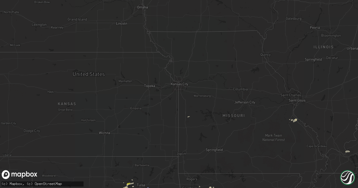
July 28 map
$229
one time, instant access
Download today. No call, no setup
Keep the $229
Bought the map and want the full workflow? Apply the entire $229 to a subscription within 7 days. None of it is wasted.
Every map, not just this one
This buys you this map. Subscription and you get every map we run, in the markets you choose from a few cities to whole states to nationwide. Plus real-time alerts the moment a storm fires.
Contact data
Name, contact info, occupancy, even credit band for addresses in the footprint. You go from where it hit to who to call.
Become the source they trust
Unlimited branding weather history reports on demand. You already have the documented answer ready for the property owner, and you are the one who showed up with it.
Property data and RoofTrace estimates
Pull up any address you have got, its value and the exact code rules for that jurisdiction, straight from One Click Code. Then RoofTrace estimates the squares, pitch, and roof value, priced the way you price.
Storm reports in Nevada
Nevada
| Date | Description |
|---|---|
| 07/28/20225:45 PM CDT | Station 7 a18aa reports gust to 59 mph in thunderstorm. |
| 07/28/20225:45 PM CDT | Area 9 a09ab reports thunderstorm wind gust to 62 mph. |
| 07/28/20224:22 AM CDT | At 921 PM PDT, a severe thunderstorm was located over the Las Vegas Valley, or over Paradise, moving south at 20 mph. HAZARD...60 mph wind gusts. SOURCE...Radar indicated. IMPACT...Expect damage to roofs and trees. Locations impacted include... Las Vegas, Henderson, North Las Vegas, Anthem, Summerlin, Mountains Edge, The Strip, Nellis AFB, Downtown Las Vegas, East Las Vegas, Sam Boyd Stadium, Southern Highlands, Spring Valley, Green Valley, Enterprise, Paradise, Lone Mountain, Lake Las Vegas, Sloan and Seven Hills.This includes Interstate 15 in Nevada between mile markers 20 and 25. |
| 07/28/20223:10 AM CDT | At 810 PM PDT, a severe thunderstorm was located 21 miles north of Aliante, moving south at 25 mph. HAZARD...60 mph wind gusts. SOURCE...Radar indicated. IMPACT...Expect damage to roofs and trees and frequent cloud-to- ground lightning. Locations impacted include... Las Vegas, North Las Vegas, Lone Mountain, Centennial Hills, Aliante, Nellis AFB, The Motor Speedway, East Las Vegas, Summerlin, Sunrise Mtn, Gass Pk and Hayford Pk.This includes Interstate 15 in Nevada between mile markers 60 and 70. |
| 07/28/202212:35 AM CDT | Several large trees down and flooding with large rocks washed into the roadway. |
| 07/28/202212:28 AM CDT | At 527 PM PDT, a severe thunderstorm was located 13 miles east of Hiko, moving south at 15 mph. HAZARD...60 mph wind gusts and quarter size hail. SOURCE...Radar indicated. IMPACT...Hail damage to vehicles is expected. Expect wind damage to roofs and trees. Locations impacted include... Alamo, Hiko and Elgin. |
| 07/28/202212:04 AM CDT | Tree down on 13th street north of stewart. |
| 07/28/202212:02 AM CDT | Tree down blocking stewart near 13th street. |
| 07/27/202211:56 PM CDT | 59 mph wind gust recorded at klas harry reid intl airport. |
| 07/27/202211:53 PM CDT | At 452 PM PDT, a severe thunderstorm was located 17 miles northeast of Lathrop Wells, or 19 miles northwest of Mercury, moving southeast at 15 mph. HAZARD...60 mph wind gusts. SOURCE...Radar indicated. IMPACT...Expect damage to roofs and trees. This severe thunderstorm will remain over mainly rural areas of east central Nye County. |
| 07/27/202211:46 PM CDT | At 445 PM PDT/445 PM MST/, a severe thunderstorm was located near Oatman, or 14 miles southeast of Bullhead City, moving southwest at 20 mph. HAZARD...60 mph wind gusts and quarter size hail. SOURCE...Radar indicated. IMPACT...Hail damage to vehicles is expected. Expect wind damage to roofs and trees. Locations impacted include... Lake Havasu City, Bullhead City, Laughlin, Topock, Yucca, Katherine Landing, Needles, Oatman, Desert Hills, Mojave Ranch Estates, Mohave Valley, Big Bend Rec Area, Highway 95 And I-40, Mesquite Creek, Arizona Village and Willow Valley.This includes the following highways... Interstate 40 in Arizona between mile markers 0 and 28. Interstate 40 in California between mile markers 122 and 155. |
| 07/27/202211:30 PM CDT | 71 mph wind gust recorded near flamingo and eastern in las vegas. |
| 07/27/202211:20 PM CDT | 60 mph wind gust recorded at artesian sub nvenergy station in east las vegas. |
| 07/27/202211:16 PM CDT | 64 mph gust recorded near owens and bruce street in las vegas. |
| 07/27/202211:00 PM CDT | At 400 PM PDT, a severe thunderstorm was located near Panaca, or 10 miles northeast of Caliente, moving southwest at 30 mph. HAZARD...60 mph wind gusts and quarter size hail. SOURCE...Radar indicated. IMPACT...Hail damage to vehicles is expected. Expect wind damage to roofs and trees. Locations impacted include... Caliente, Ursine, Pioche, Horsethief Gulch Campground, Kershaw-Ryan Campground, Eagle Valley, Meadow Valley Campground, Panaca, Echo Canyon State Park and Cathedral Gorge State Park. |
| 07/27/202210:54 PM CDT | Public report of a large tree down near the intersection of 215 and north decatur blvd. |
| 07/27/20227:15 PM CDT | Area 25 east reports 59 mph wind gust from thunderstorms. |
All States Impacted by Hail Map on July 28, 2022
Cities Impacted by Hail Map on July 28, 2022
- Hurricane, UT
- Littlefield, AZ
- Wesley, AR
- Witter, AR
- Elkins, AR
- Fayetteville, AR
- Huntsville, AR
- Berryville, AR
- Compton, AR
- Franklin, TN
- Fairview, TN
- Nashville, TN
- Smithland, KY
- Tiline, KY
- Chandler, OK
- Wellston, OK
- Drumright, OK
- Yale, OK
- Evanston, IN
- Choctaw, OK
- Stigler, OK
- Keota, OK
- Wewoka, OK
- Nolensville, TN
- Arrington, TN
- Garrett, WY
- Sand Springs, OK
- Mannford, OK
- Muskogee, OK
- Happy, TX
- Rock River, WY
- Union City, OK
- Tuttle, OK
- Minco, OK
- Terlton, OK
- Jennings, OK
- Cleveland, OK
- Festus, MO
- De Soto, MO
- Hindsville, AR
- Texline, TX
- Brookport, IL
- Grand Rivers, KY
- Burna, KY
- Roy, NM
- Medicine Bow, WY
- West Fork, AR
- Holly Grove, AR
- Marvell, AR
- Spiro, OK
- Hockley, TX
- Cypress, TX
- College Grove, TN
- Oklahoma City, OK
- Spencer, OK
- Smithville, TN
- Warrenton, NC
- Earlsboro, OK
- Tecumseh, OK
- Shawnee, OK
- Laramie, WY
- Centennial, WY
- Las Vegas, NV
- Piney Flats, TN
- Kingsport, TN
- Henderson, NV
- Bristow, OK
- Bosler, WY
- Mcalester, OK
- Harrah, OK
- Luther, OK
- Meeker, OK
- Emporia, KS
- Waverly, KS
- Lebo, KS
- Scott, AR
- England, AR
- Little Rock, AR
- Cushing, OK
- Sparta, TN
- Cedar City, UT
- Stroud, OK
- Newalla, OK
- Holdenville, OK
- Wetumka, OK
- Benton, AR
- Maud, OK
- Seminole, OK
- Caliente, NV
- Magazine, AR
- Princess Anne, MD
- Nanticoke, MD
- Bivalve, MD
- Quantico, MD
- Tyaskin, MD
- Agra, OK
- Malvern, AR
- Jones, OK
- Tulia, TX
- Channing, TX
- Lockney, TX
- Silverton, TX
- Kingman, AZ
- Collierville, TN
- Boulder City, NV
- Bismarck, AR
- Butler, MO
- Bokoshe, OK
- Mccurtain, OK
- Donaldson, AR
- Porter, OK
- Bloomsdale, MO
- French Village, MO
- Mena, AR
- Broken Arrow, OK
- Paris, AR
- Mcminnville, TN
- Walling, TN
- Rock Island, TN
- Warwick, MA
- Winchester, NH
- Prue, OK
- Tucumcari, NM
- Conchas Dam, NM
- Neosho Rapids, KS
- Green Forest, AR
- Kingston, AR
- Dalhart, TX
- Tulsa, OK
- Corinth, NY
- Lake Luzerne, NY
- Hadley, NY
- Gainesville, NY
- Silver Springs, NY
- Bliss, NY
- Vega, TX
- Indian Springs, NV
- Searchlight, NV
- North Las Vegas, NV
- El Reno, OK
- Locke, NY
- McGraw, NY
- Lansing, NY
- Interlaken, NY
- Keuka Park, NY
- McDonough, NY
- Truxton, NY
- Hector, NY
- South Plymouth, NY
- Himrod, NY
- Prattsburgh, NY
- Homer, NY
- Branchport, NY
- De Ruyter, NY
- King Ferry, NY
- Pitcher, NY
- Trumansburg, NY
- Ithaca, NY
- Freeville, NY
- Cincinnatus, NY
- Cortland, NY
- South Otselic, NY
- Genoa, NY
- Groton, NY
- Penn Yan, NY
- North Pitcher, NY
- Lodi, NY
- Dundee, NY


