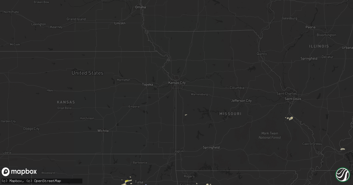
Hail Map in Tennessee on July 28, 2022
Get this storm
July 28 map
$229
one time, instant access
Download today. No call, no setup
Keep the $229
Bought the map and want the full workflow? Apply the entire $229 to a subscription within 7 days. None of it is wasted.
Every map, not just this one
This buys you this map. Subscription and you get every map we run, in the markets you choose from a few cities to whole states to nationwide. Plus real-time alerts the moment a storm fires.
Contact data
Name, contact info, occupancy, even credit band for addresses in the footprint. You go from where it hit to who to call.
Become the source they trust
Unlimited branding weather history reports on demand. You already have the documented answer ready for the property owner, and you are the one who showed up with it.
Property data and RoofTrace estimates
Pull up any address you have got, its value and the exact code rules for that jurisdiction, straight from One Click Code. Then RoofTrace estimates the squares, pitch, and roof value, priced the way you price.
Storm reports in Tennessee
Tennessee
| Date | Description |
|---|---|
| 07/28/20224:04 AM CDT | At 903 PM EDT, severe thunderstorms were located along a line extending from near Decatur to near Walden, moving east at 20 mph. HAZARD...60 mph wind gusts. SOURCE...Radar indicated. IMPACT...Expect damage to roofs, siding, and trees. Locations impacted include... Chattanooga, Cleveland, Athens, Dayton, Sweetwater, Decatur, Soddy-Daisy, Walden, Lakesite and Charleston.This includes Interstate 75 in Tennessee between mile markers 15 and60. |
| 07/28/20223:29 AM CDT | At 828 PM EDT, a severe thunderstorm was located near Spring City, or 11 miles southwest of Rockwood, moving east at 25 mph. HAZARD...60 mph wind gusts. SOURCE...Radar indicated. IMPACT...Expect damage to roofs, siding, and trees. Locations impacted include... Kingston, Rockwood, Fairview, Spring City, Midtown, Harriman, Paint Rock, Peakland, Stinging Fork Falls State Park and Eagle Furnace.This includes Interstate 40 in Tennessee between mile markers 341 and354. |
| 07/28/202212:57 AM CDT | At 556 PM CDT, severe thunderstorms were located along a line extending from near Sparta to 9 miles southwest of Spencer, moving northeast at 35 mph. HAZARD...60 mph wind gusts. SOURCE...Radar indicated. IMPACT...Expect damage to roofs, siding, and trees. Locations impacted include... Spencer, Pleasant Hill, Virgin Falls State Natural Area and Fall Creek Falls State Park.This includes Interstate 40 between mile markers 311 and 315. |
| 07/28/202212:10 AM CDT | At 510 PM CDT, severe thunderstorms were located along a line extending from 7 miles south of Smithville to near McMinnville, moving northeast at 30 mph. HAZARD...60 mph wind gusts. SOURCE...Radar indicated. IMPACT...Expect damage to roofs, siding, and trees. Locations impacted include... McMinnville, Sparta, Morrison, Doyle, Bakers Crossroads and Rock Island State Park. |
| 07/27/202210:54 PM CDT | At 353 PM CDT, a severe thunderstorm was located near Murfreesboro, moving east at 30 mph. HAZARD...60 mph wind gusts. SOURCE...Radar indicated. IMPACT...Expect damage to roofs, siding, and trees. Locations impacted include... Murfreesboro, Smyrna, Walterhill, Auburntown, Cedars Of Lebanon State Park, Lascassas, Milton and Readyville.This includes the following highways... Interstate 24 between mile markers 76 and 82. Interstate 840 between mile markers 54 and 61. |
| 07/27/202210:32 PM CDT | At 331 PM CDT, a severe thunderstorm was located near Fairview, or 9 miles west of Franklin, moving east at 30 mph. HAZARD...60 mph wind gusts and quarter size hail. SOURCE...Radar indicated. IMPACT...Hail damage to vehicles is expected. Expect wind damage to roofs, siding, and trees. Locations impacted include... Franklin, Nashville, Brentwood, Nolensville, Forest Hills, Oak Hill, Belle Meade, Bellevue, Antioch, Fairview, Berry Hill, Natchez Trace At Highway 96 and Leipers Fork.This includes the following highways... Interstate 40 between mile markers 194 and 201, and between milemarkers 204 and 214. Interstate 65 between mile markers 64 and 85. Interstate 24 between mile markers 47 and 59. Interstate 840 near mile marker 13. |
| 07/27/20228:15 PM CDT | Tree down and some power outages across the county. Time estimated by radar. |
| 07/27/20228:15 PM CDT | A few trees down in and near decatur. |
All States Impacted by Hail Map on July 28, 2022
Cities Impacted by Hail Map on July 28, 2022
- Hurricane, UT
- Littlefield, AZ
- Wesley, AR
- Witter, AR
- Elkins, AR
- Fayetteville, AR
- Huntsville, AR
- Berryville, AR
- Compton, AR
- Franklin, TN
- Fairview, TN
- Nashville, TN
- Smithland, KY
- Tiline, KY
- Chandler, OK
- Wellston, OK
- Drumright, OK
- Yale, OK
- Evanston, IN
- Choctaw, OK
- Stigler, OK
- Keota, OK
- Wewoka, OK
- Nolensville, TN
- Arrington, TN
- Garrett, WY
- Sand Springs, OK
- Mannford, OK
- Muskogee, OK
- Happy, TX
- Rock River, WY
- Union City, OK
- Tuttle, OK
- Minco, OK
- Terlton, OK
- Jennings, OK
- Cleveland, OK
- Festus, MO
- De Soto, MO
- Hindsville, AR
- Texline, TX
- Brookport, IL
- Grand Rivers, KY
- Burna, KY
- Roy, NM
- Medicine Bow, WY
- West Fork, AR
- Holly Grove, AR
- Marvell, AR
- Spiro, OK
- Hockley, TX
- Cypress, TX
- College Grove, TN
- Oklahoma City, OK
- Spencer, OK
- Smithville, TN
- Warrenton, NC
- Earlsboro, OK
- Tecumseh, OK
- Shawnee, OK
- Laramie, WY
- Centennial, WY
- Las Vegas, NV
- Piney Flats, TN
- Kingsport, TN
- Henderson, NV
- Bristow, OK
- Bosler, WY
- Mcalester, OK
- Harrah, OK
- Luther, OK
- Meeker, OK
- Emporia, KS
- Waverly, KS
- Lebo, KS
- Scott, AR
- England, AR
- Little Rock, AR
- Cushing, OK
- Sparta, TN
- Cedar City, UT
- Stroud, OK
- Newalla, OK
- Holdenville, OK
- Wetumka, OK
- Benton, AR
- Maud, OK
- Seminole, OK
- Caliente, NV
- Magazine, AR
- Princess Anne, MD
- Nanticoke, MD
- Bivalve, MD
- Quantico, MD
- Tyaskin, MD
- Agra, OK
- Malvern, AR
- Jones, OK
- Tulia, TX
- Channing, TX
- Lockney, TX
- Silverton, TX
- Kingman, AZ
- Collierville, TN
- Boulder City, NV
- Bismarck, AR
- Butler, MO
- Bokoshe, OK
- Mccurtain, OK
- Donaldson, AR
- Porter, OK
- Bloomsdale, MO
- French Village, MO
- Mena, AR
- Broken Arrow, OK
- Paris, AR
- Mcminnville, TN
- Walling, TN
- Rock Island, TN
- Warwick, MA
- Winchester, NH
- Prue, OK
- Tucumcari, NM
- Conchas Dam, NM
- Neosho Rapids, KS
- Green Forest, AR
- Kingston, AR
- Dalhart, TX
- Tulsa, OK
- Corinth, NY
- Lake Luzerne, NY
- Hadley, NY
- Gainesville, NY
- Silver Springs, NY
- Bliss, NY
- Vega, TX
- Indian Springs, NV
- Searchlight, NV
- North Las Vegas, NV
- El Reno, OK
- Locke, NY
- McGraw, NY
- Lansing, NY
- Interlaken, NY
- Keuka Park, NY
- McDonough, NY
- Truxton, NY
- Hector, NY
- South Plymouth, NY
- Himrod, NY
- Prattsburgh, NY
- Homer, NY
- Branchport, NY
- De Ruyter, NY
- King Ferry, NY
- Pitcher, NY
- Trumansburg, NY
- Ithaca, NY
- Freeville, NY
- Cincinnatus, NY
- Cortland, NY
- South Otselic, NY
- Genoa, NY
- Groton, NY
- Penn Yan, NY
- North Pitcher, NY
- Lodi, NY
- Dundee, NY


