Hail Map in New York on July 28, 2022
Get this storm
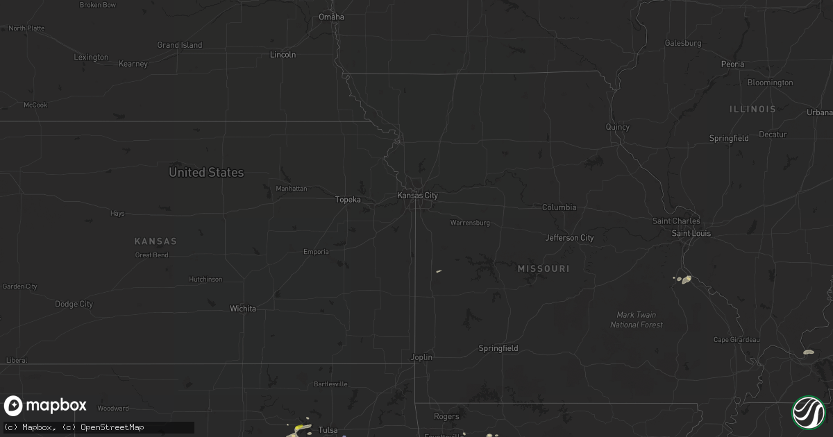
July 28 map
$229
one time, instant access
Download today. No call, no setup
Keep the $229
Bought the map and want the full workflow? Apply the entire $229 to a subscription within 7 days. None of it is wasted.
Every map, not just this one
This buys you this map. Subscription and you get every map we run, in the markets you choose from a few cities to whole states to nationwide. Plus real-time alerts the moment a storm fires.
Contact data
Name, contact info, occupancy, even credit band for addresses in the footprint. You go from where it hit to who to call.
Become the source they trust
Unlimited branding weather history reports on demand. You already have the documented answer ready for the property owner, and you are the one who showed up with it.
Property data and RoofTrace estimates
Pull up any address you have got, its value and the exact code rules for that jurisdiction, straight from One Click Code. Then RoofTrace estimates the squares, pitch, and roof value, priced the way you price.
Storm reports in New York
New York
| Date | Description |
|---|---|
| 07/28/20224:44 PM CDT | Law enforcement reported a couple of trees down in the town of grafton. Time estimated from radar. |
| 07/28/20224:31 PM CDT | Trees and a wire downed along hawley road |
| 07/28/20224:25 PM CDT | Multiple trees down in the town of schodack.time estimated from radar. |
| 07/28/20222:00 PM CDT | Several trees and wires down. Time estimated by radar. |
| 07/28/20221:53 PM CDT | Trees and wires down. |
| 07/28/20221:05 PM CDT | Power lines knocked down due to tree limbs. |
| 07/28/202212:37 PM CDT | Trees and wires down. Time estimated by radar. |
| 07/28/202212:35 PM CDT | Tree down through the roof of a building. Significant damage to the structure. |
| 07/28/202212:34 PM CDT | Tree down on a house on kent drive. Radar estimated time. |
| 07/28/202212:15 PM CDT | Via county dispatch feed. Tree down over wires... With fire response ongoing. Radar estimated time. |
| 07/28/202211:40 AM CDT | Via county dispatch feed. Large tree down blocking all of route 414. Radar estimated time. |
| 07/28/202211:21 AM CDT | Trees and wires down. |
| 07/28/202211:21 AM CDT | Trees and wires down. |
| 07/28/20229:49 AM CDT | Roof blown off barn and trees down on sheppard rd. |
| 07/28/20229:47 AM CDT | Corrects previous tornado report from 3 nne bliss. Preliminary storm survey of ef-2 tornado damage along a 10 mile path from the southeast portion of the town of java t |
| 07/28/20229:47 AM CDT | Corrects previous tornado report for updated path width from 3 nne bliss. Corrects previous tornado report from 3 nne bliss. Preliminary storm survey of ef-2 tornado da |
| 07/28/20229:43 AM CDT | Preliminary storm survey of ef-2 tornado damage along a 10 mile path from the southeast portion of the town of java to just north of gainesville. Maximum path width of |
| 07/28/20229:35 AM CDT | Trees down near route 78 and youngers rd. Damage to a house. |
| 07/28/20229:32 AM CDT | Barn collapsed on chaffee rd with trees and powerlines down along route 78. |
| 07/28/20227:41 AM CDT | At 1240 PM EDT, a severe thunderstorm was located 15 miles west of Stony Point, or 23 miles northwest of Sandy Island Beach State Park, moving northeast at 40 mph. HAZARD...60 mph wind gusts and penny size hail. SOURCE...Radar indicated. IMPACT...Expect damage to trees and power lines. Locations impacted include... Watertown, Stony Point, Clayton, Adams, Dexter, Henderson Harbor, Cedar Point State Park and Southwick Beach State Park.This includes Interstate 81 between exits 41 and 48. |
| 07/28/20227:26 AM CDT | At 1226 PM EDT, a severe thunderstorm was located over Keuka Park, or near Penn Yan, moving east at 40 mph. HAZARD...60 mph wind gusts. SOURCE...Radar indicated. IMPACT...Expect damage to roofs, siding, and trees. Locations impacted include... Penn Yan, Hector, Romulus, Starkey, Lansing, Benton, Covert, Ledyard, Trumansburg and Dundee. |
| 07/28/20226:59 AM CDT | At 1158 AM EDT, severe thunderstorms were located along a line extending from near Canandaigua to Haskinville, moving east at 25 mph. HAZARD...60 mph wind gusts. SOURCE...Radar indicated. IMPACT...Expect damage to roofs, siding, and trees. Locations impacted include... Benton, Urbana, Potter, Wayland, Middlesex, Pulteney, Wheeler, Italy, Avoca and Arkport. |
| 07/28/20226:22 AM CDT | At 1121 AM EDT, severe thunderstorms were located along a line extending from near Hemlock to 10 miles southeast of Portageville, moving east at 40 mph. HAZARD...60 mph wind gusts. SOURCE...Radar indicated. IMPACT...Expect damage to roofs, siding, and trees. Locations impacted include... Benton, Urbana, Potter, Wayland, Middlesex, Pulteney, Wheeler, Italy, Avoca and Arkport. |
| 07/28/20226:04 AM CDT | At 1103 AM EDT, severe thunderstorms were located along a line extending from near Mount Morris to near Portageville, moving east at 40 mph. HAZARD...60 mph wind gusts and penny size hail. SOURCE...Radar indicated. IMPACT...Expect damage to trees and power lines. Locations impacted include... Geneseo, Dansville, Letchworth State Park, Perry, Mount Morris, Conesus, Naples, Hemlock, Portageville and Honeoye.This includes Interstate 390 between exits 4 and 7. |
| 07/28/20222:12 AM CDT | At 712 PM EDT, a severe thunderstorm was located over Pleasant Mount, or 13 miles northwest of Honesdale, moving east at 20 mph. HAZARD...60 mph wind gusts. SOURCE...Radar indicated. IMPACT...Expect damage to roofs, siding, and trees. Locations impacted include... Pleasant Mount, Rutledgedale, Abrahamsville, Calkins, Lookout, Rileyville and Aldenville. |
| 07/28/202212:24 AM CDT | At 524 PM EDT, a severe thunderstorm was located over Castleton-On-Hudson, or near East Greenbush, moving east at 30 mph. HAZARD...60 mph wind gusts and penny size hail. SOURCE...Radar indicated. IMPACT...Expect damage to roofs, siding, and trees. Locations impacted include... Albany, East Greenbush, Rensselaer, Nassau, Stephentown, New Lebanon, Valatie, Castleton-On-Hudson, Kinderhook, West Sand Lake, Averill Park, Sand Lake, Coeymans, Canaan, East Nassau, Brookview, Van Hoesen Station, West Stephentown, Jacks Corners and Millers Corners. |
| 07/27/202211:29 PM CDT | At 429 PM EDT, a severe thunderstorm was located near Hudson Falls, moving east at 25 mph. HAZARD...60 mph wind gusts and quarter size hail. SOURCE...Radar indicated. IMPACT...Hail damage to vehicles is expected. Expect wind damage to roofs, siding, and trees. Locations impacted include... Hudson Falls, Granville, Hartford, Comstock, Kingsbury, Porter, Fort Ann, Middle Granville, Braymer School, Dunham Basin, Smiths Basin, Adamsville, North Granville, South Granville, Truthville, Raceville, Tripoli, West Granville, Slateville and East Hartford. |
| 07/27/202210:49 PM CDT | At 349 PM EDT, a severe thunderstorm was located near Lake Luzerne-Hadley, or 12 miles southwest of Lake George Village, moving east at 30 mph. HAZARD...60 mph wind gusts and quarter size hail. SOURCE...Radar indicated. IMPACT...Hail damage to vehicles is expected. Expect wind damage to roofs, siding, and trees. Locations impacted include... Glens Falls, Hudson Falls, Lake George Village, Fort Edward, Corinth, Hartford, Comstock, West Glens Falls, Lake Luzerne Campground, Glens Falls North, Queensbury, Kingsbury, Mount Hope, South Glens Falls, Lake Luzerne, Hadley, Lake George, Fort Ann, Cleverdale and Beartown. |
| 07/27/202210:46 PM CDT | At 345 PM EDT, a severe thunderstorm was located near Summit, or 12 miles southwest of Cobleskill, moving east at 35 mph. HAZARD...60 mph wind gusts and penny size hail. SOURCE...Radar indicated. IMPACT...Expect damage to roofs, siding, and trees. Locations impacted include... Cobleskill, Jefferson, Middleburgh, Summit, Schoharie, Richmondville, Livingstonville, North Blenheim, Breakabeen, West Richmondville, Baird Corners, Huntersland, Warnerville, Old Stone Fort, Lutheranville, Broome Center, West Fulton, Vintonton, Five Corners and Mineral Springs. |
| 07/27/20229:21 PM CDT | At 220 PM EDT, severe thunderstorms were located along a line extending from West Fowler to 14 miles south of Pitcairn, moving northeast at 45 mph. HAZARD...60 mph wind gusts and quarter size hail. SOURCE...Radar indicated. IMPACT...Minor hail damage to vehicles is possible. Expect wind damage to trees and powerlines. Locations impacted include... Potsdam, Gouverneur, Canton, Oswegatchie, Fowler, Parishville, Colton, Piercefield, Degrasse, Carry Falls Reservoir, Cranberry Lake, Hermon, Brasher Falls, Horseshoe Lake, Star Lake, Richville, Norwood, Pierrepont, Russell and Fine. |
| 07/27/20228:51 PM CDT | At 150 PM EDT, a severe thunderstorm was located over Solon, or 9 miles east of Cortland, moving east at 40 mph. HAZARD...60 mph wind gusts. SOURCE... Damage was reported to a building in Cortland. IMPACT...Expect damage to roofs, siding, and trees. Locations impacted include... Norwich, Plymouth, North Norwich, Sherburne, Solon, Cincinnatus, Otselic, McGraw, Preston and Earlville. |
| 07/27/20228:38 PM CDT | At 137 PM EDT, a cluster of severe thunderstorms was located 12 miles southwest of South Hammond, moving northeast at 25 mph. HAZARD...60 mph wind gusts and quarter size hail. SOURCE...Radar indicated. IMPACT...Minor hail damage to vehicles is possible. Expect wind damage to trees and powerlines. Locations impacted include... Potsdam, Massena, Gouverneur, Canton, Ogdensburg, Norfolk, Lisbon, Louisville, De Kalb, Fowler, Morley, Massena International Airport - Richards Field, Helena, Waddington, Richville, Hammond, Madrid, Rensselaer Falls, Norwood and Edwardsville. |
| 07/27/20228:26 PM CDT | At 125 PM EDT, severe thunderstorms were located along a line extending from near Cedar Point State Park to Adams, moving northeast at 45 mph. HAZARD...60 mph wind gusts and penny size hail. SOURCE...Radar indicated. IMPACT...Expect damage to trees and power lines. Locations impacted include... Watertown, Fort Drum, Carthage, West Carthage, Clayton, Glen Park, Herrings, Redwood, Copenhagen, Kring Point State Park and Wellesley Island State Park.This includes Interstate 81 between exits 45 and 52. |
| 07/27/20228:06 PM CDT | At 105 PM EDT, a severe thunderstorm was located near Genoa, or 11 miles north of Ithaca, moving east at 40 mph. HAZARD...70 mph wind gusts and penny size hail. SOURCE...Law enforcement has reported numerous trees and wires down over Yates county. IMPACT...Expect considerable tree damage. Damage is likely to mobile homes, roofs, and outbuildings. Locations impacted include... Cortland, Owasco, Homer, Otisco, Groton, Covert, Locke, Genoa, Ledyard and Trumansburg. |
All States Impacted by Hail Map on July 28, 2022
Cities Impacted by Hail Map on July 28, 2022
- Hurricane, UT
- Littlefield, AZ
- Wesley, AR
- Witter, AR
- Elkins, AR
- Fayetteville, AR
- Huntsville, AR
- Berryville, AR
- Compton, AR
- Franklin, TN
- Fairview, TN
- Nashville, TN
- Smithland, KY
- Tiline, KY
- Chandler, OK
- Wellston, OK
- Drumright, OK
- Yale, OK
- Evanston, IN
- Choctaw, OK
- Stigler, OK
- Keota, OK
- Wewoka, OK
- Nolensville, TN
- Arrington, TN
- Garrett, WY
- Sand Springs, OK
- Mannford, OK
- Muskogee, OK
- Happy, TX
- Rock River, WY
- Union City, OK
- Tuttle, OK
- Minco, OK
- Terlton, OK
- Jennings, OK
- Cleveland, OK
- Festus, MO
- De Soto, MO
- Hindsville, AR
- Texline, TX
- Brookport, IL
- Grand Rivers, KY
- Burna, KY
- Roy, NM
- Medicine Bow, WY
- West Fork, AR
- Holly Grove, AR
- Marvell, AR
- Spiro, OK
- Hockley, TX
- Cypress, TX
- College Grove, TN
- Oklahoma City, OK
- Spencer, OK
- Smithville, TN
- Warrenton, NC
- Earlsboro, OK
- Tecumseh, OK
- Shawnee, OK
- Laramie, WY
- Centennial, WY
- Las Vegas, NV
- Piney Flats, TN
- Kingsport, TN
- Henderson, NV
- Bristow, OK
- Bosler, WY
- Mcalester, OK
- Harrah, OK
- Luther, OK
- Meeker, OK
- Emporia, KS
- Waverly, KS
- Lebo, KS
- Scott, AR
- England, AR
- Little Rock, AR
- Cushing, OK
- Sparta, TN
- Cedar City, UT
- Stroud, OK
- Newalla, OK
- Holdenville, OK
- Wetumka, OK
- Benton, AR
- Maud, OK
- Seminole, OK
- Caliente, NV
- Magazine, AR
- Princess Anne, MD
- Nanticoke, MD
- Bivalve, MD
- Quantico, MD
- Tyaskin, MD
- Agra, OK
- Malvern, AR
- Jones, OK
- Tulia, TX
- Channing, TX
- Lockney, TX
- Silverton, TX
- Kingman, AZ
- Collierville, TN
- Boulder City, NV
- Bismarck, AR
- Butler, MO
- Bokoshe, OK
- Mccurtain, OK
- Donaldson, AR
- Porter, OK
- Bloomsdale, MO
- French Village, MO
- Mena, AR
- Broken Arrow, OK
- Paris, AR
- Mcminnville, TN
- Walling, TN
- Rock Island, TN
- Warwick, MA
- Winchester, NH
- Prue, OK
- Tucumcari, NM
- Conchas Dam, NM
- Neosho Rapids, KS
- Green Forest, AR
- Kingston, AR
- Dalhart, TX
- Tulsa, OK
- Corinth, NY
- Lake Luzerne, NY
- Hadley, NY
- Gainesville, NY
- Silver Springs, NY
- Bliss, NY
- Vega, TX
- Indian Springs, NV
- Searchlight, NV
- North Las Vegas, NV
- El Reno, OK
- Locke, NY
- McGraw, NY
- Lansing, NY
- Interlaken, NY
- Keuka Park, NY
- McDonough, NY
- Truxton, NY
- Hector, NY
- South Plymouth, NY
- Himrod, NY
- Prattsburgh, NY
- Homer, NY
- Branchport, NY
- De Ruyter, NY
- King Ferry, NY
- Pitcher, NY
- Trumansburg, NY
- Ithaca, NY
- Freeville, NY
- Cincinnatus, NY
- Cortland, NY
- South Otselic, NY
- Genoa, NY
- Groton, NY
- Penn Yan, NY
- North Pitcher, NY
- Lodi, NY
- Dundee, NY


