Hail Map in Arkansas on July 28, 2022
Get this storm
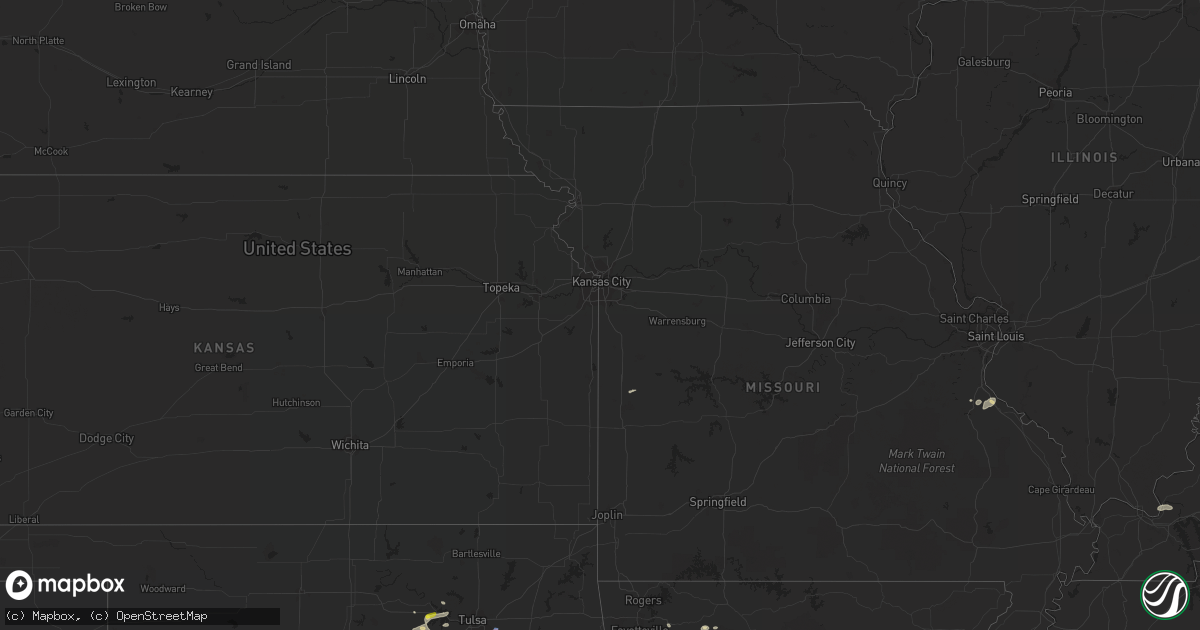
July 28 map
$229
one time, instant access
Download today. No call, no setup
Keep the $229
Bought the map and want the full workflow? Apply the entire $229 to a subscription within 7 days. None of it is wasted.
Every map, not just this one
This buys you this map. Subscription and you get every map we run, in the markets you choose from a few cities to whole states to nationwide. Plus real-time alerts the moment a storm fires.
Contact data
Name, contact info, occupancy, even credit band for addresses in the footprint. You go from where it hit to who to call.
Become the source they trust
Unlimited branding weather history reports on demand. You already have the documented answer ready for the property owner, and you are the one who showed up with it.
Property data and RoofTrace estimates
Pull up any address you have got, its value and the exact code rules for that jurisdiction, straight from One Click Code. Then RoofTrace estimates the squares, pitch, and roof value, priced the way you price.
Storm reports in Arkansas
Arkansas
| Date | Description |
|---|---|
| 07/28/20223:25 PM CDT | **delayed report** the press box was blown off of the bleachers at the biskmarck high school football field. Additional damage was done to a gas station awning off hwy |
| 07/28/20223:11 PM CDT | A local report indicates 1.00 inch wind near BISMARCK |
| 07/28/20223:11 PM CDT | Winds caused minor damage the southern bancorp building in bismarck. |
| 07/28/20222:48 PM CDT | Multiple trees were blown down on lower steel bend road. |
| 07/27/202210:09 PM CDT | At 309 PM CDT, a severe thunderstorm was located near DeGray Lake State Park, or 13 miles southwest of Hot Springs, moving east at 10 mph. HAZARD...60 mph wind gusts and quarter size hail. SOURCE...Radar indicated. IMPACT...Hail damage to vehicles is expected. Expect wind damage to roofs, siding, and trees. Locations impacted include... Caddo Valley... Lofton... DeGray Lake State Park... Donaldson... Friendship... Bismarck... Red Oak... De Roche... Lake Catherine State Park... Pettyview... Midway in Hot Spring County... Social Hill...This includes Interstate 30 between mile markers 80 and 91. |
| 07/27/20229:44 PM CDT | At 244 PM CDT, a severe thunderstorm was located near Estes, or 9 miles southeast of Downtown Little Rock, moving east at 10 mph. HAZARD...60 mph wind gusts and quarter size hail. SOURCE...Radar indicated. IMPACT...Hail damage to vehicles is expected. Expect wind damage to roofs, siding, and trees. Locations impacted include... Little Rock... North Little Rock... England... Wrightsville... Keo... Sweet Home... Estes... Meto... Toltec Mounds State Park... Scott... Baucum... Bevis Corner... Higgins... Bredlow Corner... Willow Beach... Toltec... Woodson... Kerr... Terry Lock and Dam... College Station...This includes the following highways... Interstate 40 between mile markers 166 and 168. Interstate 530 between mile markers 3 and 5. Interstate 440 between mile markers 5 and 6. |
| 07/27/20228:39 PM CDT | At 139 PM CDT, a severe thunderstorm was located near Rockport, or near Malvern, moving east at 10 mph. HAZARD...60 mph wind gusts and quarter size hail. SOURCE...Radar indicated. IMPACT...Hail damage to vehicles is expected. Expect wind damage to roofs, siding, and trees. Locations impacted include... Malvern... Haskell... Rockport... Traskwood... Tull... Prattsville... Poyen... Perla... Jenkins Ferry State Park... Belfast... Magnet Cove... Fenter... Gifford... Glen Rose... Buie... Shaw... Lake Catherine State Park... This includes Interstate 30 between mile markers 92 and 107. |
| 07/27/20228:20 PM CDT | At 120 PM CDT, a severe thunderstorm was located near Salem in Saline County, or near Benton, moving east at 30 mph. HAZARD...60 mph wind gusts and quarter size hail. SOURCE...Radar indicated. IMPACT...Hail damage to vehicles is expected. Expect wind damage to roofs, siding, and trees. Locations impacted include... Little Rock... Benton... West Little Rock... Bryant... Downtown Little Rock... Southwest Little Rock... Haskell... Shannon Hills... Otter Creek... East End... Geyer Springs... Mabelvale... Salem in Saline County... State Fairgrounds... Ironton... Alexander... Baseline... Bauxite... Avilla... Vimy Ridge...This includes the following highways... Interstate 30 between mile markers 111 and 136. Interstate 430 between mile markers 1 and 6. Interstate 630 between mile markers 2 and 7. |
All States Impacted by Hail Map on July 28, 2022
Cities Impacted by Hail Map on July 28, 2022
- Hurricane, UT
- Littlefield, AZ
- Wesley, AR
- Witter, AR
- Elkins, AR
- Fayetteville, AR
- Huntsville, AR
- Berryville, AR
- Compton, AR
- Franklin, TN
- Fairview, TN
- Nashville, TN
- Smithland, KY
- Tiline, KY
- Chandler, OK
- Wellston, OK
- Drumright, OK
- Yale, OK
- Evanston, IN
- Choctaw, OK
- Stigler, OK
- Keota, OK
- Wewoka, OK
- Nolensville, TN
- Arrington, TN
- Garrett, WY
- Sand Springs, OK
- Mannford, OK
- Muskogee, OK
- Happy, TX
- Rock River, WY
- Union City, OK
- Tuttle, OK
- Minco, OK
- Terlton, OK
- Jennings, OK
- Cleveland, OK
- Festus, MO
- De Soto, MO
- Hindsville, AR
- Texline, TX
- Brookport, IL
- Grand Rivers, KY
- Burna, KY
- Roy, NM
- Medicine Bow, WY
- West Fork, AR
- Holly Grove, AR
- Marvell, AR
- Spiro, OK
- Hockley, TX
- Cypress, TX
- College Grove, TN
- Oklahoma City, OK
- Spencer, OK
- Smithville, TN
- Warrenton, NC
- Earlsboro, OK
- Tecumseh, OK
- Shawnee, OK
- Laramie, WY
- Centennial, WY
- Las Vegas, NV
- Piney Flats, TN
- Kingsport, TN
- Henderson, NV
- Bristow, OK
- Bosler, WY
- Mcalester, OK
- Harrah, OK
- Luther, OK
- Meeker, OK
- Emporia, KS
- Waverly, KS
- Lebo, KS
- Scott, AR
- England, AR
- Little Rock, AR
- Cushing, OK
- Sparta, TN
- Cedar City, UT
- Stroud, OK
- Newalla, OK
- Holdenville, OK
- Wetumka, OK
- Benton, AR
- Maud, OK
- Seminole, OK
- Caliente, NV
- Magazine, AR
- Princess Anne, MD
- Nanticoke, MD
- Bivalve, MD
- Quantico, MD
- Tyaskin, MD
- Agra, OK
- Malvern, AR
- Jones, OK
- Tulia, TX
- Channing, TX
- Lockney, TX
- Silverton, TX
- Kingman, AZ
- Collierville, TN
- Boulder City, NV
- Bismarck, AR
- Butler, MO
- Bokoshe, OK
- Mccurtain, OK
- Donaldson, AR
- Porter, OK
- Bloomsdale, MO
- French Village, MO
- Mena, AR
- Broken Arrow, OK
- Paris, AR
- Mcminnville, TN
- Walling, TN
- Rock Island, TN
- Warwick, MA
- Winchester, NH
- Prue, OK
- Tucumcari, NM
- Conchas Dam, NM
- Neosho Rapids, KS
- Green Forest, AR
- Kingston, AR
- Dalhart, TX
- Tulsa, OK
- Corinth, NY
- Lake Luzerne, NY
- Hadley, NY
- Gainesville, NY
- Silver Springs, NY
- Bliss, NY
- Vega, TX
- Indian Springs, NV
- Searchlight, NV
- North Las Vegas, NV
- El Reno, OK
- Locke, NY
- McGraw, NY
- Lansing, NY
- Interlaken, NY
- Keuka Park, NY
- McDonough, NY
- Truxton, NY
- Hector, NY
- South Plymouth, NY
- Himrod, NY
- Prattsburgh, NY
- Homer, NY
- Branchport, NY
- De Ruyter, NY
- King Ferry, NY
- Pitcher, NY
- Trumansburg, NY
- Ithaca, NY
- Freeville, NY
- Cincinnatus, NY
- Cortland, NY
- South Otselic, NY
- Genoa, NY
- Groton, NY
- Penn Yan, NY
- North Pitcher, NY
- Lodi, NY
- Dundee, NY


