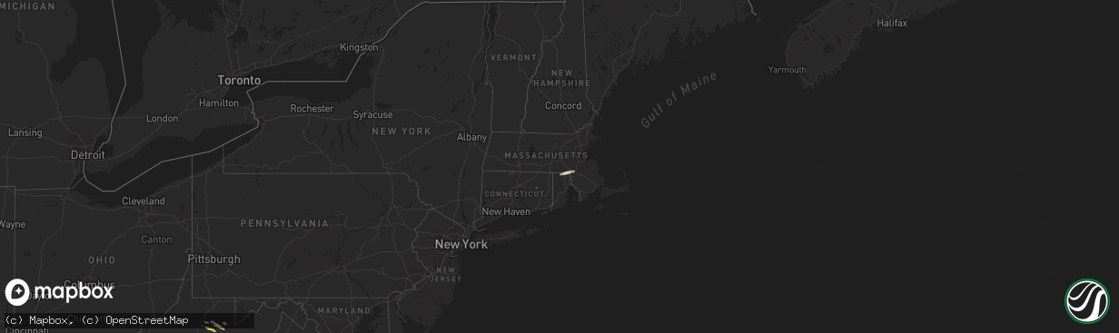
Hail Map in Rhode Island on September 28, 2021
The weather event in Rhode Island on September 28, 2021 includes Hail map. 8 states and 194 cities were impacted and suffered possible damage. The total estimated number of properties impacted is 0.
Want more than just the map?
Turn this storm into a full workflow.
- Owner + property data so you know who to knock
- OnDemand branded weather history reports to win the "did we even have hail?" argument
- RoofTrace estimate so reps stop guessing numbers at the door
Bought this map? Upgrade within 7 days and we'll credit the $230. (10-15 min setup call)
Hail
0
Estimated number of impacted properties by a 1.00" hail or larger0
Estimated number of impacted properties by a 1.75" hail or larger0
Estimated number of impacted properties by a 2.50" hail or largerStorm reports in Rhode Island
Rhode Island
| Date | Description |
|---|---|
| 09/28/202112:34 PM CDT | Wind gust measured in the watch hill section of westerly |
| 09/28/20214:29 AM CDT | At 928 AM EDT, a severe thunderstorm was located over Woonsocket, moving northeast at 35 mph. HAZARD...Quarter size hail. SOURCE...Radar indicated. IMPACT...Minor hail damage to vehicles is possible. Locations impacted include... Boston, Worcester, Quincy, Newton, Framingham, Waltham, Brookline, Weymouth, Arlington, Woonsocket, Braintree, Shrewsbury, Cumberland, Natick, Randolph, Watertown, Franklin, Lexington, Needham and North Attleborough. |
All States Impacted by Hail Map on September 28, 2021
Cities Impacted by Hail Map on September 28, 2021
- Belle Haven, VA
- Graford, TX
- Junction, TX
- Fredericksburg, TX
- Llano, TX
- Mason, TX
- Doss, TX
- Harper, TX
- Ruckersville, VA
- Stanardsville, VA
- Brady, TX
- Rochelle, TX
- Mullin, TX
- Weatherford, TX
- Lipan, TX
- Olney, TX
- Throckmorton, TX
- Newcastle, TX
- Evant, TX
- Bandera, TX
- Charlottesville, VA
- Scottsville, VA
- Dyke, VA
- Earlysville, VA
- Elkton, VA
- McGaheysville, VA
- Eagle Pass, TX
- La Pryor, TX
- Quemado, TX
- Crystal City, TX
- Sunset, TX
- Chico, TX
- Lometa, TX
- Philippi, WV
- Saint Jo, TX
- Nocona, TX
- Star, TX
- Hamilton, TX
- Goldthwaite, TX
- Overbrook, OK
- San Saba, TX
- Fredonia, TX
- Keswick, VA
- Granbury, TX
- Ranger, TX
- Burnet, TX
- Jacksboro, TX
- Strawn, TX
- Barboursville, VA
- Free Union, VA
- Ryan, OK
- Bluff Dale, TX
- Sweetwater, TX
- Roby, TX
- Sylvester, TX
- Wilson, OK
- Ringling, OK
- Bowie, TX
- Eldorado, TX
- Christoval, TX
- Henrietta, TX
- Windthorst, TX
- Quanah, TX
- Perrin, TX
- San Marcos, TX
- Wimberley, TX
- Fischer, TX
- Driftwood, TX
- Comanche, OK
- Odem, TX
- Terral, OK
- Moran, TX
- Cisco, TX
- Breckenridge, TX
- Woonsocket, RI
- Manville, RI
- North Smithfield, RI
- Plainville, MA
- Cumberland, RI
- Indiahoma, OK
- Cache, OK
- Bellevue, TX
- Foxboro, MA
- Mansfield, MA
- Montrose, WV
- Parsons, WV
- Grafton, WV
- Moatsville, WV
- Menard, TX
- North Windham, CT
- Canyon Lake, TX
- Spring Branch, TX
- Burneyville, OK
- Leon, OK
- Crozet, VA
- Sinton, TX
- Volga, WV
- Belington, WV
- San Antonio, TX
- Helotes, TX
- Graham, TX
- Tolar, TX
- Stephenville, TX
- Gustine, TX
- Dublin, TX
- Exmore, VA
- Rapidan, VA
- Radiant, VA
- Orange, VA
- Locust Dale, VA
- Duncan, OK
- Culpeper, VA
- Rhoadesville, VA
- Unionville, VA
- Hanksville, UT
- San Angelo, TX
- Baird, TX
- Cross Plains, TX
- Painter, VA
- Dilley, TX
- Colorado City, TX
- Kerrville, TX
- Taft, TX
- Mathis, TX
- Caddo, TX
- Boerne, TX
- Holliday, TX
- Coleman, TX
- North Attleboro, MA
- Wrentham, MA
- Lincoln, RI
- Snyder, OK
- Frederick, OK
- Palmyra, VA
- Troy, VA
- Muenster, TX
- Gordonsville, VA
- South Bend, TX
- Lampasas, TX
- Mitchells, VA
- Ardmore, OK
- Lawton, OK
- Brookesmith, TX
- Brownwood, TX
- Medina, TX
- Jermyn, TX
- Bryson, TX
- Bridgeport, TX
- Bronte, TX
- Harrisonburg, VA
- Vernon, TX
- Crowell, TX
- Richland Springs, TX
- Yorktown, TX
- Hunt, TX
- Hico, TX
- Salado, TX
- Gainesville, TX
- Marietta, OK
- Forestburg, TX
- Fulks Run, VA
- Lohn, TX
- Ringgold, TX
- Spicewood, TX
- Marble Falls, TX
- Leander, TX
- Loving, TX
- New Braunfels, TX
- Keezletown, VA
- Hacksneck, VA
- Leon, VA
- Reva, VA
- Brightwood, VA
- Aroda, VA
- Rochelle, VA
- Mount Clare, WV
- Ferron, UT
- Pontotoc, TX
- Voca, TX
- Robstown, TX
- Corpus Christi, TX
- Hockley, TX
- Broadway, VA
- Woodson, TX
- Bertram, TX
- Hendricks, WV
- Cape Charles, VA
- Machipongo, VA
- Locust Grove, VA
- Madison, VA
- Harrisville, RI
- Flemington, WV
- Bridgeport, WV
- Cedar Park, TX


