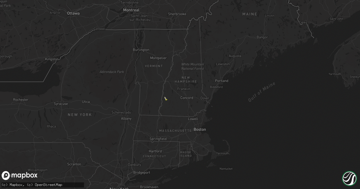
Hail Map in New Hampshire on August 5, 2025
Get this storm
August 5 map
$229
one time, instant access
Download today. No call, no setup
Keep the $229
Bought the map and want the full workflow? Apply the entire $229 to a subscription within 7 days. None of it is wasted.
Every map, not just this one
This buys you this map. Subscription and you get every map we run, in the markets you choose from a few cities to whole states to nationwide. Plus real-time alerts the moment a storm fires.
Contact data
Name, contact info, occupancy, even credit band for addresses in the footprint. You go from where it hit to who to call.
Become the source they trust
Unlimited branding weather history reports on demand. You already have the documented answer ready for the property owner, and you are the one who showed up with it.
Property data and RoofTrace estimates
Pull up any address you have got, its value and the exact code rules for that jurisdiction, straight from One Click Code. Then RoofTrace estimates the squares, pitch, and roof value, priced the way you price.
Storm reports in New Hampshire
New Hampshire
| Date | Description |
|---|---|
| 08/05/20255:35 PM CDT | East alstead volunteer firefighter: large tree down partially blocking forest rd in east alstead near hill pond farm. Time est. By radar. |
| 08/05/20255:30 PM CDT | Reported by amateur radio. |
| 08/05/20255:30 PM CDT | Tree down on an old barn along nh123a near forest road. Tree diameter 12-14 inches. |
| 08/05/20255:18 PM CDT | Tree down near new england museum of mines. Time estimated by radar. |
All States Impacted by Hail Map on August 5, 2025
Cities Impacted by Hail Map on August 5, 2025
- Harrison, NE
- Stratton, CO
- Burlington, CO
- Bethune, CO
- New Leipzig, ND
- Glen Ullin, ND
- Killdeer, ND
- Maywood, NE
- Curtis, NE
- North Platte, NE
- Elgin, ND
- Maxwell, NE
- Wellfleet, NE
- Almont, ND
- Indianola, NE
- Bartley, NE
- Moorefield, NE
- Brady, NE
- Hettinger, ND
- Flasher, ND
- Carson, ND
- Stockville, NE
- Davis, OK
- Lodgepole, SD
- Shields, ND
- Selfridge, ND
- McLaughlin, SD
- Farnam, NE
- Raleigh, ND
- Mandan, ND
- Solen, ND
- New Salem, ND
- Saint Anthony, ND
- Bullhead, SD
- Fort Yates, ND
- Wakpala, SD
- Strasburg, ND
- Linton, ND
- Arapahoe, NE
- Pollock, SD
- Mound City, SD
- Herreid, SD
- Hague, ND
- Center, ND
- Wilton, ND
- Jacksonville, FL
- Washburn, ND
- Jesup, GA
- Regan, ND
- Mercer, ND
- Labadieville, LA
- Thibodaux, LA
- Loxahatchee, FL
- Mcclusky, ND
- Fort Stewart, GA
- Steele, ND
- Dawson, ND
- Ishpeming, MI
- Robinson, ND
- Tappen, ND
- Savannah, GA
- Bloomingdale, GA
- Pooler, GA
- Port Wentworth, GA
- Rincon, GA
- Lehr, ND
- Streeter, ND
- Leola, SD
- Westport, SD
- Campo, CO
- Wishek, ND
- Pettibone, ND
- Medina, ND
- Long Lake, SD
- Barnard, SD
- Gackle, ND
- Fredonia, ND
- Ashley, ND
- Frederick, SD
- Ellendale, ND
- Kulm, ND
- Edgeley, ND
- Jud, ND
- Ariton, AL
- Pierson, FL
- Bunnell, FL
- De Leon Springs, FL
- Oakes, ND
- Gillette, WY
- Woodworth, ND
- Forbes, ND
- Deland, FL
- Orlando, FL
- Fullerton, ND
- Maitland, FL
- Winter Park, FL
- Casselberry, FL
- Edgemont, SD
- Eureka, SD
- Lake Helen, FL
- Cleveland, ND
- Pingree, ND
- Andover, SD
- Longwood, FL
- Altamonte Springs, FL
- Oviedo, FL
- Winter Springs, FL
- Sanford, FL
- Lake Mary, FL
- Deltona, FL
- Bristol, SD
- Custer, SD
- Hot Springs, SD
- Acworth, NH
- Alstead, NH
- South Acworth, NH
- Charlestown, NH
- Osteen, FL
- Hecla, SD
- Kissimmee, FL
- Saint Cloud, FL
- Westport, IN
- North Vernon, IN
- Lake Wales, FL
- Britton, SD
- Hosmer, SD
- Cogswell, ND
- Forman, ND
- Langford, SD
- Java, SD
- Selby, SD
- Pierpont, SD
- Webster, SD
- Bowdle, SD
- Hoven, SD
- Enochs, TX
- Sudan, TX
- Morton, TX
- Clark, SD
- Garden City, SD
- Bradley, SD
- Tolstoy, SD
- Iroquois, SD
- Roscoe, SD
- Wallace, SD
- De Smet, SD
- Carthage, SD
- Claremont, SD
- Onaka, SD
- Aberdeen, SD
- Ipswich, SD
- Oldham, SD
- Lake City, SD
- Florence, SD
- Pierre, SD
- Ramona, SD
- Lake Preston, SD
- Bath, SD
- Veblen, SD
- Sisseton, SD
- Eden, SD
- Watertown, SD
- Columbia, SD
- Peever, SD
- Grenville, SD
- Arlington, SD
- Groton, SD
- Gettysburg, SD
- Rutland, SD
- Volga, SD
- Cresbard, SD
- Wentworth, SD
- Brookings, SD
- Colman, SD
- Flandreau, SD
- Sinai, SD
- Lebanon, SD
- Castlewood, SD
- Onida, SD
- Aurora, SD
- Faulkton, SD
- Portal, ND
- Nunda, SD
- Highmore, SD
- Rockham, SD
- Orient, SD
- Miller, SD
- Redfield, SD
- Henry, SD
- Hazel, SD
- Hayti, SD
- Goodwin, SD
- Kranzburg, SD
- Flaxton, ND
- Lignite, ND
- Elkton, SD
- Tulare, SD
- Clear Lake, SD
- Strandburg, SD
- Gary, SD
- Estelline, SD
- Lake Norden, SD
- Ashton, SD
- Ruthton, MN
- Bowbells, ND
- Pipestone, MN
- Raymond, SD
- Stanley, ND
- Palermo, ND
- Hitchcock, SD
- Frankfort, SD
- Marietta, MN
- Canby, MN
- Toronto, SD
- Brandt, SD
- Bruce, SD
- Erwin, SD
- Bryant, SD
- Doland, SD
- Tyler, MN
- Vienna, SD
- Badger, SD
- Hartford, SD
- Sioux Falls, SD
- Renner, SD
- Crooks, SD
- Huron, SD
- Willow Lake, SD
- Carpenter, SD
- Yale, SD
- Holland, MN
- Hendricks, MN
- White, SD
- Astoria, SD
- Madison, SD
- Saint Lawrence, SD
- Cavour, SD
- Howard, SD
- Winfred, SD
- Ivanhoe, MN
- Lake Benton, MN
- Artesian, SD
- Edgerton, MN
- Woodstock, MN
- Wessington, SD
- Fedora, SD
- Lake Wilson, MN
- Chandler, MN
- Wolsey, SD
- Slayton, MN
- Iona, MN
- Wilmont, MN
- Canova, SD
- Lismore, MN
- Spencer, SD
- Adrian, MN
- Rushmore, MN
- Reading, MN
- Virgil, SD
- Fulda, MN
- Alpena, SD
- Salem, SD
- Worthington, MN
- Bigelow, MN
- Woonsocket, SD
- Wessington Springs, SD
- Bridgewater, SD
- Plankinton, SD
- Rock Valley, IA
- Round Lake, MN
- Rock Rapids, IA
- Ashton, IA
- George, IA
- Harris, IA
- Sibley, IA
- White Lake, SD
- Kimball, SD
- Melvin, IA
- Ocheyedan, IA
- Mount Vernon, SD
- Sheldon, IA
- Sioux Center, IA
- Hull, IA
- Viborg, SD
- Freeman, SD
- Lake Park, IA
- Archer, IA
- Maurice, IA
- Spirit Lake, IA
- Primghar, IA
- Sanborn, IA
- Hartley, IA
- Milford, IA
- Paullina, IA
- Corsica, SD
- Dimock, SD
- Ethan, SD
- Holstein, IA
- Everly, IA
- Marcus, IA
- Sutherland, IA
- Meriden, IA
- Cleghorn, IA
- Cherokee, IA
- Armour, SD
- Spencer, IA
- Okoboji, IA
- Alta, IA
- Aurelia, IA
- Peterson, IA
- Larrabee, IA
- Fostoria, IA
- Wagner, SD
- Delmont, SD
- Dante, SD
- Storm Lake, IA
- Linn Grove, IA
- Schaller, IA
- Tabor, SD
- Battle Creek, IA
- Odebolt, IA
- Early, IA
- Niobrara, NE
- Arthur, IA
- Verdigre, NE
- Creighton, NE
- Orchard, NE
- Winnetoon, NE
- Royal, NE
- Brunswick, NE
- Plainview, NE
- Neligh, NE
- Springfield, SD
- Tyndall, SD
- West Point, NE
- Dodge, NE
- Missouri Valley, IA
- Modale, IA
- Blair, NE
- Scribner, NE
- Howells, NE
- Clarkson, NE
- Logan, IA
- Hooper, NE
- Snyder, NE
- Nickerson, NE
- Fremont, NE
- Utica, SD
- Menno, SD
- Arlington, NE
- Gregory, SD
- North Bend, NE
- Fort Calhoun, NE
- Omaha, NE
- Morse Bluff, NE
- Cedar Bluffs, NE
- Hamill, SD
- Kennard, NE
- Burke, SD
- Prague, NE
- Jasper, MN


