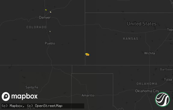
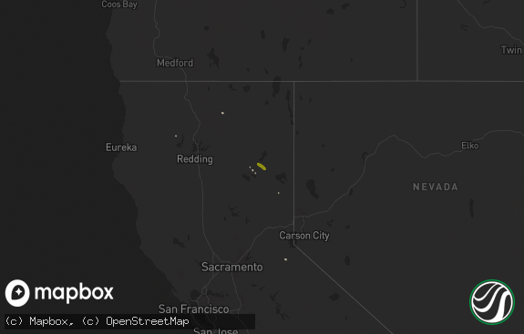
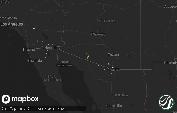
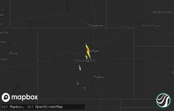
Hail Map in Nevada on July 29, 2018
The weather event in Nevada on July 29, 2018 includes Hail map. 25 states and 456 cities were impacted and suffered possible damage. The total estimated number of properties impacted is 0.

Hail
0
Estimated number of impacted properties by a 1.00" hail or larger0
Estimated number of impacted properties by a 1.75" hail or larger0
Estimated number of impacted properties by a 2.50" hail or largerStorm reports in Nevada
Nevada
| Date | Description |
|---|---|
| 07/29/20185:15 PM CDT | Public report of quarter size hail via social media in red rock canyon national park. Time estimated from radar. |
| 07/28/20189:55 PM CDT | At 254 PM PDT, a severe thunderstorm was located over Spring Mountain Ranch, or near Blue Diamond, and is nearly stationary. HAZARD...60 mph wind gusts. SOURCE...Radar indicated. IMPACT...Expect damage to roofs and trees. Locations impacted include... Blue Diamond, Red Rock Canyon, Enterprise, Summerlin, and Spring Mountain Ranch. |
All States Impacted by Hail Map on July 29, 2018
Cities Impacted by Hail Map on July 29, 2018
- Miami, TX
- Hartford, AR
- Huntington, AR
- Greeley, CO
- La Salle, CO
- Evans, CO
- Weldona, CO
- Orchard, CO
- Lawton, OK
- Carnegie, OK
- Limon, CO
- Genoa, CO
- Woodrow, CO
- Bosler, WY
- Garrett, WY
- Hammon, OK
- Pleasanton, NE
- Mason City, NE
- Amherst, NE
- Kingfisher, OK
- Okarche, OK
- Watonga, OK
- Omega, OK
- Buford, WY
- Rock River, WY
- Granite Canon, WY
- Tie Siding, WY
- Laramie, WY
- Livermore, CO
- Kyle, SD
- Torrington, WY
- Belvidere, SD
- Eads, CO
- Arriba, CO
- Manter, KS
- Granada, CO
- Hugoton, KS
- Sheridan Lake, CO
- Akron, CO
- Kit Carson, CO
- Cope, CO
- Guymon, OK
- Anton, CO
- Holly, CO
- Vona, CO
- Cheyenne Wells, CO
- Flagler, CO
- Syracuse, KS
- Seibert, CO
- Lindon, CO
- Johnson, KS
- Richfield, KS
- Rolla, KS
- Belle Fourche, SD
- Wheatland, WY
- Cheyenne, WY
- Rush, CO
- Agate, CO
- Seiling, OK
- Longdale, OK
- Canton, OK
- Lusk, WY
- Manzanola, CO
- Rocky Ford, CO
- Edgemont, SD
- Snyder, CO
- Merino, CO
- Boone, CO
- Olney Springs, CO
- Fowler, CO
- Sargent, NE
- Walsh, CO
- Branson, CO
- Eunice, LA
- Merriman, NE
- Martin, SD
- Allen, SD
- Wanblee, SD
- Porcupine, SD
- Clifton, AZ
- Casper, WY
- Fort Collins, CO
- Laverne, OK
- Milton, FL
- Fairview, OK
- Okeene, OK
- Isabella, OK
- Ringwood, OK
- Cleo Springs, OK
- Weatherford, OK
- Thomas, OK
- Custer City, OK
- Eaton, CO
- Arnett, OK
- Wayne, OK
- Little River, AL
- Lexington, NE
- Elwood, NE
- Bertrand, NE
- Smithfield, NE
- Batchelor, LA
- Albin, WY
- Hawk Springs, WY
- Meriden, WY
- Yoder, WY
- Lagrange, WY
- Franklinton, LA
- Denhoff, ND
- Burns, WY
- Hillsdale, WY
- Alva, OK
- Waynoka, OK
- Shawnee, OK
- Mcloud, OK
- Tecumseh, OK
- Fort Supply, OK
- Buffalo, OK
- Stringtown, OK
- Rocky Ford, GA
- Sylvania, GA
- Deer Trail, CO
- Jay Em, WY
- Apache, OK
- Metter, GA
- Pine Bluffs, WY
- Aline, OK
- Kiowa, CO
- Oelrichs, SD
- Chadron, NE
- Rapid City, SD
- Amado, AZ
- Taloga, OK
- Bloomburg, TX
- Texarkana, TX
- Doddridge, AR
- Globe, AZ
- Miami, AZ
- Windsor, CO
- New Raymer, CO
- Grover, CO
- Nunn, CO
- Fountain, FL
- Clayton, NM
- Otis, CO
- Deadwood, SD
- Spearfish, SD
- Lead, SD
- Capitol, MT
- Coolidge, KS
- Trinidad, CO
- Maysville, OK
- Lelia Lake, TX
- Hedley, TX
- Jeffrey City, WY
- Anadarko, OK
- Fort Cobb, OK
- Carpenter, WY
- Brush, CO
- Stoneham, CO
- Fort Morgan, CO
- Hillrose, CO
- Elkhart, KS
- Model, CO
- Yoder, CO
- Simla, CO
- Lander, WY
- Byers, CO
- Strasburg, CO
- Fort Huachuca, AZ
- Pingree, ND
- Calhan, CO
- Bennett, CO
- Ramah, CO
- Woodworth, ND
- Bark River, MI
- Cheyenne, OK
- Burkeville, TX
- Rogers City, MI
- Newell, SD
- Stratton, CO
- Bethune, CO
- Hydro, OK
- Corn, OK
- Harrisburg, NE
- Ault, CO
- Briggsdale, CO
- Saint Onge, SD
- Stamford, NE
- Long Island, KS
- Beaver City, NE
- Almena, KS
- Bowie, AZ
- Willcox, AZ
- San Simon, AZ
- Olla, LA
- Aimwell, LA
- Valentine, NE
- Lamar, CO
- Keenesburg, CO
- Platteville, CO
- Gilcrest, CO
- Loveland, CO
- Wellington, CO
- Severance, CO
- Kersey, CO
- Roggen, CO
- Hudson, CO
- Milliken, CO
- Johnstown, CO
- Lucerne, CO
- Elbert, CO
- Laporte, CO
- Colorado Springs, CO
- Livingston, LA
- Holden, LA
- Bellvue, CO
- Stonewall, OK
- Tupelo, OK
- Milburn, OK
- Clarendon, TX
- Plain Dealing, LA
- Atmore, AL
- Chester, OK
- Oakwood, OK
- Taylor, AR
- Hill City, SD
- Elfrida, AZ
- Inez, KY
- Crookston, MN
- Euclid, MN
- Pueblo, CO
- Fountain, CO
- May, OK
- Patterson, LA
- Dacoma, OK
- Amistad, NM
- Buffalo Gap, SD
- Custer, SD
- Marion, LA
- Oklahoma City, OK
- Red Feather Lakes, CO
- Centennial, WY
- Purcell, OK
- Buffalo, SD
- Silverton, TX
- Century, FL
- Minden, NE
- Kearney, NE
- Shattuck, OK
- Vilas, CO
- Two Buttes, CO
- Springfield, CO
- Hitchcock, OK
- Claypool, AZ
- Chugwater, WY
- Breeden, WV
- Harts, WV
- Dunlow, WV
- Wilsondale, WV
- Rudyard, MI
- Kinross, MI
- Keyes, OK
- Smithwick, SD
- Litchville, ND
- Belfield, ND
- McDavid, FL
- Elgin, AZ
- Wetumka, OK
- Holdenville, OK
- Cope, SC
- Orangeburg, SC
- Hot Springs, SD
- Robeline, LA
- Hennessey, OK
- Arcadia, NE
- Westerville, NE
- Ansley, NE
- Comstock, NE
- Campo, CO
- Sturgis, SD
- Nemo, SD
- Whitewood, SD
- Calumet, OK
- Anamoose, ND
- Woodville, MS
- Hooker, OK
- Detroit Lakes, MN
- Hereford, AZ
- Bushnell, NE
- Benson, AZ
- Hazard, NE
- Riverdale, NE
- Manville, WY
- Boise City, OK
- Oral, SD
- Pine Ridge, SD
- Cottonport, LA
- Plaucheville, LA
- Thermopolis, WY
- Coldwater, KS
- Leopolis, WI
- Lahoma, OK
- Enid, OK
- Konawa, OK
- Prairie View, KS
- Oxford, NE
- Enterprise, AL
- Pavillion, WY
- Riverton, WY
- Shoshoni, WY
- Bradley, OK
- Chireno, TX
- Stephenson, MI
- Natchitoches, LA
- Las Vegas, NV
- Blue Diamond, NV
- Fargo, OK
- El Reno, OK
- Gruver, TX
- Perryton, TX
- Hardesty, OK
- Spearman, TX
- Goodwell, OK
- Tuttle, OK
- Seminole, OK
- Lindsay, OK
- Marksville, LA
- Tishomingo, OK
- Jean, NV
- Lost Springs, WY
- Lance Creek, WY
- Norman, OK
- Pittsburg, OK
- Forgan, OK
- Alex, OK
- Amber, OK
- Blanchard, OK
- Honobia, OK
- Memphis, TX
- Broken Bow, OK
- Colony, OK
- Mena, AR
- Leedey, OK
- Yukon, OK
- Chipley, FL
- Sells, AZ
- Muldrow, OK
- Mountain View, OK
- Lake Charles, LA
- Heartwell, NE
- Louisa, KY
- Macomb, OK
- Brimley, MI
- Dafter, MI
- Booker, TX
- Warren, MN
- Wewoka, OK
- Doerun, GA
- Sasakwa, OK
- Lookeba, OK
- Kadoka, SD
- Long Valley, SD
- Sweetwater, OK
- Reydon, OK
- Cut Off, LA
- Harrisville, MI
- Newcastle, OK
- Washington, OK
- Helena, OK
- Goltry, OK
- Grenville, NM
- Folsom, NM
- Blair, OK
- Edison, NE
- Westlake, LA
- Sulphur, LA
- Garrison, ND
- Millen, GA
- Douglassville, TX
- Cozad, NE
- Ashland, KS
- Dawson, ND
- Rosston, OK
- Green Valley, AZ
- Tumacacori, AZ
- Tickfaw, LA
- Beaver, OK
- Jefferson, TX
- Vivian, LA
- Jeanerette, LA
- Minatare, NE
- Broken Bow, NE
- Woodward, OK
- Wapanucka, OK
- Fairmont, OK
- Mooreland, OK
- Sharon, OK
- Joes, CO
- Pauls Valley, OK
- Byars, OK
- Cary, NC
- Silsbee, TX
- Pampa, TX
- Opelousas, LA
- Gage, OK
- Sault Sainte Marie, MI
- Pickford, MI
- Meno, OK
- Trout, LA
- Cordell, OK
- Nacogdoches, TX
- Longville, LA
- Presho, SD
- Draper, SD
- Wood, SD
- Shreveport, LA
- Ames, OK
- Carmen, OK
- Church Point, LA
- Crestone, CO
- Animas, NM
- Follett, TX
- Scenic, SD
- Kingsland, GA
- Matheson, CO
- Union Center, SD
- Sublette, KS
- Olar, SC
- Tombstone, AZ
- Oberlin, LA
- Kinder, LA
- Union City, OK
- Cherokee, OK
- Ninnekah, OK
- Rush Springs, OK
- Eros, LA
- Calhoun, LA
- Glendo, WY
- Quitman, GA
- Briscoe, TX
- Vancleave, MS
- Singer, LA
- Maud, OK
- Mikado, MI
- Lake City, KS
- Scottsbluff, NE
- Balko, OK
- Hermosa, SD
- Callaway, NE
- Bairoil, WY
- Fe Warren Afb, WY
- Hanna, WY
- Pierce, CO
- Carr, CO
- Timnath, CO
- Hugo, CO


