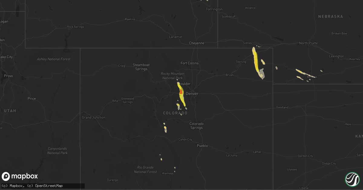
Hail Map on August 23, 2025
Get this storm
August 23 map
$229
one time, instant access
Download today. No call, no setup
Keep the $229
Bought the map and want the full workflow? Apply the entire $229 to a subscription within 7 days. None of it is wasted.
Every map, not just this one
This buys you this map. Subscription and you get every map we run, in the markets you choose from a few cities to whole states to nationwide. Plus real-time alerts the moment a storm fires.
Contact data
Name, contact info, occupancy, even credit band for addresses in the footprint. You go from where it hit to who to call.
Become the source they trust
Unlimited branding weather history reports on demand. You already have the documented answer ready for the property owner, and you are the one who showed up with it.
Property data and RoofTrace estimates
Pull up any address you have got, its value and the exact code rules for that jurisdiction, straight from One Click Code. Then RoofTrace estimates the squares, pitch, and roof value, priced the way you price.
States Impacted by Hail Map on August 23, 2025
Storm reports
Colorado
| Date | Description |
|---|---|
| 08/23/20256:02 PM CDT | A local report indicates 1.00 inch wind near 1 SSE Conifer |
| 08/23/20255:58 PM CDT | A local report indicates 1.00 inch wind near 1 W Conifer |
| 08/23/20255:58 PM CDT | (b |
| 08/23/20255:57 PM CDT | A local report indicates 1.50 inch wind near 2 W Aspen Park |
| 08/23/20255:10 PM CDT | A local report indicates 1.00 inch wind near 4 NNE Floyd Hill |
| 08/23/20254:44 PM CDT | Report from mping: quarter |
Florida
| Date | Description |
|---|---|
| 08/23/20254:15 PM CDT | Public report on social media of a tree down on townsend rd near blanding blvd. Some power outages also occurred near the area. Time estimated via radar. |
Arizona
| Date | Description |
|---|---|
| 08/23/20256:44 PM CDT | Weather underground site kazgolde82 reported a thunderstorm wind gust to 65 mph. |
| 08/23/20256:05 PM CDT | Several large tree branches down on andy devine and airway. |
| 08/23/20255:45 PM CDT | Downed service poles and trees in northeast kingman. |
| 08/23/20255:25 PM CDT | Asos station kigm kingman airport with visibility reduced to 0.25 miles in blowing dust. |
| 08/22/202511:00 PM CDT | Social media photos show damage to docks and boats in katherine landing. Time estimated from nearby wind sensors. |
| 08/22/202510:52 PM CDT | The laughlin-bullhead airport had a wind gust to 68 mph. |
Nevada
| Date | Description |
|---|---|
| 08/23/20256:28 PM CDT | Mesonet station tornv 9.8 ne trinity junction |
California
| Date | Description |
|---|---|
| 08/23/202510:50 AM CDT | Mesonet station se331 llano |
Cities Impacted by Hail Map on August 23, 2025
- Pearblossom, CA
- Llano, CA
- Littlerock, CA
- Bailey, CO
- Saguache, CO
- Center, CO
- Nederland, CO
- Boulder, CO
- Ward, CO
- Jamestown, CO
- Shawnee, CO
- Truckee, CA
- Black Hawk, CO
- Rollinsville, CO
- Golden, CO
- Evergreen, CO
- Conifer, CO
- Kittredge, CO
- Morrison, CO
- Pine, CO
- Buffalo Creek, CO
- Sedalia, CO
- Stennis Space Center, MS
- Bay Saint Louis, MS
- Goodells, MI
- Hartsel, CO
- Buena Vista, CO
- Fairhope, AL
- Lodgepole, NE
- Chappell, NE
- Bullhead City, AZ
- Laughlin, NV
- Golden Valley, AZ
- Searchlight, NV
- Crook, CO
- Holyoke, CO
- Haxtun, CO
- Sedgwick, CO
- Paoli, CO
- Fleming, CO
- Champion, NE
- Yuma, CO
- Palisade, NE
- Hayes Center, NE
- Wray, CO
- Glendo, WY
- Culbertson, NE
- Eckley, CO
- Trenton, NE
- Stratton, NE
- Hartville, WY
- McCook, NE
- Jay Em, WY
- Fort Laramie, WY
- Torrington, WY
- Harrison, NE
- Indianola, NE
- Moorefield, NE
- Stockville, NE
- Crawford, NE
- Kingman, AZ
- Chloride, AZ
- Alliance, NE
- Hemingford, NE
- Ellsworth, NE