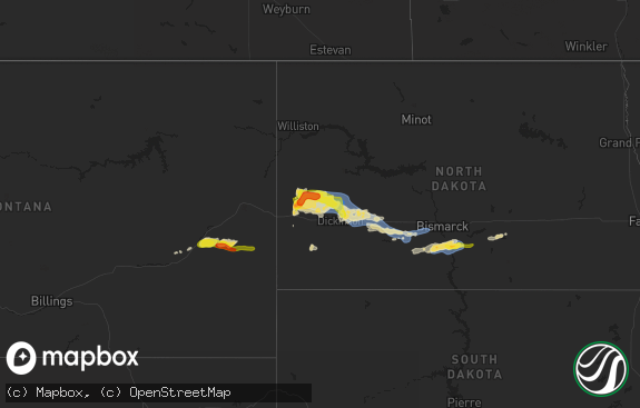
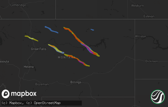
Hail Map in Ohio on May 24, 2017
The weather event in Ohio on May 24, 2017 includes Hail map. 10 states and 86 cities were impacted and suffered possible damage. The total estimated number of properties impacted is 0.

Hail
0
Estimated number of impacted properties by a 1.00" hail or larger0
Estimated number of impacted properties by a 1.75" hail or larger0
Estimated number of impacted properties by a 2.50" hail or largerStorm reports in Ohio
Ohio
| Date | Description |
|---|---|
| 05/24/20176:55 PM CDT | Based on radar data... Video evidence and eyewitness reports...the tornado appeared to briefly touch down in a farm field. |
| 05/23/20179:09 PM CDT | Trees and powerlines reported down near intersection of deweese rd. And peterson rd. Time estimated by radar. Possible tornado. |
| 05/23/20179:09 PM CDT | Nws storm survey confirmed a tornado southeast of piqua in miami county. Tree damage was observed along deweese road and a barn was moved several inches off its foundat |
| 05/23/20178:28 PM CDT | Two homes reported with some structural damage. Time estimated by radar. Possible tornado. |
| 05/23/20178:19 PM CDT | Trees and powerlines down along bellefontaine rd. Between us 40 and palmer road. Time estimated by radar. Possible tornado. |
| 05/23/20178:16 PM CDT | Nws storm survey confirmed a tornado near park layne in clark and miami counties. Structural and tree damage was observed on western side of park layne with additional |
| 05/23/20178:16 PM CDT | Nws storm survey confirmed a tornado near park layne in clark and miami counties. Structural and tree damage was observed on western side of park layne with additional |
| 05/23/20178:16 PM CDT | Nws storm survey confirmed a tornado near park layne in clark and miami counties. Structural and tree damage was observed on western side of park layne with additional |
| 05/23/20178:15 PM CDT | Nws storm survey confirmed a tornado near medway in clark county. Several manufactured homes sustained roof and siding damage along with several carports and awnings de |
| 05/23/20178:13 PM CDT | Damage observed at a sunoco gas station just south of styer drive. Nearby roof damage at grocery store. Time estimated by radar. Possible tornado. |
| 05/23/20178:07 PM CDT | Nws storm survey confirmed a tornado near medway in clark and green counties. Several manufactured homes sustained roof and siding damage along with several carports an |
| 05/23/20177:53 PM CDT | Several trees down along a portion of dayton yellowsprings rd near fairborn. Time estimated by radar. Possible tornado. |
| 05/23/20177:28 PM CDT | Several trees and powerlines down near intersection of dayton xenia rd and trebein rd. Time estimated by radar. Possible tornado. |
| 05/23/20177:27 PM CDT | Based on radar data... Video evidence and eyewitness reports... The tornado appeared to first touch down about 3 miles wsw of octa in extreme western fayette county. Th |
| 05/23/20177:26 PM CDT | Small tree damage and minor branch damage. Video from social media showed tornado circulation crossing route 35 west of xenia. Additional damage further north of 35 alo |
| 05/23/20177:11 PM CDT | Nws survey confirms high-end ef1 tornado...max width 100 yds...starting in ironton heading ne-ward |
| 05/23/20177:10 PM CDT | Fire department employee posted a video which the lawrence county em shared with us showing extensive damage along a path along county road 21. Possible tornado which a |
| 05/23/20177:08 PM CDT | Large tree down at the lawrence county... Ohio court house. |
| 05/23/20177:08 PM CDT | Tree on house. |
| 05/23/20177:01 PM CDT | Tree on house. |
| 05/23/20177:00 PM CDT | Tree on house. |
| 05/23/20177:00 PM CDT | Fire department employee posted a video which the lawrence county em shared with us showing extensive damage along a path along county road 21. Possible tornado which a |
All States Impacted by Hail Map on May 24, 2017
Cities Impacted by Hail Map on May 24, 2017
- Camilla, GA
- Albany, GA
- Newton, GA
- Science Hill, KY
- Nancy, KY
- Chapmanville, WV
- Lenore, WV
- Dingess, WV
- Harts, WV
- Ridge Spring, SC
- Elkhorn City, KY
- Clintwood, VA
- Haysi, VA
- Lebanon, TN
- Riddleton, TN
- Hartsville, TN
- Dixon Springs, TN
- Wadesboro, NC
- Eubank, KY
- Somerset, KY
- Alamo, GA
- Tompkinsville, KY
- Moss, TN
- Hestand, KY
- Burkesville, KY
- Celina, TN
- Aiken, SC
- Batesburg, SC
- Graniteville, SC
- Monetta, SC
- Corinne, UT
- Williamson, WV
- McRae Helena, GA
- Terrace Park, OH
- Cincinnati, OH
- Glenwood, GA
- Clarksville, OH
- Lyons, GA
- Rhine, GA
- Abbeville, GA
- Poulan, GA
- Sylvester, GA
- Sumner, GA
- Blanchester, OH
- Whitleyville, TN
- Jacksonville, GA
- Uvalda, GA
- Lumber City, GA
- Mount Vernon, GA
- Ailey, GA
- Milford, OH
- Albany, KY
- Jamestown, KY
- Red Boiling Springs, TN
- Lafayette, TN
- Pleasant Shade, TN
- Carthage, TN
- Morrow, OH
- Fitzgerald, GA
- Chula, GA
- Rebecca, GA
- Sycamore, GA
- Melbourne, KY
- North Augusta, SC
- Brodhead, KY
- Mount Vernon, KY
- Ranger, GA
- South Lebanon, OH
- Lebanon, OH
- Baconton, GA
- Big Rock, VA
- Breaks, VA
- Crab Orchard, KY
- Fedscreek, KY
- Watertown, TN
- Tifton, GA
- Ashburn, GA
- Ty Ty, GA
- Milan, GA
- Edmonton, KY
- Beaumont, KY
- Summer Shade, KY
- Orlando, FL
- Winter Park, FL
- Forsyth, GA
- Leesville, SC


