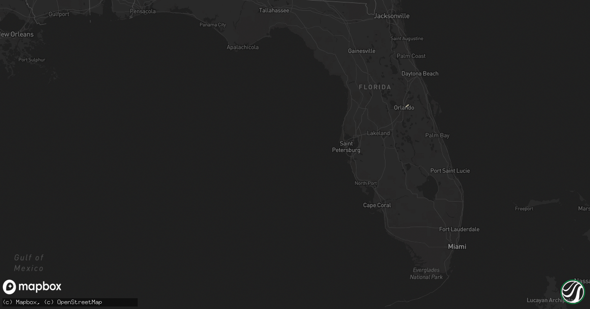
Hail Map in Florida on May 24, 2017
Get this storm
May 24 map
$229
one time, instant access
Download today. No call, no setup
Keep the $229
Bought the map and want the full workflow? Apply the entire $229 to a subscription within 7 days. None of it is wasted.
Every map, not just this one
This buys you this map. Subscription and you get every map we run, in the markets you choose from a few cities to whole states to nationwide. Plus real-time alerts the moment a storm fires.
Contact data
Name, contact info, occupancy, even credit band for addresses in the footprint. You go from where it hit to who to call.
Become the source they trust
Unlimited branding weather history reports on demand. You already have the documented answer ready for the property owner, and you are the one who showed up with it.
Property data and RoofTrace estimates
Pull up any address you have got, its value and the exact code rules for that jurisdiction, straight from One Click Code. Then RoofTrace estimates the squares, pitch, and roof value, priced the way you price.
Storm reports in Florida
Florida
| Date | Description |
|---|---|
| 05/24/20176:58 PM CDT | A thunderstorm produced a wind gust of 61 mph at cypress bay high school |
| 05/24/20172:47 PM CDT | An intense thunderstorm moved northeast along i-4 in central orange county and produced several reports of minor wind damage in and around the city of orlando. A gas st |
| 05/24/20172:05 PM CDT | Emergency manager reported multiple trees down on the corner of north parsons ave and windhorst road. |
| 05/24/20171:55 PM CDT | A small but intense thunderstorm produced sporadic wind damage over northwest orange county. Several trees and large branches were reported downed by wekiwa springs sta |
| 05/24/20171:48 PM CDT | Emergency manager reported a large tree fell on a house causing minor damage on the 2200 block of 57th east in bradenton. |
| 05/24/20171:47 PM CDT | Ham radio operator reported large tree down in the oneco area. |
| 05/24/20171:31 PM CDT | Media relayed electric company report of powerlines down on scenic drive. Time estimated from radar. |
| 05/24/20171:15 PM CDT | A metal flat roof peeled back over a lanai. No damage to nearby trees. Winds estimated 50 mph. |
| 05/24/201711:23 AM CDT | Law enforcement reported numerous trees down across levy county. Time estimated by radar. |
| 05/24/20179:54 AM CDT | Fallen trees or limbs resulted in a power outage on the southeast side of mayo. |
| 05/24/20178:53 AM CDT | Fallen trees or limbs resulted in a power outage on the east side of monticello |
| 05/23/20177:07 PM CDT | An off duty nws employee reported a few medium sized trees down on 196 avenue between griffin road and sheridan street due to wind gust from thunderstorms. Time estimat |
| 05/23/20177:06 PM CDT | An off duty nws employee reported a tree down due to wind gusts from a thunderstorm. |
All States Impacted by Hail Map on May 24, 2017
Cities Impacted by Hail Map on May 24, 2017
- Camilla, GA
- Albany, GA
- Newton, GA
- Science Hill, KY
- Nancy, KY
- Chapmanville, WV
- Lenore, WV
- Dingess, WV
- Harts, WV
- Ridge Spring, SC
- Elkhorn City, KY
- Clintwood, VA
- Haysi, VA
- Lebanon, TN
- Riddleton, TN
- Hartsville, TN
- Dixon Springs, TN
- Wadesboro, NC
- Eubank, KY
- Somerset, KY
- Alamo, GA
- Tompkinsville, KY
- Moss, TN
- Hestand, KY
- Burkesville, KY
- Celina, TN
- Aiken, SC
- Batesburg, SC
- Graniteville, SC
- Monetta, SC
- Corinne, UT
- Williamson, WV
- McRae Helena, GA
- Terrace Park, OH
- Cincinnati, OH
- Glenwood, GA
- Clarksville, OH
- Lyons, GA
- Rhine, GA
- Abbeville, GA
- Poulan, GA
- Sylvester, GA
- Sumner, GA
- Blanchester, OH
- Whitleyville, TN
- Jacksonville, GA
- Uvalda, GA
- Lumber City, GA
- Mount Vernon, GA
- Ailey, GA
- Milford, OH
- Albany, KY
- Jamestown, KY
- Red Boiling Springs, TN
- Lafayette, TN
- Pleasant Shade, TN
- Carthage, TN
- Morrow, OH
- Fitzgerald, GA
- Chula, GA
- Rebecca, GA
- Sycamore, GA
- Melbourne, KY
- North Augusta, SC
- Brodhead, KY
- Mount Vernon, KY
- Ranger, GA
- South Lebanon, OH
- Lebanon, OH
- Baconton, GA
- Big Rock, VA
- Breaks, VA
- Crab Orchard, KY
- Fedscreek, KY
- Watertown, TN
- Tifton, GA
- Ashburn, GA
- Ty Ty, GA
- Milan, GA
- Edmonton, KY
- Beaumont, KY
- Summer Shade, KY
- Orlando, FL
- Winter Park, FL
- Forsyth, GA
- Leesville, SC


