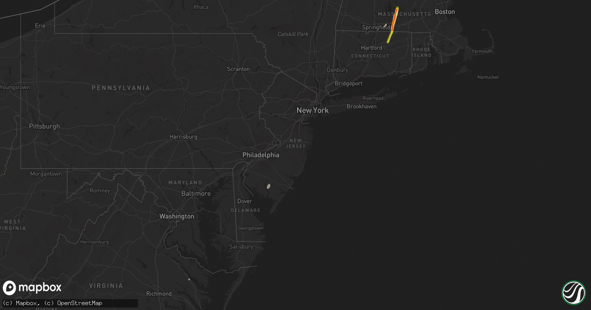
Hail Map in New Jersey on April 26, 2019
Get this storm
April 26 map
$229
one time, instant access
Download today. No call, no setup
Keep the $229
Bought the map and want the full workflow? Apply the entire $229 to a subscription within 7 days. None of it is wasted.
Every map, not just this one
This buys you this map. Subscription and you get every map we run, in the markets you choose from a few cities to whole states to nationwide. Plus real-time alerts the moment a storm fires.
Contact data
Name, contact info, occupancy, even credit band for addresses in the footprint. You go from where it hit to who to call.
Become the source they trust
Unlimited branding weather history reports on demand. You already have the documented answer ready for the property owner, and you are the one who showed up with it.
Property data and RoofTrace estimates
Pull up any address you have got, its value and the exact code rules for that jurisdiction, straight from One Click Code. Then RoofTrace estimates the squares, pitch, and roof value, priced the way you price.
Storm reports in New Jersey
New Jersey
| Date | Description |
|---|---|
| 04/26/20195:19 PM CDT | Small trees and power lines down. Images shared with us on social media. Time estimated from radar. |
| 04/26/20195:17 PM CDT | Large tree down in park. Time estimated from radar. |
| 04/26/20195:12 PM CDT | Tree split and into wires on bayshore road. Time estimated from radar. |
| 04/26/20195:10 PM CDT | Trees and large limbs reported to be down and to have knocked out power lines. Time estimated from radar. |
| 04/26/20194:55 PM CDT | Sporadic tree damage in maple shade twp. One downed tree blocked several lanes of state highway 38 for a time. Time estimated by radar. |
| 04/26/20194:51 PM CDT | Reports of wind damage in the ellisburg area. Trees were uprooted and caused property damage at one residence on maine avenue. Time estimated from radar. |
| 04/26/20194:50 PM CDT | Considerable damage in cherry hill. Thunderstorm winds lifted roofs on three large buildings along a straight path. Trees down... Poles down... And shopping cart corral |
| 04/26/20194:49 PM CDT | Several reports of wind damage between cherry hill and haddonfield... Including at the connect church... On knollwood drive... On cornell avenue... And on massachusetts |
| 04/26/20194:49 PM CDT | Downed tree damaged a car on mackin drive. Time estimated from radar. |
| 04/26/20194:45 PM CDT | Large tree uprooted and fell across rhode island avenue in cherry hill. Time estimated from radar. |
| 04/26/20194:44 PM CDT | Downed trees closed cuthbert boulevard and park boulevard near crowne plaza. Time estimated from radar. |
| 04/26/20194:37 PM CDT | Tree down on us 322 eastbound west of i-295 in logan township. Lanes are blocked. Time estimated from radar. |
| 04/26/20194:28 PM CDT | Multiple trees down and shed destroyed. |
| 04/26/20194:05 PM CDT | Measured at lower alloways creek. |
| 04/26/201912:28 AM CDT | At 528 PM EDT, a severe thunderstorm was located over Morris Park, or near Philadelphia, moving northeast at 45 mph. HAZARD...60 mph wind gusts. SOURCE...Radar indicated. IMPACT...Damage to roofs, siding, trees, and power lines is possible. Locations impacted include... Philadelphia, Camden, Norristown, Lansdale, West Norriton, East Norriton, Yeadon, Conshohocken, Palmyra, Hatboro, Ambler, Jenkintown, Narberth, National Park, Rockledge, Abington, Bryn Athyn, Wissinoming, Morris Park and Bryn Mawr. |
| 04/26/201912:17 AM CDT | At 517 PM EDT, a severe thunderstorm was located over Green Lane, or 17 miles south of Allentown, moving northeast at 30 mph. HAZARD...60 mph wind gusts. SOURCE...Radar indicated. IMPACT...Damage to roofs, siding, trees, and power lines is possible. Locations impacted include... Quakertown, Perkasie, East Greenville, Ferndale, Schwenksville, Riegelsville, Green Lane, Pleasant Valley, Revere, Ottsville, Geryville, Springtown, Spring Mount, Gilbertsville, Telford, Sellersville, Pennsburg, Coopersburg, Red Hill and Richlandtown. |
| 04/25/201911:28 PM CDT | At 428 PM EDT, severe thunderstorms were located along a line extending from Lombard to near Starkey Corner to near University Of Maryland Center For Environmental Studies, moving east at 40 mph. HAZARD...60 mph wind gusts and penny size hail. SOURCE...Radar indicated. IMPACT...Damage to roofs, siding, trees, and power lines is possible. Locations impacted include... Wilmington, Dover, Newark, Middletown, Easton, Elkton, Centerville, Calvert, Pennsville, Smyrna, Carneys Point, Seaford, Elsmere, New Castle, Chestertown, Penns Grove, Salem, Oxford, Denton and Centreville. |
All States Impacted by Hail Map on April 26, 2019
Cities Impacted by Hail Map on April 26, 2019
- Suffolk, VA
- Newport News, VA
- Carrollton, VA
- Maxwell, NE
- Corinne, UT
- Lexington, NE
- Brady, NE
- Overton, NE
- Elm Creek, NE
- Cozad, NE
- Gothenburg, NE
- Preston, ID
- Stafford Springs, CT
- Monson, MA
- Brimfield, MA
- New Braintree, MA
- Gilbertville, MA
- Barre, MA
- North Brookfield, MA
- Wales, MA
- South Barre, MA
- West Brookfield, MA
- Warren, MA
- Oakham, MA
- Grouse Creek, UT
- Cofield, NC
- Harrellsville, NC
- Gatesville, NC
- Hobbsville, NC
- Corapeake, NC
- Sunbury, NC
- Gates, NC
- Palmer, MA
- Wilbraham, MA
- Hampden, MA
- Callaway, NE
- Snowville, UT
- Chesapeake, VA
- Nephi, UT
- Portage, UT
- Axtell, NE
- Kearney, NE
- Conchas Dam, NM
- Trementina, NM
- Ahoskie, NC
- Aulander, NC
- Aurora, NE
- Hampton, NE
- Brigham City, UT
- Tribune, KS
- Wagon Mound, NM
- Delta, UT
- Holly, CO
- Roxobel, NC
- Winton, NC
- Woodland, NC
- Kelford, NC
- Cornish, UT
- Lewiston, UT
- Virginia Beach, VA
- Odessa, NE
- Cedar Valley, UT
- Lancaster, VA
- Dugway, UT
- Raton, NM
- Millville, NJ
- Vineland, NJ
- Capitan, NM
- Franklin, ID
- Millersville, MD
- Severn, MD
- Gambrills, MD
- Odenton, MD
- Broken Bow, NE
- Mona, UT
- Lakin, KS
- Deerfield, KS
- Yeso, NM
- Vaughn, NM
- Windsor, NC
- Roswell, NM
- Malad City, ID
- Center Cross, VA
- Giltner, NE
- Mantua, UT
- Fillmore, UT
- Willow Island, NE
- Fort Monroe, VA
- Norfolk, VA
- Willington, CT
- Tolland, CT
- Corona, NM
- Tooele, UT
- Goshen, UT
- Hertford, NC
- Eddyville, NE
- Holland, MA
- West Warren, MA
- Paradise, UT
- Henderson, NE
- Baggs, WY
- Dixon, WY
- Hampton, VA
- Solano, NM
- Coventry, CT
- Ripley, WV
- Given, WV
- Kenna, WV
- Evans, WV


