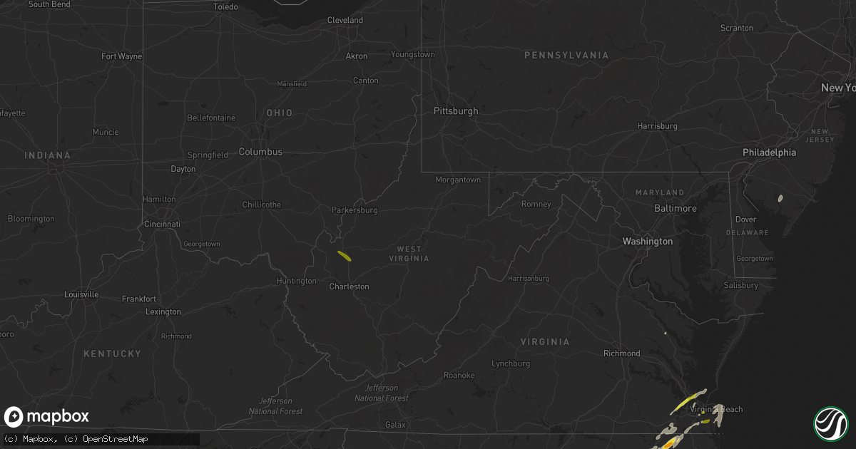
Hail Map in West Virginia on April 26, 2019
Get this storm
April 26 map
$229
one time, instant access
Download today. No call, no setup
Keep the $229
Bought the map and want the full workflow? Apply the entire $229 to a subscription within 7 days. None of it is wasted.
Every map, not just this one
This buys you this map. Subscription and you get every map we run, in the markets you choose from a few cities to whole states to nationwide. Plus real-time alerts the moment a storm fires.
Contact data
Name, contact info, occupancy, even credit band for addresses in the footprint. You go from where it hit to who to call.
Become the source they trust
Unlimited branding weather history reports on demand. You already have the documented answer ready for the property owner, and you are the one who showed up with it.
Property data and RoofTrace estimates
Pull up any address you have got, its value and the exact code rules for that jurisdiction, straight from One Click Code. Then RoofTrace estimates the squares, pitch, and roof value, priced the way you price.
Storm reports in West Virginia
West Virginia
| Date | Description |
|---|---|
| 04/26/20196:26 PM CDT | Power outage reported due to tree out of row. Reported time was long after storm had passed. Time est via radar. |
| 04/26/20196:25 PM CDT | 91 customers without power north of frame. Official reason given was tree out of row. Time est via radar. |
| 04/26/20196:00 PM CDT | Tree down across puckett ridge rd near parkersburg rd. Time est via radar. |
| 04/26/20198:56 AM CDT | *** corrected time *** damage report corresponds with earlier wind... And not recent convection. |
| 04/26/20191:58 AM CDT | At 658 PM EDT, a severe thunderstorm was located over Kenna, or 10 miles south of Ripley, moving southeast at 35 mph. HAZARD...60 mph wind gusts and quarter size hail. SOURCE...Radar indicated. IMPACT...Hail damage to vehicles is expected. Expect wind damage to roofs, siding, and trees. Locations impacted include... Sissonville, Elkview, Kenna and Kentuck. This includes the following highways... Interstate 79 between mile markers 9 and 19. Interstate 77 in West Virginia between mile markers 115 and 128. |
All States Impacted by Hail Map on April 26, 2019
Cities Impacted by Hail Map on April 26, 2019
- Suffolk, VA
- Newport News, VA
- Carrollton, VA
- Maxwell, NE
- Corinne, UT
- Lexington, NE
- Brady, NE
- Overton, NE
- Elm Creek, NE
- Cozad, NE
- Gothenburg, NE
- Preston, ID
- Stafford Springs, CT
- Monson, MA
- Brimfield, MA
- New Braintree, MA
- Gilbertville, MA
- Barre, MA
- North Brookfield, MA
- Wales, MA
- South Barre, MA
- West Brookfield, MA
- Warren, MA
- Oakham, MA
- Grouse Creek, UT
- Cofield, NC
- Harrellsville, NC
- Gatesville, NC
- Hobbsville, NC
- Corapeake, NC
- Sunbury, NC
- Gates, NC
- Palmer, MA
- Wilbraham, MA
- Hampden, MA
- Callaway, NE
- Snowville, UT
- Chesapeake, VA
- Nephi, UT
- Portage, UT
- Axtell, NE
- Kearney, NE
- Conchas Dam, NM
- Trementina, NM
- Ahoskie, NC
- Aulander, NC
- Aurora, NE
- Hampton, NE
- Brigham City, UT
- Tribune, KS
- Wagon Mound, NM
- Delta, UT
- Holly, CO
- Roxobel, NC
- Winton, NC
- Woodland, NC
- Kelford, NC
- Cornish, UT
- Lewiston, UT
- Virginia Beach, VA
- Odessa, NE
- Cedar Valley, UT
- Lancaster, VA
- Dugway, UT
- Raton, NM
- Millville, NJ
- Vineland, NJ
- Capitan, NM
- Franklin, ID
- Millersville, MD
- Severn, MD
- Gambrills, MD
- Odenton, MD
- Broken Bow, NE
- Mona, UT
- Lakin, KS
- Deerfield, KS
- Yeso, NM
- Vaughn, NM
- Windsor, NC
- Roswell, NM
- Malad City, ID
- Center Cross, VA
- Giltner, NE
- Mantua, UT
- Fillmore, UT
- Willow Island, NE
- Fort Monroe, VA
- Norfolk, VA
- Willington, CT
- Tolland, CT
- Corona, NM
- Tooele, UT
- Goshen, UT
- Hertford, NC
- Eddyville, NE
- Holland, MA
- West Warren, MA
- Paradise, UT
- Henderson, NE
- Baggs, WY
- Dixon, WY
- Hampton, VA
- Solano, NM
- Coventry, CT
- Ripley, WV
- Given, WV
- Kenna, WV
- Evans, WV


