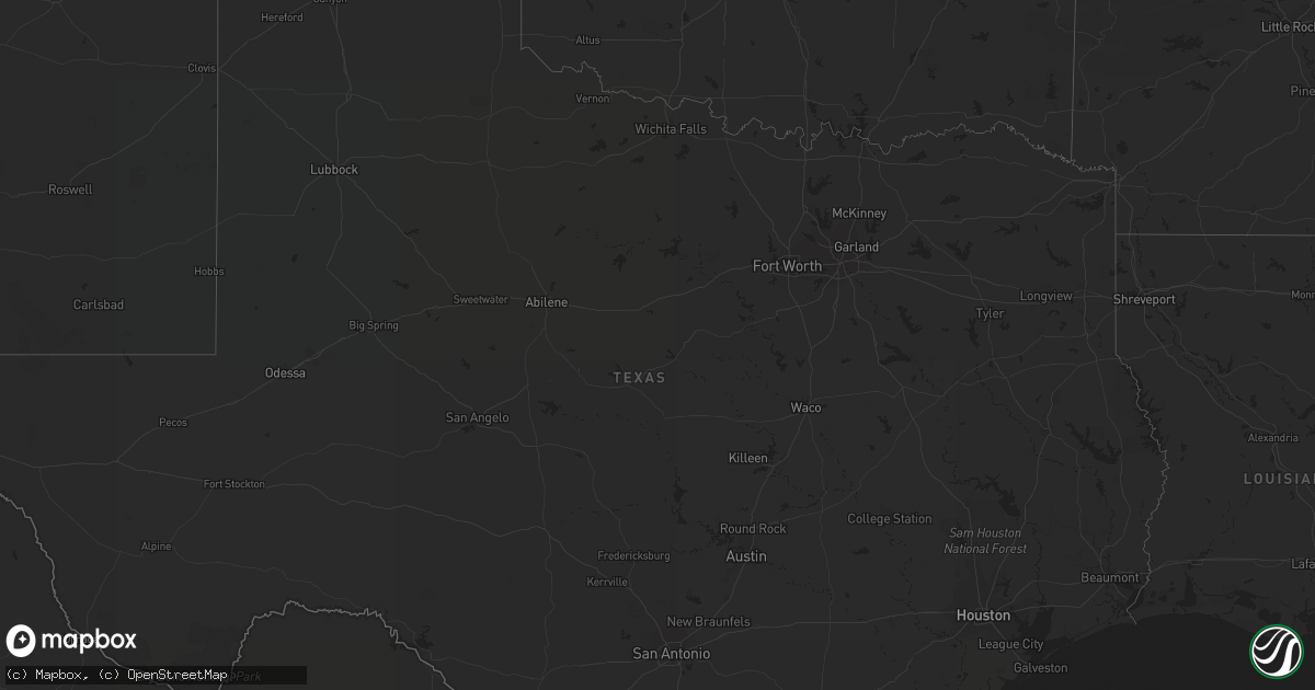
Hail Map in Nevada on February 13, 2021
Get this storm
February 13 map
$229
one time, instant access
Download today. No call, no setup
Keep the $229
Bought the map and want the full workflow? Apply the entire $229 to a subscription within 7 days. None of it is wasted.
Every map, not just this one
This buys you this map. Subscription and you get every map we run, in the markets you choose from a few cities to whole states to nationwide. Plus real-time alerts the moment a storm fires.
Contact data
Name, contact info, occupancy, even credit band for addresses in the footprint. You go from where it hit to who to call.
Become the source they trust
Unlimited branding weather history reports on demand. You already have the documented answer ready for the property owner, and you are the one who showed up with it.
Property data and RoofTrace estimates
Pull up any address you have got, its value and the exact code rules for that jurisdiction, straight from One Click Code. Then RoofTrace estimates the squares, pitch, and roof value, priced the way you price.
Storm reports in Nevada
Nevada
| Date | Description |
|---|---|
| 02/13/20214:37 PM CST | Carport caved in near the intersection of n christy lane and e bonanza rd. |
| 02/13/20214:36 PM CST | Metal shed blown out of yard into the road and destroyed. Near the intersection of n christy lane and stewart ave. |
| 02/13/20214:15 PM CST | Reported at boulder city airport. |
| 02/13/20213:56 PM CST | Reported at las vegas airport. |
| 02/13/20213:54 PM CST | Reported at nellis airforce base. |
| 02/13/20213:54 PM CST | Traffic pole down at the corner of torrey pines and w charleston ave. Reported by las vegas fire rescue. |
| 02/13/20213:36 PM CST | Numerous large vendor tents damaged at a local swap meet. |
| 02/13/20213:35 PM CST | Reported at north las vegas airport. |
| 02/13/20213:35 PM CST | Screens at the west wind drive ins blown over and damaged. Debris blown into road and blocking w carey ave. |
| 02/12/20217:35 PM CST | At 134 PM PST, a severe thunderstorm was located over northwest Las Vegas, moving southeast at 60 mph. Widespread strong wind gusts are expected. HAZARD...70 mph wind gusts. SOURCE...Radar indicated. IMPACT...Expect considerable tree damage. Damage is likely to mobile homes, roofs, and outbuildings. Locations impacted include... Las Vegas, Henderson, North Las Vegas, Lone Mountain, Anthem, Summerlin, The Strip, Nellis AFB, Downtown Las Vegas, East Las Vegas, Sam Boyd Stadium, The Motor Speedway, Las Vegas Bay, Aliante, Lake Las Vegas, Spring Valley, Centennial Hills, Green Valley, Enterprise and Paradise. |


