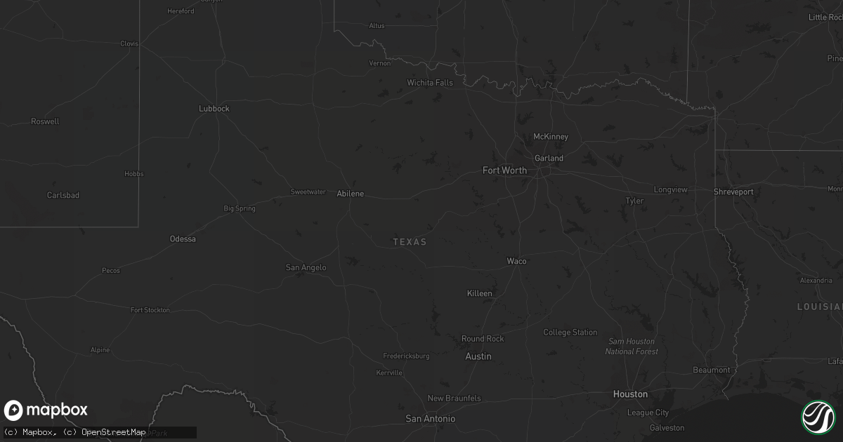
Hail Map in New Mexico on February 13, 2021
Get this storm
February 13 map
$229
one time, instant access
Download today. No call, no setup
Keep the $229
Bought the map and want the full workflow? Apply the entire $229 to a subscription within 7 days. None of it is wasted.
Every map, not just this one
This buys you this map. Subscription and you get every map we run, in the markets you choose from a few cities to whole states to nationwide. Plus real-time alerts the moment a storm fires.
Contact data
Name, contact info, occupancy, even credit band for addresses in the footprint. You go from where it hit to who to call.
Become the source they trust
Unlimited branding weather history reports on demand. You already have the documented answer ready for the property owner, and you are the one who showed up with it.
Property data and RoofTrace estimates
Pull up any address you have got, its value and the exact code rules for that jurisdiction, straight from One Click Code. Then RoofTrace estimates the squares, pitch, and roof value, priced the way you price.
Storm reports in New Mexico
New Mexico
| Date | Description |
|---|---|
| 02/13/202112:00 AM CST | At 600 PM MST, severe thunderstorms were located along a line extending from 6 miles west of San Felipe Pueblo to Albuquerque, moving northeast at 45 mph. HAZARD...60 mph wind gusts. SOURCE...Radar indicated. IMPACT...Expect damage to roofs, siding, and trees. Locations impacted include... Albuquerque, Rio Rancho, Corrales, Bernalillo, Los Ranchos De Albuquerque, Santo Domingo Pueblo, Tijeras, Mariposa, San Felipe Pueblo and Coronado State Monument.This includes the following highways... Interstate 40 between Mile Markers 151 and 168, and between MileMarkers 173 and 178. Interstate 25 between Mile Markers 223 and 258. Highway 550 between Mile Markers 1 and 18. |
| 02/12/20216:50 PM CST | A local report indicates 62 MPH wind near 7 WNW ALBUQUERQUE |


