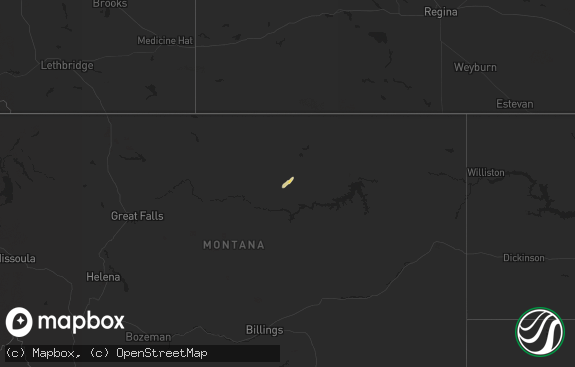
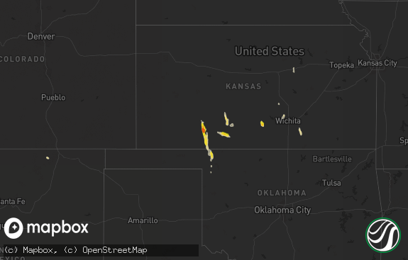
Hail Map in North Dakota on August 15, 2022
The weather event in North Dakota on August 15, 2022 includes Hail, Wind, and Tornado maps. 16 states and 121 cities were impacted and suffered possible damage. The total estimated number of properties impacted is 249.

Hail
Wind
Tornado
249
Estimated number of impacted properties by a 1.00" hail or larger0
Estimated number of impacted properties by a 1.75" hail or larger0
Estimated number of impacted properties by a 2.50" hail or largerStorm reports in North Dakota
North Dakota
| Date | Description |
|---|---|
| 08/15/20225:50 PM CDT | Public report of another tornado on the ground. |
| 08/15/20225:35 PM CDT | Tornado touchdown and then lifted within a few minutes. |
| 08/15/20225:25 PM CDT | Public report of a tornado touchdown. |
| 08/15/20228:12 AM CDT | 40 to 50 mph wind gusts with the hail. |
| 08/15/20223:05 AM CDT | At 805 PM CDT, a severe thunderstorm was located 6 miles east of New Salem, or 18 miles west of Mandan, moving south at 15 mph. HAZARD...Half dollar size hail. SOURCE...Radar indicated. IMPACT...Damage to vehicles is expected. This severe thunderstorm will be near... Fish Creek Dam around 835 PM CDT.Other locations impacted by this severe thunderstorm include SweetBriar Lake and Judson. |
| 08/15/20222:59 AM CDT | At 759 AM CDT, a severe thunderstorm was located over Lake Metigoshe State Park, or 13 miles northeast of Bottineau, moving east at 30 mph. HAZARD...Ping pong ball size hail and 60 mph wind gusts. SOURCE...Radar indicated. IMPACT...People and animals outdoors will be injured. Expect hail damage to roofs, siding, windows, and vehicles. Expect wind damage to roofs, siding, and trees. This severe thunderstorm will be near... International Peace Garden around 815 AM CDT. St. John and Belcourt around 850 AM CDT. Rolla around 900 AM CDT.Other locations impacted by this severe thunderstorm include ShellValley. |
All States Impacted by Hail Map on August 15, 2022
Cities Impacted by Hail Map on August 15, 2022
- Dunseith, ND
- Bottineau, ND
- Coleharbor, ND
- North Platte, NE
- Glenwood, AR
- Calhan, CO
- Peyton, CO
- Calera, AL
- Alabaster, AL
- Hugo, CO
- Troy, SC
- McCormick, SC
- Bradley, SC
- Carthage, MO
- Jasper, MO
- Montpelier, ND
- Ruso, ND
- Baldwinsville, NY
- Syracuse, NY
- Brooksville, MS
- Limon, CO
- Sedalia, CO
- Goehner, NE
- Beaver Crossing, NE
- Utica, NE
- Waco, NE
- Seward, NE
- Steele, AL
- Altoona, AL
- Gallant, AL
- Oneonta, AL
- Conifer, CO
- Loris, SC
- Tabor City, NC
- Ponsford, MN
- Bird City, KS
- New Salem, ND
- Double Springs, AL
- Salol, MN
- Elbert, CO
- Colorado Springs, CO
- Turtle Lake, ND
- Ashville, AL
- Springville, AL
- Roseau, MN
- Elgin, AZ
- McColl, SC
- Rockingham, NC
- Bennettsville, SC
- Wallace, SC
- Clio, SC
- Hamlet, NC
- Talbotton, GA
- Crawford, MS
- Ramah, CO
- Columbiana, AL
- Badger, MN
- Greenbush, MN
- Lancaster, MN
- Northport, AL
- Tuscaloosa, AL
- Roggen, CO
- Green Sea, SC
- Clarendon, NC
- Saint Francis, KS
- Longs, SC
- Candor, NC
- Eagle Springs, NC
- Biscoe, NC
- Divide, CO
- Laurel Hill, NC
- Mount Gilead, NC
- Cando, ND
- Englewood, CO
- Brookwood, AL
- Laurinburg, NC
- Daviston, AL
- Ogallala, NE
- Waldron, AR
- Nauvoo, AL
- Lynn, AL
- Strathcona, MN
- Sulligent, AL
- Greenwood, SC
- Hodges, SC
- Haleyville, AL
- Laurel Hill, FL
- Defuniak Springs, FL
- Warroad, MN
- Kiowa, CO
- Pensacola, FL
- Champion, NE
- Elizabeth, CO
- Franktown, CO
- Middle River, MN
- Cerro Gordo, NC
- Harvard, NE
- Trumbull, NE
- Berry, AL
- Littleton, CO
- Wellfleet, NE
- Woodland, GA
- Wakeeney, KS
- Warners, NY
- Milton, FL
- Aurora, CO
- Shelby, AL
- Boaz, AL
- Wannaska, MN
- Hot Springs National Park, AR
- Strandquist, MN
- Rolla, ND
- Lordsburg, NM
- Castle Rock, CO
- Rolette, ND
- Kelliher, MN
- Detroit, AL
- Lone Tree, CO
- Watkins, CO
- Parker, CO
- Sylacauga, AL


