Hail Map in Alabama on August 15, 2022
Get this storm
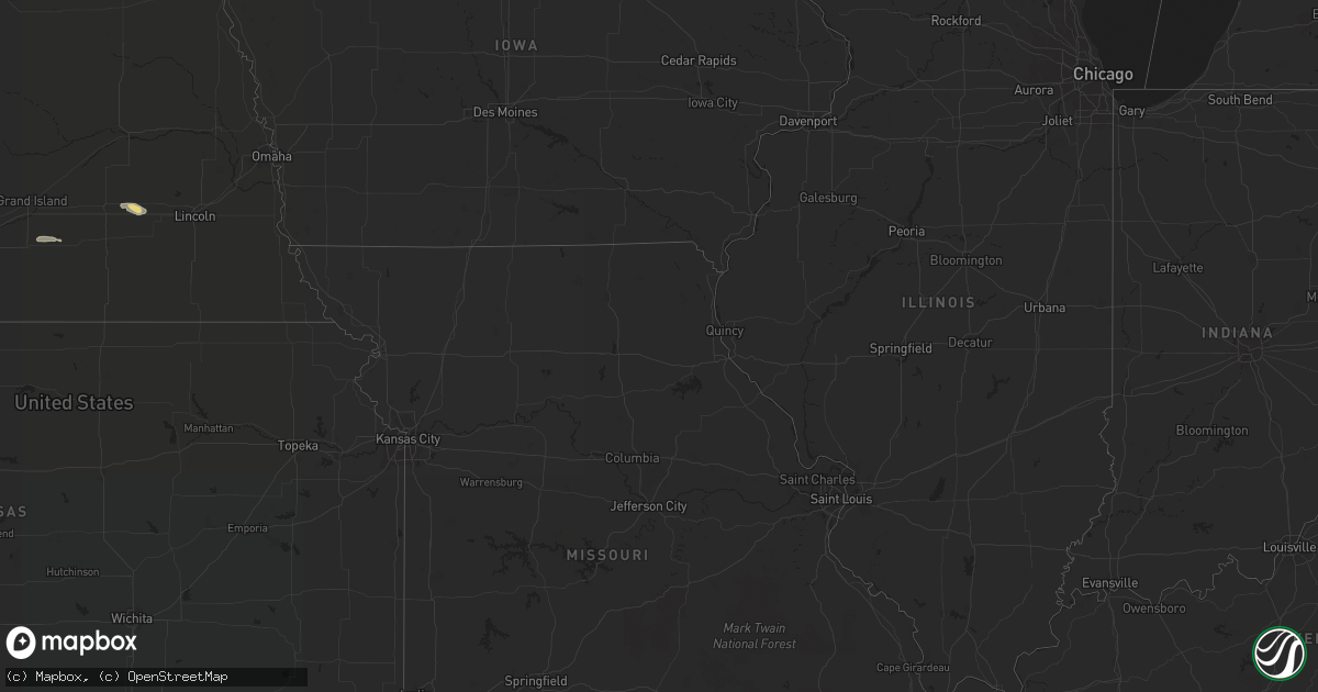
August 15 map
$229
one time, instant access
Download today. No call, no setup
Keep the $229
Bought the map and want the full workflow? Apply the entire $229 to a subscription within 7 days. None of it is wasted.
Every map, not just this one
This buys you this map. Subscription and you get every map we run, in the markets you choose from a few cities to whole states to nationwide. Plus real-time alerts the moment a storm fires.
Contact data
Name, contact info, occupancy, even credit band for addresses in the footprint. You go from where it hit to who to call.
Become the source they trust
Unlimited branding weather history reports on demand. You already have the documented answer ready for the property owner, and you are the one who showed up with it.
Property data and RoofTrace estimates
Pull up any address you have got, its value and the exact code rules for that jurisdiction, straight from One Click Code. Then RoofTrace estimates the squares, pitch, and roof value, priced the way you price.
Storm reports in Alabama
Alabama
| Date | Description |
|---|---|
| 08/15/20225:21 PM CDT | Tree down and blocking the road/405. Time estimated from radar. |
| 08/15/20225:17 PM CDT | Trees were blown down at highway 77 in kingdom crossroads. |
| 08/15/20225:08 PM CDT | A large tree was blown on e college st. |
| 08/15/20224:55 PM CDT | Trees reported down at james circle and hwy 26. |
| 08/15/20224:08 PM CDT | The roof was damaged at the fire department in ragland. This corrects the report of roof damage in ashville. |
| 08/15/20224:08 PM CDT | T |
| 08/15/20224:00 PM CDT | A few trees were blown down. Some were blocking roadways. |
| 08/15/20223:58 PM CDT | Multiple trees and power lines down in boaz. Time estimated from radar. |
| 08/15/20223:58 PM CDT | Tin roofing partially blown off a store near downtown boaz. Time estimated from radar. |
| 08/15/20223:57 PM CDT | Numerous trees and power lines were blown down around ashville. One has landed on a manufactured home. |
| 08/15/20223:57 PM CDT | A few trees were blown down in ashville. |
| 08/15/20223:51 PM CDT | The ashville police department has suffered roof damage from high wind. |
| 08/15/202212:26 AM CDT | At 526 PM CDT, a severe thunderstorm was located over Talladega Springs, moving east at 20 mph. HAZARD...60 mph wind gusts. SOURCE...Radar indicated. IMPACT...Expect damage to roofs, siding, and trees. Locations impacted include... Sylacauga, Talladega Springs, Weogufka, Stewartville, Hanover, Fayetteville, Strickland Crossroads, Bentleyville, Unity, Marble Valley, Lay Lake, Overbrook, Cedar Creek, Gantts Quarry, Shelby Shores and Alabama 4H Center. |
| 08/15/202212:24 AM CDT | At 524 PM CDT, a severe thunderstorm was located 4 miles northwest of Myrtle Grove, or 5 miles northwest of West Pensacola, moving southeast at 5 mph. HAZARD...60 mph wind gusts and nickel size hail. SOURCE...Radar indicated. IMPACT...Expect damage to roofs, siding, and trees. Locations impacted include... Pensacola, Brent, West Pensacola, Ensley, Warrington, Goulding and Myrtle Grove. |
| 08/14/202211:55 PM CDT | At 455 PM CDT, a severe thunderstorm was located near Columbiana, moving southeast at 20 mph. HAZARD...60 mph wind gusts. SOURCE...Radar indicated. IMPACT...Expect damage to roofs, siding, and trees. Locations impacted include... Calera, Columbiana, Wilsonville, Lay Lake, Shelby, Bounds Lake, Beeswax Creek Park, Alabama 4H Center, Shelby Shores, Highway 145 and CR 46, Spring Creek and Kelley Branch. |
| 08/14/202211:14 PM CDT | At 414 PM CDT, a severe thunderstorm was located over Ashbank, or near Lynn, moving southeast at 20 mph. HAZARD...60 mph wind gusts and nickel size hail. SOURCE...Radar indicated. IMPACT...Expect damage to roofs, siding, and trees. Locations impacted include... Lynn, Nauvoo, Poplar Springs, Camp McDowell, Ashbank, Smith Lake, Coon Creek, Clear Creek, Lupton, Seymour Branch and Black Pond. |
| 08/14/202210:43 PM CDT | At 343 PM CDT, a severe thunderstorm was located near Ashville, or 7 miles northeast of Springville, moving southeast at 20 mph. HAZARD...60 mph wind gusts and quarter size hail. SOURCE...Radar indicated. IMPACT...Hail damage to vehicles is expected. Expect wind damage to roofs, siding, and trees. Locations impacted include... Springville, Ashville, Riverside, Ragland, Neely Henry Lake, Logan Martin Lake, Whitney Junction, St. Clair Springs, Wattsville, Neely Henry Dam, Caldwell and I 59 Rest Areas At Oneonta. |
| 08/14/202210:31 PM CDT | At 331 PM CDT, a severe thunderstorm was located near Poplar Springs, or 8 miles east of Lynn, moving southeast at 20 mph. HAZARD...60 mph wind gusts and nickel size hail. SOURCE...Radar indicated. IMPACT...Expect damage to roofs, siding, and trees. Locations impacted include... Jasper, Arley, Double Springs, Curry, Houston Recreational Area, Camp McDowell, Smith Lake, Poplar Springs, Corinth Rec Area, Falls City, Maple Branch, Hullett Branch, Clear Creek, Winston County Airport, Cane Creek, Little Dismal Creek, Yellow Creek, Coon Creek, Rockhouse Creek and Battle Branch. |
All States Impacted by Hail Map on August 15, 2022
Cities Impacted by Hail Map on August 15, 2022
- Dunseith, ND
- Bottineau, ND
- Coleharbor, ND
- North Platte, NE
- Glenwood, AR
- Calhan, CO
- Peyton, CO
- Calera, AL
- Alabaster, AL
- Hugo, CO
- Troy, SC
- McCormick, SC
- Bradley, SC
- Carthage, MO
- Jasper, MO
- Montpelier, ND
- Ruso, ND
- Baldwinsville, NY
- Syracuse, NY
- Brooksville, MS
- Limon, CO
- Sedalia, CO
- Goehner, NE
- Beaver Crossing, NE
- Utica, NE
- Waco, NE
- Seward, NE
- Steele, AL
- Altoona, AL
- Gallant, AL
- Oneonta, AL
- Conifer, CO
- Loris, SC
- Tabor City, NC
- Ponsford, MN
- Bird City, KS
- New Salem, ND
- Double Springs, AL
- Salol, MN
- Elbert, CO
- Colorado Springs, CO
- Turtle Lake, ND
- Ashville, AL
- Springville, AL
- Roseau, MN
- Elgin, AZ
- McColl, SC
- Rockingham, NC
- Bennettsville, SC
- Wallace, SC
- Clio, SC
- Hamlet, NC
- Talbotton, GA
- Crawford, MS
- Ramah, CO
- Columbiana, AL
- Badger, MN
- Greenbush, MN
- Lancaster, MN
- Northport, AL
- Tuscaloosa, AL
- Roggen, CO
- Green Sea, SC
- Clarendon, NC
- Saint Francis, KS
- Longs, SC
- Candor, NC
- Eagle Springs, NC
- Biscoe, NC
- Divide, CO
- Laurel Hill, NC
- Mount Gilead, NC
- Cando, ND
- Englewood, CO
- Brookwood, AL
- Laurinburg, NC
- Daviston, AL
- Ogallala, NE
- Waldron, AR
- Nauvoo, AL
- Lynn, AL
- Strathcona, MN
- Sulligent, AL
- Greenwood, SC
- Hodges, SC
- Haleyville, AL
- Laurel Hill, FL
- Defuniak Springs, FL
- Warroad, MN
- Kiowa, CO
- Pensacola, FL
- Champion, NE
- Elizabeth, CO
- Franktown, CO
- Middle River, MN
- Cerro Gordo, NC
- Harvard, NE
- Trumbull, NE
- Berry, AL
- Littleton, CO
- Wellfleet, NE
- Woodland, GA
- Wakeeney, KS
- Warners, NY
- Milton, FL
- Aurora, CO
- Shelby, AL
- Boaz, AL
- Wannaska, MN
- Hot Springs National Park, AR
- Strandquist, MN
- Rolla, ND
- Lordsburg, NM
- Castle Rock, CO
- Rolette, ND
- Kelliher, MN
- Detroit, AL
- Lone Tree, CO
- Watkins, CO
- Parker, CO
- Sylacauga, AL


