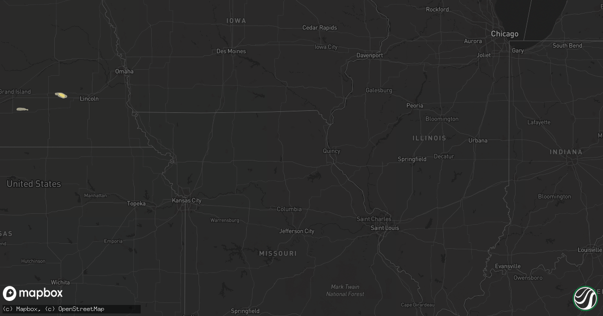
Hail Map in Arkansas on August 15, 2022
Get this storm
August 15 map
$229
one time, instant access
Download today. No call, no setup
Keep the $229
Bought the map and want the full workflow? Apply the entire $229 to a subscription within 7 days. None of it is wasted.
Every map, not just this one
This buys you this map. Subscription and you get every map we run, in the markets you choose from a few cities to whole states to nationwide. Plus real-time alerts the moment a storm fires.
Contact data
Name, contact info, occupancy, even credit band for addresses in the footprint. You go from where it hit to who to call.
Become the source they trust
Unlimited branding weather history reports on demand. You already have the documented answer ready for the property owner, and you are the one who showed up with it.
Property data and RoofTrace estimates
Pull up any address you have got, its value and the exact code rules for that jurisdiction, straight from One Click Code. Then RoofTrace estimates the squares, pitch, and roof value, priced the way you price.
Storm reports in Arkansas
Arkansas
| Date | Description |
|---|---|
| 08/15/20224:36 PM CDT | Multiple trees damaged with some damage also occurring to a roof... Shed... And fence. Report relayed via social media. |
| 08/15/20222:39 AM CDT | At 739 PM CDT, a severe thunderstorm was located 3 miles east of Cedarville, moving northeast at 10 mph. HAZARD...60 mph wind gusts and penny size hail. SOURCE...Radar indicated. IMPACT...Expect damage to roofs, siding, and trees. Locations in or near the path include... Cedarville... Mountainburg... Chester... Rudy... Lee Creek... Furry...This includes Interstate 49 between mile markers 22 and 32. |
| 08/15/202212:00 AM CDT | At 500 PM CDT, a severe thunderstorm was located near Mimosa, or 11 miles southwest of Mount Ida, and is nearly stationary. HAZARD...60 mph wind gusts and quarter size hail. SOURCE...Radar indicated. IMPACT...Hail damage to vehicles is expected. Expect wind damage to roofs, siding, and trees. Locations impacted include... Mimosa... |
| 08/14/202211:16 PM CDT | At 416 PM CDT, a severe thunderstorm was located over Hot Springs National Park, or near Hot Springs, and is nearly stationary. HAZARD...60 mph wind gusts and quarter size hail. SOURCE...Radar indicated. IMPACT...Hail damage to vehicles is expected. Expect wind damage to roofs, siding, and trees. Locations impacted include... Hot Springs... Hot Springs National Park... Red Oak... Oaklawn Racetrack... Gulpha Gorge... |
| 08/14/202210:43 PM CDT | At 343 PM CDT, a severe thunderstorm was located 7 miles northwest of Holman, or 9 miles northeast of Clarksville, and is nearly stationary. HAZARD...60 mph wind gusts and quarter size hail. SOURCE...Radar indicated. IMPACT...Hail damage to vehicles is expected. Expect wind damage to roofs, siding, and trees. Locations impacted include... Holman... Ozone... Hillcrest in Johnson County... |
| 08/14/202210:27 PM CDT | At 327 PM CDT, severe thunderstorms were located along a line extending from near Cardiff to 9 miles north of Oden, and are nearly stationary. HAZARD...60 mph wind gusts and quarter size hail. SOURCE...Radar indicated. IMPACT...Hail damage to vehicles is expected. Expect wind damage to roofs, siding, and trees. Locations impacted include... Cardiff... Harvey... Union Hill... Parks... Olio... Cedar Creek... |
All States Impacted by Hail Map on August 15, 2022
Cities Impacted by Hail Map on August 15, 2022
- Dunseith, ND
- Bottineau, ND
- Coleharbor, ND
- North Platte, NE
- Glenwood, AR
- Calhan, CO
- Peyton, CO
- Calera, AL
- Alabaster, AL
- Hugo, CO
- Troy, SC
- McCormick, SC
- Bradley, SC
- Carthage, MO
- Jasper, MO
- Montpelier, ND
- Ruso, ND
- Baldwinsville, NY
- Syracuse, NY
- Brooksville, MS
- Limon, CO
- Sedalia, CO
- Goehner, NE
- Beaver Crossing, NE
- Utica, NE
- Waco, NE
- Seward, NE
- Steele, AL
- Altoona, AL
- Gallant, AL
- Oneonta, AL
- Conifer, CO
- Loris, SC
- Tabor City, NC
- Ponsford, MN
- Bird City, KS
- New Salem, ND
- Double Springs, AL
- Salol, MN
- Elbert, CO
- Colorado Springs, CO
- Turtle Lake, ND
- Ashville, AL
- Springville, AL
- Roseau, MN
- Elgin, AZ
- McColl, SC
- Rockingham, NC
- Bennettsville, SC
- Wallace, SC
- Clio, SC
- Hamlet, NC
- Talbotton, GA
- Crawford, MS
- Ramah, CO
- Columbiana, AL
- Badger, MN
- Greenbush, MN
- Lancaster, MN
- Northport, AL
- Tuscaloosa, AL
- Roggen, CO
- Green Sea, SC
- Clarendon, NC
- Saint Francis, KS
- Longs, SC
- Candor, NC
- Eagle Springs, NC
- Biscoe, NC
- Divide, CO
- Laurel Hill, NC
- Mount Gilead, NC
- Cando, ND
- Englewood, CO
- Brookwood, AL
- Laurinburg, NC
- Daviston, AL
- Ogallala, NE
- Waldron, AR
- Nauvoo, AL
- Lynn, AL
- Strathcona, MN
- Sulligent, AL
- Greenwood, SC
- Hodges, SC
- Haleyville, AL
- Laurel Hill, FL
- Defuniak Springs, FL
- Warroad, MN
- Kiowa, CO
- Pensacola, FL
- Champion, NE
- Elizabeth, CO
- Franktown, CO
- Middle River, MN
- Cerro Gordo, NC
- Harvard, NE
- Trumbull, NE
- Berry, AL
- Littleton, CO
- Wellfleet, NE
- Woodland, GA
- Wakeeney, KS
- Warners, NY
- Milton, FL
- Aurora, CO
- Shelby, AL
- Boaz, AL
- Wannaska, MN
- Hot Springs National Park, AR
- Strandquist, MN
- Rolla, ND
- Lordsburg, NM
- Castle Rock, CO
- Rolette, ND
- Kelliher, MN
- Detroit, AL
- Lone Tree, CO
- Watkins, CO
- Parker, CO
- Sylacauga, AL


