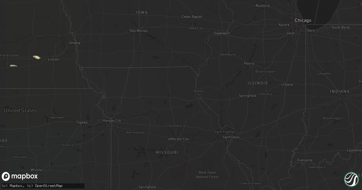
Hail Map in South Carolina on August 15, 2022
Get this storm
August 15 map
$229
one time, instant access
Download today. No call, no setup
Keep the $229
Bought the map and want the full workflow? Apply the entire $229 to a subscription within 7 days. None of it is wasted.
Every map, not just this one
This buys you this map. Subscription and you get every map we run, in the markets you choose from a few cities to whole states to nationwide. Plus real-time alerts the moment a storm fires.
Contact data
Name, contact info, occupancy, even credit band for addresses in the footprint. You go from where it hit to who to call.
Become the source they trust
Unlimited branding weather history reports on demand. You already have the documented answer ready for the property owner, and you are the one who showed up with it.
Property data and RoofTrace estimates
Pull up any address you have got, its value and the exact code rules for that jurisdiction, straight from One Click Code. Then RoofTrace estimates the squares, pitch, and roof value, priced the way you price.
Storm reports in South Carolina
South Carolina
| Date | Description |
|---|---|
| 08/15/20225:40 PM CDT | 911 call center reported powerlines down on tillman territory rd |
| 08/15/20225:40 PM CDT | 911 call center reported powerlines down on tillman territory |
| 08/15/20225:17 PM CDT | Numerous trees down across the city of greenwood as well as power outages. |
| 08/15/20224:05 PM CDT | Several trees and some power poles down along east gibson ave. |
| 08/15/20224:05 PM CDT | A section of the us post office roof was blown off. The post office is located on main st. |
| 08/15/20223:40 PM CDT | Tree down in roadway sc 38 |
| 08/15/20221:37 AM CDT | At 636 PM EDT, severe thunderstorms were located along a line extending from 25 miles south of Laurens to 7 miles southeast of Greenwood to near Abbeville, moving southeast at 35 mph. |
| 08/15/20221:06 AM CDT | At 606 PM EDT, a severe thunderstorm was located 4 miles north of Greenwood, or near Cokesbury, moving southeast at 25 mph. HAZARD...60 mph wind gusts and quarter size hail. SOURCE...Radar indicated. IMPACT...Minor hail damage to vehicles is expected. Expect wind damage to trees and power lines. Locations impacted include... Greenwood, Ninety Six, Cokesbury, Hodges, Lake Greenwood State Park, Lake Greenwood, Greenwood State Park, Ninety Six Historic Site, Coronaca and Kirksey. |
| 08/14/202211:43 PM CDT | At 443 PM EDT, a severe thunderstorm was located near Mccoll, or near Bennettsville, moving southeast at 20 mph. HAZARD...70 mph wind gusts and ping pong ball size hail. SOURCE...Radar indicated. IMPACT...People and animals outdoors will be injured. Expect hail damage to roofs, siding, windows, and vehicles. Expect considerable tree damage. Wind damage is also likely to mobile homes, roofs, and outbuildings. Locations impacted include... Bennettsville, Mccoll, Clio, Raemon, Dunbar, Minturn, Gibson and Tatum. |
| 08/14/202211:39 PM CDT | At 439 PM EDT, a severe thunderstorm was located 8 miles north of Shelby, or over Lawndale, moving southeast at 20 mph. HAZARD...60 mph wind gusts and quarter size hail. SOURCE...Radar indicated. IMPACT...Minor hail damage to vehicles is expected. Expect wind damage to trees and power lines. Locations impacted include... Lincolnton, Kings Mountain, Cherryville, Bessemer City, Dallas, Belwood, High Shoals, Lawndale, Fallston and Polkville. |
| 08/14/202211:02 PM CDT | At 402 PM EDT, a severe thunderstorm was located near Hamlet, or 7 miles south of Rockingham, moving southeast at 25 mph. HAZARD...60 mph wind gusts and quarter size hail. SOURCE...Radar indicated. IMPACT...Hail damage to vehicles is expected. Expect wind damage to roofs, siding, and trees. Locations impacted include... Laurinburg, Rockingham, Hamlet, Dobbins Heights, Gibson, East Laurinburg, East Rockingham, Diggs and Laurel Hill. |
| 08/14/202211:00 PM CDT | At 359 PM EDT, a severe thunderstorm was located near Rockingham, moving southeast at 25 mph. HAZARD...60 mph wind gusts and quarter size hail. SOURCE...Radar indicated. IMPACT...Minor hail damage to vehicles is possible. Expect wind damage to trees and power lines. Locations impacted include... Bennettsville, Mccoll, Clio, Chavistown, Gibson and Tatum. |
| 08/14/20227:55 PM CDT | Local broadcast media reported golf ball sized hail near the intersection of highway 66 and long horne ranch drive. Time estimated by radar. |
All States Impacted by Hail Map on August 15, 2022
Cities Impacted by Hail Map on August 15, 2022
- Dunseith, ND
- Bottineau, ND
- Coleharbor, ND
- North Platte, NE
- Glenwood, AR
- Calhan, CO
- Peyton, CO
- Calera, AL
- Alabaster, AL
- Hugo, CO
- Troy, SC
- McCormick, SC
- Bradley, SC
- Carthage, MO
- Jasper, MO
- Montpelier, ND
- Ruso, ND
- Baldwinsville, NY
- Syracuse, NY
- Brooksville, MS
- Limon, CO
- Sedalia, CO
- Goehner, NE
- Beaver Crossing, NE
- Utica, NE
- Waco, NE
- Seward, NE
- Steele, AL
- Altoona, AL
- Gallant, AL
- Oneonta, AL
- Conifer, CO
- Loris, SC
- Tabor City, NC
- Ponsford, MN
- Bird City, KS
- New Salem, ND
- Double Springs, AL
- Salol, MN
- Elbert, CO
- Colorado Springs, CO
- Turtle Lake, ND
- Ashville, AL
- Springville, AL
- Roseau, MN
- Elgin, AZ
- McColl, SC
- Rockingham, NC
- Bennettsville, SC
- Wallace, SC
- Clio, SC
- Hamlet, NC
- Talbotton, GA
- Crawford, MS
- Ramah, CO
- Columbiana, AL
- Badger, MN
- Greenbush, MN
- Lancaster, MN
- Northport, AL
- Tuscaloosa, AL
- Roggen, CO
- Green Sea, SC
- Clarendon, NC
- Saint Francis, KS
- Longs, SC
- Candor, NC
- Eagle Springs, NC
- Biscoe, NC
- Divide, CO
- Laurel Hill, NC
- Mount Gilead, NC
- Cando, ND
- Englewood, CO
- Brookwood, AL
- Laurinburg, NC
- Daviston, AL
- Ogallala, NE
- Waldron, AR
- Nauvoo, AL
- Lynn, AL
- Strathcona, MN
- Sulligent, AL
- Greenwood, SC
- Hodges, SC
- Haleyville, AL
- Laurel Hill, FL
- Defuniak Springs, FL
- Warroad, MN
- Kiowa, CO
- Pensacola, FL
- Champion, NE
- Elizabeth, CO
- Franktown, CO
- Middle River, MN
- Cerro Gordo, NC
- Harvard, NE
- Trumbull, NE
- Berry, AL
- Littleton, CO
- Wellfleet, NE
- Woodland, GA
- Wakeeney, KS
- Warners, NY
- Milton, FL
- Aurora, CO
- Shelby, AL
- Boaz, AL
- Wannaska, MN
- Hot Springs National Park, AR
- Strandquist, MN
- Rolla, ND
- Lordsburg, NM
- Castle Rock, CO
- Rolette, ND
- Kelliher, MN
- Detroit, AL
- Lone Tree, CO
- Watkins, CO
- Parker, CO
- Sylacauga, AL


