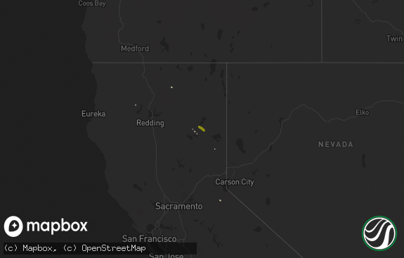
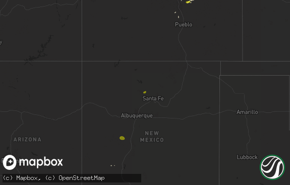
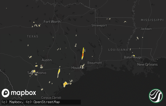
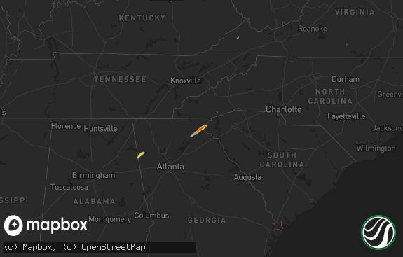
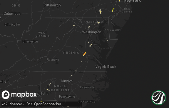
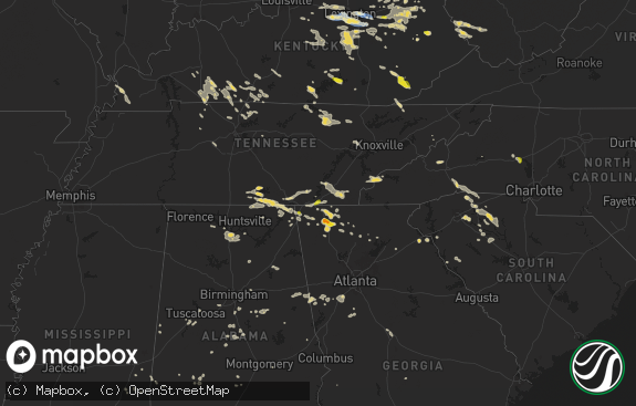
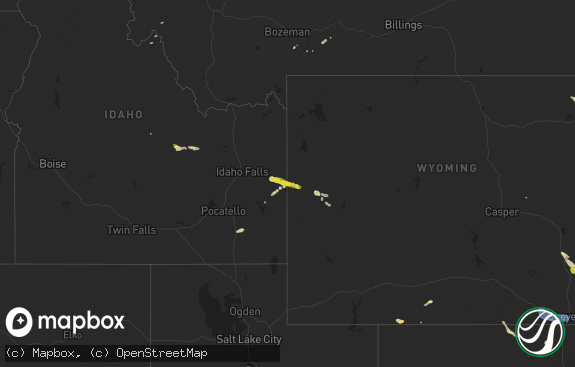
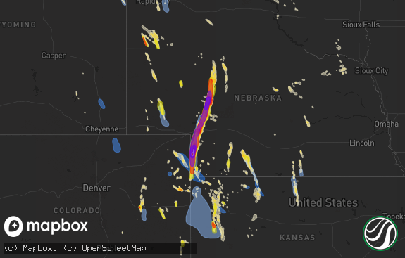
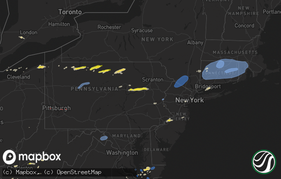
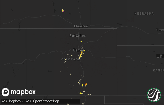
Hail Map in Washington on August 9, 2019
The weather event in Washington on August 9, 2019 includes Hail and Wind maps. 22 states and 260 cities were impacted and suffered possible damage. The total estimated number of properties impacted is 0.

Hail
Wind
0
Estimated number of impacted properties by a 1.00" hail or larger0
Estimated number of impacted properties by a 1.75" hail or larger0
Estimated number of impacted properties by a 2.50" hail or largerStorm reports in Washington
Washington
| Date | Description |
|---|---|
| 08/09/20194:03 AM CDT | At 902 PM PDT, a severe thunderstorm was located near Lyle, or 8 miles north of The Dalles, moving north at 75 mph. HAZARD...60 mph wind gusts and quarter size hail. SOURCE...Radar indicated. IMPACT...Hail damage to vehicles is expected. Expect wind damage to roofs, siding, and trees. Locations impacted include... The Dalles, Dufur, Mosier, Maupin, Wasco, Chenoweth, Wamic, Tygh Valley and Rowena. |
| 08/08/201910:00 PM CDT | Social media had a picture of the hail. Confirmed the largest hail size of a quarter. |
All States Impacted by Hail Map on August 9, 2019
Cities Impacted by Hail Map on August 9, 2019
- Malta, MT
- Warm Springs, OR
- Camp Sherman, OR
- Wood, SD
- Sargent, NE
- Bard, NM
- San Jon, NM
- Goldendale, WA
- New Underwood, SD
- Anselmo, NE
- Burwell, NE
- Saint Paul, NE
- Scotia, NE
- Ainsworth, NE
- Comstock, NE
- Johnstown, NE
- Saint Libory, NE
- Bassett, NE
- Elyria, NE
- Brewster, NE
- Farwell, NE
- Long Pine, NE
- Wolbach, NE
- North Loup, NE
- Taylor, NE
- Ashton, NE
- Elba, NE
- Broken Bow, NE
- Arcadia, NE
- Ord, NE
- Floyd, NM
- Herrick, SD
- Spray, OR
- Kimberly, OR
- Monument, OR
- Fossil, OR
- Amelia, NE
- Chambers, NE
- Switzer, WV
- Omar, WV
- Logan, WV
- Solano, NM
- Wagon Mound, NM
- Roy, NM
- Butte Falls, OR
- Canyon, TX
- Fountain, CO
- Colorado Springs, CO
- Chapmanville, WV
- Atmore, AL
- Dunlow, WV
- Enterprise, OR
- Fort Pierre, SD
- Amarillo, TX
- Dallas, SD
- Miami, TX
- Prineville, OR
- Murdo, SD
- White River, SD
- Okaton, SD
- Belvidere, SD
- Bend, OR
- Ewing, NE
- Emmet, NE
- Atkinson, NE
- Pritchett, CO
- Cartwright, ND
- Winner, SD
- Colome, SD
- Holbrook, NE
- Fort Davis, TX
- Suffolk, VA
- Madras, OR
- Mitchell, OR
- Avon, SD
- Sarah Ann, WV
- Chauncey, WV
- Holden, WV
- Harrold, SD
- Witten, SD
- Mission, SD
- Okreek, SD
- Harts, WV
- Gilbert, WV
- Dingess, WV
- Naper, NE
- Burke, SD
- Sturgis, SD
- Pierre, SD
- Box Elder, SD
- La Grande, OR
- Shawboro, NC
- Redmond, OR
- Scarbro, WV
- Clear Creek, WV
- South Mills, NC
- Camden, NC
- Terrebonne, OR
- Elizabeth, CO
- Franktown, CO
- Blunt, SD
- Wanblee, SD
- Scenic, SD
- Wood Lake, NE
- Whitewood, SD
- Hewett, WV
- Lucile, ID
- Eagle Butte, SD
- Imnaha, OR
- Memphis, NY
- Baldwinsville, NY
- Elk City, ID
- Windsor, NC
- Riggins, ID
- Chamberlain, SD
- Onida, SD
- Holabird, SD
- Stuart, NE
- Cambridge, MD
- Cottonwood, CA
- Clayton, NM
- Culver, OR
- Heathsville, VA
- Kilmarnock, VA
- Hereford, TX
- Gregory, SD
- Mills, NE
- Bonesteel, SD
- Red Bluff, CA
- Amherstdale, WV
- Lower Brule, SD
- Forks Of Salmon, CA
- Pueblo, CO
- Kadoka, SD
- Elizabeth City, NC
- Shiloh, NC
- Crow Agency, MT
- Chesapeake, VA
- Sedan, NM
- Ansley, NE
- Hague, VA
- Montross, VA
- Sisters, OR
- Zuni, VA
- Windsor, VA
- Plentywood, MT
- McCracken, KS
- Alexander, ND
- Palo Cedro, CA
- Anderson, CA
- Bella Vista, CA
- Oak Run, CA
- Millville, CA
- Redding, CA
- Oneill, NE
- Sumpter, OR
- Burgess, VA
- Reedville, VA
- Camillus, NY
- Syracuse, NY
- Springfield, SD
- Balmorhea, TX
- Tucumcari, NM
- Valentine, NE
- Edison, NE
- Owanka, SD
- Wasta, SD
- Currituck, NC
- Moyock, NC
- Gallagher, WV
- Eskdale, WV
- Artie, WV
- Montgomery, WV
- Trinidad, CO
- Platte, SD
- Verner, WV
- Alpena, SD
- Huron, SD
- Mclean, TX
- Princess Anne, MD
- Filer, ID
- Kyle, SD
- Wall, SD
- Boise City, OK
- Lake Andes, SD
- Tyaskin, MD
- Nanticoke, MD
- Vienna, MD
- Bivalve, MD
- Maupin, OR
- Tygh Valley, OR
- Point Harbor, NC
- Powells Point, NC
- Harbinger, NC
- Heppner, OR
- Port Byron, NY
- North Rose, NY
- Clyde, NY
- Westerville, NE
- Fairfax, SD
- Wagner, SD
- Geddes, SD
- Pickstown, SD
- Brownell, KS
- Pendleton, OR
- Pilot Rock, OR
- Pulaski, VA
- Reliance, SD
- Kennebec, SD
- Oacoma, SD
- Hood River, OR
- Wildorado, TX
- Quantico, MD
- Breeden, WV
- Man, WV
- Guymon, OK
- Kenton, OK
- Ellis, KS
- Presho, SD
- Westover, MD
- Woolford, MD
- Madison, MD
- Church Creek, MD
- Henlawson, WV
- Pecks Mill, WV
- Yolyn, WV
- Wahkiacus, WA
- Midland, SD
- Golconda, NV
- Grenville, NM
- Milton, FL
- Jordan, NY
- Weedsport, NY
- Fort Stockton, TX
- Ideal, SD
- Draper, SD
- Lakehead, CA
- Vivian, SD
- Naches, WA
- Enumclaw, WA
- Matewan, WV
- Majestic, KY
- King William, VA
- Cambridge, NE
- Arapahoe, NE
- Texline, TX
- Springview, NE
- Hanover, WV
- Gretna, VA
- Princeton, OR
- Frenchglen, OR
- Adrian, TX
- Moneta, VA
- Bedford, VA
- Goodview, VA
- Bland, VA
- Dublin, VA
- Highmore, SD
- Caputa, SD
- Newport, NE

