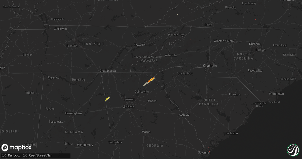
Hail Map on September 25, 2024
Get this storm
September 25 map
$229
one time, instant access
Download today. No call, no setup
Keep the $229
Bought the map and want the full workflow? Apply the entire $229 to a subscription within 7 days. None of it is wasted.
Every map, not just this one
This buys you this map. Subscription and you get every map we run, in the markets you choose from a few cities to whole states to nationwide. Plus real-time alerts the moment a storm fires.
Contact data
Name, contact info, occupancy, even credit band for addresses in the footprint. You go from where it hit to who to call.
Become the source they trust
Unlimited branding weather history reports on demand. You already have the documented answer ready for the property owner, and you are the one who showed up with it.
Property data and RoofTrace estimates
Pull up any address you have got, its value and the exact code rules for that jurisdiction, straight from One Click Code. Then RoofTrace estimates the squares, pitch, and roof value, priced the way you price.
States Impacted by Hail Map on September 25, 2024
Storm reports
Florida
| Date | Description |
|---|---|
| 09/25/202412:30 PM CDT | Powerlines down across military and vilma roads. |
| 09/25/20245:41 AM CDT | Asos station kfll fort lauderdale/hollywood intl airport. |
North Carolina
| Date | Description |
|---|---|
| 09/25/20245:35 PM CDT | Video sent in by a trained spotter showed a rotating funnel and a wall cloud... As well as a transformer blowing in the distance. Time estimated from radar. |
| 09/25/20245:35 PM CDT | Watauga county emergency manager reported that around 100 trees are down in the area... Possibly from a tornado. Time is estimated from radar. |
| 09/25/20245:35 PM CDT | Two trees blown onto roadway and blocked it. Time is estimated from radar. Public report relayed by broadcast media. |
| 09/25/20243:07 PM CDT | Light damage to barn roofs... Greenhouses... And trees down with some debris. |
| 09/24/20249:05 PM CDT | Tree has fallen on power lines... With sparks coming from the line. This was blocking laurel lane in mount airy. Time is estimated from radar. |
Louisiana
| Date | Description |
|---|---|
| 09/25/20242:17 PM CDT | A few trees down along westwood dr. |
| 09/25/20242:14 PM CDT | Multiple trees and fences down in tall timbers neighborhood. |
| 09/25/20242:14 PM CDT | A few trees down around lakeview reg medical center. |
Georgia
| Date | Description |
|---|---|
| 09/25/20245:35 PM CDT | Georgia highway patrol reported a brief touchdown. No damage reported at this time. |
| 09/25/20242:05 PM CDT | A report of trees down in the northern part of habersham. |
West Virginia
| Date | Description |
|---|---|
| 09/25/20245:11 PM CDT | A local report indicates a tornado near 1 NE Hillsboro |
| 09/24/20247:30 PM CDT | Tree has fallen across beckley rd... Between rich creek rd and old spanishburg rd. The tree is blocking most of the roadway. Time is estimated from radar. |
| 09/24/20247:05 PM CDT | Tree fell and blocked both sides of coal heritage rd. Time is estimated from radar. |
Idaho
| Date | Description |
|---|---|
| 09/25/20246:40 PM CDT | Downed tree reported on social media. |
| 09/25/20246:30 PM CDT | Large tree branches down from storm. Sent via social media. |
| 09/25/20246:30 PM CDT | Grain bin blown down and landed on van. |
| 09/24/20248:30 PM CDT | Davis wx station recorded 57 mph gust. One large pine down and some aspen trees. |
| 09/24/20248:30 PM CDT | Perkins lake road is closed from perkins lake to solomon lake road due to multiple powerlines across the road and downed trees. |
| 09/24/20248:28 PM CDT | Roof was torn off a large barn. |
| 09/24/20248:15 PM CDT | Large fir tree downed in moyie springs across from the mill. |
| 09/24/20248:10 PM CDT | Fleming creek road from highway 95 to hagen road is closed due to power lines and trees on the road. |
| 09/24/20248:10 PM CDT | Numerous trees down at the fairgrounds. |
| 09/24/20248:09 PM CDT | Corrects previous non-tstm wnd gst report from 13 ese bayview. Mesonet station maei1 magee peak. |
| 09/24/20248:07 PM CDT | Report from mping: 1-inch tree limbs broken; shingles blown off. |
| 09/24/20248:05 PM CDT | 3328 power outages in shoshone county from storms. |
| 09/24/20248:01 PM CDT | 8193 power outages in latah county from storms. |
| 09/24/20248:01 PM CDT | 1710 power outages in benewah county from storms. |
| 09/24/20248:00 PM CDT | Facebook report of a downed tree in bonners ferry. |
| 09/24/20248:00 PM CDT | Bo80: trees uprooted or snapped off along deep creek road toward bonners ferry. Hail up to pea size. |
| 09/24/20248:00 PM CDT | 18...178 power outages in bonner county from storms. |
| 09/24/20248:00 PM CDT | 3413 outages in boundary county from storms. |
| 09/24/20248:00 PM CDT | 1019 power outages in kootenai county from storms. |
| 09/24/20247:56 PM CDT | Numerous power outages in bonner ferry... Moyie springs... And sandpoint from storms. |
| 09/24/20247:53 PM CDT | Report from mping: 1-inch tree limbs broken; shingles blown off. |
| 09/24/20247:45 PM CDT | Lots of trees down in the selle valley. Several trees in the picture were snapped half way. |
| 09/24/20247:35 PM CDT | Shingles ripped off roof. Several limbs ripped off a weeping willow. |
| 09/24/20247:30 PM CDT | *** 1 fatal *** delayed report: local media reports of tree falling on 17 year old male. |
| 09/24/20247:30 PM CDT | Photo of snapped trees. Report of numerous trees down... All smaller than 12 inches dbh. Fences blown over. Time estimated from radar. |
| 09/24/20247:30 PM CDT | Bmx track damaged by falling trees in travers park in sandpoint... Id. Time estimated by radar. |
| 09/24/20247:30 PM CDT | 3 large trees down at city beach in sandpoint. |
| 09/24/20247:00 PM CDT | Large ponderosa tree snapped near root from storms between 430-500pm. Sent via sm. |
| 09/24/20247:00 PM CDT | Facebook report of tree blown town in oldtown. |
Virginia
| Date | Description |
|---|---|
| 09/25/20246:55 PM CDT | Tree fell into the roadway on rives rd in martinsville... Va. Time is estimated from radar. |
| 09/25/20246:50 PM CDT | Tree down in the middle of old sand rd in ridgeway... Va. Time is estimated from radar. |
| 09/25/20247:30 AM CDT | Tree down near the intersection of chaney lane and howard p anderson road in halifax county virginia. |
| 09/25/202412:07 AM CDT | There were several calls for trees blown down between crozet and charlottesville. |
| 09/24/202410:37 PM CDT | A large tree was down on martin road near axton. Several vehicles had nearly run into the downed tree which was nearly blocking the entire road. |
| 09/24/202410:30 PM CDT | The smyth county 911 center reported that a large tree was down at the intersection of hutton branch road and pierce road in marion... Blocking both lanes of traffic. |
| 09/24/20248:12 PM CDT | Large tree fell onto the roadway and broke apart on wards rd. Time is estimated from radar. |
| 09/24/20248:12 PM CDT | Tree fell across redfields rd near appomattox... Va. Time is estimated from radar. |
| 09/24/20248:05 PM CDT | Downed wires near idlewild blvd in roanoke. Time is estimated from radar. |
| 09/24/20248:00 PM CDT | Thunderstorm winds blew down a tree which covered the east bound lane of u.s. Highway 24. |
| 09/24/20247:50 PM CDT | Thunderstorm winds blew down one tree near the intersection of spring road and scott jacobs memorial drive. |
| 09/24/20247:48 PM CDT | Tree has fallen into roadway... Partially blocking the road with small mudslide into the road about 2-3 feet. Time is estimated from radar. |
| 09/24/20247:42 PM CDT | Tree has fallen onto cedar tree rd near appomattox... Va. Time is estimated from radar. |
| 09/24/20247:24 PM CDT | Large tree down blocking the road near the intersection of cedar hill dr and philpott dr. Time is estimated from radar. |
| 09/24/20247:12 PM CDT | Thunderstorm winds blew down a tree near the intersection of patrick avenue and high ridge street. |
Montana
| Date | Description |
|---|---|
| 09/24/20248:20 PM CDT | Widespread power outages in thompson falls associated with thunderstorm wind damage. Time estimated via radar. |
| 09/24/20248:20 PM CDT | Downed tree at the bottom of cherry creek road. Time estimated via radar. |
South Carolina
| Date | Description |
|---|---|
| 09/25/20245:50 PM CDT | Multiple trees down and small building damaged. Possible tornado. |
| 09/25/20246:35 AM CDT | Beaufort county sheriff's office reported a tree down from a tornado on palmetto bluff in pritchardville. |
| 09/25/20246:30 AM CDT | Beaufort county sheriff's office reported property damage from a tornado on driftwood drive on daufuskie island. |
| 09/25/20246:16 AM CDT | Report relayed of a tree snapped and minor debris on game land road. Possible tornado. |
| 09/25/20246:03 AM CDT | Emergency manager relayed report of trees snapped on stoddard court and also minor roof damage on the 20 block of martinangel lane. Possible tornado. |
Oregon
| Date | Description |
|---|---|
| 09/25/20245:10 PM CDT | Public report to nws employee showed a metal shed had been blown over onto its roof... With frame/walls bent. |
Washington
| Date | Description |
|---|---|
| 09/25/20246:50 PM CDT | Facebook reported of a downed tree. |
| 09/25/20246:50 PM CDT | Report from mping: 1-inch tree limbs broken; shingles blown off. |
| 09/25/20246:47 PM CDT | Report from mping: 1-inch tree limbs broken; shingles blown off. |
| 09/25/20246:45 PM CDT | Large tree 4 feet in diameter blown down. |
| 09/25/20246:45 PM CDT | Large tree branches snapped and fell on camper along with power lines. |
| 09/25/20246:45 PM CDT | Large tree branch broke off of tree and crushed the top of a vehicle. |
| 09/25/20246:40 PM CDT | Image shared on social media shows a large tree uprooted at garry middle school. |
| 09/25/20246:40 PM CDT | Small maple tree downed from wind. Estimated 15 foot tree with 4-5 inch diameter. |
| 09/25/20246:35 PM CDT | Exact location unknown except 5 mile. Weather station recorded 65.3 mph. |
| 09/25/20246:30 PM CDT | Numerous power lines down near intersection of little spokane and wandermere in north spokane. |
| 09/25/20246:30 PM CDT | Downed power line started a fire in the area. |
| 09/25/20246:26 PM CDT | Report from mping: trees uprooted or snapped; roof blown off. |
| 09/25/20246:25 PM CDT | Travel trailer blown over. Exact location south of pullman unknown. |
| 09/25/20246:25 PM CDT | Downed tree corbin park. |
| 09/25/20246:20 PM CDT | Downed tree. |
| 09/25/20246:20 PM CDT | Downed tree. |
| 09/25/20246:20 PM CDT | Large tree branches down. |
| 09/25/20246:18 PM CDT | Photos of a roof blown off a greenhouse. Time estimated from asos. |
| 09/25/20246:16 PM CDT | Corrects previous non-tstm wnd gst report from 2 ene pullman. Asos station kpuw pullman/moscow airport. |
| 09/25/20246:14 PM CDT | Corrects previous non-tstm wnd gst report from 3 se airway heights. Asos station kgeg spokane intl airport. |
| 09/25/20244:50 PM CDT | Emergency manager relays report that multiple trees are down in oroville with damage to roof on at least one home. |
| 09/25/20244:45 PM CDT | Large tree down across from oroville high school. |
| 09/25/20244:43 PM CDT | Multiple trees down... Snapped power poles. Wannacut lake. |
| 09/25/20244:33 PM CDT | Photos of downed and snapped trees. |
| 09/25/20244:32 PM CDT | Report from mping: 1-inch tree limbs broken; shingles blown off. |
| 09/25/20244:30 PM CDT | Photo of downed tree. |
| 09/25/20244:29 PM CDT | Report from mping: trees uprooted or snapped; roof blown off. |
| 09/25/20244:25 PM CDT | Several neighbors lost trees... One orchard had several lines of trees go over... And lost power and internet. |
| 09/24/202410:15 PM CDT | Numerous trees 8 to 12 inches in diameter down on the road. |
| 09/24/20248:30 PM CDT | Corrects previous non-tstm wnd gst report from 2 w pullman. Mesonet station dw6220 pullman. |
| 09/24/20248:04 PM CDT | 7471 power outages in stevens county from storms. |
| 09/24/20248:03 PM CDT | 790 power outages in whitman county from storms. |
| 09/24/20248:03 PM CDT | 2437 power outages in pend oreille county from storms. |
| 09/24/20248:02 PM CDT | 12...394 power outages in spokane county from storms. |
| 09/24/20247:30 PM CDT | Reports from social media indicate several trees down in newport and roof damage. |
| 09/24/20247:29 PM CDT | Numerous trees blown over and roof damaged. |
| 09/24/20247:05 PM CDT | Ws dot reports trees down on us2 just north of fe |
| 09/24/20247:05 PM CDT | Ws dot reports trees down on us2 just north of fertile valley rd. |
| 09/24/20247:00 PM CDT | Time estimated based on radar. Spotter shared picture of large tree snapped near the top that fell on nearby home. |
| 09/24/20247:00 PM CDT | Several large tree branches broken off tops of trees. Some fell on tops of the roof and broke through. Significant roof damage. Also reported blowing debris and dust. |
Cities Impacted by Hail Map on September 25, 2024
- Tamassee, SC
- Salem, SC
- Sunset, SC
- Portland, TN
- Gallatin, TN
- Bethpage, TN
- Westmoreland, TN
- Kingsport, TN
- Gate City, VA
- Edmond, OK
- Oklahoma City, OK
- Colfax, LA
- Dante, VA
- Cedartown, GA
- Piedmont, AL
- Cave Spring, GA
- Lindale, GA
- Clermont, GA
- Cleveland, GA
- Husser, LA
- Amite, LA
- Demorest, GA
- Clarkesville, GA
- Lakemont, GA
- Covington, LA
- Mandeville, LA
- Abita Springs, LA
- Long Creek, SC
- Ponchatoula, LA
- Madisonville, LA
- Mountain Rest, SC
- Westminster, SC
- Slidell, LA
- Lacombe, LA
- Port Lavaca, TX
- Pearl River, LA
- Bay Saint Louis, MS
- Tivoli, TX
- Lake Toxaway, NC
- Edna, TX
- Corpus Christi, TX
- Potlatch, ID
- Newport, WA
- Halifax, VA
- Mount Airy, GA
- Garwood, TX
- Hebbronville, TX
- Rio Grande City, TX
- Roma, TX
- Daufuskie Island, SC
- Bluffton, SC
- Blowing Rock, NC
- Waynesboro, GA
- Marietta, SC
- Roaring River, NC
- Stoneville, NC
- Rockbridge, OH