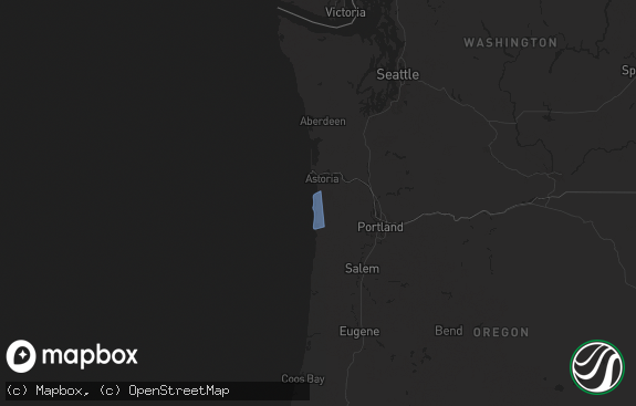
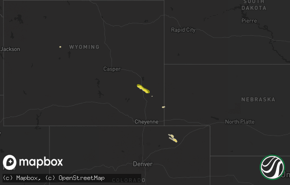
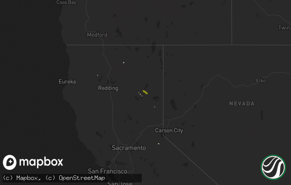
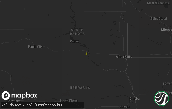
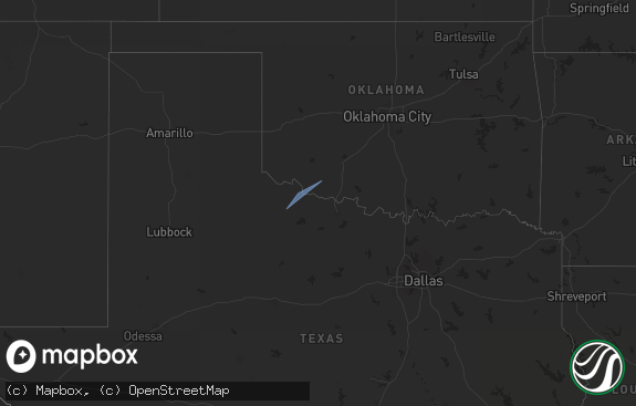
Hail Map in Oregon on July 23, 2020
The weather event in Oregon on July 23, 2020 includes Hail and Wind maps. 30 states and 332 cities were impacted and suffered possible damage. The total estimated number of properties impacted is 13.

Hail
Wind
13
Estimated number of impacted properties by a 1.00" hail or larger0
Estimated number of impacted properties by a 1.75" hail or larger0
Estimated number of impacted properties by a 2.50" hail or largerStorm reports in Oregon
Oregon
| Date | Description |
|---|---|
| 07/23/20206:00 PM CDT | Numerous tree branches down and garbage cans knocked over. |
All States Impacted by Hail Map on July 23, 2020
Cities Impacted by Hail Map on July 23, 2020
- Dunbarton, NH
- Weare, NH
- Bow, NH
- Contoocook, NH
- Hooksett, NH
- Henniker, NH
- Jordan Valley, OR
- Buffalo, SD
- Reva, SD
- Camp Crook, SD
- Interior, SD
- Kadoka, SD
- Prairie City, SD
- Marmarth, ND
- Bruneau, ID
- Grand View, ID
- Boise, ID
- Elizaville, NY
- Tivoli, NY
- Red Hook, NY
- Endicott, NY
- Johnson City, NY
- Great Bend, PA
- Binghamton, NY
- Conklin, NY
- Vestal, NY
- Susquehanna, PA
- Hallstead, PA
- Surgoinsville, TN
- Church Hill, TN
- Rogersville, TN
- Elizabethton, TN
- Roan Mountain, TN
- Unicoi, TN
- Hampton, TN
- Johnson City, TN
- Jonesborough, TN
- Erwin, TN
- Molt, MT
- Columbus, MT
- Park City, MT
- Reed Point, MT
- Big Timber, MT
- Coffee Creek, MT
- Geraldine, MT
- Outlook, MT
- Plentywood, MT
- Westmoreland, NH
- Putney, VT
- Newburyport, MA
- Salisbury, MA
- Newbury, MA
- Amherst, MA
- Belchertown, MA
- Granby, MA
- Ware, MA
- South Hadley, MA
- Andover, MA
- Lawrence, MA
- Boxford, MA
- Methuen, MA
- North Andover, MA
- Glendive, MT
- Wibaux, MT
- Baker, MT
- Larslan, MT
- Peerless, MT
- Frazer, MT
- Greensboro, NC
- Maxbass, ND
- Westhope, ND
- Upham, ND
- Kramer, ND
- Lansford, ND
- Souris, ND
- Newburg, ND
- Glenburn, ND
- Berthold, ND
- Scobey, MT
- Riverside, OR
- Plaza, ND
- Parshall, ND
- Ryder, ND
- Wellington, TX
- Port Haywood, VA
- Onemo, VA
- Yucca, AZ
- Wray, CO
- Haigler, NE
- Matador, TX
- Redstone, MT
- Wolf Point, MT
- Tioga, ND
- Des Lacs, ND
- Miami, TX
- Dickens, TX
- Afton, TX
- Grimesland, NC
- Washington, NC
- Teasdale, UT
- Norfolk, CT
- Carpio, ND
- Parksley, VA
- Bloxom, VA
- Goffstown, NH
- Manchester, NH
- Lillington, NC
- Pinckneyville, IL
- Cutler, IL
- Belle Fourche, SD
- Sainte Genevieve, MO
- Germantown, NY
- Ancram, NY
- Hudson, NY
- Shamrock, TX
- Saint Francis, KS
- Stratton, CO
- Bethune, CO
- Skull Valley, AZ
- Bowbells, ND
- Murphy, ID
- Barhamsville, VA
- Sunbury, NC
- Hobbsville, NC
- Vale, NC
- Wendell, NC
- Snyder, TX
- Mclean, TX
- Alamo, ND
- Ray, ND
- Epping, ND
- Flaxton, ND
- Dillon, MT
- Spencer, VA
- Martinsville, VA
- Supai, AZ
- Palermo, ND
- Stanley, ND
- Donnybrook, ND
- Waterloo, IL
- Weatherford, OK
- Williston, ND
- Aspermont, TX
- Dagmar, MT
- Medicine Lake, MT
- Sherwood, ND
- Tolley, ND
- Kenmare, ND
- Kirkland, AZ
- Reserve, MT
- Burlington, ND
- Richey, MT
- Paducah, TX
- Lignite, ND
- Turkey, TX
- Merry Hill, NC
- Blackfoot, ID
- Roxbury, MA
- Boston, MA
- Roxbury Crossing, MA
- Minot Afb, ND
- Bottineau, ND
- Savage, MT
- Newell, SD
- Conowingo, MD
- Colora, MD
- Williams, AZ
- Hanksville, UT
- Thompsonville, IL
- Edenton, NC
- West Point, KY
- Bulls Gap, TN
- Greeneville, TN
- Spring Hope, NC
- Williamston, NC
- Crosbyton, TX
- Weinert, TX
- Mohall, ND
- Falls Village, CT
- Hillsboro, MO
- Rocky Hill, NJ
- Princeton, NJ
- Belle Mead, NJ
- Skillman, NJ
- Red Bud, IL
- Evansville, IL
- Duchesne, UT
- Nortonville, KY
- West Memphis, AR
- Zebulon, NC
- Middlesex, NC
- Ava, IL
- Oxford, NC
- Powers Lake, ND
- Lambert, MT
- Bloomfield, MT
- Dell, MT
- Lima, MT
- Washington, DC
- Lansdale, PA
- Hatfield, PA
- Sedgewickville, MO
- Perryville, MO
- Whitakers, NC
- Newsoms, VA
- Courtland, VA
- Bremen, KY
- Monument Valley, UT
- Lexington, NC
- Thomasville, NC
- Sanford, NC
- Moncure, NC
- Nashville, NC
- Sidney, MT
- Fairview, MT
- Craryville, NY
- Piscataway, NJ
- Rhinebeck, NY
- Port Ewen, NY
- Ulster Park, NY
- Staatsburg, NY
- Carthage, TN
- Pleasant Shade, TN
- Louisburg, NC
- Bunn, NC
- Patrick Springs, VA
- Bassett, VA
- Fieldale, VA
- Unionville, TN
- Selmer, TN
- Stantonville, TN
- Ludlow, SD
- Claverack, NY
- Hollowville, NY
- Hillsdale, NY
- Burlington, CO
- Elkton, MD
- Firth, ID
- Virginia Beach, VA
- Hertford, NC
- Kenly, NC
- Fremont, NC
- Bloomsdale, MO
- Linden, NC
- Bunnlevel, NC
- Makoti, ND
- Dayton, NJ
- Matawan, NJ
- South Amboy, NJ
- Old Bridge, NJ
- Spotswood, NJ
- East Brunswick, NJ
- Englishtown, NJ
- Monroe Township, NJ
- Morganville, NJ
- Sayreville, NJ
- Helmetta, NJ
- Montauk, NY
- West Frankfort, IL
- Prairie Du Rocher, IL
- Fults, IL
- Baldwin, IL
- Memphis, TN
- Watonga, OK
- Hitchcock, OK
- Lenoir City, TN
- Grady, NM
- Tucumcari, NM
- Froid, MT
- Bainville, MT
- Holyoke, CO
- Ayer, MA
- South Boston, MA
- Dorchester, MA
- Elizabeth City, NC
- Fuquay Varina, NC
- Williamsburg, VA
- Spring Grove, VA
- Roaring River, NC
- Plymouth, NC
- Whiteville, TN
- Middleton, TN
- Hermleigh, TX
- Poplar, MT
- Arlington, VA
- Alexandria, VA
- Vernon, CO
- Parks, NE
- Bridgewater, NJ
- Somerville, NJ
- Sedley, VA
- Zuni, VA
- Ivor, VA
- Franklin, VA
- Clinton, NC
- Culbertson, MT
- Coalville, UT
- Holmdel, NJ
- Lincroft, NJ
- Colts Neck, NJ
- Battletown, KY
- Pikeville, KY
- Gatesville, NC
- Tyner, NC
- Belvidere, NC
- Eagleville, TN
- Rockvale, TN
- Chocowinity, NC
- Rexburg, ID
- Boulder, MT
- Stanley, ID
- Milltown, NJ
- North Brunswick, NJ
- Robbinsville, NJ
- Millstone Township, NJ
- Allentown, NJ
- Auburn, NH
- Bradford, NH
- Warner, NH
- Mountain Home Afb, ID
- West Point, VA
- Montross, VA
- Winton, NC
- Eure, NC
- Central City, KY
- Smithfield, NC
- Ahoskie, NC
- Shannon, NC
- Red Springs, NC
- Broadway, NC
- Thomas, OK
- Elida, NM
