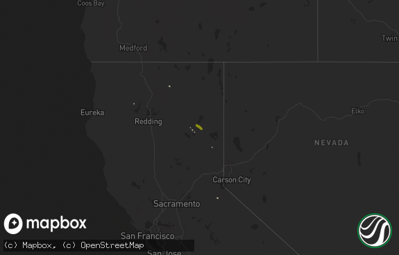
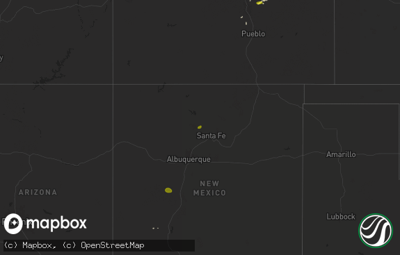
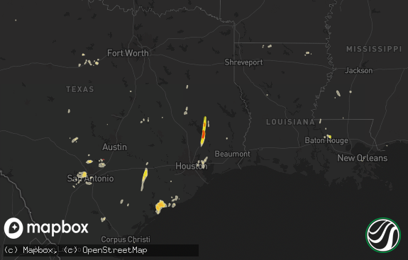
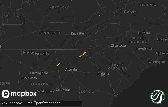
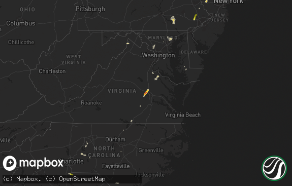
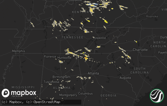
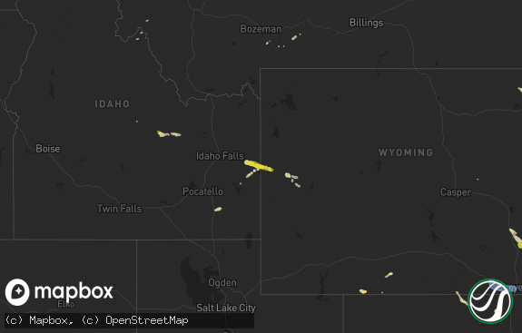
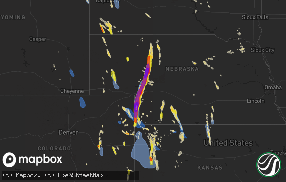
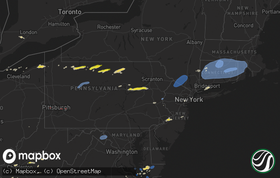
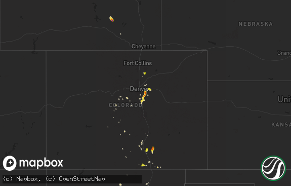
Hail Map in Washington on July 20, 2012
The weather event in Washington on July 20, 2012 includes Hail map. 24 states and 452 cities were impacted and suffered possible damage. The total estimated number of properties impacted is 0.

Hail
0
Estimated number of impacted properties by a 1.00" hail or larger0
Estimated number of impacted properties by a 1.75" hail or larger0
Estimated number of impacted properties by a 2.50" hail or largerStorm reports in Washington
Washington
| Date | Description |
|---|---|
| 07/20/20126:32 PM CDT | Strong winds brought 50yr old pine trees down. Very hard rain at time of report. 2 to 4 foot waves on lake curlew. |
| 07/20/20126:30 PM CDT | Several trees down due to strong winds. |
| 07/20/20126:26 PM CDT | Downed trees and power lines temporarily blocking sr 395. |
| 07/20/20126:26 PM CDT | Trees down on sr 20 at sherman pass. Road temporarily closed due to downed trees. |
| 07/20/20126:15 PM CDT | *** 1 fatal *** woman killed by falling tree while camping along trout creek. |
| 07/20/20126:00 PM CDT | Numerous large trees and power poles downed in and around republic between 4 pm and 430 pm. Trees on house reported and numerous trees down on highway 20 causing blocka |
| 07/20/20125:46 PM CDT | Trees and power lines down on cache creek road |
| 07/20/20125:42 PM CDT | Trees and power lines down on highway 21 |
| 07/20/20125:40 PM CDT | Post office building sustained roof damage. Rain entered office lobby and resulted in minor water damage. Dime size also reported with storm. |
| 07/20/20125:35 PM CDT | Trees down on silver creek road |
| 07/20/20125:30 PM CDT | Trees down on manilla creek rd |
| 07/20/20125:30 PM CDT | Nespelem school had trees 10 to 12 inches fall and damage to a dumpster due to high winds. |
| 07/20/20125:30 PM CDT | Trees down on houses |
| 07/20/20125:30 PM CDT | Numerous trees fell on houses in the town of keller. Several houses were damaged or destroyed. |
| 07/20/20125:30 PM CDT | One large tree and some smaller trees blown down onto highway 155. Also some mud and debris washed onto the road. |
| 07/20/20125:25 PM CDT | A few trees and numerous tree limbs were blown down. |
| 07/20/20125:00 PM CDT | Trees reported down on w. Ridge drive |
| 07/20/20124:35 PM CDT | A local report indicates 1.00 inch wind near 8 SE POMEROY |
| 07/20/20124:30 PM CDT | Tree fell and knocked out powerline near york and washington. |
| 07/20/20124:30 PM CDT | At camp wooten state park slightly smaller than golf ball sized hail was reported with heavy rain. The largest hail stones ranged from quarter sized to ping pong ball s |
| 07/20/20124:30 PM CDT | At camp wooten state park slightly smaller than golf ball sized hail was reported with heavy rain. The largest hail stones ranged from quarter sized to ping pong ball s |
| 07/20/20124:07 PM CDT | A local report indicates 1.25 inch wind near 11 SE STRATFORD |
| 07/20/20123:50 PM CDT | A local report indicates 1.00 inch wind near 7 NW MOSES LAKE |
| 07/20/20123:35 PM CDT | A local report indicates 1.75 inch wind near 3 W MOSES LAKE |
| 07/20/20123:15 PM CDT | Half dollar size hail. Broke one window. Hail and wind also caused window trim from 5 windows to be broken off. Corn broken in field as well as alfalfa laying down. |
| 07/20/20123:02 PM CDT | Hailstorm occurred on the north side of sunnyside. Dime size hail began at 100 pm. The hail grew to quarter size at 102 pm. Quarter size hail continued falling from 102 |
| 07/20/20123:00 PM CDT | Radio operator reported 1 inch hail. Hail responsible for damaging 3 vehicles and breaking 2 house windows. |
| 07/20/20122:55 PM CDT | Vantage washington dot sensor |
| 07/20/20122:40 PM CDT | Golf ball and larger hail. |
| 07/20/20122:35 PM CDT | A local report indicates 1.25 inch wind near SUNNYSIDE |
All States Impacted by Hail Map on July 20, 2012
Cities Impacted by Hail Map on July 20, 2012
- Moses Lake, WA
- Outlook, WA
- Sunnyside, WA
- Moxee, WA
- Zachary, LA
- Slaughter, LA
- Pride, LA
- Weston, OR
- Pelkie, MI
- Cody, NE
- Trout Creek, MT
- Kingston, ID
- Wallace, ID
- Roscoe, SD
- Humphrey, AR
- Woodworth, LA
- Elmer, LA
- Trail City, SD
- Trego, WI
- Spooner, WI
- Springbrook, WI
- Marlin, WA
- Yampa, CO
- Toponas, CO
- Pocahontas, TN
- Midland, SD
- Philip, SD
- Plaquemine, LA
- Nespelem, WA
- Helix, OR
- Lower Brule, SD
- Kennewick, WA
- Echo, OR
- Pendleton, OR
- Lapwai, ID
- Juliaetta, ID
- Lenore, ID
- Culdesac, ID
- Lewiston, ID
- Kendrick, ID
- Genesee, ID
- Norcross, MN
- Mansfield, WA
- Jena, LA
- Jonesville, LA
- Pollock, LA
- Deville, LA
- Miller, SD
- Wessington Springs, SD
- Gann Valley, SD
- Milton Freewater, OR
- Adams, OR
- Climax, NC
- Mattawa, WA
- Royal City, WA
- Aberdeen, NC
- Touchet, WA
- Burbank, WA
- Prescott, WA
- Norris, SD
- Parmelee, SD
- Republic, MI
- Champion, MI
- New Iberia, LA
- Ephrata, WA
- Greenwell Springs, LA
- Clinton, LA
- Royalton, MN
- Pierz, MN
- Glenmora, LA
- Hineston, LA
- Custer, SD
- Hibbing, MN
- Dunn, NC
- Grapevine, TX
- Dallas, TX
- Hoffman, MN
- Barrett, MN
- Deary, ID
- Orofino, ID
- Pitkin, LA
- Elk River, ID
- Artesian, SD
- Alexandria, LA
- Pineville, LA
- Ethel, LA
- Asotin, WA
- Clarkston, WA
- Anatone, WA
- Enterprise, OR
- Ipswich, SD
- Pomeroy, WA
- Rathdrum, ID
- Blue Springs, MS
- Meacham, OR
- Dayton, WA
- Pilot Rock, OR
- La Grande, OR
- Brooksville, MS
- Forbes, MN
- Mountain Iron, MN
- Saint Francisville, LA
- Columbia, LA
- Olla, LA
- Kelly, LA
- Lidgerwood, ND
- Hankinson, ND
- Lamar, MS
- Holly Springs, MS
- Presho, SD
- Kennebec, SD
- Osyka, MS
- Lanse, MI
- Oak Park, MN
- Foreston, MN
- Thompson Falls, MT
- Lancaster, SC
- Kellogg, ID
- Forest Lake, MN
- Harrold, SD
- Ville Platte, LA
- Foley, MN
- Milesville, SD
- Wilson Creek, WA
- Atlantic Mine, MI
- Mound City, SD
- Fort Worth, TX
- Aledo, TX
- Washington, LA
- Lecompte, LA
- Saint Maries, ID
- Plummer, ID
- Watertown, SD
- Norwood, CO
- Ridgway, CO
- Ishpeming, MI
- Baldwyn, MS
- Guntown, MS
- Mantachie, MS
- Spirit Lake, ID
- Priest River, ID
- Erath, LA
- Abbeville, LA
- Quincy, WA
- Osakis, MN
- Heppner, OR
- Liberty, MS
- Magnolia, MS
- Kentwood, LA
- Loranger, LA
- Spearfish, SD
- Sturgis, SD
- Whitewood, SD
- Saint Joseph, LA
- Trezevant, TN
- Huntingdon, TN
- Grand Coulee, WA
- Saint Regis, MT
- De Borgia, MT
- Fort Thompson, SD
- Vass, NC
- Cameron, NC
- Fort Bragg, NC
- Mineral Springs, AR
- Skanee, MI
- Otis, LA
- Rock Island, WA
- New Bern, NC
- Gateway, CO
- Glade Park, CO
- Milaca, MN
- Altheimer, AR
- Wabbaseka, AR
- Mer Rouge, LA
- Bonita, LA
- Calder, ID
- Atwood, TN
- Omak, WA
- Independence, LA
- Ree Heights, SD
- Amory, MS
- Dewitt, VA
- Dinwiddie, VA
- Cape Coral, FL
- Humboldt, TN
- Jackson, TN
- Tieton, WA
- Naches, WA
- Cowiche, WA
- Pollocksville, NC
- Big Lake, MN
- Aurora, NC
- Harrison, ID
- Worley, ID
- Highmore, SD
- Dodson, MT
- Harlem, MT
- Oxford, MS
- Abbeville, MS
- Mora, MN
- Brook Park, MN
- Othello, WA
- Jeanerette, LA
- Ashton, SD
- Okolona, MS
- Baraga, MI
- Roper, NC
- Plymouth, NC
- Cherry Creek, SD
- Crowley, LA
- Kaplan, LA
- Gueydan, LA
- Rice, MN
- Draper, SD
- Letcher, SD
- Grayson, LA
- West Monroe, LA
- Macon, MS
- Bentley, LA
- Dry Prong, LA
- Manns Harbor, NC
- Eagle Butte, SD
- Trout, LA
- McKenzie, TN
- Michigamme, MI
- Ford, VA
- Opelousas, LA
- Chamberlain, SD
- Avon, MN
- Holdingford, MN
- Browning, MT
- Superior, MT
- Estero, FL
- Coulee City, WA
- Wallace, NC
- Claire City, SD
- Brimson, MN
- Lake Arthur, LA
- Woonsocket, SD
- Alpena, SD
- Chassell, MI
- Lockesburg, AR
- Tylertown, MS
- Franklinton, LA
- Randolph, MS
- Houlka, MS
- Sieper, LA
- Leesville, LA
- Pine City, MN
- Grantsburg, WI
- Hollow Rock, TN
- Mansfield, TN
- Hinckley, MN
- Wauconda, WA
- Okanogan, WA
- Northville, SD
- Hill City, SD
- Newcastle, WY
- Livingston, LA
- Kimball, SD
- Houston, MS
- Woodland, MS
- Sewanee, TN
- Monteagle, TN
- Saint Cloud, MN
- Sauk Rapids, MN
- Julian, NC
- Pleasant Garden, NC
- Newton, MS
- Waite Park, MN
- Lead, SD
- Wilmot, AR
- Hillman, MN
- Browerville, MN
- Little Falls, MN
- Randall, MN
- Franklin, LA
- Danbury, WI
- Chattanooga, TN
- Basalt, CO
- Harrington, WA
- Medina, TN
- Bells, TN
- Blanchard, ID
- Toivola, MI
- Pasco, WA
- Eureka, SD
- Denham Springs, LA
- Sagle, ID
- Jackson, LA
- White River, SD
- Lake Charles, LA
- Iowa, LA
- Liberty, NC
- Stuttgart, AR
- Amite, LA
- Husser, LA
- Martin, SD
- Palmer, TX
- Mount Hermon, LA
- Jennings, LA
- Newellton, LA
- Rockham, SD
- Loudon, TN
- Kingston, TN
- Dierks, AR
- Rossville, GA
- Ringgold, GA
- Saint Onge, SD
- Wessington, SD
- Wheaton, MN
- Peck, ID
- Stanfield, OR
- Walker, LA
- Holden, LA
- Malaga, WA
- Okolona, AR
- Delight, AR
- Antoine, AR
- Soap Lake, WA
- Veblen, SD
- Cayuga, ND
- Fort Pierre, SD
- Texarkana, TX
- Florence, SD
- Grady, AR
- Pikeville, NC
- Goldsboro, NC
- Raeford, NC
- Senatobia, MS
- Como, MS
- Boyce, LA
- Saltillo, MS
- Rosholt, SD
- Little Rock, MS
- Havana, ND
- Noxon, MT
- Lottie, LA
- Maringouin, LA
- Princeton, MN
- Eckerman, MI
- Wyoming, MN
- Scandia, MN
- Crystal Falls, MI
- Channing, MI
- Onamia, MN
- Mellette, SD
- Smelterville, ID
- Pinehurst, ID
- Houma, LA
- Naples, FL
- Bonita Springs, FL
- Cheneyville, LA
- Oakdale, LA
- Forest Hill, LA
- Tracy City, TN
- Carville, LA
- White Castle, LA
- Middleton, TN
- Onida, SD
- Saint Joseph, MN
- Sartell, MN
- Weatherford, TX
- Springtown, TX
- Gould, AR
- Poolville, TX
- Ritzville, WA
- Whitewater, CO
- Labadieville, LA
- Napoleonville, LA
- Richlands, NC
- La Follette, TN
- Welsh, LA
- Decatur, MS
- Lawrence, MS
- Snowmass, CO
- Wahkon, MN
- Isle, MN
- Bear Creek, NC
- Roseland, LA
- Madisonville, TN
- Sweetwater, TN
- Marine On Saint Croix, MN
- Orr, MN
- Maurepas, LA
- Nettleton, MS
- Columbia, NC
- Bruce, MS
- Pontotoc, MS
- Vardaman, MS
- Columbia, MS
- Saint Francis, MN
- Zimmerman, MN
- Isanti, MN
- Lawrenceburg, TN
- Arnaudville, LA
- Carencro, LA
- Greensburg, LA
- Sikes, LA
- Wood, SD
- Vivian, SD
- Scranton, NC
- Elk River, MN
- Oak Grove, LA
- Waverly, VA
- Courtland, VA
- Ada, OK
- Kinder, LA
- Britton, SD
- Burtrum, MN
- Albany, MN
- Freeport, MN
- Jones, LA
- Pinebluff, NC
- Wagram, NC
- Marston, NC
- Hoffman, NC
- Gleason, TN
- Tullos, LA
- Orondo, WA
- Holabird, SD
- Southern Pines, NC
- Foster City, MI
- Glen Allan, MS
- Savannah, GA
- Morse, LA
- Crane Lake, MN
- Roanoke, LA
- Tillar, AR
- Donaldsonville, LA
- Pine Grove, LA
- Ethridge, TN
- Saltese, MT
- Haugan, MT
- Stone Mountain, GA
- Lilburn, GA
- Bokeelia, FL
- Saint James City, FL
- Pierre, SD
- Fernwood, ID
- England, AR
- Tucker, AR
- Guin, AL
- Hayes, SD
- Shannon, MS
- Nashville, AR
- Booneville, MS
- Baton Rouge, LA
- Saint Gabriel, LA
- Walnut, MS
- Vaughn, MT
- Monroe, LA

