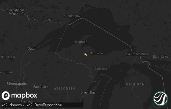
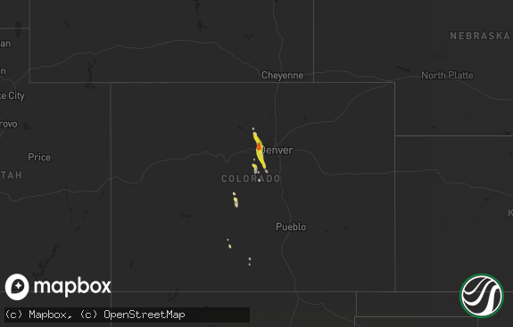
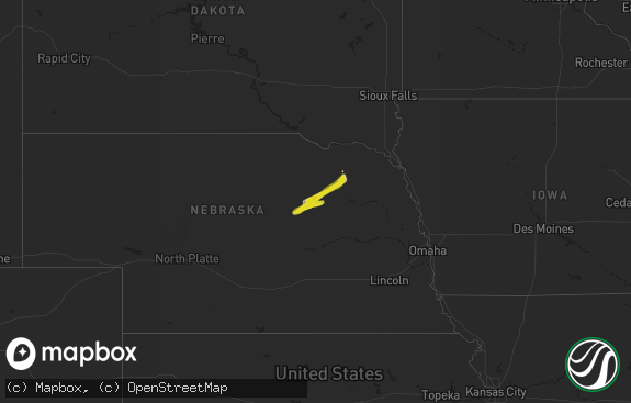
Hail Map in Michigan on October 3, 2018
The weather event in Michigan on October 3, 2018 includes Hail map. 9 states and 103 cities were impacted and suffered possible damage. The total estimated number of properties impacted is 0.

Hail
0
Estimated number of impacted properties by a 1.00" hail or larger0
Estimated number of impacted properties by a 1.75" hail or larger0
Estimated number of impacted properties by a 2.50" hail or largerStorm reports in Michigan
Michigan
| Date | Description |
|---|---|
| 10/03/20186:14 PM CDT | Several large hardwood and softwood trees with a diameter of 8 inches or greater where snapped along benton lake rd. In norway township on wednesday... 10/03/18. Delaye |
| 10/03/20185:56 PM CDT | Power lines down. Time estimated by radar. |
| 10/03/20185:55 PM CDT | Corrects time and event type for previous damage report from 1 nne iron mountain. Tree down across a power line. Delayed report via social media. |
| 10/03/20186:54 AM CDT | At 1153 PM EDT, a severe thunderstorm was located over Grand Traverse Light, moving east at 65 mph. HAZARD...60 mph wind gusts. SOURCE...Radar indicated. IMPACT...Expect damage to roofs, siding, and trees. Locations impacted include... Petoskey, Boyne City, Charlevoix, East Jordan, Harbor Springs, Indian River, Conway, Aloha, Alanson, Boyne Falls, Wolverine, Aloha State Park, Young State Park, Reasoners Corner, Ironton, Horton Bay, Alverno, Clarion, Burt Lake and Walloon Lake. |
| 10/03/20184:28 AM CDT | At 928 PM EDT/828 PM CDT/, a severe thunderstorm was located near U.S. 141 between Covington and Amasa, or 18 miles north of Iron River, moving east at 65 mph. HAZARD...60 mph wind gusts and nickel size hail. SOURCE...Radar indicated. IMPACT...Expect damage to roofs, siding, and trees. Locations impacted include... Michigamme, Squaw Lake, Amasa, U.S. 141 between Covington and Amasa, Lake Michigamme, Witch Lake, Republic, Silver Lake near Channing, Ned Lake and Bone Lake. |
| 10/03/20182:19 AM CDT | At 718 PM EDT/618 PM CDT/, a severe thunderstorm was located 7 miles west of La Branche, or 21 miles east of Iron Mountain, moving east at 70 mph. HAZARD...70 mph wind gusts. SOURCE...Radar indicated. IMPACT...Expect considerable tree damage. Damage is likely to mobile homes, roofs, and outbuildings. Locations impacted include... Escanaba, Gladstone, Rapid River, Powers, Hermansville, La Branche, Ford River, Wilson, Spalding, Bark River, Brampton and Whitney. |
| 10/02/201811:08 PM CDT | Mesonet station d7501... Ironton. |
| 10/02/201811:00 PM CDT | Asos station pln... Pellston - rgnl airport of emmet county. |
| 10/02/201810:59 PM CDT | At 359 PM CDT, severe thunderstorms were located along a line extending from 10 miles south of Gile, to 6 miles northwest of Mercer, to near Turtle Flambeau Flowage, to 8 miles northeast of Butternut, moving east at 65 mph. HAZARD...60 mph wind gusts and nickel size hail. SOURCE...Radar indicated. IMPACT...Expect damage to roofs, siding, and trees. Locations impacted include... Turtle Flambeau Flowage, Mercer, Long Lake In Iron County, Manitowish, Fisher Lake, and Island Lake Iron County. |
| 10/02/201810:45 PM CDT | Several trees down. |
| 10/02/201810:15 PM CDT | At 315 PM CDT, severe thunderstorms were located along a line extending from near Mellen, to 6 miles west of Glidden, to 9 miles southwest of Clam Lake, moving east at 65 mph. HAZARD...70 mph wind gusts and quarter size hail. SOURCE...Radar indicated. IMPACT...Hail damage to vehicles is expected. Expect considerable tree damage. Wind damage is also likely to mobile homes, roofs, and outbuildings. Locations impacted include... Turtle Flambeau Flowage, Hurley, Mercer, Mellen, Glidden, Clam Lake, Upson, Gile, Montreal, Morse, Pence, Long Lake In Iron County, Van Buskirk, Gile Flowage, Manitowish, Island Lake Iron County, Fisher Lake, Ghost Lake, Iron Belt, and Day Lake. |
All States Impacted by Hail Map on October 3, 2018
Cities Impacted by Hail Map on October 3, 2018
- Saint Paul, MN
- Prentice, WI
- Keshena, WI
- Winterhaven, CA
- Niland, CA
- Macksville, KS
- Belpre, KS
- Irma, WI
- Baker, CA
- Yucca, AZ
- Parker Dam, CA
- Lake Tomahawk, WI
- Harshaw, WI
- Tomahawk, WI
- Kennan, WI
- Hawkins, WI
- Tripoli, WI
- Rhinelander, WI
- Catawba, WI
- Phillips, WI
- Hazelhurst, WI
- Brantwood, WI
- Glen Flora, WI
- Palisade, CO
- Thompson, UT
- Green River, UT
- Calipatria, CA
- Sylvia, KS
- St John, KS
- Wakefield, KS
- Hayward, WI
- Munising, MI
- Clifton, CO
- Needles, CA
- New Virginia, IA
- Wendover, UT
- Plevna, KS
- Raymond, KS
- Hudson, KS
- Stafford, KS
- Mount Ayr, IA
- Manhattan, KS
- Hudson, WI
- Roberts, WI
- Springbrook, WI
- Orderville, UT
- Glendale, UT
- Kingman, AZ
- Afton, MN
- Sterling, KS
- Hutchinson, KS
- Inman, KS
- Pound, WI
- Alden, KS
- Buhler, KS
- Glidden, WI
- Grantsburg, WI
- Chetek, WI
- Ellsworth, WI
- River Falls, WI
- La Porte City, IA
- Redding, IA
- Kellerton, IA
- Burrton, KS
- Longford, KS
- Clay Center, KS
- Golden Valley, AZ
- Peshtigo, WI
- Oconto, WI
- Saint Charles, IA
- Indio, CA
- Dinosaur, CO
- Chanhassen, MN
- Eden Prairie, MN
- Elmwood, WI
- Mondovi, WI
- Inver Grove Heights, MN
- Chapman, KS
- Abilene, KS
- Avenal, CA
- Abbyville, KS
- Durand, WI
- South Saint Paul, MN
- Newport, MN
- Gleason, WI
- Minneapolis, MN
- Westmorland, CA
- Zumbrota, MN
- Wanamingo, MN
- Butternut, WI
- Fort Riley, KS
- Ogden, KS
- Riley, KS
- Suring, WI
- New Hampton, IA
- Fredericksburg, IA
- Alta Vista, KS
- Eskridge, KS
- Alma, KS
- Moundridge, KS
- Mohave Valley, AZ
- Fort Mohave, AZ
- Tony, WI


