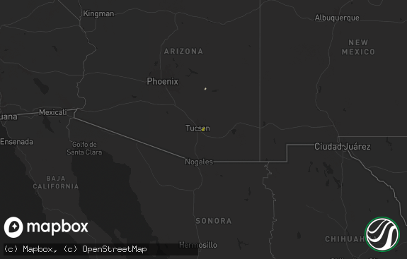
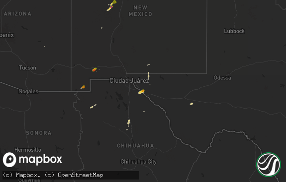
Hail Map in Arizona on October 3, 2018
The weather event in Arizona on October 3, 2018 includes Hail map. 9 states and 103 cities were impacted and suffered possible damage. The total estimated number of properties impacted is 4,325.

Hail
4,325
Estimated number of impacted properties by a 1.00" hail or larger0
Estimated number of impacted properties by a 1.75" hail or larger0
Estimated number of impacted properties by a 2.50" hail or largerStorm reports in Arizona
Arizona
| Date | Description |
|---|---|
| 10/03/20182:09 AM CDT | At 708 PM MDT, a severe thunderstorm was located 7 miles north of Gray Mountain, moving northeast at 25 to 30 mph. HAZARD...60 mph wind gusts and quarter size hail. SOURCE...Radar indicated. IMPACT...Hail damage to vehicles is expected. Expect wind damage to roofs, siding, and trees. Locations impacted include... Cameron.This includes the following highways... State Route 64 between mile markers 286 and 295. U.S. Highway 89 between mile markers 461 and 478. |
| 10/03/201812:54 AM CDT | Ndot mesonet site recorded a measured wind gust of 60 mph. |
| 10/02/201811:50 PM CDT | Social media post reported quarter sized hail at fort mohave along the colorado river. |
| 10/02/201811:42 PM CDT | At 442 PM MST, a severe thunderstorm was located near St. Johns, or 32 miles north of Springerville, moving northeast at 30 mph. HAZARD...60 mph wind gusts and quarter size hail. SOURCE...Radar indicated. IMPACT...Hail damage to vehicles is expected. Expect wind damage to roofs, siding, and trees. Locations impacted include... Zion Reservoir.This includes the following highways... Highway 191 161 between mile markers 319 and 334. Highway 180 between mile markers 352 and 356. |
| 10/02/201811:26 PM CDT | At 425 PM MST, a pair of severe thunderstorms were located 10 miles southwest of Parks, moving northeast at 25 to 30 mph. HAZARD...60 mph wind gusts and half dollar size hail. SOURCE...Radar indicated. IMPACT...Hail damage to vehicles is expected. Expect wind damage to roofs, siding, and trees. Locations impacted include... Parks, Raymond Boy Scout Camp, Dogtown Lake Campground and White Horse Lake Campground.This includes the following highways... Interstate 40 between mile markers 168 and 186. Highway 180 near mile marker 226. |
| 10/02/201811:19 PM CDT | At 418 PM MST/518 PM MDT/, a severe thunderstorm was located 13 miles northeast of Winslow, moving northeast at 20 mph. HAZARD...60 mph wind gusts and half dollar size hail. SOURCE...Radar indicated. IMPACT...Hail damage to vehicles is expected. Expect wind damage to roofs, siding, and trees. This severe thunderstorm will remain over mainly rural areas of Navajo County.This includes State Route 87 between mile markers 356 and 371. |
| 10/02/201810:25 PM CDT | At 325 PM MST, a severe thunderstorm was located 7 miles east of Ash Fork, moving north at 30 mph. HAZARD...60 mph wind gusts and quarter size hail. SOURCE...Radar indicated. IMPACT...Hail damage to vehicles is expected. Expect wind damage to roofs, siding, and trees. Locations impacted include... Ash Fork Hill, west of Williams.This includes Interstate 40 between mile markers 150 and 157, andbetween mile markers 161 and 163. |
| 10/02/201810:02 PM CDT | At 300 PM MST, a severe thunderstorm was located 12 miles northeast of Paulden, moving northeast at 25 mph. HAZARD...60 mph wind gusts and half dollar size hail. SOURCE...Radar indicated. IMPACT...Hail damage to vehicles is expected. Expect wind damage to roofs, siding, and trees. This severe thunderstorm will remain over rural areas Yavapai and Coconino Counties, located east of SR89 and south of I-40.This includes the following highways...State Route 89 between mile markers 349 and 355. |
All States Impacted by Hail Map on October 3, 2018
Cities Impacted by Hail Map on October 3, 2018
- Saint Paul, MN
- Prentice, WI
- Keshena, WI
- Winterhaven, CA
- Niland, CA
- Macksville, KS
- Belpre, KS
- Irma, WI
- Baker, CA
- Yucca, AZ
- Parker Dam, CA
- Lake Tomahawk, WI
- Harshaw, WI
- Tomahawk, WI
- Kennan, WI
- Hawkins, WI
- Tripoli, WI
- Rhinelander, WI
- Catawba, WI
- Phillips, WI
- Hazelhurst, WI
- Brantwood, WI
- Glen Flora, WI
- Palisade, CO
- Thompson, UT
- Green River, UT
- Calipatria, CA
- Sylvia, KS
- St John, KS
- Wakefield, KS
- Hayward, WI
- Munising, MI
- Clifton, CO
- Needles, CA
- New Virginia, IA
- Wendover, UT
- Plevna, KS
- Raymond, KS
- Hudson, KS
- Stafford, KS
- Mount Ayr, IA
- Manhattan, KS
- Hudson, WI
- Roberts, WI
- Springbrook, WI
- Orderville, UT
- Glendale, UT
- Kingman, AZ
- Afton, MN
- Sterling, KS
- Hutchinson, KS
- Inman, KS
- Pound, WI
- Alden, KS
- Buhler, KS
- Glidden, WI
- Grantsburg, WI
- Chetek, WI
- Ellsworth, WI
- River Falls, WI
- La Porte City, IA
- Redding, IA
- Kellerton, IA
- Burrton, KS
- Longford, KS
- Clay Center, KS
- Golden Valley, AZ
- Peshtigo, WI
- Oconto, WI
- Saint Charles, IA
- Indio, CA
- Dinosaur, CO
- Chanhassen, MN
- Eden Prairie, MN
- Elmwood, WI
- Mondovi, WI
- Inver Grove Heights, MN
- Chapman, KS
- Abilene, KS
- Avenal, CA
- Abbyville, KS
- Durand, WI
- South Saint Paul, MN
- Newport, MN
- Gleason, WI
- Minneapolis, MN
- Westmorland, CA
- Zumbrota, MN
- Wanamingo, MN
- Butternut, WI
- Fort Riley, KS
- Ogden, KS
- Riley, KS
- Suring, WI
- New Hampton, IA
- Fredericksburg, IA
- Alta Vista, KS
- Eskridge, KS
- Alma, KS
- Moundridge, KS
- Mohave Valley, AZ
- Fort Mohave, AZ
- Tony, WI


