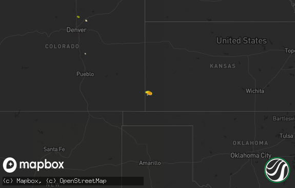
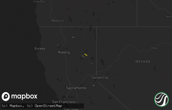
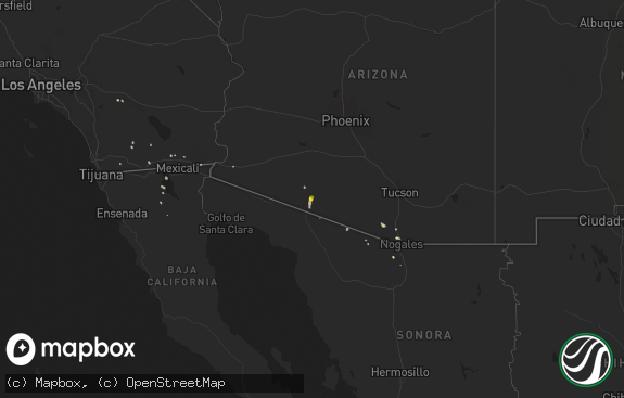
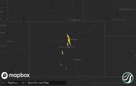
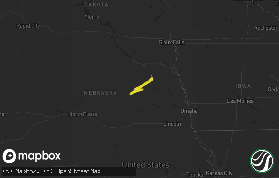
Hail Map in California on October 3, 2018
The weather event in California on October 3, 2018 includes Hail map. 9 states and 103 cities were impacted and suffered possible damage. The total estimated number of properties impacted is 373.

Hail
373
Estimated number of impacted properties by a 1.00" hail or larger0
Estimated number of impacted properties by a 1.75" hail or larger0
Estimated number of impacted properties by a 2.50" hail or largerStorm reports in California
California
| Date | Description |
|---|---|
| 10/03/20183:18 AM CDT | At 818 PM PDT, a severe thunderstorm was located 16 miles northwest of Highway 95 At Mile Marker 29, moving north at 25 mph. HAZARD...60 mph wind gusts and quarter size hail. SOURCE...Radar indicated. IMPACT...Hail damage to vehicles is expected. Expect wind damage to roofs and trees. Locations impacted include... Needles and Highway 95 And I-40. This includes Interstate 40 in California between mile markers 124and 147. |
| 10/03/20182:47 AM CDT | At 747 PM PDT, a severe thunderstorm was located 7 miles northwest of Cottonwood Visitor, or 14 miles northwest of Chiriaco Summit, moving north at 35 mph. HAZARD...60 mph wind gusts and quarter size hail. SOURCE...Radar indicated. IMPACT...Hail damage to vehicles is expected. Expect wind damage to roofs, siding, and trees. Locations impacted include... Cottonwood Visitor. |
| 10/03/20182:15 AM CDT | At 714 PM PDT, a severe thunderstorm was located near Eagle Mtn, or 13 miles northwest of Desert Center, moving north at 70 mph. HAZARD...60 mph wind gusts and quarter size hail. SOURCE...Radar indicated. IMPACT...Hail damage to vehicles is expected. Expect wind damage to roofs, siding, and trees. Locations impacted include... Eagle Mtn. |
| 10/03/20181:39 AM CDT | At 639 PM PDT, a severe thunderstorm was located 8 miles northeast of Bombay Beach, or 15 miles south of Chiriaco Summit, moving north at 55 mph. HAZARD...60 mph wind gusts and quarter size hail. SOURCE...Radar indicated. IMPACT...Hail damage to vehicles is expected. Expect wind damage to roofs, siding, and trees. Locations impacted include... Desert Center, Chiriaco Summit, Bombay Beach, Cottonwood Visitor and Imperial Hot Mineral Springs. |
| 10/03/20181:18 AM CDT | At 618 PM PDT, a severe thunderstorm was located 10 miles southeast of Bombay Beach, or 17 miles north of Brawley, moving north at 30 mph. HAZARD...60 mph wind gusts and penny size hail. SOURCE...Radar indicated. IMPACT...Expect damage to roofs, siding, and trees. Locations impacted include... Bombay Beach, Calipatria, Slab City, Niland and Imperial Hot Mineral Springs. |
| 10/03/20181:18 AM CDT | At 617 PM PDT, a severe thunderstorm was located 11 miles east of Dumont Dunes, or 25 miles north of Baker, moving northeast at 30 mph. HAZARD...60 mph wind gusts and quarter size hail. SOURCE...Radar indicated. IMPACT...Hail damage to vehicles is expected. Expect wind damage to roofs and trees. This severe thunderstorm will remain over mainly rural areas of north central San Bernardino and southeastern Inyo Counties. |
| 10/03/201812:47 AM CDT | At 546 PM PDT, a severe thunderstorm was located 11 miles south of Twentynine Palms, moving northeast at 30 mph. HAZARD...60 mph wind gusts and penny size hail. SOURCE...Radar indicated. IMPACT...Expect damage to roofs, siding, and trees. This severe thunderstorm will remain over mainly rural areas of San Bernardino and Riverside Counties. |
| 10/02/201811:50 PM CDT | Social media post reported quarter size hail at fort mohave along the colorado river. |
| 10/02/201810:20 PM CDT | At 319 PM PDT, a severe thunderstorm was located 7 miles east of Coalinga, or 34 miles west of Hanford, moving north at 20 mph. HAZARD...60 mph wind gusts and half dollar size hail. SOURCE...Radar indicated. IMPACT...Hail damage to vehicles is expected. Expect wind damage to roofs, siding, and trees. Locations impacted include... Coalinga, Huron, Harris Ranch. |
All States Impacted by Hail Map on October 3, 2018
Cities Impacted by Hail Map on October 3, 2018
- Saint Paul, MN
- Prentice, WI
- Keshena, WI
- Winterhaven, CA
- Niland, CA
- Macksville, KS
- Belpre, KS
- Irma, WI
- Baker, CA
- Yucca, AZ
- Parker Dam, CA
- Lake Tomahawk, WI
- Harshaw, WI
- Tomahawk, WI
- Kennan, WI
- Hawkins, WI
- Tripoli, WI
- Rhinelander, WI
- Catawba, WI
- Phillips, WI
- Hazelhurst, WI
- Brantwood, WI
- Glen Flora, WI
- Palisade, CO
- Thompson, UT
- Green River, UT
- Calipatria, CA
- Sylvia, KS
- St John, KS
- Wakefield, KS
- Hayward, WI
- Munising, MI
- Clifton, CO
- Needles, CA
- New Virginia, IA
- Wendover, UT
- Plevna, KS
- Raymond, KS
- Hudson, KS
- Stafford, KS
- Mount Ayr, IA
- Manhattan, KS
- Hudson, WI
- Roberts, WI
- Springbrook, WI
- Orderville, UT
- Glendale, UT
- Kingman, AZ
- Afton, MN
- Sterling, KS
- Hutchinson, KS
- Inman, KS
- Pound, WI
- Alden, KS
- Buhler, KS
- Glidden, WI
- Grantsburg, WI
- Chetek, WI
- Ellsworth, WI
- River Falls, WI
- La Porte City, IA
- Redding, IA
- Kellerton, IA
- Burrton, KS
- Longford, KS
- Clay Center, KS
- Golden Valley, AZ
- Peshtigo, WI
- Oconto, WI
- Saint Charles, IA
- Indio, CA
- Dinosaur, CO
- Chanhassen, MN
- Eden Prairie, MN
- Elmwood, WI
- Mondovi, WI
- Inver Grove Heights, MN
- Chapman, KS
- Abilene, KS
- Avenal, CA
- Abbyville, KS
- Durand, WI
- South Saint Paul, MN
- Newport, MN
- Gleason, WI
- Minneapolis, MN
- Westmorland, CA
- Zumbrota, MN
- Wanamingo, MN
- Butternut, WI
- Fort Riley, KS
- Ogden, KS
- Riley, KS
- Suring, WI
- New Hampton, IA
- Fredericksburg, IA
- Alta Vista, KS
- Eskridge, KS
- Alma, KS
- Moundridge, KS
- Mohave Valley, AZ
- Fort Mohave, AZ
- Tony, WI


