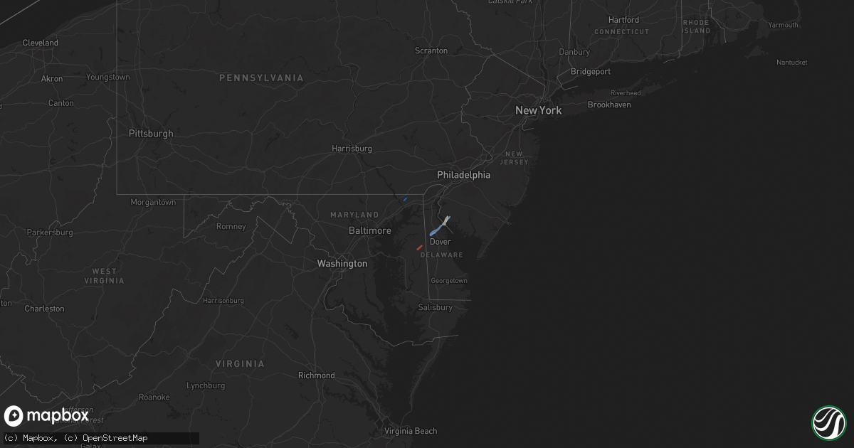
Hail Map in Delaware on November 30, 2020
Get this storm
November 30 map
$229
one time, instant access
Download today. No call, no setup
Keep the $229
Bought the map and want the full workflow? Apply the entire $229 to a subscription within 7 days. None of it is wasted.
Every map, not just this one
This buys you this map. Subscription and you get every map we run, in the markets you choose from a few cities to whole states to nationwide. Plus real-time alerts the moment a storm fires.
Contact data
Name, contact info, occupancy, even credit band for addresses in the footprint. You go from where it hit to who to call.
Become the source they trust
Unlimited branding weather history reports on demand. You already have the documented answer ready for the property owner, and you are the one who showed up with it.
Property data and RoofTrace estimates
Pull up any address you have got, its value and the exact code rules for that jurisdiction, straight from One Click Code. Then RoofTrace estimates the squares, pitch, and roof value, priced the way you price.
Storm reports in Delaware
Delaware
| Date | Description |
|---|---|
| 11/30/20202:30 PM CST | Corrects previous tstm wnd dmg report from 2 s kenton. Several trees down across the northern parts of kent county. Time estimated from radar. |
| 11/30/20202:22 PM CST | Trees down... Including one on a vehicle. |
| 11/30/20202:07 PM CST | Downed trees and wires near welsh tract road. Time estimated from radar. |
| 11/30/20202:07 PM CST | Downed trees and wires closed wedgewood road between fox lane and wallace drive. Time estimated from radar. |
| 11/30/20202:05 PM CST | Downed tree limbs at a residence in bear... Causing minor structural damage. Time confirmed by radar. |
| 11/29/20209:04 PM CST | At 303 PM EST, a severe thunderstorm was located over Hope, or near Centerville, moving northeast at 35 mph. HAZARD...60 mph wind gusts. SOURCE...Radar indicated. IMPACT...Damage to roofs, siding, trees, and power lines is possible. Locations impacted include... Dover, Middletown, Smyrna, Centreville, Camden, Clayton, Greensboro, Oakland, Ridgely, Cheswold, Church Hill, Millington, Sudlersville, Goldsboro, Hartly, Woodland Beach, Jumptown, Hazlettville, Delaney Corner and Crumpton. |


