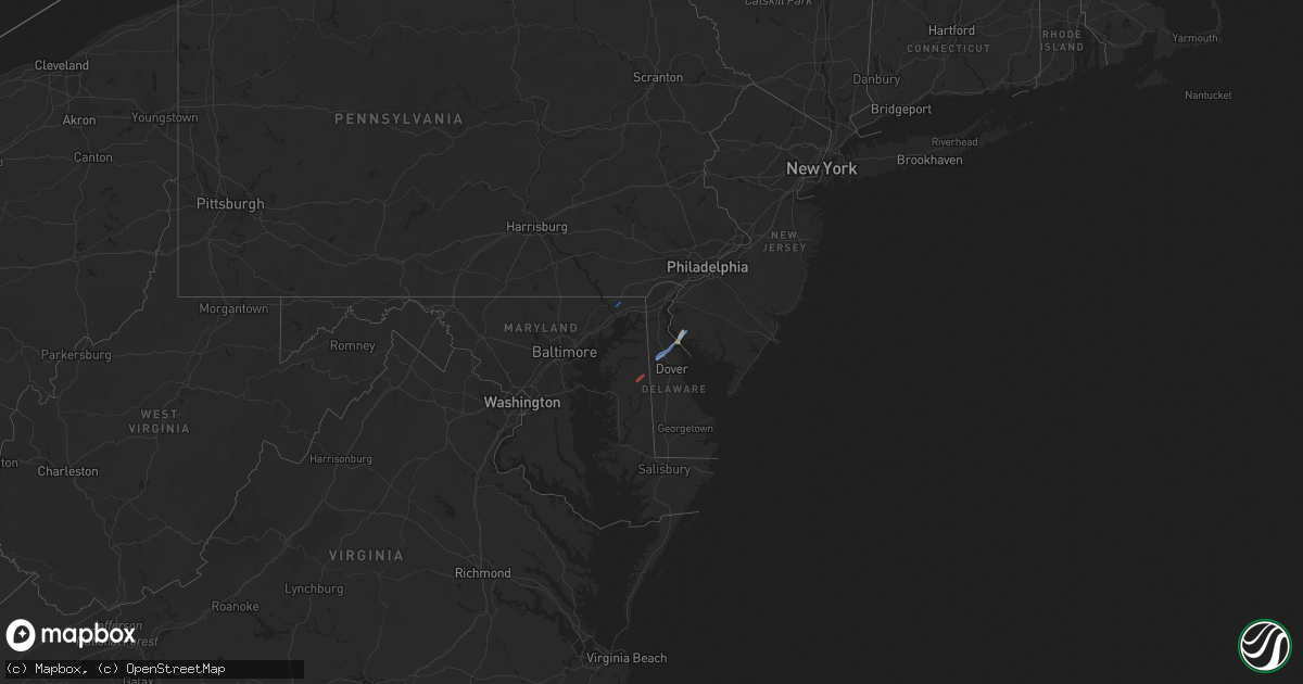
Hail Map in New Jersey on November 30, 2020
Get this storm
November 30 map
$229
one time, instant access
Download today. No call, no setup
Keep the $229
Bought the map and want the full workflow? Apply the entire $229 to a subscription within 7 days. None of it is wasted.
Every map, not just this one
This buys you this map. Subscription and you get every map we run, in the markets you choose from a few cities to whole states to nationwide. Plus real-time alerts the moment a storm fires.
Contact data
Name, contact info, occupancy, even credit band for addresses in the footprint. You go from where it hit to who to call.
Become the source they trust
Unlimited branding weather history reports on demand. You already have the documented answer ready for the property owner, and you are the one who showed up with it.
Property data and RoofTrace estimates
Pull up any address you have got, its value and the exact code rules for that jurisdiction, straight from One Click Code. Then RoofTrace estimates the squares, pitch, and roof value, priced the way you price.
Storm reports in New Jersey
New Jersey
| Date | Description |
|---|---|
| 11/30/20205:20 PM CST | Downed trees and wires near harbourton rocktown road. Time estimated from radar. |
| 11/30/20203:13 PM CST | Downed trees and wires near ludlow station road and asbury west portal road. Time estimated from radar. |
| 11/30/20203:08 PM CST | Downed trees and wires near turkey hill road and bloomsbury road. Time estimated from radar. |
| 11/30/202012:35 PM CST | Delayed report. Multiple trees and power lines down in asbury. Report via social media. Time estimated from radar. |
| 11/30/202012:30 PM CST | Corrects time of previous tstm wnd dmg report from asbury. Downed trees and wires near ludlow station road and asbury west portal road. Time estimated from radar. |
| 11/30/202012:30 PM CST | Damage to trees and wires along asbury west portal road in bethlehem township. Time estimated from radar. |
| 11/29/202011:29 PM CST | At 529 PM EST, a severe thunderstorm was located over Lawrenceville, or near Trenton, moving northeast at 50 mph. HAZARD...60 mph wind gusts. SOURCE...Radar indicated. IMPACT...Damage to roofs, siding, trees, and power lines is possible. Locations impacted include... Trenton, New Brunswick, Somerville, Somerset, Edison, East Brunswick, Bridgewater, South Brunswick, North Brunswick, Ewing, Middlesex, Princeton, Bound Brook, Manville, Pennington, Hopewell, Far Hills, Rocky Hill, Millstone and Skillman.This includes the following highways... New Jersey Turnpike between exits 10 and 11. Interstate 78 in New Jersey between mile markers 32 and 41. Interstate 295 in New Jersey between mile markers 63 and 73. Interstate 287 in New Jersey between mile markers 0 and 20, andbetween mile markers 24 and 27. Garden State Parkway between mile markers 130 and 133. |
| 11/29/202010:49 PM CST | At 448 PM EST, a severe thunderstorm was located over Newport Meadows, or 8 miles west of Bridgeton, moving northeast at 50 mph. HAZARD...60 mph wind gusts. SOURCE...Radar indicated. IMPACT...Damage to roofs, siding, trees, and power lines is possible. Locations impacted include... Camden, Vineland, Bridgeton, Gloucester City, Deptford, Glassboro, Lindenwold, Bellmawr, Woodbury, Pitman, Clayton, Berlin, Magnolia, Westville, Woodstown, Alloway, Woodbury Heights, Quinton, Brooklawn and Chesilhurst.This includes the following highways... New Jersey Turnpike near exit 3. Interstate 76 in New Jersey between mile markers 0 and 1. Interstate 295 in New Jersey between mile markers 24 and 31. Interstate 676 in New Jersey near mile marker 0. Atlantic City Expressway between mile markers 32 and 44. |


