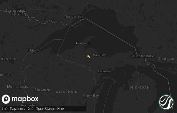
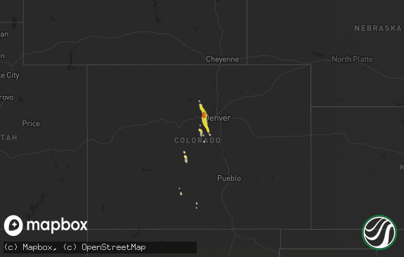
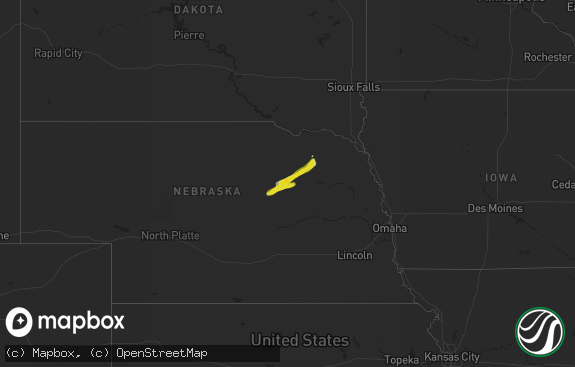
Hail Map in Michigan on September 1, 2020
The weather event in Michigan on September 1, 2020 includes Tornado, Wind, and Hail maps. 9 states and 154 cities were impacted and suffered possible damage. The total estimated number of properties impacted is 1,736.

Tornado
Wind
Hail
1,736
Estimated number of impacted properties by a 1.00" hail or larger0
Estimated number of impacted properties by a 1.75" hail or larger0
Estimated number of impacted properties by a 2.50" hail or largerStorm reports in Michigan
Michigan
| Date | Description |
|---|---|
| 09/01/20205:31 PM CDT | Numerous trees reported down in and around onsted. |
| 09/01/20201:24 AM CDT | At 624 PM EDT, a severe thunderstorm was located near Onsted, or 10 miles northeast of Hudson, moving northeast at 20 mph. HAZARD...60 mph wind gusts and quarter size hail. SOURCE...Radar indicated. IMPACT...Hail damage to vehicles is expected. Expect wind damage to roofs, siding, and trees. This severe thunderstorm will be near... Onsted around 635 PM EDT. Tecumseh and Manchester around 705 PM EDT.Other locations impacted by this severe thunderstorm includeSpringville, Cambridge Junction, Bridgewater, Manitou Beach-DevilsLake and Tipton. |
All States Impacted by Hail Map on September 1, 2020
Cities Impacted by Hail Map on September 1, 2020
- Breckenridge, TX
- Caddo, TX
- Amarillo, TX
- Merkel, TX
- Stamford, TX
- Flomot, TX
- Panhandle, TX
- Clarendon, TX
- Lakeview, TX
- Quitaque, TX
- Childress, TX
- Claude, TX
- Turkey, TX
- Wayside, TX
- Windthorst, TX
- Newcastle, TX
- Dublin, TX
- Hico, TX
- Stephenville, TX
- Benton, AR
- Sheridan, AR
- Belen, NM
- Los Lunas, NM
- Hawley, TX
- Abilene, TX
- Albany, TX
- Meade, KS
- Bryson, TX
- Graham, TX
- Rising Star, TX
- Laverne, OK
- Anson, TX
- Coleman, TX
- Happy, TX
- Canyon, TX
- Hensley, AR
- Little Rock, AR
- Murfreesboro, TN
- Lascassas, TN
- Lebanon, TN
- Smyrna, TN
- Vega, TX
- Borger, TX
- Turpin, OK
- Comanche, TX
- Carlton, TX
- Gustine, TX
- Laredo, TX
- Santa Anna, TX
- Lueders, TX
- Ranger, TX
- Bluff Dale, TX
- Skellytown, TX
- May, TX
- Blanket, TX
- Early, TX
- Talpa, TX
- Valera, TX
- Almyra, AR
- Poyen, AR
- Traskwood, AR
- Blytheville, AR
- Brownwood, TX
- Bangs, TX
- Booker, TX
- Follett, TX
- Floydada, TX
- Matador, TX
- Lockney, TX
- Perryton, TX
- Manitou Beach, MI
- Brooklyn, MI
- Addison, MI
- Onsted, MI
- Jacksboro, TX
- Lampasas, TX
- Kempner, TX
- Cisco, TX
- Eastland, TX
- Memphis, TX
- Woodson, TX
- Hardesty, OK
- Spearman, TX
- Prattsville, AR
- Bauxite, AR
- Malvern, AR
- Redfield, AR
- England, AR
- Graford, TX
- Quanah, TX
- Zephyr, TX
- Poolville, TX
- Weatherford, TX
- Centerville, TN
- Lyles, TN
- Nunnelly, TN
- Waco, TX
- Miami, TX
- Greenfield, TN
- Stuttgart, AR
- Humphrey, AR
- Copperas Cove, TX
- Fort Hood, TX
- Boyd, TX
- Rhome, TX
- Holladay, TN
- Huntingdon, TN
- Cedar Grove, TN
- Lipan, TX
- Kenton, TN
- Springtown, TX
- Dierks, AR
- Jonesboro, AR
- Nashville, AR
- Bowie, TX
- Waverly, TN
- Strawn, TX
- Finley, TN
- Tolar, TX
- Mosquero, NM
- Casa Blanca, NM
- Laguna, NM
- Carbon, TX
- Hurricane Mills, TN
- Sanger, TX
- White Deer, TX
- Cherokee, TX
- Adrian, MI
- Tipton, MI
- Clayton, MI
- Hudson, MI
- Gonvick, MN
- Martin, TN
- Gorman, TX
- Tell, TX
- De Queen, AR
- Kress, TX
- Skidmore, MO
- Primm Springs, TN
- Franklin, TN
- College Grove, TN
- Arrington, TN
- Ridgely, TN
- Union City, TN
- Tiptonville, TN
- Troy, TN
- Hornbeak, TN
- Roswell, NM
- Heber Springs, AR
- Plumerville, AR
- Greenbrier, AR
- Quitman, AR
- Stinnett, TX
- Pampa, TX


