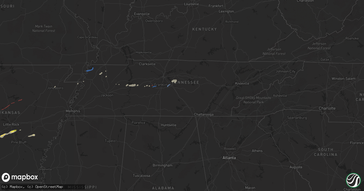
Hail Map in Tennessee on September 1, 2020
Get this storm
September 1 map
$229
one time, instant access
Download today. No call, no setup
Keep the $229
Bought the map and want the full workflow? Apply the entire $229 to a subscription within 7 days. None of it is wasted.
Every map, not just this one
This buys you this map. Subscription and you get every map we run, in the markets you choose from a few cities to whole states to nationwide. Plus real-time alerts the moment a storm fires.
Contact data
Name, contact info, occupancy, even credit band for addresses in the footprint. You go from where it hit to who to call.
Become the source they trust
Unlimited branding weather history reports on demand. You already have the documented answer ready for the property owner, and you are the one who showed up with it.
Property data and RoofTrace estimates
Pull up any address you have got, its value and the exact code rules for that jurisdiction, straight from One Click Code. Then RoofTrace estimates the squares, pitch, and roof value, priced the way you price.
Storm reports in Tennessee
Tennessee
| Date | Description |
|---|---|
| 09/01/20205:41 PM CDT | 18 inch diameter tree down across the 2 eastbound lanes of belinda pkwy |
| 09/01/20205:24 PM CDT | Tornado developed west of wynnburg and moved northeast across open farmland... Lifting before reaching highway 78 south of tiptonville. No structural damage was observe |
| 09/01/20205:12 PM CDT | Tree down at pulltight hill rd and cross keys rd |
| 09/01/20204:55 PM CDT | Tspotter report of a tree down in blossom park |
| 09/01/20204:28 PM CDT | A brief ef-0 tornado touched down in far southwestern williamson county causing mostly tree damage on green chapel road. The tornado continued east and caused minor tre |
| 09/01/20204:24 PM CDT | Report of trees and power lines down on north lick creek rd in the primm springs area. |
| 09/01/202012:59 AM CDT | At 558 PM CDT, a severe thunderstorm was located 7 miles east of Lebanon, moving northeast at 40 mph. HAZARD...60 mph wind gusts. SOURCE...Radar indicated. IMPACT...Expect damage to roofs, siding, and trees. Locations impacted include... Lebanon, Lafayette, Carthage, Hartsville, Gordonsville, South Carthage, Tuckers Crossroads, Dixon Springs, Pleasant Shade and Dickerson Chapel Recreation Area.This includes Interstate 40 between mile markers 238 and 252. |
| 09/01/202012:21 AM CDT | At 521 PM CDT, a severe thunderstorm was located over Nolensville, or 11 miles east of Franklin, moving northeast at 30 mph. HAZARD...60 mph wind gusts. SOURCE...Radar indicated. IMPACT...Expect damage to roofs, siding, and trees. Locations impacted include... Lebanon, Hendersonville, Smyrna, La Vergne, Mount Juliet, Lakewood, Hermitage, Rural Hill, Antioch, Belinda City, Old Hickory, Green Hill, Percy Priest Lake and Gladeville.This includes the following highways... Interstate 40 between mile markers 215 and 232. Interstate 24 between mile markers 55 and 68. Interstate 840 between mile markers 67 and 75. |
| 08/31/202011:57 PM CDT | At 456 PM CDT, a severe thunderstorm was located 10 miles east of Spring Hill, or 15 miles southeast of Franklin, moving northeast at 30 mph. HAZARD...60 mph wind gusts. SOURCE...Radar indicated. IMPACT...Expect damage to roofs, siding, and trees. Locations impacted include... Murfreesboro, Franklin, Smyrna, Brentwood, La Vergne, Nolensville, Eagleville, Triune and Rockvale.This includes the following highways... Interstate 24 between mile markers 68 and 79. Interstate 840 between mile markers 32 and 56. |
| 08/31/202011:22 PM CDT | At 421 PM CDT, a severe thunderstorm was located near Fairview, or 15 miles southeast of Dickson, moving northeast at 55 mph. HAZARD...60 mph wind gusts. SOURCE...Radar indicated. IMPACT...Expect damage to roofs, siding, and trees. Locations impacted include... Franklin, Brentwood, Nolensville, Forest Hills, Oak Hill, Belle Meade, Thompson's Station, Pegram, Bellevue, Fairview, Bells Bend, Natchez Trace At Highway 96 and Leipers Fork.This includes the following highways... Interstate 40 between mile markers 178 and 184, and between milemarkers 192 and 205. Interstate 65 between mile markers 61 and 77. Interstate 840 between mile markers 1 and 22. |
| 08/31/20209:49 PM CDT | At 248 PM CDT, a severe thunderstorm was located 7 miles south of New Johnsonville, or 10 miles southeast of Camden, moving east at 30 mph. HAZARD...60 mph wind gusts. SOURCE...Radar indicated. IMPACT...Expect damage to roofs, siding, and trees. Locations impacted include... Waverly, New Johnsonville, McEwen, Hurricane Mills, Bucksnort and I-40 Near The Tennessee River.This includes Interstate 40 between mile markers 136 and 158. |
All States Impacted by Hail Map on September 1, 2020
Cities Impacted by Hail Map on September 1, 2020
- Breckenridge, TX
- Caddo, TX
- Amarillo, TX
- Merkel, TX
- Stamford, TX
- Flomot, TX
- Panhandle, TX
- Clarendon, TX
- Lakeview, TX
- Quitaque, TX
- Childress, TX
- Claude, TX
- Turkey, TX
- Wayside, TX
- Windthorst, TX
- Newcastle, TX
- Dublin, TX
- Hico, TX
- Stephenville, TX
- Benton, AR
- Sheridan, AR
- Belen, NM
- Los Lunas, NM
- Hawley, TX
- Abilene, TX
- Albany, TX
- Meade, KS
- Bryson, TX
- Graham, TX
- Rising Star, TX
- Laverne, OK
- Anson, TX
- Coleman, TX
- Happy, TX
- Canyon, TX
- Hensley, AR
- Little Rock, AR
- Murfreesboro, TN
- Lascassas, TN
- Lebanon, TN
- Smyrna, TN
- Vega, TX
- Borger, TX
- Turpin, OK
- Comanche, TX
- Carlton, TX
- Gustine, TX
- Laredo, TX
- Santa Anna, TX
- Lueders, TX
- Ranger, TX
- Bluff Dale, TX
- Skellytown, TX
- May, TX
- Blanket, TX
- Early, TX
- Talpa, TX
- Valera, TX
- Almyra, AR
- Poyen, AR
- Traskwood, AR
- Blytheville, AR
- Brownwood, TX
- Bangs, TX
- Booker, TX
- Follett, TX
- Floydada, TX
- Matador, TX
- Lockney, TX
- Perryton, TX
- Manitou Beach, MI
- Brooklyn, MI
- Addison, MI
- Onsted, MI
- Jacksboro, TX
- Lampasas, TX
- Kempner, TX
- Cisco, TX
- Eastland, TX
- Memphis, TX
- Woodson, TX
- Hardesty, OK
- Spearman, TX
- Prattsville, AR
- Bauxite, AR
- Malvern, AR
- Redfield, AR
- England, AR
- Graford, TX
- Quanah, TX
- Zephyr, TX
- Poolville, TX
- Weatherford, TX
- Centerville, TN
- Lyles, TN
- Nunnelly, TN
- Waco, TX
- Miami, TX
- Greenfield, TN
- Stuttgart, AR
- Humphrey, AR
- Copperas Cove, TX
- Fort Hood, TX
- Boyd, TX
- Rhome, TX
- Holladay, TN
- Huntingdon, TN
- Cedar Grove, TN
- Lipan, TX
- Kenton, TN
- Springtown, TX
- Dierks, AR
- Jonesboro, AR
- Nashville, AR
- Bowie, TX
- Waverly, TN
- Strawn, TX
- Finley, TN
- Tolar, TX
- Mosquero, NM
- Casa Blanca, NM
- Laguna, NM
- Carbon, TX
- Hurricane Mills, TN
- Sanger, TX
- White Deer, TX
- Cherokee, TX
- Adrian, MI
- Tipton, MI
- Clayton, MI
- Hudson, MI
- Gonvick, MN
- Martin, TN
- Gorman, TX
- Tell, TX
- De Queen, AR
- Kress, TX
- Skidmore, MO
- Primm Springs, TN
- Franklin, TN
- College Grove, TN
- Arrington, TN
- Ridgely, TN
- Union City, TN
- Tiptonville, TN
- Troy, TN
- Hornbeak, TN
- Roswell, NM
- Heber Springs, AR
- Plumerville, AR
- Greenbrier, AR
- Quitman, AR
- Stinnett, TX
- Pampa, TX


