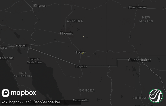
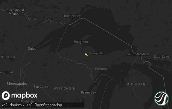
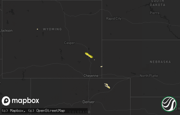
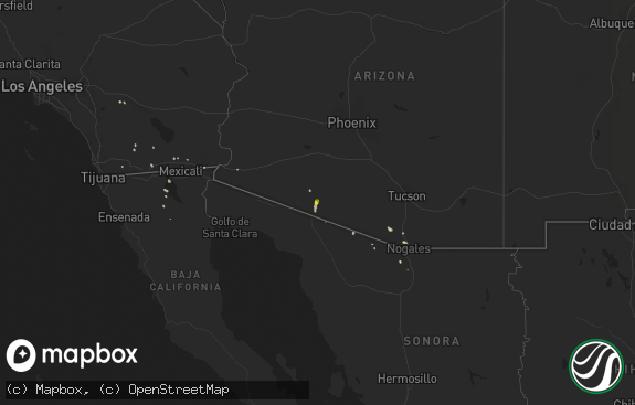
Hail Map in Wyoming on August 1, 2020
The weather event in Wyoming on August 1, 2020 includes Hail and Wind maps. 16 states and 116 cities were impacted and suffered possible damage. The total estimated number of properties impacted is 210.

Hail
Wind
210
Estimated number of impacted properties by a 1.00" hail or larger0
Estimated number of impacted properties by a 1.75" hail or larger0
Estimated number of impacted properties by a 2.50" hail or largerStorm reports in Wyoming
Wyoming
| Date | Description |
|---|---|
| 08/01/20206:12 PM CDT | A local report indicates 1.00 inch wind near 2 NE LARAMIE |
| 08/01/20204:10 PM CDT | A local report indicates 1.25 inch wind near 7 SSE HOLE IN THE WALL |
| 08/01/20201:03 AM CDT | At 601 PM MDT, a severe thunderstorm was located over Pumpkin Vine, or 19 miles south of Laramie, moving south at 25 mph. HAZARD...60 mph wind gusts and quarter size hail. SOURCE...Radar indicated. IMPACT...Expect damage to roofs, siding, and trees. Hail damage to vehicles is expected. Locations impacted include... Cherokee Park, Virginia Dale and Red Feather Lakes. |
| 08/01/202012:21 AM CDT | At 521 PM MDT, a severe thunderstorm was located near Hyattville, which is 13 miles north of Ten Sleep, moving southeast at 25 mph. HAZARD...60 mph wind gusts and quarter size hail. SOURCE...Radar indicated. IMPACT...Hail damage to vehicles is expected. Expect wind damage to roofs, siding, and trees. This severe thunderstorm will be near... Ten Sleep and Tensleep Canyon around 545 PM MDT.Other locations impacted by this severe thunderstorm include WigwamFish Rearing Station and Leigh Creek Campground. |
| 07/31/202011:28 PM CDT | At 427 PM MDT, severe thunderstorms were located along a line extending from 8 miles northwest of Homa Hills to 12 miles west of Emigrant Gap, moving south at 25 mph. HAZARD...Quarter size hail. SOURCE...Radar indicated. IMPACT...Damage to vehicles is expected. Severe thunderstorms will be near... Homa Hills around 445 PM MDT. Bar Nunn and Emigrant Gap around 455 PM MDT. Casper around 500 PM MDT. Mills, Evansville, Red Butte and Paradise Valley around 505 PM MDT. Alcova around 510 PM MDT. Beartrap Meadows County Park around 515 PM MDT.Other locations impacted by these severe thunderstorms include CasperMountain, Casper-Natrona County International Airport, Casper EventsCenter, Fort Caspar Campground, Central Wyoming Fairgrounds, BessemerBend, Alcova Dam, Casper Mountain County Park and Rotary Park.This includes Interstate 25 between mile markers 185 and 195. |
| 07/31/202011:01 PM CDT | At 400 PM MDT, a severe thunderstorm was located near Goldeneye Reservoir, which is 22 miles northwest of Casper, moving south at 30 mph. HAZARD...Half dollar size hail. SOURCE...Radar indicated. IMPACT...Damage to vehicles is expected. This severe thunderstorm will be near... Goldeneye Reservoir around 410 PM MDT. Emigrant Gap around 430 PM MDT.Other locations impacted by this severe thunderstorm include FortCaspar Campground, Central Wyoming Fairgrounds and Casper-NatronaCounty International Airport. |
| 07/31/202010:21 PM CDT | At 320 PM MDT, a severe thunderstorm was located 11 miles southeast of Red Wall, which is 28 miles south of Kaycee, moving south at 30 mph. HAZARD...Quarter size hail. SOURCE...Radar indicated. IMPACT...Damage to vehicles is expected. This severe thunderstorm will remain over mainly rural areas of north central Natrona County. |
| 07/31/20209:28 PM CDT | At 228 PM MDT, a severe thunderstorm was located 8 miles southwest of Mayoworth, which is 11 miles west of Kaycee, moving south at 30 mph. HAZARD...60 mph wind gusts and quarter size hail. SOURCE...Radar indicated. IMPACT...Hail damage to vehicles is expected. Expect wind damage to roofs, siding, and trees. This severe thunderstorm will be near... Hole In The Wall around 255 PM MDT.Other locations impacted by this severe thunderstorm include Barnum. |
All States Impacted by Hail Map on August 1, 2020
Cities Impacted by Hail Map on August 1, 2020
- Clines Corners, NM
- Ribera, NM
- Moriarty, NM
- Woodward, OK
- Tularosa, NM
- Chambersburg, PA
- Waynesboro, PA
- Greencastle, PA
- Quincy, PA
- Hoxie, KS
- Healy, KS
- Garden City, KS
- Park, KS
- Grainfield, KS
- Dighton, KS
- Gove, KS
- Cimarron, KS
- Whipple, OH
- Reno, OH
- Marietta, OH
- Williamstown, WV
- Kaycee, WY
- Casper, WY
- Hyattville, WY
- Manderson, WY
- Tie Siding, WY
- Livermore, CO
- Buford, WY
- Red Feather Lakes, CO
- Bellvue, CO
- Snyder, TX
- Fluvanna, TX
- Justiceburg, TX
- Spur, TX
- Westbrook, TX
- Sterling City, TX
- Colorado City, TX
- Ira, TX
- Big Spring, TX
- Coahoma, TX
- La Feria, TX
- Edcouch, TX
- Harlingen, TX
- La Villa, TX
- Santa Rosa, TX
- Show Low, AZ
- Forest Lakes, AZ
- Heber, AZ
- Sedona, AZ
- Mayer, AZ
- Camp Verde, AZ
- Cochise, AZ
- Patagonia, AZ
- Ten Sleep, WY
- Big Pool, MD
- Hedgesville, WV
- Clear Spring, MD
- Chase, KS
- Bushton, KS
- Ellinwood, KS
- Mercedes, TX
- Magdalena, NM
- Willcox, AZ
- Chester, OK
- Rexford, KS
- Colby, KS
- Hereford, AZ
- Oakley, KS
- Custer, SD
- Benson, AZ
- Sylvia, KS
- Claflin, KS
- Kersey, CO
- Payson, AZ
- Columbia, NC
- Pima, AZ
- Clifton, AZ
- Sistersville, WV
- Pine, AZ
- Laramie, WY
- Plevna, KS
- Elgin, AZ
- Sierra Vista, AZ
- Mercersburg, PA
- Spencer, WV
- Spivey, KS
- Edinburg, TX
- Peridot, AZ
- Harman, WV
- Holly Springs, NC
- Fuquay Varina, NC
- Sanford, NC
- New Hill, NC
- Berkeley Springs, WV
- Morenci, AZ
- Concho, AZ
- Rio Rico, AZ
- Waynoka, OK
- Fort Supply, OK
- Rodeo, NM
- Smithfield, NC
- Princeton, NC
- Safford, AZ
- Rio Grande City, TX
- Saint David, AZ
- Corpus Christi, TX
- Emerson, IA
- Wendell, NC
- Como, NC
- Randolph, VA
- Clatonia, NE
- Ingalls, KS
- Springerville, AZ
- Elfrida, AZ
- Raymondville, TX
- Elsa, TX


