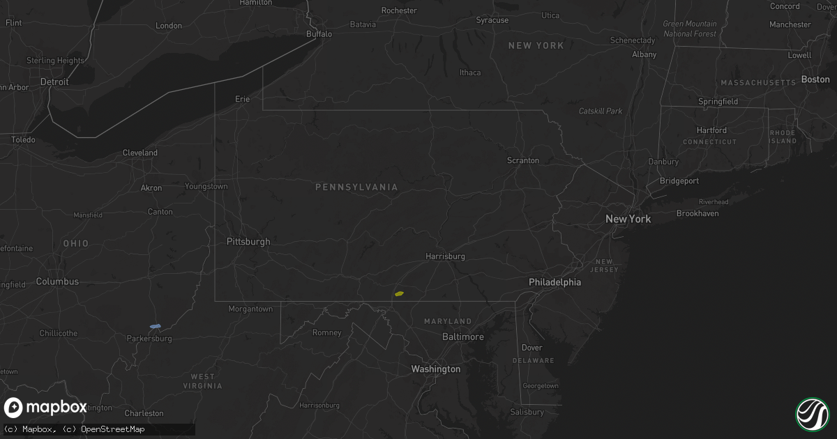
Hail Map in Pennsylvania on August 1, 2020
Get this storm
August 1 map
$229
one time, instant access
Download today. No call, no setup
Keep the $229
Bought the map and want the full workflow? Apply the entire $229 to a subscription within 7 days. None of it is wasted.
Every map, not just this one
This buys you this map. Subscription and you get every map we run, in the markets you choose from a few cities to whole states to nationwide. Plus real-time alerts the moment a storm fires.
Contact data
Name, contact info, occupancy, even credit band for addresses in the footprint. You go from where it hit to who to call.
Become the source they trust
Unlimited branding weather history reports on demand. You already have the documented answer ready for the property owner, and you are the one who showed up with it.
Property data and RoofTrace estimates
Pull up any address you have got, its value and the exact code rules for that jurisdiction, straight from One Click Code. Then RoofTrace estimates the squares, pitch, and roof value, priced the way you price.
Storm reports in Pennsylvania
Pennsylvania
| Date | Description |
|---|---|
| 08/01/20206:59 AM CDT | Downed trees and wires near melchor drive. Time estimated from radar. |
| 08/01/20206:57 AM CDT | Downed power lines near haupts bridge road in durham twp. Time estimated from radar. |
| 08/01/20206:25 AM CDT | Several reports of tree limbs and wires down south of allentown. Time estimated from radar. |
| 08/01/20206:21 AM CDT | Downed trees and wires near chestnut hill road in emmaus. Time estimated from radar. |
| 08/01/20206:08 AM CDT | Downed trees and wires near aster road. Time estimated from radar. |
| 08/01/20205:59 AM CDT | At 1059 PM EDT, a severe thunderstorm was located over Waynesboro, moving east at 20 mph. HAZARD...60 mph wind gusts and quarter size hail. SOURCE...Radar indicated. IMPACT...Hail damage to vehicles is possible. Expect wind damage to trees, roofs, and siding. Locations impacted include... Waynesboro, Greencastle, Wayne Heights, Mont Alto, Rouzerville, Quincy and Penn State Mont Alto.This includes Interstate 81 from mile markers 5 to 7. |
| 08/01/20205:50 AM CDT | Downed trees and wires near hinterleiter road. Time estimated from radar. |
| 08/01/20205:48 AM CDT | Downed trees and wires near smoketown road in lyons. Time estimated from radar. |
| 08/01/20205:45 AM CDT | Downed trees and wires near baldy road. Time estimated from radar. |
| 08/01/20205:41 AM CDT | Downed trees and wires near fleetwood road between fleetwood and lyons. Time estimated from radar. |
| 08/01/20205:31 AM CDT | Tree limbs and wires down near angora road in mount penn. Time estimated from radar. |
| 07/31/202010:13 PM CDT | A local report indicates 1.00 inch wind near 3 S MONT ALTO |
| 07/31/202010:08 PM CDT | Tree down on road reported at furnace rd and tomstown rd. |
| 07/31/202010:07 PM CDT | Quarter size hail reported at 8120 tomstown road waynesboro pa 17268. |
All States Impacted by Hail Map on August 1, 2020
Cities Impacted by Hail Map on August 1, 2020
- Clines Corners, NM
- Ribera, NM
- Moriarty, NM
- Woodward, OK
- Tularosa, NM
- Chambersburg, PA
- Waynesboro, PA
- Greencastle, PA
- Quincy, PA
- Hoxie, KS
- Healy, KS
- Garden City, KS
- Park, KS
- Grainfield, KS
- Dighton, KS
- Gove, KS
- Cimarron, KS
- Whipple, OH
- Reno, OH
- Marietta, OH
- Williamstown, WV
- Kaycee, WY
- Casper, WY
- Hyattville, WY
- Manderson, WY
- Tie Siding, WY
- Livermore, CO
- Buford, WY
- Red Feather Lakes, CO
- Bellvue, CO
- Snyder, TX
- Fluvanna, TX
- Justiceburg, TX
- Spur, TX
- Westbrook, TX
- Sterling City, TX
- Colorado City, TX
- Ira, TX
- Big Spring, TX
- Coahoma, TX
- La Feria, TX
- Edcouch, TX
- Harlingen, TX
- La Villa, TX
- Santa Rosa, TX
- Show Low, AZ
- Forest Lakes, AZ
- Heber, AZ
- Sedona, AZ
- Mayer, AZ
- Camp Verde, AZ
- Cochise, AZ
- Patagonia, AZ
- Ten Sleep, WY
- Big Pool, MD
- Hedgesville, WV
- Clear Spring, MD
- Chase, KS
- Bushton, KS
- Ellinwood, KS
- Mercedes, TX
- Magdalena, NM
- Willcox, AZ
- Chester, OK
- Rexford, KS
- Colby, KS
- Hereford, AZ
- Oakley, KS
- Custer, SD
- Benson, AZ
- Sylvia, KS
- Claflin, KS
- Kersey, CO
- Payson, AZ
- Columbia, NC
- Pima, AZ
- Clifton, AZ
- Sistersville, WV
- Pine, AZ
- Laramie, WY
- Plevna, KS
- Elgin, AZ
- Sierra Vista, AZ
- Mercersburg, PA
- Spencer, WV
- Spivey, KS
- Edinburg, TX
- Peridot, AZ
- Harman, WV
- Holly Springs, NC
- Fuquay Varina, NC
- Sanford, NC
- New Hill, NC
- Berkeley Springs, WV
- Morenci, AZ
- Concho, AZ
- Rio Rico, AZ
- Waynoka, OK
- Fort Supply, OK
- Rodeo, NM
- Smithfield, NC
- Princeton, NC
- Safford, AZ
- Rio Grande City, TX
- Saint David, AZ
- Corpus Christi, TX
- Emerson, IA
- Wendell, NC
- Como, NC
- Randolph, VA
- Clatonia, NE
- Ingalls, KS
- Springerville, AZ
- Elfrida, AZ
- Raymondville, TX
- Elsa, TX


