Hail Map in Vermont on June 18, 2026
Get this storm
June 18 map
$229
one time, instant access
Download today. No call, no setup
Keep the $229
Bought the map and want the full workflow? Apply the entire $229 to a subscription within 7 days. None of it is wasted.
Every map, not just this one
This buys you this map. Subscription and you get every map we run, in the markets you choose from a few cities to whole states to nationwide. Plus real-time alerts the moment a storm fires.
Contact data
Name, contact info, occupancy, even credit band for addresses in the footprint. You go from where it hit to who to call.
Become the source they trust
Unlimited branding weather history reports on demand. You already have the documented answer ready for the property owner, and you are the one who showed up with it.
Property data and RoofTrace estimates
Pull up any address you have got, its value and the exact code rules for that jurisdiction, straight from One Click Code. Then RoofTrace estimates the squares, pitch, and roof value, priced the way you price.
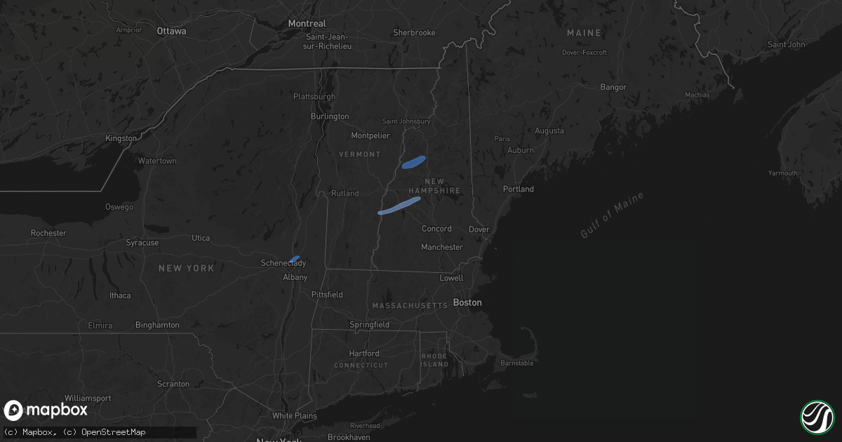
Storm reports in Vermont
Vermont
| Date | Description |
|---|---|
| 06/18/20262:25 PM CDT | Tree down on wires on old ledge road in the town of westminster. |
| 06/18/20262:23 PM CDT | Tree and wires down on dorsch hill in westminster. |
| 06/18/20262:18 PM CDT | Multiple trees and power lines down throughout the town of dummerston. |
| 06/18/20262:00 PM CDT | Hartford fire dept reported downed powerlines near brookside drive as well as a significant area of uprooted/broken trees. One tree fell into a garage on christian stre |
| 06/18/20261:53 PM CDT | Trees and utility lines down on us route 7 at barbers pond road in pownal. |
| 06/18/20261:51 PM CDT | Video showing numerous trees uprooted with extensive damage to a wooden fence. |
| 06/18/20261:51 PM CDT | Emergency services responding to multiple downed trees and wires throughout the community. Time estimated from radar. |
| 06/18/20261:40 PM CDT | Tree and power lines down on route 313 at route 7a in arlington. |
| 06/18/20261:38 PM CDT | Downed/snapped trees and structural damage of barn/shed in bridgewater/woodstock reported via social media. Time estimated from radar. |
| 06/18/20261:35 PM CDT | An nws storm survey found ef-1 tornado damage in the western part of the town of woodstock. The maximum estimated winds were 100 mph and the estimated track length was |
| 06/18/20261:34 PM CDT | Large tree down at private residence with tree impacting porch in the town of manchester. |
| 06/18/20261:28 PM CDT | Numerous powerlines blown down. |
| 06/18/20261:22 PM CDT | Downed power lines. Time estimated from radar. |
| 06/18/20261:20 PM CDT | Reports of at least one tree down which knocked down powerlines. |
| 06/18/20261:12 PM CDT | Large tree snapped. Several other trees also sustained damage. |
| 06/18/20261:10 PM CDT | Tree down in power lines on chandler road in northfield. Time estimated by radar. |
| 06/18/20261:08 PM CDT | Trees and powerlines down. |
| 06/18/20261:00 PM CDT | Trees and powerlines down. |
| 06/18/202612:35 PM CDT | Tree down on munger street. |
| 06/18/202612:31 PM CDT | An nws storm survey found ef-1 tornado damage in the woods near york hill road in the town of lincoln. Maximum estimated winds were 105 mph and the estimated track leng |
All States Impacted by Hail Map on June 18, 2026
Cities Impacted by Hail Map on June 18, 2026
- Slidell, LA
- Medford, OK
- Piqua, KS
- Iola, KS
- Maple City, KS
- Wichita, KS
- Piedmont, KS
- Oxford, KS
- Shidler, OK
- Lamont, OK
- Deer Creek, OK
- Yates Center, KS
- Neosho Falls, KS
- Winfield, KS
- Tonkawa, OK
- Nash, OK
- Arkansas City, KS
- Pass Christian, MS
- Saucier, MS
- Wiggins, MS
- Pond Creek, OK
- Derby, KS
- Douglass, KS
- Mulvane, KS
- Ponca City, OK
- Marland, OK
- Dexter, KS
- Rock, KS
- Hunter, OK
- Rose Hill, KS
- Burden, KS
- Atlanta, KS
- Pawhuska, OK
- Bluff City, KS
- Belle Plaine, KS
- Wellington, KS
- Augusta, KS
- Caldwell, KS
- Haysville, KS
- Peck, KS
- Billings, OK
- Wakita, OK
- Amorita, OK
- Udall, KS
- Red Rock, OK
- Kingman, KS
- Cherokee, OK
- Spivey, KS
- Burlington, OK
- Copan, OK
- Manchester, OK
- Vinita, OK
- Delaware, OK
- Anthony, KS
- Lenapah, OK
- Wann, OK
- Nardin, OK
- S Coffeyville, OK
- Cambridge, KS
- Leon, KS
- Harper, KS
- Argonia, KS
- Jet, OK
- Conway Springs, KS
- Norwich, KS
- Cedar Vale, KS
- Mayfield, KS
- Blackwell, OK
- Milton, KS
- Milan, KS
- Clifton Park, NY
- Rexford, NY
- Mechanicville, NY
- Waterford, NY
- Sawyer, KS
- Isabel, KS
- Medicine Lodge, KS
- Dryden, VA
- Zenda, KS
- Nashville, KS
- Attica, KS
- Sharon, KS
- Ludowici, GA
- Glennville, GA
- Ocala, FL
- Waldron, KS
- Silver Springs, FL
- Danville, KS
- Springfield, VT
- Claremont, NH
- Windsor, VT
- Ascutney, VT
- Newport, NH
- South Haven, KS
- Burbank, OK
- Jeffersonville, GA
- Eatonton, GA
- Kaw City, OK
- Geuda Springs, KS
- Columbia, SC
- Ridgeland, SC
- Greensboro, GA
- Hardeeville, SC
- Sedan, KS
- Purlear, NC
- West Jefferson, NC
- Traphill, NC
- Millers Creek, NC
- McGrady, NC
- Hays, NC
- North Wilkesboro, NC
- Bartlesville, OK
- Grantham, NH
- Sunapee, NH
- New London, NH
- Springfield, NH
- Wilmot, NH
- Danbury, NH
- Grafton, NH
- Hill, NH
- Orford, NH
- Piermont, NH
- Wentworth, NH
- Warren, NH
- North Woodstock, NH
- Sumter, SC
- Viola, KS
- Pierson, FL
- Denmark, ME
- Bridgton, ME
- Bishopville, SC
- Clearwater, KS
- Pinnacle, NC
- Tobaccoville, NC
- Stapleton, GA
- Wrens, GA
- Blythe, GA
- Hephzibah, GA
- Matthews, GA
- Augusta, GA
- Smoaks, SC
- Daytona Beach, FL
- Van Buren, AR
- Fort Smith, AR
- McLain, MS
- Murdock, KS
- King, NC
- Johnson City, TN
- Cheney, KS
- Wallace, SC
- Bennettsville, SC
- Mount Airy, NC
- Ararat, NC
- Watauga, TN
- Piney Flats, TN
- Rockingham, NC
- Hamlet, NC
- Statesboro, GA
- Charleston, AR
- Santa Fe, NM
- Musella, GA
- Macon, GA
- Fort Bragg, NC
- Pope Army Airfield, NC
- Spring Lake, NC
- Bay Minette, AL
- Daphne, AL
- Mountainair, NM
- Ozona, TX
- Milledgeville, GA
- Forsyth, GA
- Juliette, GA
- Wingate, TX
- Tuscola, TX
- Newell, SD
- Faith, SD
- Union Center, SD
- Mud Butte, SD
- Nolan, TX
- Tahoe City, CA
- Blackwell, TX
- Gilford, NH
- Paron, AR
- Bronte, TX
- Dupree, SD
- Braman, OK
- Newkirk, OK
- Norton, TX
- Vernon, FL
- Ballinger, TX
- Miles, TX
- Soda Springs, CA
- Winters, TX
- Freeport, KS
- Beckwourth, CA
- Talpa, TX
- Coleman, TX
- Novice, TX
- Millry, AL
- Chelsea, OK
- Nowata, OK
- Seminary, MS
- Sumrall, MS
- Olney, TX
- Throckmorton, TX
- El Paso, TX
- Duke, OK
- Newcastle, TX
- Cordell, OK
- Silverton, TX
- De Leon, TX
- Sentinel, OK
- Gorman, TX
- Graham, TX
- Vernon, TX
- Dill City, OK
- Ranger, TX
- Desdemona, TX
- Gould, OK
- Tulia, TX
- Kress, TX
- Bryson, TX
- Hollis, OK
- Eldorado, OK
- Mountain Park, OK
- Graford, TX
- Strawn, TX
- Indiahoma, OK
- Childress, TX
- Tipton, OK
- Jacksboro, TX
- Snyder, OK
- Lawton, OK
- Faxon, OK
- Cache, OK
- Matador, TX
- Breckenridge, TX
- Walters, OK
- Dryden, TX
- Gordon, TX
- Palo Pinto, TX
- Dodson, TX
- Lone Wolf, OK
- Paducah, TX
- Mineral Wells, TX
- Chillicothe, TX
- Frederick, OK
- Roosevelt, OK
- Hobart, OK
- Santo, TX
- Crowell, TX
- Headrick, OK
- Chattanooga, OK
- Geronimo, OK
- Stephenville, TX
- Comstock, TX
- Weatherford, TX
- Millsap, TX
- Quanah, TX
- Loveland, OK
- Wichita Falls, TX
- Waurika, OK
- Sheppard Afb, TX
- Hollister, OK
- Bowie, TX
- Comanche, OK
- Odessa, TX
- Bellevue, TX
- Leesburg, GA
- Devol, OK
- Duncan, OK
- Grandfield, OK
- Perrin, TX
- Randlett, OK
- Temple, OK
- Bluff Dale, TX
- Carbon, TX
- Alvord, TX
- Tolar, TX
- Chico, TX
- Sunset, TX
- Decatur, TX
- Eastland, TX
- Fort Sill, OK
- Iowa Park, TX
- Krum, TX
- Sanger, TX
- Burkburnett, TX
- Rhome, TX
- Saint Jo, TX
- Montague, TX
- Justin, TX
- Era, TX
- Gainesville, TX
- Muenster, TX
- Poolville, TX
- Whitt, TX
- Forestburg, TX
- Rosston, TX
- Ponder, TX
- Bridgeport, TX
- Denton, TX
- Paradise, TX
- Davidson, OK
- Valley View, TX
- Lindsay, TX
- Aubrey, TX
- Harrold, TX
- Electra, TX
- Oklaunion, TX
- Lewisville, TX
- Little Elm, TX
- Pilot Point, TX
- Collinsville, TX
- Tioga, TX
- Broxton, GA
- Alma, GA
- Baxley, GA
- Douglas, GA
- Hazlehurst, GA
- Denton, GA
- Nicholls, GA
- West Green, GA
- Del Rio, TX
- Frisco, TX
- The Colony, TX
- Brownwood, TX
- Rising Star, TX
- Gunter, TX
- Sonora, TX
- Dallas, TX
- Van Alstyne, TX
- Howe, TX
- Mckinney, TX
- Celina, TX
- Fort Cobb, OK
- Westwego, LA
- Pearlington, MS
- Bay Saint Louis, MS
- New Orleans, LA
- Caddo, TX
- Woodstock, VT
- Vancleave, MS
- Gulfport, MS
- Biloxi, MS
- Diberville, MS
- Long Beach, MS
- Perkinston, MS
- McHenry, MS
- Lucedale, MS
- Poplarville, MS
- Picayune, MS
- Carriere, MS
- Ocean Springs, MS
- Waveland, MS
- Gautier, MS
- Cortland, NY
- Rock Stream, NY
- Burdett, NY
- Kiln, MS


