Hail Map in Illinois on May 25, 2022
Get this storm
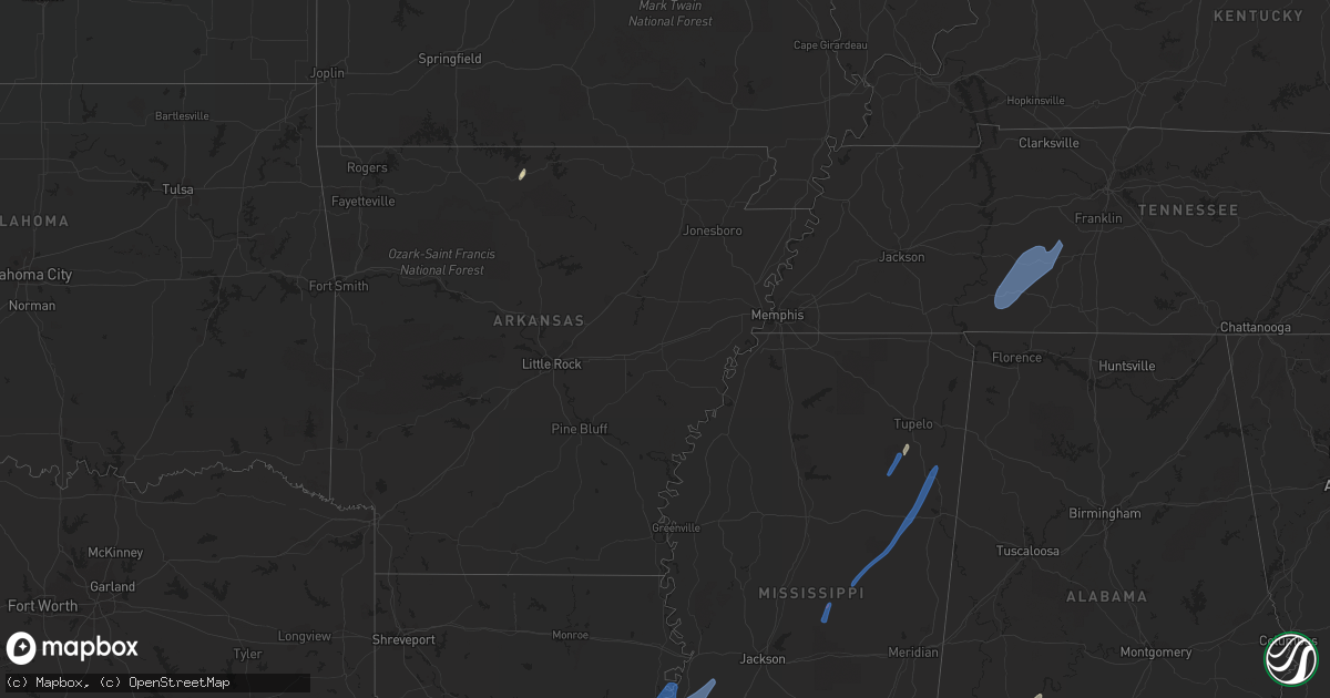
May 25 map
$229
one time, instant access
Download today. No call, no setup
Keep the $229
Bought the map and want the full workflow? Apply the entire $229 to a subscription within 7 days. None of it is wasted.
Every map, not just this one
This buys you this map. Subscription and you get every map we run, in the markets you choose from a few cities to whole states to nationwide. Plus real-time alerts the moment a storm fires.
Contact data
Name, contact info, occupancy, even credit band for addresses in the footprint. You go from where it hit to who to call.
Become the source they trust
Unlimited branding weather history reports on demand. You already have the documented answer ready for the property owner, and you are the one who showed up with it.
Property data and RoofTrace estimates
Pull up any address you have got, its value and the exact code rules for that jurisdiction, straight from One Click Code. Then RoofTrace estimates the squares, pitch, and roof value, priced the way you price.
Storm reports in Illinois
Illinois
| Date | Description |
|---|---|
| 05/25/20226:10 PM CDT | Large tree blown over. Time estimated based on radar. |
| 05/25/20226:09 PM CDT | 12 inch maple tree top snapped off tree. |
| 05/25/20226:00 PM CDT | In-10/il-114 blocked at state line road due to a downed tree. Time estimated by radar. |
| 05/25/20224:58 PM CDT | 8 inch wide tree limb down near lorena ave. |
| 05/25/20224:26 PM CDT | Large tree snapped near base. Tree was slightly rotted but had full canopy of leaves. Time estimated from radar. |
| 05/25/20223:15 PM CDT | Reports of damage to a farm from broadcast media and emergency management. Snapped trees and damage to outbuildings. Tornado possible. |
| 05/25/20223:06 PM CDT | A brief tornado caused damage at a farmstead just southeast of the albertus airport. The tornado caused significant damage to an outbuilding... Destroyed a grain bin... |
| 05/25/20223:22 AM CDT | At 822 PM CDT, a severe thunderstorm was located near Mount Pulaski, or 13 miles south of Lincoln, moving north at 45 mph. HAZARD...60 mph wind gusts. SOURCE...Radar indicated. IMPACT...Expect damage to roofs, siding, and trees. This severe thunderstorm will be near... Mount Pulaski around 825 PM CDT. Chestnut around 830 PM CDT. Lincoln and Beason around 835 PM CDT.Other locations in the path of this severe thunderstorm includeAtlanta.This includes the following highways... Interstate 155 between mile markers 0 and 10. Interstate 55 between mile markers 116 and 141. |
| 05/25/20221:57 AM CDT | At 657 PM CDT, severe thunderstorms were located along a line extending from near Webster to near Adair, moving north at 40 mph. HAZARD...60 mph wind gusts. SOURCE...Radar indicated. IMPACT...Expect damage to roofs, siding, and trees. Severe thunderstorms will be near... Blandinsville, Bardolph and New Philadelphia around 710 PM CDT. Bushnell, La Harpe, Disco and Scottsburg around 715 PM CDT.Other locations in the path of these severe thunderstorms includeWalnut Grove, Prairie City Airport and Prairie City. |
| 05/25/20221:32 AM CDT | At 631 PM CDT, severe thunderstorms were located along a line extending from Bowen to Rushville, moving north at 45 mph. HAZARD...60 mph wind gusts. SOURCE...Radar indicated. IMPACT...Expect damage to roofs, siding, and trees. Severe thunderstorms will be near... Augusta, Bowen, West Point and Denver around 635 PM CDT. Basco and Bentley around 640 PM CDT. Carthage and Doddsville around 645 PM CDT. Industry, Ferris and Webster around 650 PM CDT.Other locations in the path of these severe thunderstorms includeBurnside, Adrian, Fountain Green, Pennington Point, La Harpe, Adair,McDonough County 4-H Grounds, Macomb, Dallas City, Bardolph, Disco,Western Illinois University, New Philadelphia, Macomb MunicipalAirport, Spring Lake, Bushnell, Good Hope and Scottsburg. |
| 05/25/20221:12 AM CDT | At 612 PM CDT, a severe thunderstorm was located over Buckhorn, moving north at 45 mph. HAZARD...60 mph wind gusts. SOURCE...Radar indicated. IMPACT...Expect damage to roofs, siding, and trees. This severe thunderstorm will be near... Mount Sterling around 620 PM CDT. |
| 05/24/20228:30 PM CDT | Numerous 3-6 inch branches down. |
| 05/24/20227:45 PM CDT | Tree reported down. Relayed via county dispatch. Time estimated from radar. |
| 05/24/20227:20 PM CDT | Tree limbs down. Relayed via broadcast media. |
All States Impacted by Hail Map on May 25, 2022
Cities Impacted by Hail Map on May 25, 2022
- Burlington, KY
- Union, KY
- Dickinson, AL
- Alice, TX
- Flippin, AR
- Lower Peach Tree, AL
- Coy, AL
- Whatley, AL
- Pine Hill, AL
- Jackson, AL
- Grove Hill, AL
- Rushville, IN
- Concepcion, TX
- Milroy, IN
- Yellville, AR
- Okolona, MS
- Shannon, MS
- Mandeville, LA
- Lacombe, LA
- Elberta, AL
- Lillian, AL
- Madison, MO
- Michigantown, IN
- Walton, IN
- Twelve Mile, IN
- Thorntown, IN
- Kewanna, IN
- Bringhurst, IN
- Frankfort, IN
- Kokomo, IN
- Cutler, IN
- Young America, IN
- Burlington, IN
- Lucerne, IN
- Flora, IN
- Camden, IN
- Galveston, IN
- Russiaville, IN
- Kirklin, IN
- Lebanon, IN
- Logansport, IN
- Rochester, IN
- Donovan, IL
- Sheldon, IL
- Kentland, IN
- Thomasville, AL
- Vredenburgh, AL
- Beloit, WI
- Walterboro, SC
- Carthage, MS
- Baileyville, IL
- Waterproof, LA
- Saint Joseph, LA
- Woodville, MS
- Ferriday, LA
- Jonesville, LA
- Monterey, LA
- Port Gibson, MS
- Vidalia, LA
- Natchez, MS
- Newellton, LA
- Lorman, MS
- Fayette, MS
- Hermanville, MS
- Utica, MS
- Pattison, MS
- Roxie, MS
- Wesson, MS
- Crystal Springs, MS
- Hazlehurst, MS
- Lena, MS
- Philadelphia, MS
- West Point, MS
- Noxapater, MS
- Aberdeen, MS
- McCool, MS
- Amory, MS
- Starkville, MS
- Sturgis, MS
- Louisville, MS
- Houston, MS
- Hohenwald, TN
- Mount Pleasant, TN
- Williamsport, TN
- Collinwood, TN
- Waynesboro, TN
- Hampshire, TN
- Centerville, TN
- Duck River, TN
- Linden, TN
- Summertown, TN
- Lawrenceburg, TN
- Mount Auburn, IL
- Illiopolis, IL
- Mount Pulaski, IL
- Edinburg, IL
- Buffalo, IL
- Lincoln, IL
- Stonington, IL
- Blue Mound, IL
- Taylorville, IL
- Wilmington, OH
- Xenia, OH
- Jamestown, OH


