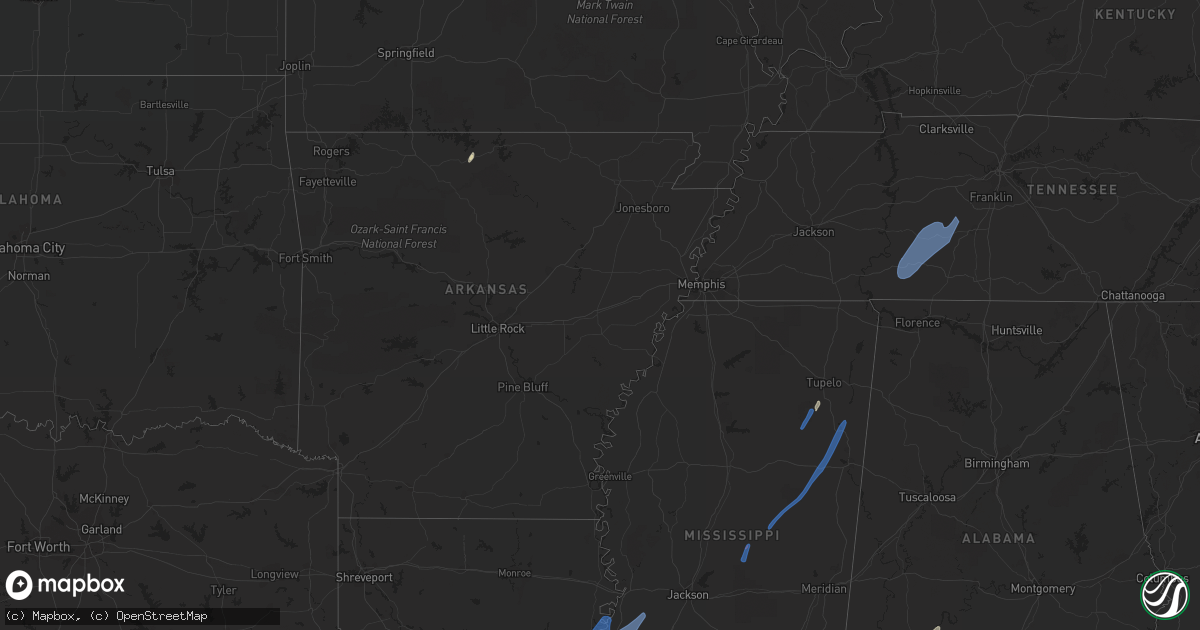
Hail Map in Alabama on May 25, 2022
Get this storm
May 25 map
$229
one time, instant access
Download today. No call, no setup
Keep the $229
Bought the map and want the full workflow? Apply the entire $229 to a subscription within 7 days. None of it is wasted.
Every map, not just this one
This buys you this map. Subscription and you get every map we run, in the markets you choose from a few cities to whole states to nationwide. Plus real-time alerts the moment a storm fires.
Contact data
Name, contact info, occupancy, even credit band for addresses in the footprint. You go from where it hit to who to call.
Become the source they trust
Unlimited branding weather history reports on demand. You already have the documented answer ready for the property owner, and you are the one who showed up with it.
Property data and RoofTrace estimates
Pull up any address you have got, its value and the exact code rules for that jurisdiction, straight from One Click Code. Then RoofTrace estimates the squares, pitch, and roof value, priced the way you price.
Storm reports in Alabama
Alabama
| Date | Description |
|---|---|
| 05/25/20224:32 PM CDT | Trees & power lines reported down across the road. |
| 05/25/20224:29 PM CDT | Multiple trees reported down across the road. Large tree also fell onto vehicle. |
| 05/25/20224:29 PM CDT | Tree reported down on home. |
| 05/25/20224:18 PM CDT | Tree reported down near waterloo boat ramp on county road 14 east of main street. Tree also reported blown down on power lines in the same general area. |
| 05/25/20224:18 PM CDT | Tree reported down on county road 106 near central heights. |
| 05/25/20224:18 PM CDT | Tree reported down along riverton rose trail. |
| 05/25/20224:12 PM CDT | Tree reported down in brush creek park. Fire department was called to assist occupants from a vehicle blocked by a fallen tree. |
| 05/25/20224:12 PM CDT | Tree reported down near greater fellowship missionary baptist church. |
| 05/25/20224:06 PM CDT | Tree reported down along ligon springs road. |
| 05/25/202210:34 AM CDT | Minor roof damage to chicken houses along with minor damage to an adjacent small home. A tree nearby was also partially snapped. |
| 05/25/20222:07 AM CDT | At 706 PM CDT, a severe thunderstorm was located near Orrville, or 15 miles southwest of Selmont-West Selmont, moving northeast at 15 mph. HAZARD...60 mph wind gusts and nickel size hail. SOURCE...Radar indicated. IMPACT...Expect damage to roofs, siding, and trees. Locations impacted include... Orrville and Hazen. |
| 05/25/20221:46 AM CDT | At 645 PM CDT, severe thunderstorms were located along a line extending from near Shawnee to 8 miles east of Fulton, moving north at 30 mph. HAZARD...60 mph wind gusts and penny size hail. SOURCE...Radar indicated. IMPACT...Expect damage to roofs, siding, and trees. Locations impacted include... Thomasville, Camden, Pine Hill and Yellow Bluff. |
| 05/25/20221:03 AM CDT | At 602 PM CDT, a severe thunderstorm was located 4 miles south of Whatley, or 9 miles south of Grove Hill, moving northeast at 20 mph. HAZARD...60 mph wind gusts and penny size hail. SOURCE...Radar indicated. IMPACT...Expect damage to roofs, siding, and trees. Locations impacted include... Whatley and Fulton. |
| 05/25/202212:26 AM CDT | At 526 PM CDT, a severe thunderstorm was located 7 miles southwest of Yellow Bluff, or 12 miles east of Thomasville, moving northeast at 25 mph. HAZARD...60 mph wind gusts and penny size hail. SOURCE...Radar indicated. IMPACT...Expect damage to roofs, siding, and trees. Locations impacted include... Yellow Bluff. |
| 05/25/202212:11 AM CDT | At 511 PM CDT, severe thunderstorms were located along a line extending from near Hohenwald to near Lawrenceburg to 9 miles northeast of Lexington, moving northeast at 50 mph. HAZARD...60 mph wind gusts. SOURCE...Radar indicated. IMPACT...Expect damage to roofs, siding, and trees. Locations impacted include... Columbia, Lewisburg, Lawrenceburg, Pulaski, Hohenwald, Mount Pleasant, Summertown, Cornersville, Elkton, Minor Hill, Ethridge, Lynnville, Gordonsburg, Henryville, Culleoka, Santa Fe, Goodspring, Frankewing, Hampshire and Williamsport.This includes Interstate 65 between mile markers 7 and 45. |
| 05/24/202210:35 PM CDT | At 335 PM CDT, a severe thunderstorm was located near Tishomingo State Park, moving northeast at 60 mph. HAZARD...60 mph wind gusts. SOURCE...Radar indicated. IMPACT...Expect damage to roofs, siding, and trees. Locations impacted include... Iuka, Tishomingo State Park, Belmont, Tishomingo, Midway, Golden, Paden, Oldham, Dennis, Blythe Crossing, Bloody Springs, Carter Branch, Mingo, Petertown and Neil. |
| 05/24/202210:03 PM CDT | At 303 PM CDT, severe thunderstorms were located along a line extending from near Tombigbee State Park to near Evergreen to near Smithville, moving northeast at 60 mph. HAZARD...60 mph wind gusts. SOURCE...Radar indicated. IMPACT...Expect damage to roofs, siding, and trees. Locations impacted include... Tupelo, Fulton, Red Bay, Tombigbee State Park, Tishomingo State Park, Belmont, Plantersville, Mantachie, Smithville, Tremont, Tishomingo, Fairview, Burton, New Salem, Sandy Springs, Evergreen, Clay, Hatley, Marietta and Golden. |
| 05/24/20229:35 PM CDT | At 235 PM CDT, a severe thunderstorm was located over Orange, or 12 miles west of Quitman, moving northeast at 50 mph. HAZARD...60 mph wind gusts. SOURCE...Radar indicated. IMPACT...Expect damage to roofs, siding, and trees. This severe thunderstorm will be near... Stonewall around 245 PM CDT. Savoy and Sable around 255 PM CDT. Zero around 300 PM CDT. Increase around 305 PM CDT. Marion around 310 PM CDT. Toomsuba and Alamucha around 315 PM CDT. Kewanee around 320 PM CDT. Lauderdale around 325 PM CDT.Other locations impacted by this severe thunderstorm include Pachuta. |
| 05/24/20229:28 PM CDT | At 228 PM CDT, a severe thunderstorm was located near Pala Alto, or 9 miles northwest of West Point, moving northeast at 40 mph. HAZARD...60 mph wind gusts. SOURCE...Radar indicated. IMPACT...Expect damage to roofs, siding, and trees. Locations impacted include... Amory, Aberdeen, Prairie, Hatley, Gattman, Binford, Becker, Quincy, Wise Gap, Athens, Wren, Strong, East Aberdeen, Bigbee, Muldon and Greenwood Springs. |
| 05/24/20229:21 PM CDT | At 221 PM CDT, severe thunderstorms were located along a line extending from Pala Alto to Sessums, moving northeast at 55 mph. HAZARD...60 mph wind gusts. SOURCE...Radar indicated. IMPACT...Expect damage to roofs, siding, and trees. Severe thunderstorms will be near... West Point around 225 PM CDT. Tibbee and Bent Oak around 230 PM CDT. Columbus and Waverly around 240 PM CDT. Columbus AFB around 245 PM CDT. Kolola Springs and Steens around 250 PM CDT. Caledonia around 255 PM CDT.Other locations impacted by these severe thunderstorms includeArtesia. |
| 05/24/20227:54 PM CDT | Tree reported down at the intersection of moody ln and cross ln. |
All States Impacted by Hail Map on May 25, 2022
Cities Impacted by Hail Map on May 25, 2022
- Burlington, KY
- Union, KY
- Dickinson, AL
- Alice, TX
- Flippin, AR
- Lower Peach Tree, AL
- Coy, AL
- Whatley, AL
- Pine Hill, AL
- Jackson, AL
- Grove Hill, AL
- Rushville, IN
- Concepcion, TX
- Milroy, IN
- Yellville, AR
- Okolona, MS
- Shannon, MS
- Mandeville, LA
- Lacombe, LA
- Elberta, AL
- Lillian, AL
- Madison, MO
- Michigantown, IN
- Walton, IN
- Twelve Mile, IN
- Thorntown, IN
- Kewanna, IN
- Bringhurst, IN
- Frankfort, IN
- Kokomo, IN
- Cutler, IN
- Young America, IN
- Burlington, IN
- Lucerne, IN
- Flora, IN
- Camden, IN
- Galveston, IN
- Russiaville, IN
- Kirklin, IN
- Lebanon, IN
- Logansport, IN
- Rochester, IN
- Donovan, IL
- Sheldon, IL
- Kentland, IN
- Thomasville, AL
- Vredenburgh, AL
- Beloit, WI
- Walterboro, SC
- Carthage, MS
- Baileyville, IL
- Waterproof, LA
- Saint Joseph, LA
- Woodville, MS
- Ferriday, LA
- Jonesville, LA
- Monterey, LA
- Port Gibson, MS
- Vidalia, LA
- Natchez, MS
- Newellton, LA
- Lorman, MS
- Fayette, MS
- Hermanville, MS
- Utica, MS
- Pattison, MS
- Roxie, MS
- Wesson, MS
- Crystal Springs, MS
- Hazlehurst, MS
- Lena, MS
- Philadelphia, MS
- West Point, MS
- Noxapater, MS
- Aberdeen, MS
- McCool, MS
- Amory, MS
- Starkville, MS
- Sturgis, MS
- Louisville, MS
- Houston, MS
- Hohenwald, TN
- Mount Pleasant, TN
- Williamsport, TN
- Collinwood, TN
- Waynesboro, TN
- Hampshire, TN
- Centerville, TN
- Duck River, TN
- Linden, TN
- Summertown, TN
- Lawrenceburg, TN
- Mount Auburn, IL
- Illiopolis, IL
- Mount Pulaski, IL
- Edinburg, IL
- Buffalo, IL
- Lincoln, IL
- Stonington, IL
- Blue Mound, IL
- Taylorville, IL
- Wilmington, OH
- Xenia, OH
- Jamestown, OH


