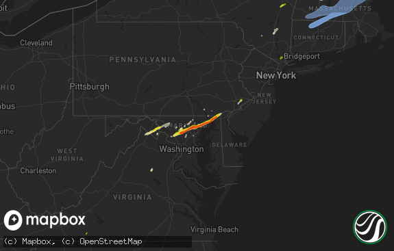
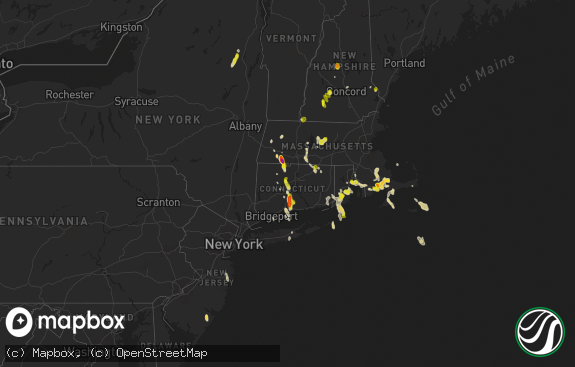
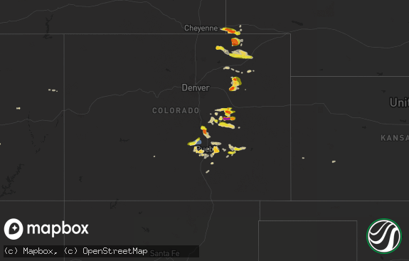
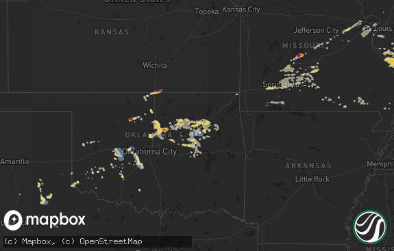
Hail Map in Connecticut on October 2, 2018
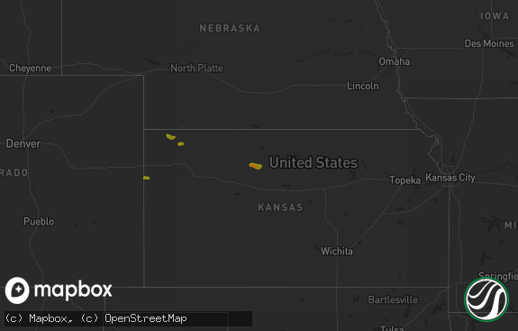
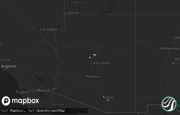
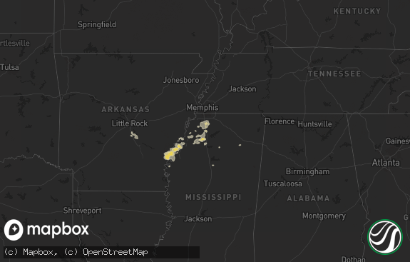
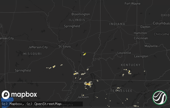
The weather event in Connecticut on October 2, 2018 includes Hail map. 8 states and 220 cities were impacted and suffered possible damage. The total estimated number of properties impacted is 1,822.

Hail
1,822
Estimated number of impacted properties by a 1.00" hail or larger0
Estimated number of impacted properties by a 1.75" hail or larger0
Estimated number of impacted properties by a 2.50" hail or largerStorm reports in Connecticut
Connecticut
| Date | Description |
|---|---|
| 10/02/20186:07 PM CDT | Tree down on west norwalk road and ravenwood road |
| 10/02/20185:12 PM CDT | Ef0 tornado with path length 0.4 mi... Width 30 yds... Max wind speed 70 mph. Trees downed w of storrs rd |
| 10/02/20185:00 PM CDT | Tree and wires down on storrs road near cemetery road |
| 10/02/20184:46 PM CDT | Trees down on route 106 and farm road |
| 10/02/20184:45 PM CDT | Trees down across merritt parkway at exit 37. |
| 10/02/20184:45 PM CDT | Multiple utility poles down on scribner avenue between yorkshire road and gillies lane. |
| 10/02/20184:44 PM CDT | Large tree down on west norwalk road near stony lane |
| 10/02/20184:40 PM CDT | 4 trees downed on east eldridge street and at the intersection of east maple and grandview streets. One downed tree was a healthy birch but a few others were rotted. On |
| 10/02/20184:40 PM CDT | Tree down on weston road at west service road |
| 10/02/20184:35 PM CDT | Route 15 between exits 37 and 38 closed due to downed trees in both directions. |
| 10/02/20184:30 PM CDT | A local report indicates 1.00 inch wind near NEW CANAAN |
| 10/02/20184:29 PM CDT | Storm survey team confirmed an ef1 tornado that began near new canaan and lifted near norwalk with estimated peak winds of 100 mph... A 100 yard path width... And a pat |
| 10/02/20184:28 PM CDT | Storm survey team confirmed an ef1 tornado that began near new canaan and lifted near norwalk with estimated peak winds of 100 mph... A 100 yard path width... And a pat |
| 10/02/201812:55 AM CDT | At 555 PM EDT, a severe thunderstorm was located over Bolton, or near Manchester, moving east at 30 mph. HAZARD...60 mph wind gusts. SOURCE...Radar indicated. IMPACT...Expect damage to trees and power lines. Locations impacted include... Glastonbury, Vernon, Mansfield, Windham, Willimantic, Tolland, Coventry, Hebron, Lebanon, Willington, Columbia, Bolton, Ashford, Andover, Chaplin, Hampton, Eastford, Scotland and Franklin. |
| 10/02/201812:35 AM CDT | At 535 PM EDT, a severe thunderstorm was located over Glastonbury, moving east at 40 mph. HAZARD...60 mph wind gusts. SOURCE...Radar indicated. IMPACT...Expect damage to trees and power lines. Locations impacted include... Hartford, Manchester, East Hartford, Glastonbury, Wethersfield, Mansfield, Windham, Rocky Hill, Willimantic, Cromwell, Coventry, Hebron, Portland, Lebanon, Marlborough, Columbia, Bolton, Andover, Chaplin and Scotland. |
| 10/02/201812:28 AM CDT | At 528 PM EDT, a severe thunderstorm was located over New Canaan, moving east at 35 mph. HAZARD...60 mph wind gusts and penny size hail. SOURCE...Radar indicated. IMPACT...Expect damage to trees and power lines. This severe thunderstorm will be near... Norwalk around 535 PM EDT. Westport around 540 PM EDT. |
All States Impacted by Hail Map on October 2, 2018
Cities Impacted by Hail Map on October 2, 2018
- Lamar, PA
- Mill Hall, PA
- Loganton, PA
- Howard, PA
- Blanchard, PA
- Brockway, PA
- Port Allegany, PA
- Roulette, PA
- Sheffield, PA
- Marienville, PA
- Spring Mills, PA
- Fresno, OH
- Grand Valley, PA
- Titusville, PA
- Blossburg, PA
- Liberty, PA
- Woodland, PA
- Benton, PA
- Orangeville, PA
- Stillwater, PA
- Muncy Valley, PA
- Eagles Mere, PA
- Saegertown, PA
- Rockton, PA
- Reynoldsville, PA
- Du Bois, PA
- Granville, OH
- Pataskala, OH
- Alexandria, OH
- Ralston, PA
- Roaring Branch, PA
- Trout Run, PA
- Morris, PA
- Newcomerstown, OH
- Freeport, OH
- Tippecanoe, OH
- Kimbolton, OH
- Port Washington, OH
- Carmichaels, PA
- Greensboro, PA
- New Stanton, PA
- Centerville, PA
- Camden, WV
- Weston, WV
- Greensburg, PA
- Irwin, PA
- Herminie, PA
- South Park, PA
- Elizabeth, PA
- Finleyville, PA
- Clairton, PA
- Waynesburg, PA
- Prosperity, PA
- Graysville, PA
- Nemacolin, PA
- Jefferson, PA
- Sycamore, PA
- Masontown, PA
- Townville, PA
- Guys Mills, PA
- Cambridge Springs, PA
- Meadville, PA
- Venango, PA
- Conneautville, PA
- Corinne, UT
- Andover, NJ
- Newton, NJ
- Wellsboro, PA
- Clearfield, PA
- Penfield, PA
- West Union, WV
- James City, PA
- Kane, PA
- Tionesta, PA
- Ridgway, PA
- Sigel, PA
- Endeavor, PA
- East Hickory, PA
- Pennsboro, WV
- Drifting, PA
- Grassflat, PA
- Morrisdale, PA
- Brookville, PA
- Clarendon, PA
- New Milton, WV
- Alum Bridge, WV
- Beech Creek, PA
- Linesville, PA
- Spartansburg, PA
- Pleasantville, PA
- Springboro, PA
- Jefferson, OH
- Hydetown, PA
- Pierpont, OH
- Youngwood, PA
- Hunker, PA
- Darragh, PA
- Madison, PA
- Ruffs Dale, PA
- West Newton, PA
- Buena Vista, PA
- Sugarcreek, OH
- Coudersport, PA
- Tidioute, PA
- Laceyville, PA
- Meshoppen, PA
- Mehoopany, PA
- Troutville, PA
- Punxsutawney, PA
- Sykesville, PA
- Luthersburg, PA
- Gnadenhutten, OH
- Saint Edward, NE
- Fairfield, CT
- Westport, CT
- Wilton, CT
- Weston, CT
- Southport, CT
- Bridgeport, CT
- Norwalk, CT
- Canton, PA
- Waterford, PA
- McKean, PA
- Coburn, PA
- Aaronsburg, PA
- Millheim, PA
- Woodward, PA
- Brockport, PA
- Dover, OH
- Millersburg, OH
- New Philadelphia, OH
- Falls Creek, PA
- Mansfield, PA
- Troy, PA
- Mainesburg, PA
- Stamford, CT
- Mount Kisco, NY
- Pound Ridge, NY
- New Canaan, CT
- Bedford Hills, NY
- Bedford, NY
- Clarence, PA
- Mount Pleasant, PA
- Orviston, PA
- Lost Creek, WV
- Jane Lew, WV
- Lewisburg, PA
- Mifflinburg, PA
- Moshannon, PA
- Kylertown, PA
- Frenchville, PA
- Sweet Valley, PA
- Sugar Run, PA
- Grampian, PA
- Curwensville, PA
- Milroy, PA
- Wilcox, PA
- Port Trevorton, PA
- Mount Pleasant Mills, PA
- Arona, PA
- Manor, PA
- Jeannette, PA
- Mckeesport, PA
- Harrison City, PA
- Larimer, PA
- Westmoreland City, PA
- North Versailles, PA
- Karthaus, PA
- Clarington, PA
- Warren, PA
- Ossining, NY
- Croton On Hudson, NY
- Middlebourne, WV
- Ellenboro, WV
- Saint Marys, WV
- Bartonsville, PA
- Stroudsburg, PA
- Bellefonte, PA
- Julian, PA
- Milesburg, PA
- Centre Hall, PA
- Acme, PA
- Latrobe, PA
- Blakeslee, PA
- Lake Harmony, PA
- Albrightsville, PA
- Long Pond, PA
- Stone Creek, OH
- Uhrichsville, OH
- Baltic, OH
- Pittston, PA
- Moscow, PA
- Covington, PA
- Granville Summit, PA
- Salesville, OH
- Quaker City, OH
- Lore City, OH
- Weedville, PA
- Wyalusing, PA
- Lake Hopatcong, NJ
- Wharton, NJ
- Lafayette, NJ
- Rebersburg, PA
- White Haven, PA
- Millville, PA
- Kersey, PA
- Byrnedale, PA
- Piedmont, OH
- Fredonia, PA
- Liverpool, PA
- Dundee, OH
- Barnesville, OH
- Newark, OH
- Columbus, OH
- Johnstown, OH
- Westerville, OH
- New Albany, OH
- Union City, PA
- Unityville, PA
- Shickshinny, PA


