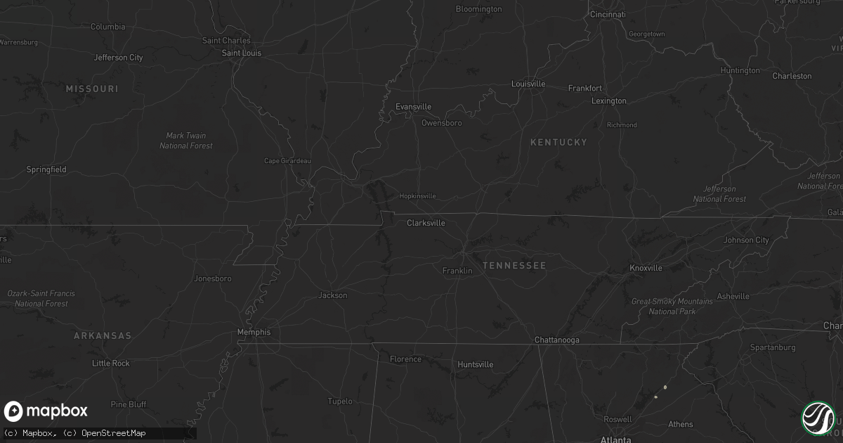
Hail Map in Vermont on August 30, 2022
Get this storm
August 30 map
$229
one time, instant access
Download today. No call, no setup
Keep the $229
Bought the map and want the full workflow? Apply the entire $229 to a subscription within 7 days. None of it is wasted.
Every map, not just this one
This buys you this map. Subscription and you get every map we run, in the markets you choose from a few cities to whole states to nationwide. Plus real-time alerts the moment a storm fires.
Contact data
Name, contact info, occupancy, even credit band for addresses in the footprint. You go from where it hit to who to call.
Become the source they trust
Unlimited branding weather history reports on demand. You already have the documented answer ready for the property owner, and you are the one who showed up with it.
Property data and RoofTrace estimates
Pull up any address you have got, its value and the exact code rules for that jurisdiction, straight from One Click Code. Then RoofTrace estimates the squares, pitch, and roof value, priced the way you price.
Storm reports in Vermont
Vermont
| Date | Description |
|---|---|
| 08/30/20224:30 PM CDT | Tree down at park |
| 08/30/20224:17 PM CDT | Live tree snapped in half. |
| 08/30/20224:13 PM CDT | Tree down |
| 08/30/20224:04 PM CDT | Tree down |
| 08/30/20223:58 PM CDT | Large tree uprooted at appletree point |
| 08/30/20223:57 PM CDT | Downed trees |
| 08/30/20223:55 PM CDT | Several medium to large trees downed in ethan allen park. Time estimated from radar. |
| 08/30/20223:28 PM CDT | Trees and powerlines down in ira and clarendon springs. |
| 08/30/20223:40 AM CDT | Trees down |
| 08/30/202212:06 AM CDT | At 505 PM EDT, a severe thunderstorm was located over North Danville, moving north at 30 mph. HAZARD...60 mph wind gusts and penny size hail. SOURCE...Radar indicated. IMPACT...Expect damage to trees and powerlines. Locations impacted include... St. Johnsbury, Lyndon, West Burke Village, Lyndonville Village, Westmore, East Haven, Wheelock, Burke, Willoughby, Sutton, Barton, Danville, Barton Village, Sheffield, Newark, Newark Hollow, Kirby, Ferdinand, Stannard and Brownington. |
| 08/29/202211:56 PM CDT | At 455 PM EDT, a severe thunderstorm was located over Lower Granville, moving northeast at 35 mph. HAZARD...60 mph wind gusts and penny size hail. SOURCE...Radar indicated. IMPACT...Expect damage to trees and powerlines. Locations impacted include... Barre, Braintree Hill, Orange, Chelsea, Bethel, Websterville, Randolph, Waitsfield, Rochester, Berlin, Chittenden, Granville, Goshen, Barre Town, Northfield Village, Hancock, Topsham Four Corners, Washington, Northfield and Moretown. |
| 08/29/202211:17 PM CDT | At 416 PM EDT, a severe thunderstorm was located over Ira, moving northeast at 35 mph. HAZARD...60 mph wind gusts and nickel size hail. SOURCE...Radar indicated. IMPACT...Expect damage to trees and powerlines. Locations impacted include... Rutland, Killington, Tinmouth, Shrewsbury, Rutland City, Middletown Springs, Lake St. Catherine, Rutland - Southern Vermont Airport, Bridgewater, Mendon, Clarendon, West Rutland, Ira, Proctor, Chittenden, Wells, Poultney, Stockbridge, Pittsfield and Wallingford. |
| 08/29/202211:10 PM CDT | At 410 PM EDT, a severe thunderstorm was located near Crown Point Center, moving northeast at 35 mph. HAZARD...60 mph wind gusts and quarter size hail. SOURCE...Radar indicated. IMPACT...Minor hail damage to vehicles is possible. Expect wind damage to trees and powerlines. Locations impacted include... Vergennes, Moriah, Crown Point, Westport, Ferrisburg, Weybridge, Waltham, New Haven, Panton, Port Henry, Addison, Kingsland Bay State Park, D A R State Park, Crown Point Center, Bridport, Ferrisburgh, Bristol, Shoreham, Monkton and Cornwall. |
| 08/29/202211:09 PM CDT | At 407 PM EDT, a severe thunderstorm was located near Fair Haven, moving northeast at 35 mph. HAZARD...60 mph wind gusts and penny size hail. SOURCE...Radar indicated. IMPACT...Expect damage to trees and powerlines. Locations impacted include... Rutland, Middlebury, Castleton, Cornwall, Sudbury, Salisbury, Orwell, Rochester, Benson, Poultney, Chittenden, Fair Haven, West Rutland, Whiting, Goshen, West Castleton, Hancock, Hubbardton, Poultney Village and Proctor. |
| 08/29/202210:14 PM CDT | At 314 PM EDT, a severe thunderstorm was located near Hudson Falls, moving northeast at 20 mph. HAZARD...60 mph wind gusts and quarter size hail. SOURCE...Trained weather spotters. At 3:10 PM, the Glens Falls Mesonet site reported a 58 mph wind gust. IMPACT...Hail damage to vehicles is expected. Expect wind damage to roofs, siding, and trees. Locations impacted include... Glens Falls, Hudson Falls, Whitehall, Comstock, Glens Falls North, Huletts Landing, Putnam, Queensbury, Kingsbury, Mount Hope, Wright, Hampton, Fort Ann, South Bay, Chipman Point, Dunham Basin, Smiths Basin, Putnam Station, North Granville and South Bay Village. |
All States Impacted by Hail Map on August 30, 2022
Cities Impacted by Hail Map on August 30, 2022
- Estancia, NM
- Biloxi, MS
- Gulfport, MS
- Gainesville, GA
- Middletown Springs, VT
- Pennington, AL
- Boyce, VA
- Winchester, VA
- Sweet Water, AL
- Meridian, MS
- Long Beach, MS
- Butler, AL
- Rose Hill, MS
- Mineville, NY
- Moriah, NY
- Port Henry, NY
- Westport, NY
- Naples, FL
- Sandia Park, NM
- Laredo, TX
- Jachin, AL
- Bellamy, AL
- Alto, GA
- Dixons Mills, AL
- Louin, MS
- Ward, AL
- Pleasanton, TX
- Portage, ME
- Ashland, ME
- Raleigh, MS
- Pulaski, MS
- Glens Falls, NY
- Hudson Falls, NY
- Fort Ann, NY
- Queensbury, NY
- Essex, NY
- Shelburne, VT
- Moriah Center, NY
- Willsboro, NY
- Burlington, VT
- Elizabethtown, NY
- Witherbee, NY
- Culpeper, VA
- Brandy Station, VA
- Stevensburg, VA


