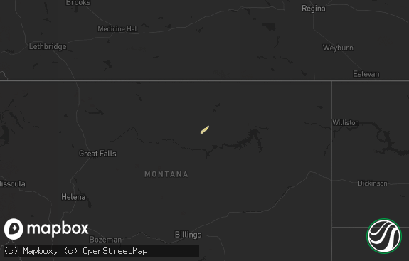
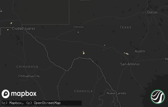
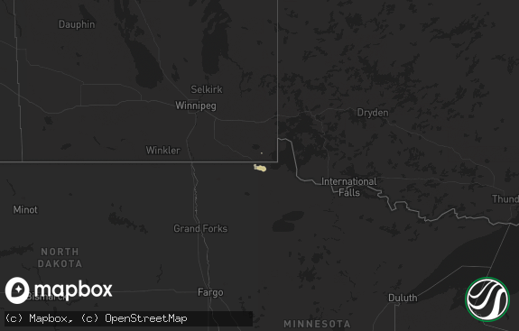
Hail Map in Montana on August 7, 2016
The weather event in Montana on August 7, 2016 includes Hail map. 17 states and 253 cities were impacted and suffered possible damage. The total estimated number of properties impacted is 3,839.

Hail
3,839
Estimated number of impacted properties by a 1.00" hail or larger327
Estimated number of impacted properties by a 1.75" hail or larger0
Estimated number of impacted properties by a 2.50" hail or largerStorm reports in Montana
Montana
| Date | Description |
|---|---|
| 08/07/20166:55 PM CDT | Spotter reports dime to quarter sized hail |
| 08/07/20166:55 PM CDT | Nickel to half dollar size hail falling. |
| 08/07/20166:50 PM CDT | 66 mph wind gust at the ginger raws. Time of event is estimated. |
| 08/07/20166:47 PM CDT | Still hailing at time of call. |
| 08/07/20166:35 PM CDT | Delayed report from aug 7. |
| 08/07/20166:15 PM CDT | A local report indicates 59 MPH wind near 8 SSE WYOLA |
| 08/07/20166:15 PM CDT | 62 mph wind gust at the elkhorn raws location. Time of event is estimated. |
| 08/07/20166:15 PM CDT | Small branches down due to gusty winds. |
| 08/07/20165:45 PM CDT | Estimated quarter size hail falling. |
| 08/07/20165:32 PM CDT | 58 mph wind gust at homestake pass on interstate 90. |
| 08/07/20165:06 PM CDT | After lightning stopped... Spotter measured hail up to 1.25 inches in diameter. This supersedes the previous report of estimated 1 inch hail for this location. |
| 08/07/20164:40 PM CDT | Ping pong size hail falling. |
| 08/07/20164:25 PM CDT | Estimated quarter size hail in the clancy area. |
| 08/06/201610:22 PM CDT | Lindsay divide mt-dot mesonet station recorded a wind gust to 62 mph. |
| 08/06/20169:50 PM CDT | Storm spotter reports quarter sized hail |
| 08/06/20168:45 PM CDT | Quarter sized hail reported just west of sunburst. Time estimated based on radar. |
| 08/06/20168:30 PM CDT | Hail up to quarter size falling. Hail a few inches deep in places. Wind gusts estimated around 50 mph. |
| 08/06/20168:25 PM CDT | Golf ball size hail falling near sunburst. |
| 08/06/20168:11 PM CDT | A local report indicates 63 MPH wind near 23 ENE COLSTRIP |
| 08/06/20167:34 PM CDT | A local report indicates 60 MPH wind near 9 ESE BIRNEY |
| 08/06/20167:00 PM CDT | Hail ranged from pea sized to larger than a quarter |
All States Impacted by Hail Map on August 7, 2016
Cities Impacted by Hail Map on August 7, 2016
- Soda Springs, ID
- Arnett, OK
- Forgan, OK
- Naples, TX
- Boise City, OK
- Richmond, UT
- Franklin, ID
- Lewiston, UT
- Wister, OK
- Moose, WY
- Woodruff, UT
- Townsend, MT
- Aladdin, WY
- Neihart, MT
- Hobson, MT
- Stanford, MT
- Jennings, LA
- Winston, MT
- Douglas, WY
- Gillette, WY
- Fairplay, CO
- Zenda, KS
- Mena, AR
- Talmage, UT
- White Sulphur Springs, MT
- Wayan, ID
- Cheyenne, WY
- Guernsey, WY
- Yoder, WY
- Jay Em, WY
- Fort Laramie, WY
- Wellington, KS
- Oxford, KS
- Chickamauga, GA
- Eden, UT
- Clancy, MT
- Basin, MT
- Butte, MT
- Warm Springs, MT
- Jefferson City, MT
- Helena, MT
- Boulder, MT
- East Helena, MT
- Hartville, WY
- Glendo, WY
- Wolf Point, MT
- Boles, AR
- Booker, TX
- Ames, OK
- Nash, OK
- Huntington, AR
- Hackett, AR
- Greenwood, AR
- Salmon, ID
- Mountain Home, UT
- Balko, OK
- Hardesty, OK
- Rock Hill, SC
- Wheatland, WY
- Lingle, WY
- Altamont, UT
- Duchesne, UT
- Beaver, OK
- Benton, LA
- Montpelier, ID
- Paris, ID
- Evanston, WY
- Cokeville, WY
- Lodge Grass, MT
- Whitehall, MT
- Rigby, ID
- Idaho Falls, ID
- Rexburg, ID
- Spearman, TX
- Alpine, WY
- Etna, WY
- Waynoka, OK
- Tellico Plains, TN
- Decker, MT
- Erath, LA
- Haughton, LA
- Bossier City, LA
- Jeanerette, LA
- Parkman, WY
- Dayton, WY
- Wyola, MT
- Carmen, ID
- Rozet, WY
- Geyser, MT
- Gray Court, SC
- Fountain Inn, SC
- Preston, ID
- Winnfield, LA
- Monarch, MT
- Roosevelt, UT
- Sunburst, MT
- Lusk, WY
- Egan, LA
- Crowley, LA
- Colorado Springs, CO
- Divide, MT
- Weston, WY
- Hulett, WY
- Moorcroft, WY
- Upton, WY
- Nordman, ID
- Conway Springs, KS
- Sunray, TX
- Otter, MT
- Dingle, ID
- Mayfield, KS
- Newcastle, WY
- Ellis, ID
- Alva, OK
- Fargo, OK
- Raynesford, MT
- Panama City Beach, FL
- Alta, WY
- Eagletown, OK
- Valliant, OK
- Ringold, OK
- Rattan, OK
- Watonga, OK
- Sheridan, WY
- Banner, WY
- Clearmont, WY
- Smithville, OK
- Watson, OK
- Rangely, CO
- Perryton, TX
- Homer, LA
- Athens, LA
- Hooker, OK
- Rock, KS
- Whitesboro, OK
- Carrier, OK
- Enid, OK
- Canon City, CO
- Anaconda, MT
- Okeene, OK
- Kevin, MT
- Honobia, OK
- Talihina, OK
- Bancroft, ID
- Plains, KS
- Toston, MT
- East Carbon, UT
- Mooreland, OK
- Stinnett, TX
- Edgemont, SD
- Arcadia, LA
- Gibsland, LA
- Foreman, AR
- Winthrop, AR
- Garrett, WY
- Abbeville, LA
- Ruston, LA
- Iota, LA
- Cut Bank, MT
- Sweet Grass, MT
- Lithonia, GA
- Conyers, GA
- Canadian, TX
- Fort Supply, OK
- Sedan, KS
- Ashford, AL
- Longdale, OK
- Canton, OK
- Hitchcock, OK
- Isabella, OK
- Southard, OK
- Birney, MT
- De Beque, CO
- Oral, SD
- Garden Plain, KS
- Montrose, CO
- Dodson, LA
- Gueydan, LA
- Lake Arthur, LA
- Rayne, LA
- Church Point, LA
- Catawba, SC
- Sharon, KS
- Medicine Lodge, KS
- Woodward, OK
- Kaplan, LA
- Duson, LA
- Wolf, WY
- Lahoma, OK
- Franklin, LA
- Fort Payne, AL
- Chester, OK
- Galata, MT
- Simpsonville, SC
- Oilmont, MT
- Haworth, OK
- Kingman, KS
- Dubach, LA
- Trout, LA
- Hazelton, KS
- Lancaster, SC
- Kemmerer, WY
- Linden, TX
- Briscoe, TX
- Lake Charles, LA
- Fairview, UT
- Grace, ID
- Torrington, WY
- Florissant, CO
- Viola, KS
- Sikes, LA
- Hermitage, AR
- Lima, MT
- Ririe, ID
- Jet, OK
- Zachary, LA
- Malone, FL
- Marianna, FL
- Nucla, CO
- North Fork, ID
- Logan, UT
- Swan Valley, ID
- Cody, WY
- Pond Creek, OK
- Kremlin, OK
- Omaha, TX
- Irwin, ID
- Cleo Springs, OK
- Cerrillos, NM
- Doddridge, AR
- Leadore, ID
- Westville, FL
- Geneva, AL
- Thomas, OK
- Madisonville, TN
- Vonore, TN
- Shreveport, LA
- Mutual, OK
- Valley Head, AL
- Shawnee, WY
- Medford, OK
- Nashville, KS
- Fruitland, UT
- Big Horn, WY
- Quitman, LA
- Jonesboro, LA
- Collinsville, AL
- Lyman, WY
- Fort Bridger, WY
- Lake George, CO
- Plain Dealing, LA
- Bell City, LA
- Wise River, MT


