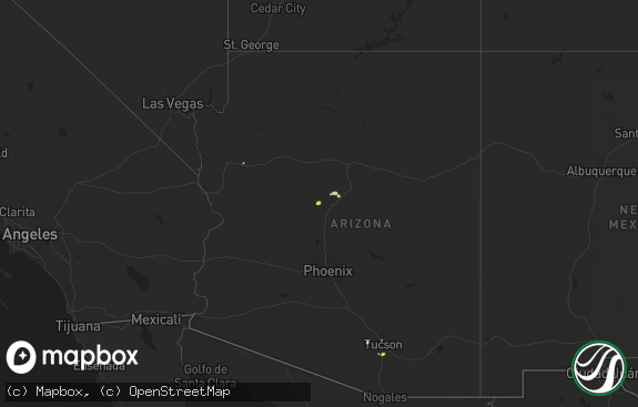
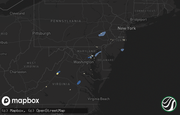
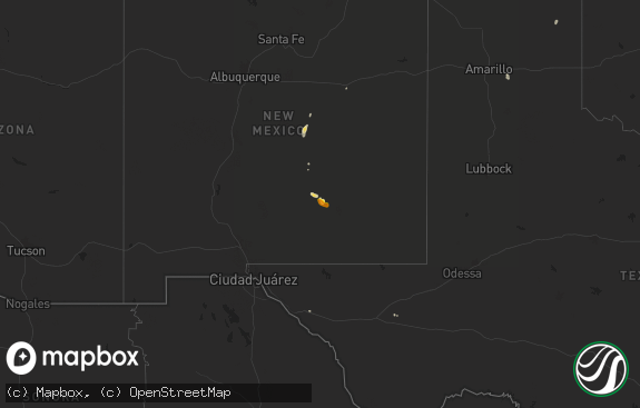
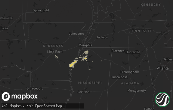
Hail Map in New Jersey on June 13, 2018
The weather event in New Jersey on June 13, 2018 includes Hail map. 24 states and 508 cities were impacted and suffered possible damage. The total estimated number of properties impacted is 0.

Hail
0
Estimated number of impacted properties by a 1.00" hail or larger0
Estimated number of impacted properties by a 1.75" hail or larger0
Estimated number of impacted properties by a 2.50" hail or largerStorm reports in New Jersey
New Jersey
| Date | Description |
|---|---|
| 06/13/20185:56 AM CDT | At 1054 PM EDT, severe thunderstorms were located along a line extending from near Analomink to Jonas, moving southeast at 40 mph. HAZARD...70 mph wind gusts and penny size hail. SOURCE...Radar indicated. IMPACT...Expect considerable tree damage. Damage is likely to mobile homes, roofs, and outbuildings. Locations impacted include... East Stroudsburg, Blairstown, Bangor, Pen Argyl, Wind Gap, Belvidere, Hope, Belfast, East Bangor, Stormville, Brodheadsville, Kunkletown, Werry Lake, Gilbert, Millbrook, Delaware Water Gap, Tannersville, Rossland, Hernyville and Kresgeville. |
| 06/13/20185:07 AM CDT | At 1007 PM EDT, a severe thunderstorm was located over Bear Creek Village, or 8 miles southeast of Wilkes-Barre, moving east at 45 mph. HAZARD...60 mph wind gusts and penny size hail. SOURCE...Radar indicated. IMPACT...Damage to roofs, siding, trees, and power lines is possible. Locations impacted include... Mount Pocono, East Stroudsburg, Tobyhanna, Wind Gap, Stormville, Brodheadsville, Kunkletown, Werry Lake, Pocono Pines, Gilbert, Pocono Raceway, Lake Harmony, Delaware Water Gap, Tannersville, Mountainhome, Alpine Mountain, Rossland, Long Pond, Albrightsville and Hernyville. |
| 06/12/201810:46 PM CDT | Large tree branch down at intersection of asbury road and ketchum road. Time estimated from radar. |
| 06/12/201810:42 PM CDT | Tree down on catswamp rd |
| 06/12/201810:31 PM CDT | Large branches blocking lane on i-80w. |
All States Impacted by Hail Map on June 13, 2018
Cities Impacted by Hail Map on June 13, 2018
- Albert City, IA
- Emmetsburg, IA
- Graettinger, IA
- Fenton, IA
- Cylinder, IA
- Ringsted, IA
- Burke, SD
- Ola, AR
- Eads, CO
- Vernon, TX
- Benton, AR
- Peterson, IA
- Brant Lake, NY
- Alexander, AR
- Saint Francis, SD
- Addison, NY
- Woodhull, NY
- Eldorado, OH
- West Manchester, OH
- New Madison, OH
- Arlington, IN
- Rushville, IN
- Jonesville, LA
- Norway, KS
- Cambridge, IA
- Maxwell, IA
- Deming, NM
- El Dorado, AR
- Laurel, IA
- Haverhill, IA
- Marshalltown, IA
- Gilman, IA
- Yuma, CO
- La Luz, NM
- Anguilla, MS
- Dover, AR
- Russellville, AR
- Elmer, OK
- Sanborn, IA
- Saint Cloud, FL
- Ozark, MO
- Mount Ida, AR
- Story, AR
- Machias, NY
- West Valley, NY
- Delevan, NY
- Adrian, MN
- Greenbrier, AR
- Hamburg, AR
- Jones, LA
- Bonita, LA
- Kingfisher, OK
- Little Rock, AR
- Otis, CO
- Fountain Hill, AR
- Wilmar, AR
- Hermitage, AR
- Hope, IN
- Greensburg, IN
- Columbus, IN
- Ramah, CO
- Rush, CO
- Hugo, CO
- Evansville, IN
- Haigler, NE
- Yoder, CO
- Sutherland, IA
- Hollandale, MS
- Eckley, CO
- Dallas, SD
- Winner, SD
- Colome, SD
- Cowansville, PA
- Kittanning, PA
- Manson, IA
- Orleans, IN
- Kirbyville, MO
- Louise, MS
- Valmora, NM
- Pine Bluff, AR
- Haubstadt, IN
- Fort Branch, IN
- Ruthven, IA
- Runnells, IA
- Prairie City, IA
- Ocate, NM
- Mora, NM
- Sheridan, AR
- Clarendon, AR
- Fort Dodge, IA
- Duncombe, IA
- Vincent, IA
- Webster City, IA
- Woolstock, IA
- Webb, IA
- Alamogordo, NM
- Nenzel, NE
- Kilgore, NE
- Urbana, OH
- Springfield, OH
- Saint Paris, OH
- Valley Springs, AR
- Yellville, AR
- Saint Joe, AR
- Pyatt, AR
- Harrison, AR
- Everton, AR
- Saint Paul, IN
- Westport, IN
- Chillicothe, OH
- Londonderry, OH
- Callender, IA
- Moorland, IA
- Logan, OH
- Sugar Grove, OH
- Rockbridge, OH
- Greenville, MS
- Whiteland, IN
- Greenwood, IN
- Harrisburg, IL
- Hartsville, IN
- Moville, IA
- Surrency, GA
- Odum, GA
- Mission, SD
- Scipio, IN
- Grammer, IN
- Elizabethtown, IN
- Hardinsburg, KY
- Pen Argyl, PA
- Bangor, PA
- Bauxite, AR
- Leola, AR
- Hampton, AR
- Calion, AR
- Jolley, IA
- Lake View, IA
- Auburn, IA
- Lytton, IA
- Rockwell City, IA
- Sac City, IA
- Alvord, IA
- Rock Rapids, IA
- Ellsworth, MN
- Simla, CO
- Matheson, CO
- Owensboro, KY
- Reed, KY
- Henderson, KY
- Hatch, NM
- Arrey, NM
- Wiggins, MS
- Brooklyn, MS
- Lexa, AR
- Arkadelphia, AR
- Heltonville, IN
- Norman, IN
- Paron, AR
- Conway, AR
- Kingsley, IA
- Marcus, IA
- Nineveh, IN
- Edinburgh, IN
- Jackson, OH
- Minford, OH
- Beaver, OH
- Peel, AR
- Port Orange, FL
- Franklinville, NY
- Knierim, IA
- Otho, IA
- Somers, IA
- Barnum, IA
- Sheffield, IA
- Burnside, IA
- Lehigh, IA
- Gowrie, IA
- Kimbolton, OH
- Lore City, OH
- Piedmont, OH
- Freeport, OH
- Watonga, OK
- Bigelow, MN
- Worthington, MN
- Altheimer, AR
- Lake Andes, SD
- Pierson, IA
- Silver Bay, NY
- Putnam Station, NY
- Hague, NY
- Grove City, PA
- Kanawha, IA
- Star City, AR
- Sioux Rapids, IA
- Houghton, NY
- Rushford, NY
- Freedom, NY
- Farmersville Station, NY
- Springville, NY
- Cuba, NY
- Caneadea, NY
- Omaha, AR
- Lead Hill, AR
- Paullina, IA
- Cleghorn, IA
- Wood, SD
- Okreek, SD
- Pocahontas, IA
- Pomeroy, IA
- Palmer, IA
- Highlandville, MO
- Poyen, AR
- Malvern, AR
- Churdan, IA
- Atlantic Beach, FL
- Lamar, IN
- Ayrshire, IA
- Flippin, AR
- Chicora, PA
- Karns City, PA
- Rimersburg, PA
- Rural Valley, PA
- Manorville, PA
- Fenelton, PA
- Ford City, PA
- Dayton, PA
- East Brady, PA
- Templeton, PA
- Worthington, PA
- Adrian, PA
- Monroe, IA
- Richland, IN
- Mena, AR
- Rison, AR
- Shaw, MS
- Freetown, IN
- Sibley, IA
- Mellwood, AR
- Larrabee, IA
- Kingston, OH
- Socorro, NM
- Tipton, OK
- Rolling Fork, MS
- Christiansburg, OH
- Casstown, OH
- Fletcher, OH
- Conover, OH
- Monticello, AR
- Milroy, IN
- Bulger, PA
- Burgettstown, PA
- Linn Grove, IA
- Harrold, TX
- Oklaunion, TX
- Vilonia, AR
- Enola, AR
- Trafalgar, IN
- Morgantown, IN
- Nashville, IN
- Jonesville, IN
- Kelley, IA
- Primghar, IA
- Hartley, IA
- Titonka, IA
- Buffalo Center, IA
- Rye, CO
- Madrid, IA
- Warren, AR
- Mount Vernon, IN
- Tichnor, AR
- Snow Lake, AR
- Leland, MS
- Wagon Mound, NM
- Boone, IA
- Bloomingburg, OH
- Laurens, IA
- Havelock, IA
- Fonda, IA
- Altus, OK
- Odell, TX
- Portsmouth, OH
- Wheelersburg, OH
- Bradford, OH
- Covington, OH
- Bristow, IN
- Camden, OH
- French Lick, IN
- Wabbaseka, AR
- Stuttgart, AR
- Granville, IA
- Greenville, IA
- Spencer, IA
- Cherokee, IA
- Archer, IA
- Bronson, IA
- Hornick, IA
- Meriden, IA
- Aurelia, IA
- Royal, IA
- Remsen, IA
- Anthon, IA
- Ashton, IA
- Sheldon, IA
- Correctionville, IA
- Oxford, NJ
- Wray, CO
- Canal Winchester, OH
- Shelbyville, IN
- Frederick, OK
- Theresa, NY
- Duncan, MS
- Alligator, MS
- Clarksdale, MS
- Greenville, OH
- Murdo, SD
- Lucasville, OH
- Franklin Furnace, OH
- Ames, IA
- Carriere, MS
- Lonsdale, AR
- Traskwood, AR
- New Matamoras, OH
- Paducah, TX
- Farnhamville, IA
- Baxter, IA
- Stratford, IA
- Washington, IN
- Calhoun, KY
- Utica, KY
- New Smyrna Beach, FL
- Avondale, CO
- Robertsdale, AL
- Cimarron, NM
- Martinsville, IN
- Brownstown, IN
- Holman, NM
- Chamisal, NM
- Chacon, NM
- Hockley, TX
- Fowler, CO
- Story City, IA
- Mercer, PA
- Franklin, IN
- Damascus, AR
- Tularosa, NM
- Lindsay, NE
- Geddes, SD
- Seymour, IN
- Schnellville, IN
- Celestine, IN
- Birdseye, IN
- Saint Anthony, IN
- Ferdinand, IN
- Bedford, IN
- Little Rock, IA
- George, IA
- Belfast, NY
- Angelica, NY
- Mer Rouge, LA
- Omega, OK
- High Rolls Mountain Park, NM
- Gregory, SD
- Colfax, IA
- Irene, SD
- Altoona, IA
- Badger, IA
- Clare, IA
- Humboldt, IA
- Norris City, IL
- Bancroft, IA
- Lone Rock, IA
- Montrose, AR
- Sims, AR
- Danville, AR
- Curlew, IA
- Elkhart, IA
- Bondurant, IA
- Lancaster, OH
- Carroll, OH
- Eaton, OH
- Kit Carson, CO
- Galva, IA
- Shirley, IN
- New Castle, IN
- Kennard, IN
- Hays, KS
- Santa Rosa, NM
- Bonita Springs, FL
- Lismore, MN
- Chandler, MN
- Edgerton, MN
- Doon, IA
- Flat Rock, IN
- Indianapolis, IN
- Griffithville, AR
- Ogden, IA
- Mount Bethel, PA
- Saylorsburg, PA
- Brodheadsville, PA
- Saint Augustine, FL
- Huxley, IA
- Polk City, IA
- Bouton, IA
- Grimes, IA
- Granger, IA
- Dallas Center, IA
- Luther, IA
- Slater, IA
- Woodward, IA
- Harris, IA
- Mitchellville, IA
- Commiskey, IN
- Hollister, MO
- Waldron, AR
- Des Arc, AR
- Pueblo, CO
- Medora, IN
- Marion, LA
- Vicksburg, MS
- Conyers, GA
- Minburn, IA
- Collins, IA
- Abbeville, LA
- Lehigh Acres, FL
- North Vernon, IN
- Morganfield, KY
- Norman, AR
- South Charleston, OH
- South Solon, OH
- Magnolia, TX
- White River, SD
- Fort Myers, FL
- Rome, IN
- Cannelton, IN
- Stephensport, KY
- Raleigh, IL
- Eldorado, IL
- Dickens, IA
- Marathon, IA
- Parrish, FL
- Wimauma, FL
- Petersburg, IN
- Uniontown, KY
- Rohwer, AR
- Quanah, TX
- Mallard, IA
- Tunnelton, IN
- Pomeroy, OH
- Albany, OH
- New Paris, OH
- Mitchell, IN
- Lohrville, IA
- Camden, AR
- La Fargeville, NY
- Clayton, NY
- Kiowa, CO
- Elnora, IN
- Okaton, SD
- Cloverport, KY
- Hawesville, KY
- Richfield Springs, NY
- Ribera, NM
- Bradenton, FL
- Ransom, KS
- Huntingburg, IN
- Dale, IN
- Watson, AR
- Florence, VT
- Castleton, VT
- Lewisville, IN
- Knightstown, IN
- Paoli, IN
- Dubois, IN
- Maurice, LA
- Marshall, AR
- Evanston, IN
- Saint Meinrad, IN
- Schaller, IA
- Sherwood, AR
- Rushmore, MN
- Wilmont, MN
- Reading, MN
- Battle Creek, IA
- Tillar, AR
- Prattsville, AR
- Storm Lake, IA
- Rembrandt, IA
- Alta, IA
- Truesdale, IA
- Hillsboro, NM
- Spiceland, IN
- Cleveland, MS
- Boyle, MS
- Plainville, KS
- Stockton, KS
- Colorado City, CO
- Wilkes Barre, PA
- East Concord, NY
- Fillmore, NY
- Allen, SD
- Tuthill, SD
- Martin, SD
- Cody, NE
- Crookston, NE
- Merriman, NE
- Norris, SD
- Long Valley, SD
- Bastrop, LA


