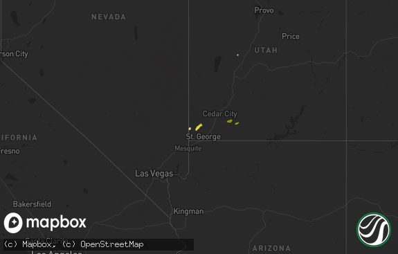
Hail Map in Utah on May 30, 2018
The weather event in Utah on May 30, 2018 includes Hail map. 13 states and 121 cities were impacted and suffered possible damage. The total estimated number of properties impacted is 0.

Hail
0
Estimated number of impacted properties by a 1.00" hail or larger0
Estimated number of impacted properties by a 1.75" hail or larger0
Estimated number of impacted properties by a 2.50" hail or largerStorm reports in Utah
Utah
| Date | Description |
|---|---|
| 05/29/20189:55 PM CDT | A storm survey concluded that 50-65 mph microburst winds caused mainly tree damage in centerville utah. |
| 05/29/20189:20 PM CDT | A local report indicates 59 MPH wind near 4 NNE La Verkin |
| 05/29/20189:03 PM CDT | At 203 PM PDT, a severe thunderstorm was located 13 miles south of Montello, moving north at 25 mph. HAZARD...60 mph wind gusts and quarter size hail. SOURCE...Radar indicated. IMPACT...Hail damage to vehicles is expected. Expect wind damage to roofs, siding, and trees. Locations impacted include... Montello. |
| 05/29/20188:55 PM CDT | Target r - 4311 ft. |
| 05/29/20188:55 PM CDT | Camel back mountain - 5077 ft. |
| 05/29/20188:35 PM CDT | Salt flats - 4265 ft. |
All States Impacted by Hail Map on May 30, 2018
Cities Impacted by Hail Map on May 30, 2018
- Keyes, OK
- Larkspur, CO
- Franktown, CO
- Monument, CO
- Colorado Springs, CO
- Meridian, MS
- Toomsuba, MS
- Follett, TX
- Lisman, AL
- Boise, ID
- Garden City, ID
- Gruver, TX
- Arnett, OK
- Peyton, CO
- Elbert, CO
- Arapahoe, CO
- Boise City, OK
- Canadian, TX
- Higgins, TX
- Crawford, OK
- Perryton, TX
- Booker, TX
- Lipscomb, TX
- Matheson, CO
- Limon, CO
- Schlater, MS
- Minter City, MS
- Doddsville, MS
- Ruleville, MS
- Elizabeth, CO
- Alamo, ND
- Grenora, ND
- Zahl, ND
- Spivey, KS
- Nashville, KS
- Zenda, KS
- Texhoma, OK
- Felt, OK
- Texhoma, TX
- Stratford, TX
- Dalhart, TX
- Spearman, TX
- Boulder, CO
- Jamestown, CO
- Hardesty, OK
- Clayton, NM
- Rush, CO
- Yoder, CO
- Aneta, ND
- Durant, OK
- Woodward, OK
- Kiowa, CO
- Goodwell, OK
- Calhan, CO
- Nampa, ID
- Caldwell, ID
- Murphy, ID
- Melba, ID
- Pueblo, CO
- Camargo, OK
- Massena, IA
- Broadus, MT
- Collinsville, MS
- Fargo, OK
- Cope, CO
- Fort Morgan, CO
- Balko, OK
- Kirk, CO
- Attica, KS
- Beaver, OK
- Shattuck, OK
- Joes, CO
- Yuma, CO
- De Kalb, MS
- Bailey, MS
- Vici, OK
- Leedey, OK
- Sharon, OK
- Weskan, KS
- Cartwright, ND
- Guymon, OK
- Karlstad, MN
- Hazelton, ID
- Murtaugh, ID
- Boley, OK
- Bokchito, OK
- Hendrix, OK
- Tremonton, UT
- Vona, CO
- Gage, OK
- Paden, OK
- Okemah, OK
- Hansen, ID
- Malta, ID
- Senatobia, MS
- Marion, MS
- Quitman, MS
- Cascade, MT
- Kenton, OK
- Keenesburg, CO
- Hudson, CO
- Sand Springs, MT
- Alexander, ND
- Kingman, KS
- Daleville, MS
- Kuna, ID
- Prague, OK
- Boligee, AL
- Laverne, OK
- Tonkawa, OK
- Cunningham, KS
- Anton, CO
- Akron, CO
- Durham, OK
- Wellston, OK
- Mosby, MT
- Winnett, MT
- Brusett, MT
- Jordan, MT
- Circle, MT
- Little Rock, MS


