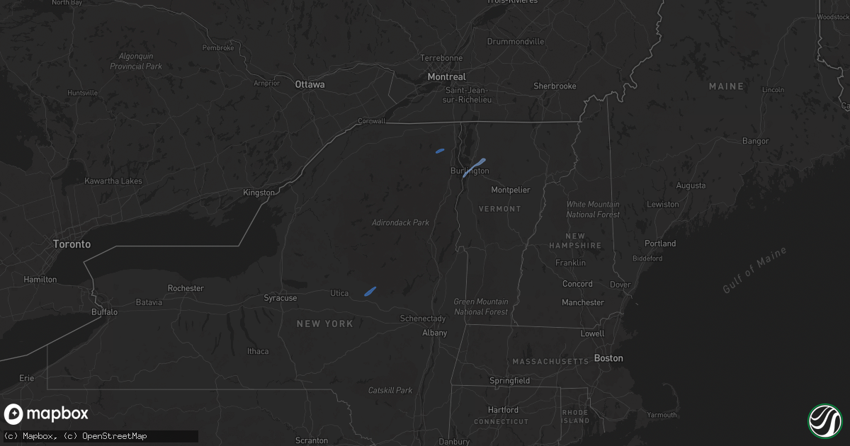
Hail Map in Vermont on October 16, 2021
Get this storm
October 16 map
$229
one time, instant access
Download today. No call, no setup
Keep the $229
Bought the map and want the full workflow? Apply the entire $229 to a subscription within 7 days. None of it is wasted.
Every map, not just this one
This buys you this map. Subscription and you get every map we run, in the markets you choose from a few cities to whole states to nationwide. Plus real-time alerts the moment a storm fires.
Contact data
Name, contact info, occupancy, even credit band for addresses in the footprint. You go from where it hit to who to call.
Become the source they trust
Unlimited branding weather history reports on demand. You already have the documented answer ready for the property owner, and you are the one who showed up with it.
Property data and RoofTrace estimates
Pull up any address you have got, its value and the exact code rules for that jurisdiction, straight from One Click Code. Then RoofTrace estimates the squares, pitch, and roof value, priced the way you price.
Storm reports in Vermont
Vermont
| Date | Description |
|---|---|
| 10/16/20212:55 PM CDT | Tree down on kate brook road. |
| 10/16/20212:06 PM CDT | Powerlines down on route 116 just north of ireland road. |
| 10/16/20212:02 PM CDT | Tree down on jericho road near sand hill road. |
| 10/16/20212:01 PM CDT | Trees and powerlines down on fairfield rd. |
| 10/16/20212:00 PM CDT | Tree down on powerline on rollin irish road between milton and westford. |
| 10/16/20211:58 PM CDT | Tree down on power lines on brigham hill road. |
| 10/16/20211:55 PM CDT | Tree down on beebee road. |
| 10/16/20211:45 PM CDT | Tree across mt philo road just north of the hinesburg road intersection. |
| 10/15/20219:55 PM CDT | At 255 PM EDT, severe thunderstorms were located along a line extending from Province Point to St. Albans City to West Milton, moving northeast at 55 mph. HAZARD...60 mph wind gusts. SOURCE...Radar indicated. IMPACT...Expect damage to trees and powerlines. Locations impacted include... Enosburg Falls, Franklin, Johnson Village, Jay, Jay In Franklin County, Cambridge, Montgomery Center, Hyde Park, Montgomery, St. Albans City, Fairfax, Troy, Sheldon, Belvidere Center, Georgia, Enosburg, Swanton, Waterville, St. Albans Town and Johnson. |
| 10/15/20219:40 PM CDT | At 239 PM EDT, severe thunderstorms were located along a line extending from Boquet River Point to Ironville to near Pharoah Mountain, moving east at 45 mph. There have been reports of downed trees near Schroon Lake in association with these storms. HAZARD...60 mph wind gusts. SOURCE...Emergency management. IMPACT...Expect damage to trees and powerlines. Locations impacted include... Essex Junction, Burlington International Airport, Montpelier, Middlebury, South Burlington, Burlington, Vergennes, Moriah, Willsboro, Crown Point, Morrisville, Westport, Braintree Hill, Cambridge, Salisbury, Waterbury Village, Orwell, Westford, Colchester and Essex Junction Village. |
| 10/15/20219:21 PM CDT | At 221 PM EDT, a severe thunderstorm was located over Jericho, moving northeast at 40 mph. HAZARD...60 mph wind gusts. SOURCE...Radar indicated. IMPACT...Expect damage to trees and powerlines. Locations impacted include... Plattsburgh, Beekmantown, Chazy, Alburgh Village, South Alburgh, Alburgh, Alburgh Dunes State Park, North Hero, Isle La Motte, Jericho, Dannemora, Rouses Point, Champlain, St. Albans Town, Swanton, Grand Isle, Wagner Point, Young Island, North Hero State Park and Scott Point. |


